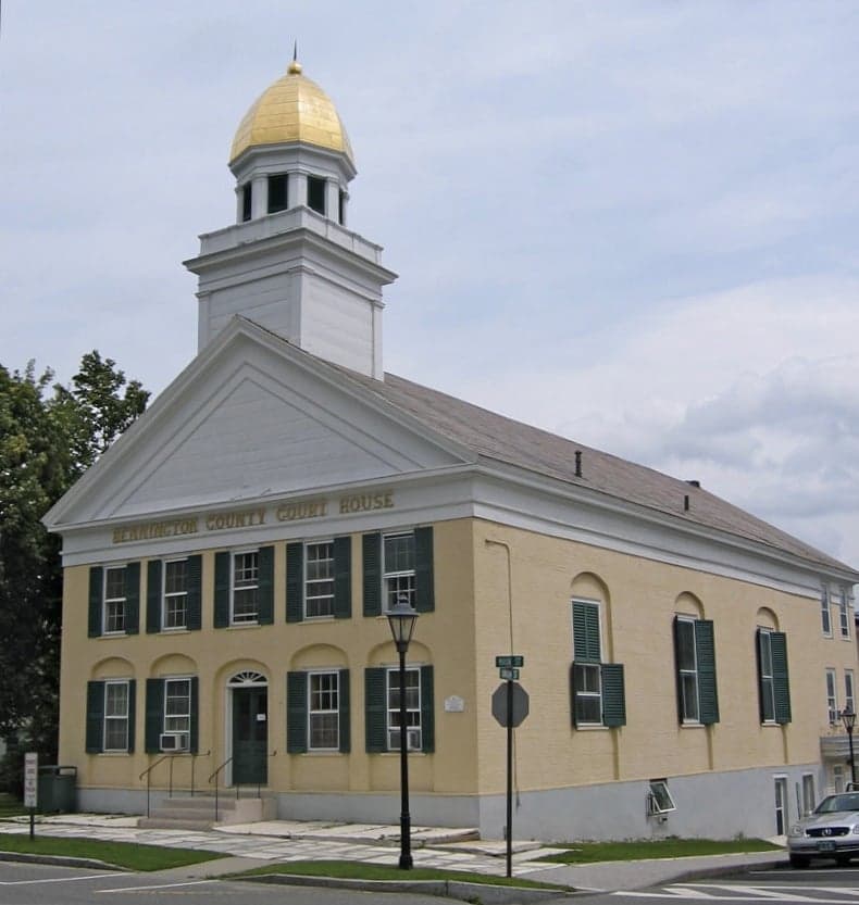
Photo: Wikipedia
Strategic Assessment of Bennington County
Meaningful friction. Expect exposure to either population pressure, blast zones, or natural disaster risk. Consider buying a retreat property.
What does the Strategic Assessment tell us?
Our Strategic Assessment grades tactical survivability of an area. Major population centers, military targets, fallout zones, natural disasters, and border exposure all drive risk — lower exposure means a more defensible position in a crisis.
This is heavily inspired by Joel Skousen's Strategic Relocation book. Highly recommended you checkout the book ($)What does this tell us?
Our Strategic Assessment grades tactical survivability of an area. Major population centers, military targets, fallout zones, natural disasters, and border exposure all drive risk — lower exposure means a more defensible position in a crisis.
This is heavily inspired by Joel Skousen's Strategic Relocation book. Highly recommended you checkout the book ($)Strategic Pillars

Key Distances
Strategic Assessment Analysis
Bennington County, Vermont, offers a compelling strategic profile for relocators prioritizing disaster readiness and self-sufficiency, blending genuine geographic insulation with practical, small-town resilience. Its position in the southwestern corner of the state, anchored by the towns of Bennington, Manchester, and Arlington, provides a rare combination of distance from major metropolitan targets and access to the natural resources needed for long-term sustainability. While no location is risk-free, Bennington County’s mix of low population density, defensible terrain, and strong local food systems makes it a serious contender for those thinking through worst-case scenarios.
Geographic position and natural advantages for self-sufficiency
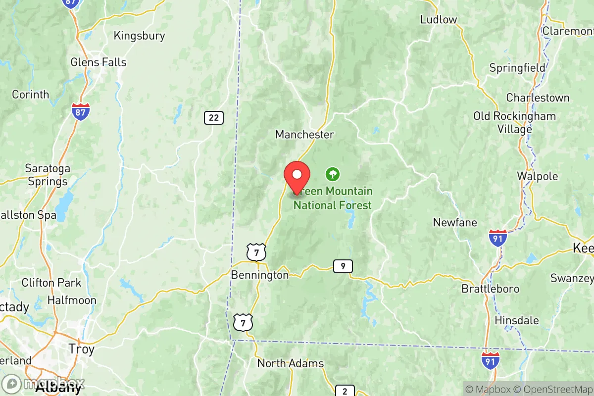
Bennington County sits in the Taconic and Green Mountain ranges, offering a natural buffer against the chaos of urban centers. The county is roughly 40 miles from Albany, New York, and 90 miles from Boston—close enough for supply runs in normal times, but far enough to avoid the immediate fallout zones of those metro areas. The terrain itself is a strategic asset: the Green Mountains create natural chokepoints along Routes 7 and 9, making the area inherently defensible against uncontrolled movement. The county’s elevation, averaging over 1,000 feet, also reduces flood risk compared to low-lying river valleys elsewhere in New England. For a relocator, this means the landscape works with you, not against you. The Batten Kill and Walloomsac River provide reliable surface water sources, and the region’s dense forests offer ample timber for construction and heating. The county’s agricultural heritage, particularly in the valleys around Arlington and Shaftsbury, supports a network of small farms and orchards that can sustain local food production even if supply chains falter.
Risks, exposures, and proximity to fallout-relevant landmarks
Bennington County’s primary risk exposure comes from its proximity to Albany’s industrial and transportation corridor, which includes rail yards, chemical storage facilities, and the Port of Albany—a hub for fertilizer and petroleum products. A major incident there could send a plume up the Hudson Valley, though prevailing winds typically carry it east or northeast, away from Bennington. More directly, the county lies about 50 miles from the Vermont Yankee nuclear site (now decommissioned but still storing spent fuel) and roughly 70 miles from the Indian Point nuclear plant in New York (also decommissioned but with ongoing waste storage). While these are not active reactors, the spent fuel pools remain a low-probability, high-consequence risk. On the man-made side, Bennington County is far from major military installations like Fort Drum (130 miles) or the Portsmouth Naval Shipyard (200 miles), which reduces its attractiveness as a secondary target. The county’s biggest natural risk is winter storms and ice events, which can knock out power for days—a manageable threat for prepared residents but a real one for newcomers. Earthquake risk is minimal, and the area is not in a hurricane zone. Overall, the county’s risk profile is moderate, with the main concerns being regional industrial accidents and winter weather, not direct nuclear or military strikes.
Practical resilience for a relocator: food, water, energy, and defensibility
For someone serious about self-sufficiency, Bennington County delivers on the basics. Food security is strong: the county has over 200 working farms, with a concentration of dairy, vegetable, and maple syrup operations in the valleys. The Bennington Farmers’ Market and Manchester’s seasonal markets provide direct access to local produce, and the region’s soil quality in the Batten Kill valley supports home gardening. Water availability is excellent—the county averages 45 inches of rainfall annually, and groundwater is accessible via wells in most areas. Surface water from the Batten Kill and its tributaries is reliable, though treatment would be needed in a grid-down scenario. Energy resilience is a mixed picture: the grid is served by Green Mountain Power, which has invested in storm hardening, but outages are common in winter. Solar potential is moderate (the county gets about 160 sunny days per year), but micro-hydro from streams is viable on many properties. Wood heating is the norm in rural areas, with abundant fuel available. Defensibility is a standout feature: the county’s road network is limited, with only two major north-south routes (US-7 and VT-9) and few east-west connectors. This creates natural chokepoints that can be monitored or controlled. The population density is just 67 people per square mile, meaning neighbors are few and far between—a double-edged sword that reduces social friction but also limits mutual aid. The town of Bennington itself (population ~15,000) is the county’s only real population center, offering a modest hospital (Southwestern Vermont Medical Center) and basic supplies, but it would be a liability in a full collapse scenario due to its concentration of people and dependence on external supply lines.
The overall strategic picture for Bennington County is one of balanced, moderate resilience with genuine strengths in natural resources and defensibility, offset by moderate exposure to regional industrial risks and winter weather. It is not a hardened bunker location, but it is a viable long-term base for a relocator who is willing to invest in off-grid systems and build local knowledge. The county’s distance from major military and nuclear targets, combined with its agricultural capacity and defensible terrain, makes it a smarter bet than many rural areas in the Northeast. For a conservative-leaning individual or family looking to balance access to civilization with genuine self-sufficiency, Bennington County deserves serious consideration—provided you are ready for the realities of Vermont winters and the need to build your own resilience from the ground up.

* Values derived from national, state, county, city and local statistics and may differ in a specific area. Last updated: 2026-07-09T01:42:30.000Z
Narrative content on this page is AI-generated and may contain mistakes. Verify any details that matter before acting on them.
ReloMaps may earn a commission from affiliate links at no extra cost to you.

