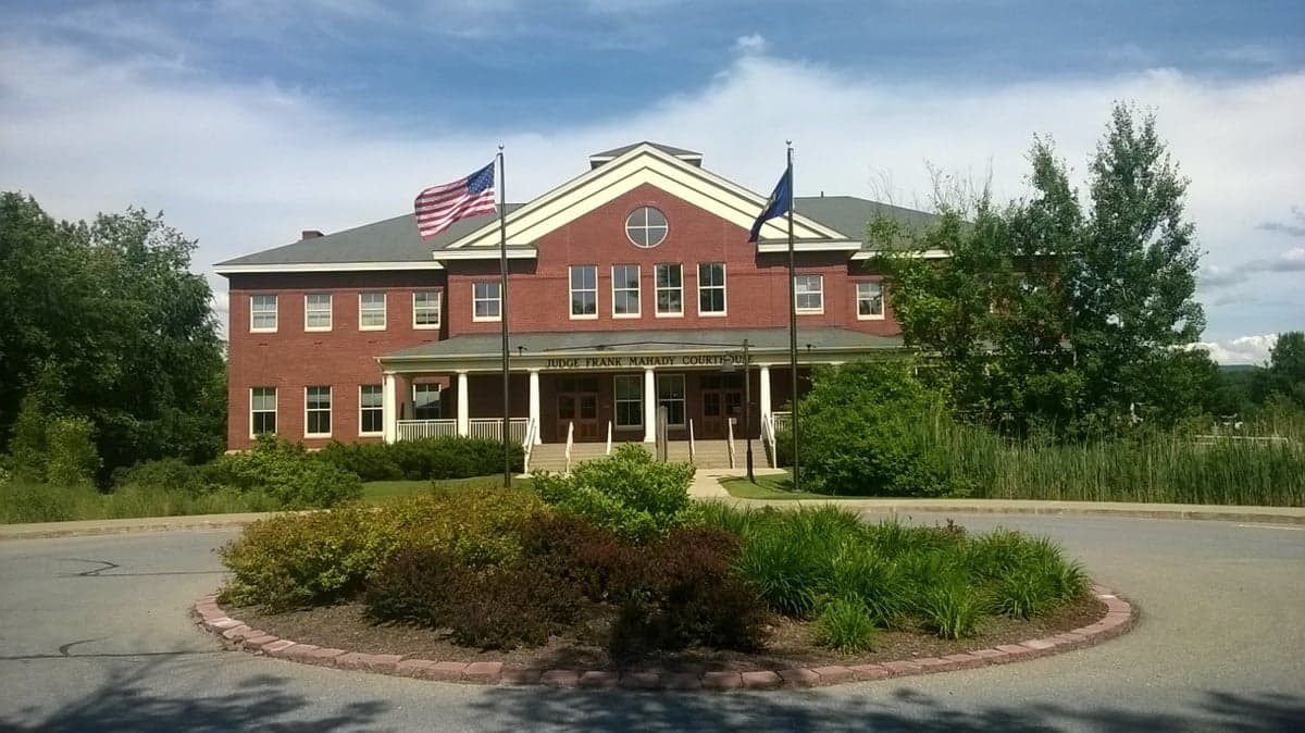
Photo: Wikipedia
Strategic Assessment of Addison County
Workable tactical position. Some exposure to population density or targets, but generally defensible in a crisis.
What does the Strategic Assessment tell us?
Our Strategic Assessment grades tactical survivability of an area. Major population centers, military targets, fallout zones, natural disasters, and border exposure all drive risk — lower exposure means a more defensible position in a crisis.
This is heavily inspired by Joel Skousen's Strategic Relocation book. Highly recommended you checkout the book ($)What does this tell us?
Our Strategic Assessment grades tactical survivability of an area. Major population centers, military targets, fallout zones, natural disasters, and border exposure all drive risk — lower exposure means a more defensible position in a crisis.
This is heavily inspired by Joel Skousen's Strategic Relocation book. Highly recommended you checkout the book ($)Strategic Pillars

Key Distances
Strategic Assessment Analysis
Addison County, Vermont, offers a compelling strategic profile for relocators prioritizing resilience and self-sufficiency, balancing the isolation of northern New England with practical access to essential services and markets. Its position between the Green Mountains and Lake Champlain provides natural defensibility and abundant resources, while its distance from major metropolitan targets and industrial corridors significantly reduces exposure to many man-made risks. For a conservative-leaning audience focused on disaster readiness, this region presents a strong combination of geographic advantage, resource abundance, and community stability, though it is not without specific vulnerabilities that require honest assessment.
Geographic position and natural advantages for long-term stability
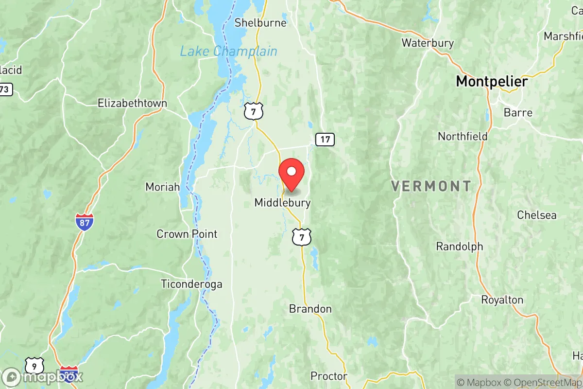
Addison County’s location is its primary strategic asset. Bounded by the Green Mountains to the east and Lake Champlain to the west, the county forms a natural basin that is both physically defensible and agriculturally rich. The Champlain Valley is one of Vermont’s most productive agricultural regions, with deep soils and a moderate microclimate that supports a longer growing season than much of the rest of the state. The county seat, Middlebury, sits at the heart of this valley, roughly 35 miles south of Burlington and 80 miles north of Albany, New York—close enough for supply runs or medical access, but far enough to avoid the immediate fallout zones of major population centers. The Green Mountain National Forest to the east offers a vast, sparsely populated buffer zone, while the lake provides a massive freshwater resource and a natural barrier to the west. This geography inherently limits the number of approach vectors for any large-scale disruption, a key consideration for defensibility. The county’s terrain also offers numerous microclimates and elevation bands, allowing for diversified agriculture and water catchment strategies that are less vulnerable to a single weather event.
Risks, exposures, and proximity to fallout-relevant landmarks
While Addison County is far from the highest-risk zones, it is not immune to threats. The most significant man-made risk comes from its proximity to Burlington International Airport and the Port of Burlington on Lake Champlain, both of which could be secondary targets in a major conflict. The Vermont Yankee nuclear power plant in Vernon, roughly 100 miles south, is decommissioned but still contains spent fuel on site, presenting a low-probability but high-consequence hazard if a catastrophic event occurred. More immediate risks are natural: the county lies in a seismically quiet region, but the Lake Champlain Seismic Zone has produced historical quakes up to magnitude 5.0, which could damage older infrastructure. Flooding is the most frequent natural threat, particularly along the Otter Creek and New Haven River corridors, which have seen major inundation events in 2011 (Tropical Storm Irene) and 2023. Winter storms can isolate rural areas for days, with power outages lasting a week or more in the Ripton and Lincoln hill towns. For a relocator, the key takeaway is that no major military bases, refineries, or nuclear weapons storage sites are within 50 miles, dramatically reducing the risk of direct fallout. The primary exposure is to regional supply chain disruptions and extended winter weather, not to blast or radiation zones.
Practical resilience for a relocator: food, water, energy, and defensibility
Addison County excels in practical, day-to-day resilience. The Champlain Valley is a breadbasket, with dozens of working farms producing dairy, vegetables, maple syrup, and meat. The Middlebury Natural Foods Co-op and multiple farm stands in towns like Bristol and Vergennes provide direct-to-consumer access to local food year-round. Water is abundant: Lake Champlain is a massive, unfiltered source, and the county’s numerous rivers and groundwater aquifers mean most rural properties can develop a well. The Lake Champlain Water District serves several towns, but a private well with a hand pump or solar-powered pump is a realistic upgrade for most homeowners. Energy resilience is mixed. Green Mountain Power has invested heavily in grid hardening and microgrids, but the county’s rural distribution lines are still vulnerable to ice storms. Solar is viable—the region averages 160-180 sunny days per year—and many homes already have wood stoves as a primary or backup heat source. Defensibility is high due to the terrain: the Green Mountain passes (e.g., Brandon Gap and Lincoln Gap) can be easily monitored or blocked, and the lake provides a natural western boundary. The county’s population density is low—roughly 37,000 people across 800 square miles—meaning that in a crisis, competition for resources would be less intense than in suburban or urban areas. However, the same isolation that provides security also means that emergency services response times can be 30-60 minutes in the more remote towns like Hancock or Granville, so a relocator must be prepared to be self-reliant for at least the first 72 hours, and ideally longer.
The overall strategic picture for Addison County is one of strong, but not absolute, resilience. It offers a rare combination of agricultural self-sufficiency, abundant fresh water, and natural defensibility, all while being far enough from major targets to avoid the worst of man-made disasters. The trade-offs are real: harsh winters, occasional flooding, and a slower pace of life that may frustrate those accustomed to urban convenience. For a conservative-leaning individual or family serious about preparedness, this county represents a solid, data-backed choice—not a utopia, but a place where the fundamentals of survival are within reach, and the community is small enough to foster real relationships and mutual aid. The key is to choose a specific location wisely: avoid the Otter Creek floodplain, invest in a backup heat source, and build a network with local farmers and tradespeople. Done right, Addison County can be a long-term anchor for a resilient, self-directed life.

* Values derived from national, state, county, city and local statistics and may differ in a specific area. Last updated: 2026-07-19T02:16:58.000Z
Narrative content on this page is AI-generated and may contain mistakes. Verify any details that matter before acting on them.
ReloMaps may earn a commission from affiliate links at no extra cost to you.

