Photo: Wikipedia
Strategic Assessment of Uvalde, TX
Meaningful friction. Expect exposure to either population pressure, blast zones, or natural disaster risk. Consider buying a retreat property.
What does the Strategic Assessment tell us?
Our Strategic Assessment grades tactical survivability of an area. Major population centers, military targets, fallout zones, natural disasters, and border exposure all drive risk — lower exposure means a more defensible position in a crisis.
This is heavily inspired by Joel Skousen's Strategic Relocation book. Highly recommended you checkout the book ($)What does this tell us?
Our Strategic Assessment grades tactical survivability of an area. Major population centers, military targets, fallout zones, natural disasters, and border exposure all drive risk — lower exposure means a more defensible position in a crisis.
This is heavily inspired by Joel Skousen's Strategic Relocation book. Highly recommended you checkout the book ($)Strategic Pillars

Key Distances
Regional Safe Places
Below is our recommended "safe zones" in Texas and the surrounding area based on our strategic heuristics. For most people, it's unrealistic to live in a “safe zone” full-time due to work, family or other personal reasons. They tend to be more rural. However, many of these areas are perfect for second homes and retreat properties that double as a vacation home or even a short-term rental.

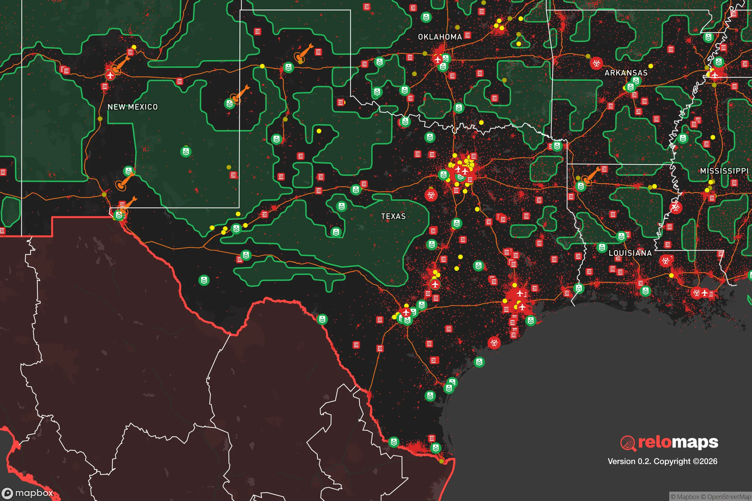


Important Note: For informational purposes only. This does not mean nothing bad ever happens in the green zones. Please use common sense. This is based on public data and modeled with AI. We tried to take a conservative approach but mistakes happen. We update this regularly as new information becomes available.
Solar Generator Recommendations
Backup power matters more here than in safer locations. We've picked three solar generators across budgets and capacity tiers — start with the budget unit if you only need a few essentials, or step up if you want to run a fridge and HVAC for days at a time.

Jackery Portable Power Station Explorer 300
Budget OptionPower on the Go: Weighing only 11 lbs, it's convenient to set up and store with book-sized foldable solar panels

BLUETTI Portable Power Station AC180
Designed for both indoor and outdoor scenarios, AC180 is highly capable as it has a robost capacity and continuous output power.

EF ECOFLOW DELTA Pro Ultra Power Station
Upgraded PickEcoFlow DELTA Pro Ultra is a whole-home energy system designed to grow with your family. Integrated with the Smart Home Panel 2, it scales to meet your evolving energy needs — keeping your home powered, intelligent, and secure through every stage of life.
We earn a commission, at no additional cost to you.
Strategic Assessment Analysis
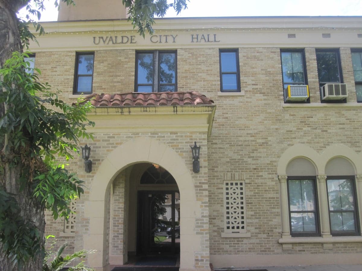
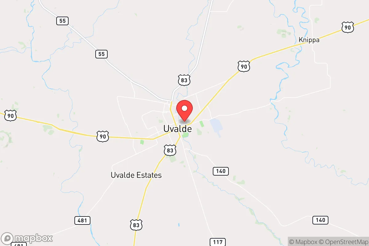
Uvalde, Texas, offers a compelling strategic position for those prioritizing resilience and self-sufficiency, sitting at a geographic crossroads that balances rural isolation with practical access to regional resources. Located roughly 80 miles west of San Antonio and 50 miles north of the U.S.-Mexico border, the city anchors a sparsely populated region of the Texas Hill Country, providing a natural buffer from the congestion and vulnerability of major metropolitan centers. While the 2022 tragedy at Robb Elementary has rightly drawn national attention to the community, a relocation-focused assessment must look beyond that event to evaluate the area’s long-term viability for disaster readiness, resource independence, and defensive living. The surrounding landscape—rolling hills, limestone bedrock, and the Nueces River—offers tangible advantages for those serious about preparedness, though proximity to border infrastructure and energy corridors introduces specific risks that require honest consideration.
Geographic position and natural advantages for self-sufficiency
Uvalde’s location in the southwestern edge of the Edwards Plateau gives it a distinct topographical advantage over flatter, more exposed parts of Texas. The area sits at an elevation of roughly 900 feet, with the Nueces River providing a reliable surface water source that is rare in much of the state. The region’s karst limestone geology supports natural springs and groundwater recharge, making private well development a viable option for those seeking water independence—a critical factor when municipal systems may fail during extended grid outages or drought. The surrounding terrain, a mix of juniper, live oak, and mesquite, offers natural cover and defensible positions, while the relatively low population density (about 15,000 in the city proper, with less than 30,000 in all of Uvalde County) means fewer neighbors to compete with for resources in a crisis. The climate is semi-arid, with hot summers and mild winters, reducing the risk of catastrophic winter storms like the 2021 Texas freeze that crippled Houston and Dallas, though Uvalde did experience rolling blackouts during that event. For a relocator, the ability to grow food is limited by rainfall (about 22 inches annually) and shallow soils, but the long growing season (March through November) allows for strategic use of rainwater catchment and raised-bed gardening. The area’s distance from major military installations—Fort Cavazos (formerly Hood) is 150 miles north, and Lackland Air Force Base in San Antonio is 80 miles east—reduces the likelihood of being caught in a direct conflict zone, though it is not immune to secondary effects.
Risks, exposures, and proximity to fallout-relevant landmarks
The most significant strategic vulnerability for Uvalde is its proximity to the U.S.-Mexico border, specifically the Eagle Pass and Del Rio sectors, both roughly 50 miles south. These are high-traffic corridors for cartel activity, human smuggling, and drug trafficking, which can spill over into border-adjacent communities. While Uvalde itself is not a border town, the risk of secondary effects—such as cartel violence reaching rural highways or border security operations creating instability—is higher than in interior Texas locations like Kerrville or Fredericksburg. Additionally, the city lies within 100 miles of the South Texas Nuclear Project (STP) near Bay City, a two-unit nuclear power plant that, while well-regulated, represents a potential fallout hazard in the event of a major accident or attack. Prevailing winds in the region are from the south-southeast, meaning a release from STP would likely carry toward the Gulf Coast rather than directly over Uvalde, but the risk is non-zero. The area is also crossed by major natural gas pipelines and high-voltage transmission lines feeding San Antonio and the Rio Grande Valley, making it a potential target for infrastructure sabotage during a broader conflict. On the natural disaster front, Uvalde is in a low-risk zone for hurricanes (200 miles inland), but flash flooding from the Nueces River and its tributaries is a real concern during heavy rain events—the 1998 flood caused significant damage. Wildfire risk is moderate, with the juniper-heavy brush providing ample fuel during dry spells, though the lack of dense forest reduces the catastrophic fire potential seen in California or Colorado. For a relocator, the key takeaway is that Uvalde’s risks are primarily man-made and border-related, not natural, and can be mitigated through strategic property selection and community awareness.
Practical resilience for a relocator: food, water, energy, and defensibility
For a family or individual serious about self-sufficiency, Uvalde offers a mixed but workable baseline. Water is the strongest asset: the Edwards-Trinity Aquifer system provides reliable groundwater at depths of 100-300 feet, and well drilling is common in the county, with permits issued by the Uvalde County Underground Water Conservation District. Rainwater harvesting is also feasible, with average annual rainfall supporting a 1,000-square-foot roof yielding about 13,000 gallons per year. Municipal water comes from the Nueces River and is treated at the Uvalde Water Treatment Plant, but a private well or cistern system provides true independence. Food production is more challenging: the growing season is long, but soil quality is poor (alkaline, rocky, low organic matter), requiring raised beds, imported topsoil, or hydroponic setups for serious gardening. Local agriculture is dominated by cattle ranching and hay production, with some small-scale vegetable farms near the river. Hunting is a viable protein source—white-tailed deer, feral hogs, and turkey are abundant on public and private land—but requires land access and licensing. Energy resilience is achievable: the area receives over 260 sunny days per year, making solar photovoltaic systems highly effective, though net metering policies with the local utility (Uvalde Electric, a municipal provider) are less favorable than in some Texas markets. Battery storage is recommended for grid independence, as the local grid is served by the Electric Reliability Council of Texas (ERCOT), which has a history of reliability issues. Propane is widely available for backup heating and cooking, and wood-burning stoves are practical given the abundant juniper and oak. Defensibility is a standout feature: the rural landscape allows for properties with long sightlines, limited access points, and natural barriers like creek beds and hilltops. The local law enforcement presence is modest—the Uvalde Police Department has about 40 officers, and the county sheriff’s office covers a vast area—so personal security planning is essential. The community is tight-knit and historically self-reliant, with a strong ranching culture that values preparedness, but newcomers should expect to build relationships slowly. Medical infrastructure is limited: Uvalde Memorial Hospital is a 25-bed critical access facility, and serious trauma cases require a 90-minute transport to San Antonio, making advanced first aid training and a stocked medical kit non-negotiable for a serious prepper.
Overall, Uvalde presents a viable but not effortless option for the strategic relocator. Its geographic isolation from major population centers and fallout-prone targets is a genuine advantage, and the water availability and defensible terrain are hard to find in more accessible parts of Texas. The trade-offs are real: border proximity introduces security concerns that require vigilance, the local economy is limited (ranching, agriculture, and a small retail sector), and the climate demands careful resource management. For a single individual or family willing to invest in well drilling, solar power, and soil improvement, Uvalde offers a solid foundation for long-term resilience without the extreme isolation of far West Texas or the Panhandle. The key is to approach it with eyes open—this is not a turnkey survival retreat, but a working community where preparedness is a lifestyle, not a hobby. Those who integrate into the local culture, secure their own water and energy, and maintain situational awareness will find Uvalde a strategically sound base for whatever comes next.

* Values derived from national, state, county, city and local statistics and may differ in a specific area. Last updated: 2026-10-23T21:24:08.000Z
Narrative content on this page is AI-generated and may contain mistakes. Verify any details that matter before acting on them.
ReloMaps may earn a commission from affiliate links at no extra cost to you.

