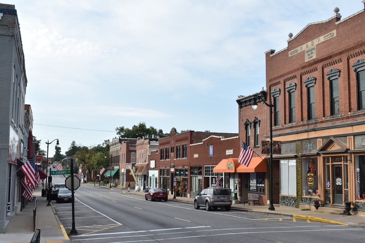
Photo: Wikipedia
Strategic Assessment of Troy, MO
Workable tactical position. Some exposure to population density or targets, but generally defensible in a crisis.
What does the Strategic Assessment tell us?
Our Strategic Assessment grades tactical survivability of an area. Major population centers, military targets, fallout zones, natural disasters, and border exposure all drive risk — lower exposure means a more defensible position in a crisis.
This is heavily inspired by Joel Skousen's Strategic Relocation book. Highly recommended you checkout the book ($)What does this tell us?
Our Strategic Assessment grades tactical survivability of an area. Major population centers, military targets, fallout zones, natural disasters, and border exposure all drive risk — lower exposure means a more defensible position in a crisis.
This is heavily inspired by Joel Skousen's Strategic Relocation book. Highly recommended you checkout the book ($)Strategic Pillars

Key Distances
Regional Safe Places
Below is our recommended "safe zones" in Missouri and the surrounding area based on our strategic heuristics. For most people, it's unrealistic to live in a “safe zone” full-time due to work, family or other personal reasons. They tend to be more rural. However, many of these areas are perfect for second homes and retreat properties that double as a vacation home or even a short-term rental.


Important Note: For informational purposes only. This does not mean nothing bad ever happens in the green zones. Please use common sense. This is based on public data and modeled with AI. We tried to take a conservative approach but mistakes happen. We update this regularly as new information becomes available.
Solar Generator Recommendations
Backup power matters more here than in safer locations. We've picked three solar generators across budgets and capacity tiers — start with the budget unit if you only need a few essentials, or step up if you want to run a fridge and HVAC for days at a time.
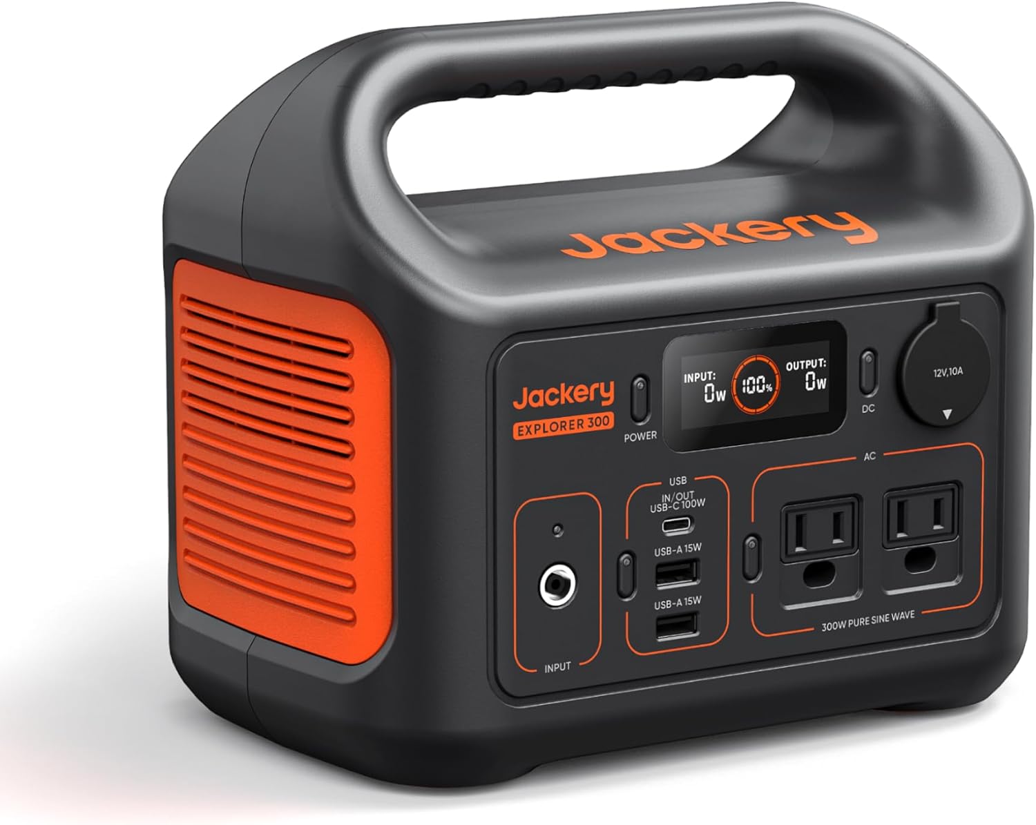
Jackery Portable Power Station Explorer 300
Budget OptionPower on the Go: Weighing only 11 lbs, it's convenient to set up and store with book-sized foldable solar panels

BLUETTI Portable Power Station AC180
Designed for both indoor and outdoor scenarios, AC180 is highly capable as it has a robost capacity and continuous output power.

EF ECOFLOW DELTA Pro Ultra Power Station
Upgraded PickEcoFlow DELTA Pro Ultra is a whole-home energy system designed to grow with your family. Integrated with the Smart Home Panel 2, it scales to meet your evolving energy needs — keeping your home powered, intelligent, and secure through every stage of life.
We earn a commission, at no additional cost to you.
Strategic Assessment Analysis
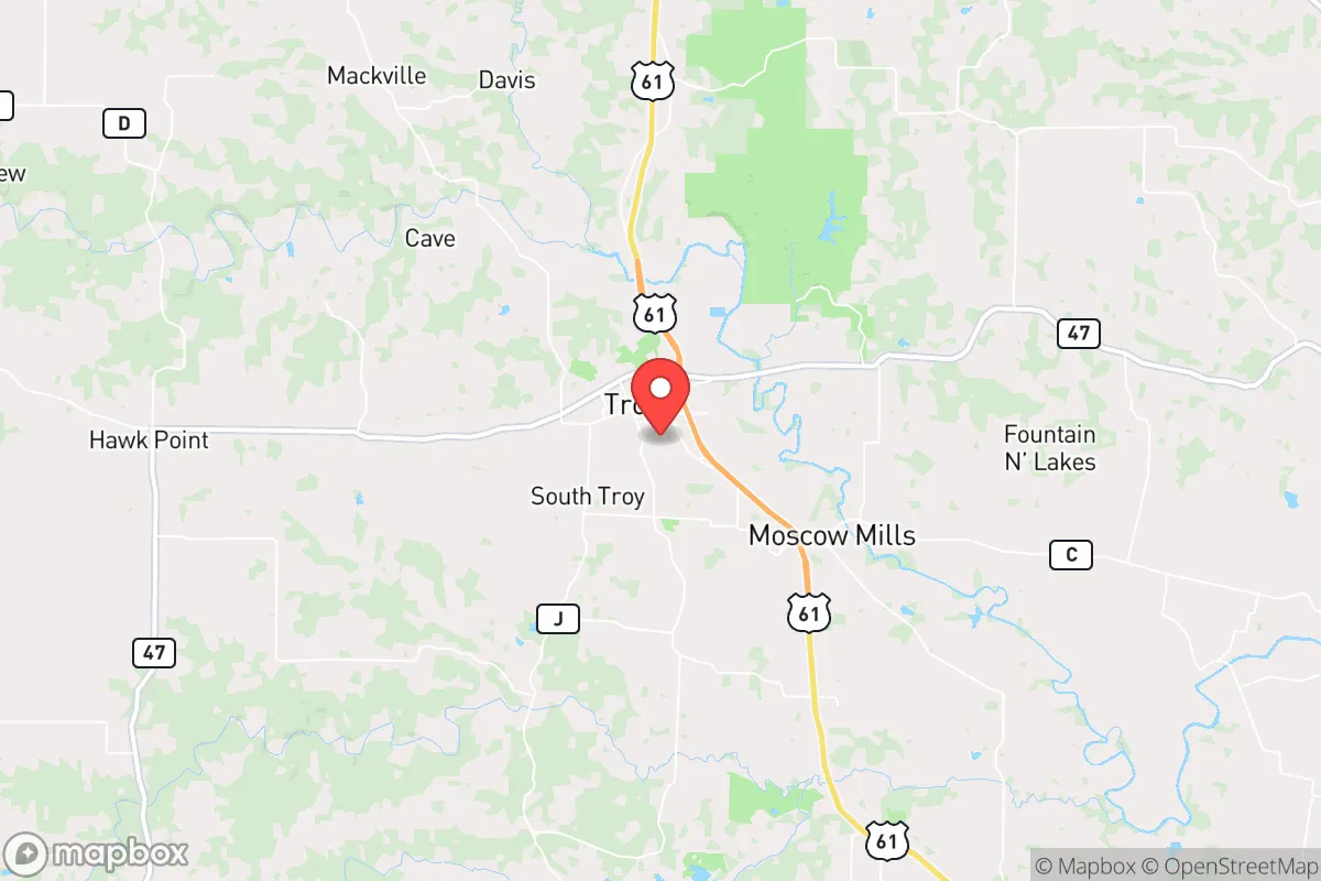
Troy, Missouri, occupies a strategic position that balances rural self-sufficiency with access to regional infrastructure, making it a noteworthy option for those prioritizing disaster readiness and long-term resilience. Located in Lincoln County, roughly 50 miles northwest of St. Louis, Troy sits far enough from major metropolitan centers to reduce exposure to urban cascading failures—such as supply chain disruptions or civil unrest—while still being within a practical distance for occasional resupply or medical care. The area’s resilience profile is shaped by its geography, natural resource availability, and relative distance from high-risk targets, though it is not without vulnerabilities that a relocator should weigh carefully.
Geographic position and natural advantages for long-term stability
Troy’s location in the Missouri River Valley provides a mix of fertile soil, moderate climate, and access to water, which are foundational for long-term self-sufficiency. The region sits on the western edge of the Ozark Plateau, offering rolling hills, limestone bluffs, and forested areas that can support hunting, foraging, and timber for construction or fuel. The nearby Mississippi and Missouri Rivers are major water sources, though Troy itself relies on groundwater and the Cuivre River for its municipal supply—a factor that matters for those planning independent water systems. The area’s elevation, averaging around 500 feet, places it above most floodplains, reducing the risk of catastrophic flooding compared to riverfront communities. Winters are cold but manageable, with average snowfall around 15 inches, and summers are humid but not extreme, allowing for year-round gardening and livestock management. The low population density of Lincoln County (roughly 60 people per square mile) means less competition for resources in a crisis, and the surrounding agricultural land—corn, soybeans, and hay—offers a buffer against food shortages. For a relocator, the key advantage is that Troy is not a choke point: it lacks major interstate highways (I-70 and I-64 are 20–30 minutes south) and is not a rail hub, which reduces the likelihood of being caught in evacuation traffic or targeted for infrastructure disruption.
Risks, exposures, and proximity to fallout-relevant landmarks
While Troy’s distance from St. Louis is a resilience plus, it is not immune to risks tied to that proximity. St. Louis is a major transportation and industrial hub, home to the Lambert–St. Louis International Airport, the nation’s third-largest inland port, and several chemical and manufacturing plants. In a scenario involving a nuclear event, electromagnetic pulse (EMP), or large-scale industrial accident, Troy lies within the moderate fallout zone for a ground burst targeting downtown St. Louis—roughly 50 miles downwind, which could mean measurable but survivable contamination depending on wind patterns. The nearby Callaway Nuclear Plant (about 40 miles southwest) is another consideration; while its safety record is solid, a worst-case release could affect the area. Natural risks are more immediate: the New Madrid Seismic Zone, located about 150 miles south, poses a real earthquake threat. A major quake (magnitude 7.0 or higher) could cause ground shaking, liquefaction in low-lying areas, and damage to older brick homes in Troy’s historic district. Tornadoes are a seasonal hazard—Lincoln County averages 12 tornado warnings per year—but the area’s hilly terrain offers some natural sheltering options. Flooding is localized, primarily along the Cuivre River and smaller creeks, so choosing a home on higher ground is a practical step. The biggest man-made risk is the proximity to I-70 and I-64, which could become evacuation corridors during a crisis, drawing transient populations into the area. Troy’s position as a county seat also means it hosts government buildings and a small hospital, which could become targets of opportunity in a breakdown of order.
Practical resilience for a relocator: food, water, energy, and defensibility
For someone serious about self-sufficiency, Troy offers a solid baseline but requires deliberate preparation. Food production is viable: the growing season runs from April to October, and the soil—loam over clay—supports vegetables, fruit trees, and small grains. Local farmers’ markets and co-ops (like the Troy Farmers Market) provide access to seeds, starter plants, and livestock, though the area is not a major hub for bulk grain storage. Hunting is legal on private land with permission, with deer, turkey, and small game abundant in the surrounding Mark Twain National Forest (about 30 minutes south). Water access is the strongest asset: the Cuivre River and numerous creeks run year-round, and groundwater is generally shallow (50–100 feet), making well drilling affordable. However, municipal water treatment could fail during a prolonged power outage, so a backup well pump (hand or solar) and rainwater catchment are wise investments. Energy resilience is a mixed bag. Troy is served by Ameren Missouri, which has a reliable grid but is vulnerable to ice storms and tornado damage. Solar potential is moderate—the area averages 4.5 peak sun hours per day—and many rural properties already have propane tanks for heating and cooking. Wood stoves are common, and firewood is plentiful from local hardwood forests. Defensibility depends on property choice. The town itself is compact (population ~12,000) with a grid street layout, which is not ideal for perimeter defense. Better options are the surrounding unincorporated areas—rural parcels with tree lines, long driveways, and natural barriers like creeks or bluffs. The local law enforcement presence is modest (Lincoln County Sheriff’s Office has about 30 deputies), so a relocator should plan for self-defense and community mutual aid. The nearest National Guard armory is in Warrenton (15 miles west), which could be a stabilizing or complicating factor depending on the scenario.
Overall, Troy presents a balanced strategic picture for a relocator focused on resilience. Its strengths lie in moderate isolation, abundant natural resources, and a low-key agricultural economy that would likely hold up better than suburban or urban alternatives during a prolonged disruption. The weaknesses are real but manageable: proximity to St. Louis introduces some fallout and refugee risk, and the area’s infrastructure is not hardened against earthquakes or EMP. For a family or individual willing to invest in off-grid water, solar backup, and a defensible rural property, Troy offers a credible foundation for long-term preparedness without the extreme isolation of more remote locations. The key is to avoid the town center and instead target land along the Cuivre River or near the Ozark foothills, where water, wood, and seclusion align. In a world where resilience often means balancing access with security, Troy earns a solid B+—not a fortress, but a viable base camp for those who plan ahead.

* Values derived from national, state, county, city and local statistics and may differ in a specific area. Last updated: 2026-11-05T20:26:50.000Z
Narrative content on this page is AI-generated and may contain mistakes. Verify any details that matter before acting on them.
ReloMaps may earn a commission from affiliate links at no extra cost to you.

