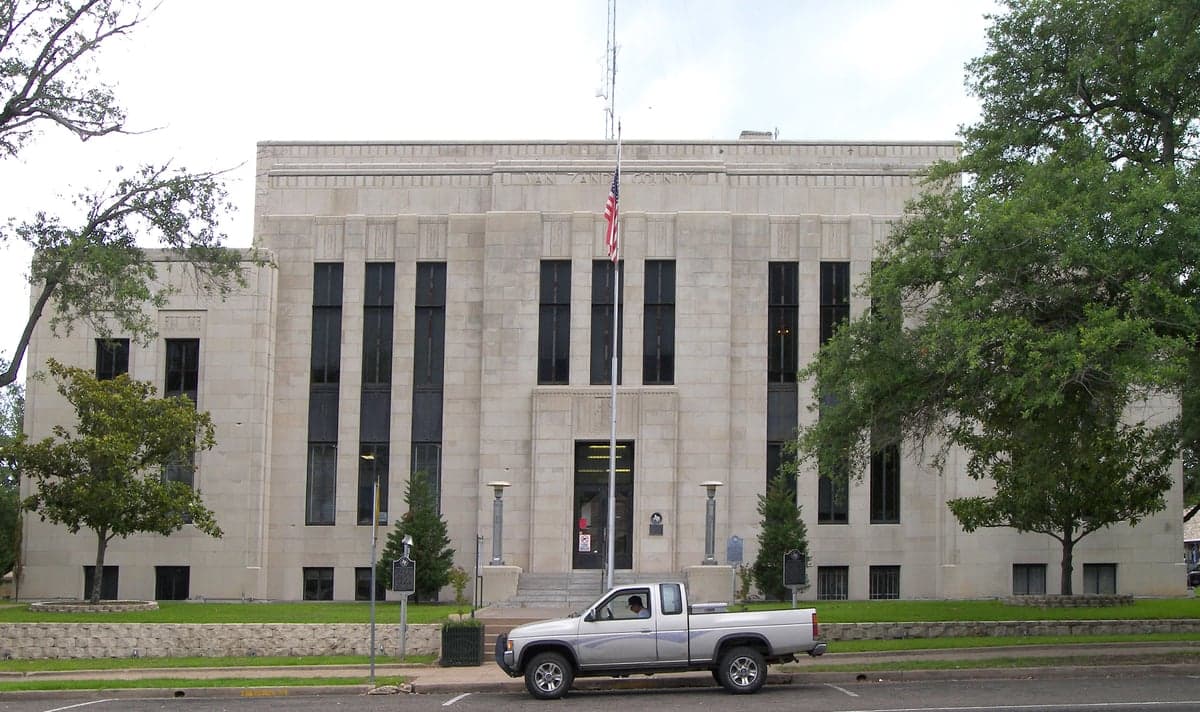
Photo: Wikipedia
Strategic Assessment of Van Zandt County
Workable tactical position. Some exposure to population density or targets, but generally defensible in a crisis.
What does the Strategic Assessment tell us?
Our Strategic Assessment grades tactical survivability of an area. Major population centers, military targets, fallout zones, natural disasters, and border exposure all drive risk — lower exposure means a more defensible position in a crisis.
This is heavily inspired by Joel Skousen's Strategic Relocation book. Highly recommended you checkout the book ($)What does this tell us?
Our Strategic Assessment grades tactical survivability of an area. Major population centers, military targets, fallout zones, natural disasters, and border exposure all drive risk — lower exposure means a more defensible position in a crisis.
This is heavily inspired by Joel Skousen's Strategic Relocation book. Highly recommended you checkout the book ($)Strategic Pillars

Key Distances
Strategic Assessment Analysis
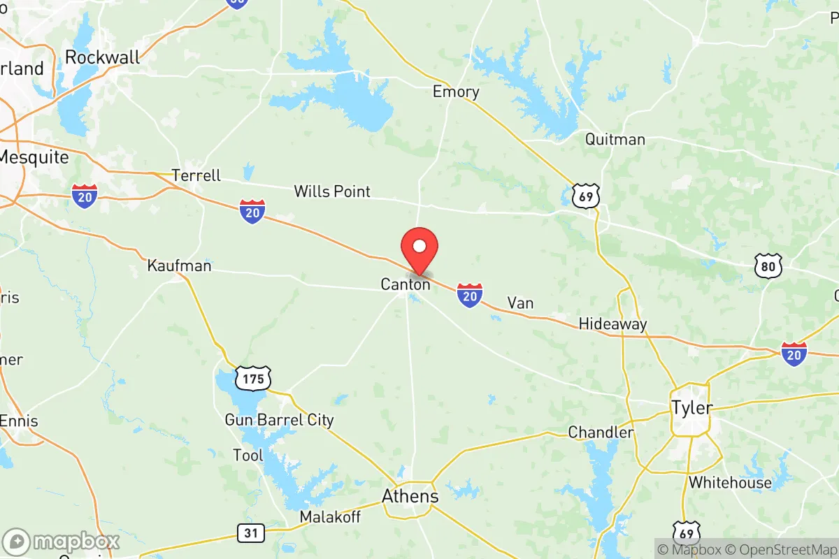
Van Zandt County, Texas, offers a compelling strategic position for relocation-minded individuals and families prioritizing resilience and self-sufficiency, balancing proximity to major metro resources with a genuinely rural buffer. Located roughly 60 miles east of Dallas and 100 miles west of Shreveport, the county sits outside the immediate blast and fallout zones of major population centers while remaining within a practical day-trip distance for supplies, medical care, or employment. The county seat of Canton anchors a region of small towns—including Wills Point, Grand Saline, Edgewood, and Van—that together form a network of communities with established infrastructure, local governance, and a culture of neighborly preparedness that appeals to conservative-leaning households.
Geographic position and natural advantages for self-sufficiency
Van Zandt County's location in the Piney Woods region provides tangible natural advantages for those seeking a resilient homestead. The area receives roughly 45 inches of annual rainfall, supporting abundant surface water in the form of creeks, ponds, and the Neches River along the county's eastern edge. This water availability is a critical factor for long-term self-sufficiency, as it reduces dependence on municipal systems and enables private well drilling, rainwater catchment, and small-scale irrigation. The terrain is gently rolling with mixed pine-hardwood forests, offering natural cover, timber for construction or fuel, and decent soil for gardening in the bottomlands. Unlike the arid west Texas plains or the flood-prone Gulf Coast, Van Zandt County sits at a moderate elevation (around 400-600 feet) with good drainage, minimizing flood risk while avoiding the extreme heat and water scarcity of more western counties. The county's position along Interstate 20 provides a major east-west corridor for logistics, but the majority of the land is rural, with a population density of roughly 50 people per square mile—low enough to offer genuine privacy and defensible space, but high enough to maintain local services and a tax base.
Risks, exposures, and proximity to fallout-relevant landmarks
No strategic assessment is complete without acknowledging the risks that come with Van Zandt County's location. The most significant exposure is its position relative to the Dallas-Fort Worth metroplex, a major population and economic hub that would be a high-priority target in a conflict scenario. Canton sits roughly 60 miles from downtown Dallas, placing it outside the likely blast radius of a nuclear weapon but well within the fallout plume zone depending on wind direction. The county is also within 100 miles of the Comanche Peak Nuclear Power Plant near Glen Rose, Texas, a potential target or accident site that could affect downwind areas. Additionally, Van Zandt County lies along the I-20 corridor, which connects to the Louisiana Chemical Corridor (including the Port of Lake Charles and multiple refineries) roughly 150 miles east—a secondary risk if those facilities were compromised. On the natural disaster front, the county is in a moderate tornado zone (EF2-EF3 events are possible but not frequent) and experiences occasional severe thunderstorms, hail, and ice storms in winter. Wildfire risk is low due to the region's humidity and rainfall, but drought years can elevate it. The key takeaway: Van Zandt County is not a remote survival bunker location, but it offers a reasonable balance of distance from primary targets while remaining accessible for those who need to maintain metro ties.
Practical resilience for a relocator: food, water, energy, and defensibility
For a relocator serious about self-sufficiency, Van Zandt County delivers on several practical fronts. Water is the strongest asset: the county sits atop the Carrizo-Wilcox Aquifer, one of Texas's largest groundwater sources, and surface water is plentiful. Most rural properties can drill a well at reasonable depth (100-300 feet), and rainwater catchment is viable given the rainfall patterns. Food production is feasible with a 200+ day growing season, though soil quality varies—bottomland along the Neches River and its tributaries is fertile, while upland areas may require amendment. Local agriculture is dominated by cattle, hay, and poultry operations, meaning livestock feed and starter animals are readily available. The Canton Farmers Market (one of the oldest in Texas) and local feed stores provide supply-chain redundancy. Energy resilience is mixed: the county is served by several electric cooperatives (e.g., Trinity Valley Electric Cooperative) that have decent reliability, but rural outages during storms are common. Solar potential is moderate (roughly 4.5-5 peak sun hours per day), and many residents supplement with generators or small solar arrays. Wood heating is practical given the forest cover, and propane delivery is widely available. Defensibility is a function of the county's layout: the terrain offers natural chokepoints along creek crossings and forested ridges, and the low population density means fewer people to compete with for resources in a crisis. The county's strong gun culture and high rate of private firearm ownership (consistent with East Texas norms) are a practical consideration for those prioritizing security. Local law enforcement is present but spread thin—the Van Zandt County Sheriff's Office covers 860 square miles with roughly 30 deputies, meaning self-reliance is the default expectation.
The overall strategic picture for Van Zandt County is one of balanced resilience: it offers genuine natural advantages in water, timber, and defensible space, while remaining close enough to Dallas and Tyler for medical care, supply runs, and employment. The county's conservative political culture (Van Zandt County voted +68 R in the 2024 presidential election) aligns with a self-reliance mindset, and local institutions like the Van Zandt County Emergency Management Office and the Canton Volunteer Fire Department provide a baseline of organized response. For a family or individual who wants to be prepared without going off-grid entirely, this area represents a practical middle ground—close enough to civilization to function, far enough to breathe. The key is to choose a property with good water access, avoid low-lying floodplains, and build relationships with neighbors before a crisis hits. In a state full of boom-and-bust suburbs and exposed ranchland, Van Zandt County holds its own as a strategic relocation option for the prepared-minded.

* Values derived from national, state, county, city and local statistics and may differ in a specific area. Last updated: 2026-10-21T02:54:28.000Z
Narrative content on this page is AI-generated and may contain mistakes. Verify any details that matter before acting on them.
ReloMaps may earn a commission from affiliate links at no extra cost to you.

