
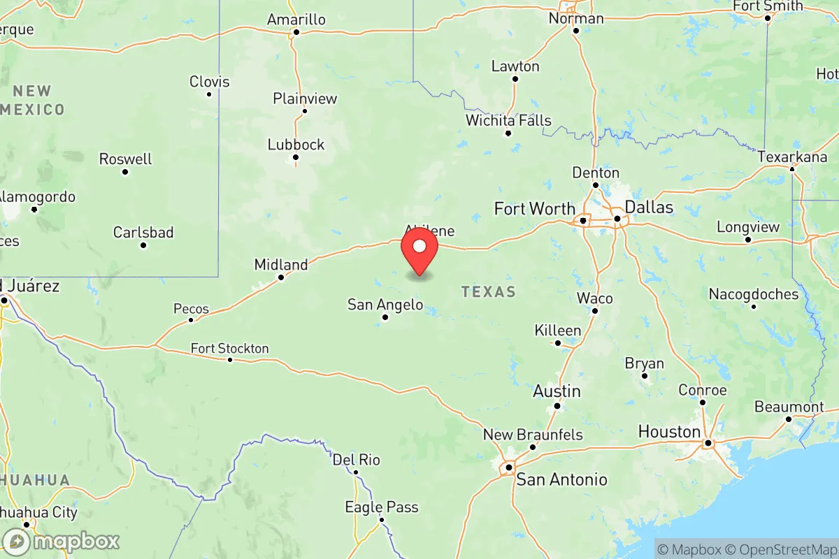
Photo: Wikipedia
Strategic Assessment of Texas
Workable tactical position. Some exposure to population density or targets, but generally defensible in a crisis.
What does the Strategic Assessment tell us?
Our Strategic Assessment grades tactical survivability of an area. Major population centers, military targets, fallout zones, natural disasters, and border exposure all drive risk — lower exposure means a more defensible position in a crisis.
This is heavily inspired by Joel Skousen's Strategic Relocation book. Highly recommended you checkout the book ($)What does this tell us?
Our Strategic Assessment grades tactical survivability of an area. Major population centers, military targets, fallout zones, natural disasters, and border exposure all drive risk — lower exposure means a more defensible position in a crisis.
This is heavily inspired by Joel Skousen's Strategic Relocation book. Highly recommended you checkout the book ($)Regional Safe Places
Below is our recommended "safe zones" in Texas and the surrounding area based on our strategic heuristics. For most people, it's unrealistic to live in a “safe zone” full-time due to work, family or other personal reasons. They tend to be more rural. However, many of these areas are perfect for second homes and retreat properties that double as a vacation home or even a short-term rental.

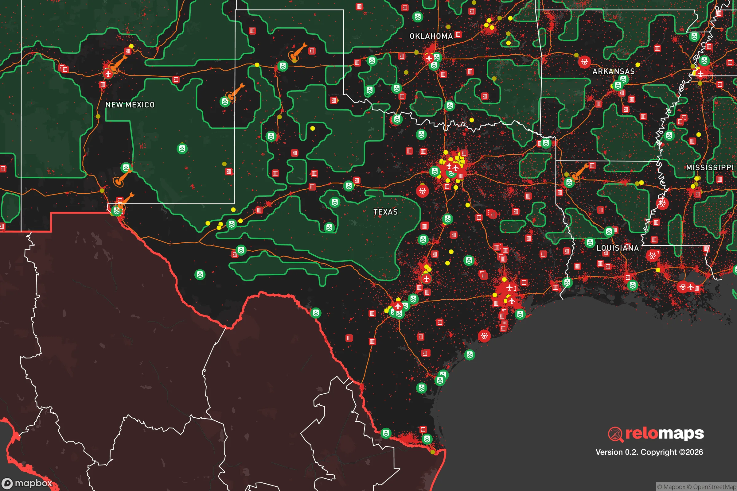


Important Note: For informational purposes only. This does not mean nothing bad ever happens in the green zones. Please use common sense. This is based on public data and modeled with AI. We tried to take a conservative approach but mistakes happen. We update this regularly as new information becomes available.
Solar Generator Recommendations
Backup power matters more here than in safer locations. We've picked three solar generators across budgets and capacity tiers — start with the budget unit if you only need a few essentials, or step up if you want to run a fridge and HVAC for days at a time.

Jackery Portable Power Station Explorer 300
Budget OptionPower on the Go: Weighing only 11 lbs, it's convenient to set up and store with book-sized foldable solar panels

BLUETTI Portable Power Station AC180
Designed for both indoor and outdoor scenarios, AC180 is highly capable as it has a robost capacity and continuous output power.

EF ECOFLOW DELTA Pro Ultra Power Station
Upgraded PickEcoFlow DELTA Pro Ultra is a whole-home energy system designed to grow with your family. Integrated with the Smart Home Panel 2, it scales to meet your evolving energy needs — keeping your home powered, intelligent, and secure through every stage of life.
We earn a commission, at no additional cost to you.
Strategic Assessment Analysis
Texas offers a unique strategic calculus for relocation-minded individuals and families weighing disaster readiness and self-sufficiency. The state’s sheer size—over 268,000 square miles—provides vast geographic buffers, but its resilience profile is deeply uneven: the sprawling, interconnected urban corridors of the Dallas-Fort Worth Metroplex, Houston, San Antonio, and Austin concentrate both population and critical infrastructure, while the rural High Plains, Hill Country, and far West Texas offer genuine escape velocity. For a conservative-leaning reader prioritizing preparedness, the key is understanding where Texas’s natural advantages end and where its exposure to natural and man-made risks begins.
Geographic position and natural advantages for self-sufficiency
Texas’s geographic diversity is its strongest resilience asset. The state spans multiple climate zones, from the arid Trans-Pecos region around El Paso and Marfa to the humid Piney Woods of East Texas. This variety means a relocator can choose a microclimate suited to off-grid living: the Edwards Plateau (Hill Country) offers limestone aquifers, moderate rainfall, and relatively low population density, while the Panhandle around Amarillo provides flat, open terrain with strong wind resources for small-scale energy generation. The state’s position in the central United States places it far from both seismic zones and major hurricane landfall areas (though the Gulf Coast is a notable exception). Critically, Texas sits atop the Ogallala Aquifer in the west and the Carrizo-Wilcox Aquifer in the east, providing deep groundwater reserves that are less vulnerable to surface contamination than surface reservoirs. The Rio Grande Valley in the south offers a year-round growing season, though water rights are contested. For a relocator, the Hill Country counties—Kerr, Gillespie, Bandera—strike a balance between defensible terrain (hills, canyons) and access to regional trade routes via Interstate 10 and U.S. 281.
Risks, exposures, and proximity to fallout-relevant landmarks
Texas’s risk profile is dominated by three categories: natural hazards, industrial concentration, and military infrastructure. The Gulf Coast from Corpus Christi to Beaumont is vulnerable to hurricanes and storm surge, with the Houston-Galveston area facing the highest combined risk of flooding and refinery-related hazards. The Houston Ship Channel and the surrounding petrochemical complex—the largest in the United States—contain over 200 chemical plants and refineries, including facilities in Texas City and Port Arthur. A major incident at this complex could produce toxic plumes affecting a 50-mile radius, making downwind counties like Brazoria and Galveston high-risk for relocation. Additionally, Texas hosts several strategic military installations: Fort Cavazos (formerly Fort Hood) near Killeen, Fort Bliss near El Paso, and Dyess Air Force Base near Abilene. These are potential targets in a conflict scenario, with Fort Cavazos being the largest armored post in the U.S. and a likely priority. The Pantex Plant near Amarillo, which assembles and disassembles nuclear weapons, is a singularly sensitive site—any incident there would render the Panhandle’s High Plains uninhabitable for an extended period. For a relocator, the safest zones are those at least 100 miles from these landmarks: the Big Bend region, the western Hill Country, and the sparsely populated areas of the Llano Estacado south of Lubbock.
Practical resilience for a relocator: food, water, energy, and defensibility
Texas’s practical resilience is a mixed bag. On the positive side, the state is an energy powerhouse: it produces more crude oil and natural gas than any other state, and its Electric Reliability Council of Texas (ERCOT) grid, while famously fragile during winter storms, can be supplemented with solar panels and battery storage in most areas. The Texas Panhandle and Permian Basin offer abundant wind and solar resources for off-grid setups. Water is the critical constraint: the Ogallala Aquifer is being depleted at unsustainable rates in the Panhandle, while the Hill Country’s Edwards Aquifer is more stable but subject to drought restrictions. For a relocator, securing a property with a private well and rainwater catchment is essential—counties like Real and Uvalde have permissive well-drilling regulations. Food self-sufficiency is feasible in the eastern half of the state, where annual rainfall exceeds 30 inches; the Blackland Prairie stretching from Dallas to San Antonio is some of the most fertile soil in the country. Defensibility varies: the Hill Country’s rugged terrain provides natural chokepoints, while the flat plains of West Texas offer long sightlines but little cover. For a family, a property with a creek or spring, a south-facing slope for solar, and at least 20 acres of arable land in a county with a population density under 20 people per square mile (e.g., Kinney or Edwards counties) represents a strong baseline for long-term resilience.
The overall strategic picture for Texas is one of high potential tempered by significant trade-offs. The state offers unmatched land availability, energy independence, and a legal environment that favors property rights and self-defense—factors that align with a conservative preparedness mindset. However, the concentration of critical infrastructure along the I-35 and I-10 corridors creates vulnerability zones that a careful relocator must map and avoid. The safest bets are the western Hill Country, the Big Bend region, and the southern High Plains away from Pantex and the Permian Basin’s industrial sprawl. For a single individual or family willing to invest in off-grid water and power systems, Texas provides one of the most viable long-term resilience options in the continental United States—provided they choose their county as carefully as they choose their home.

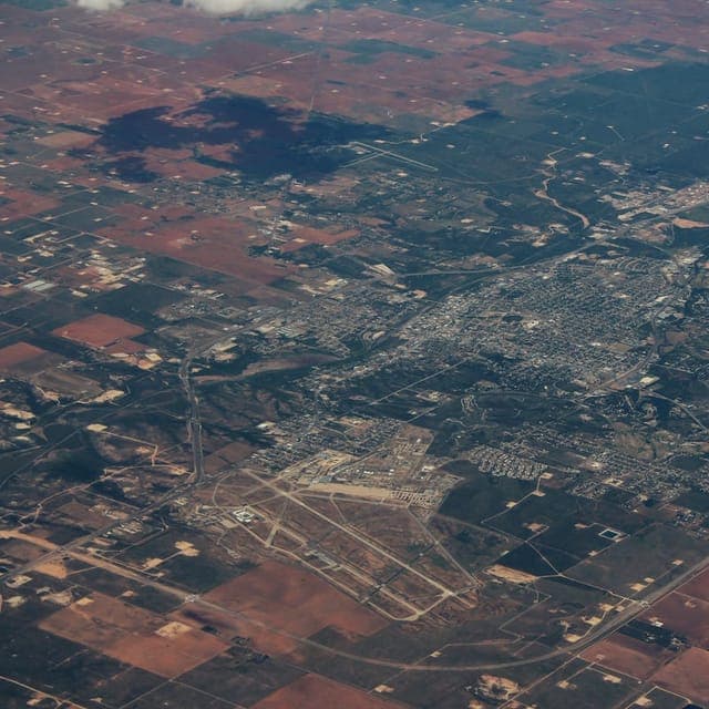
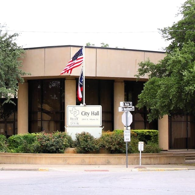
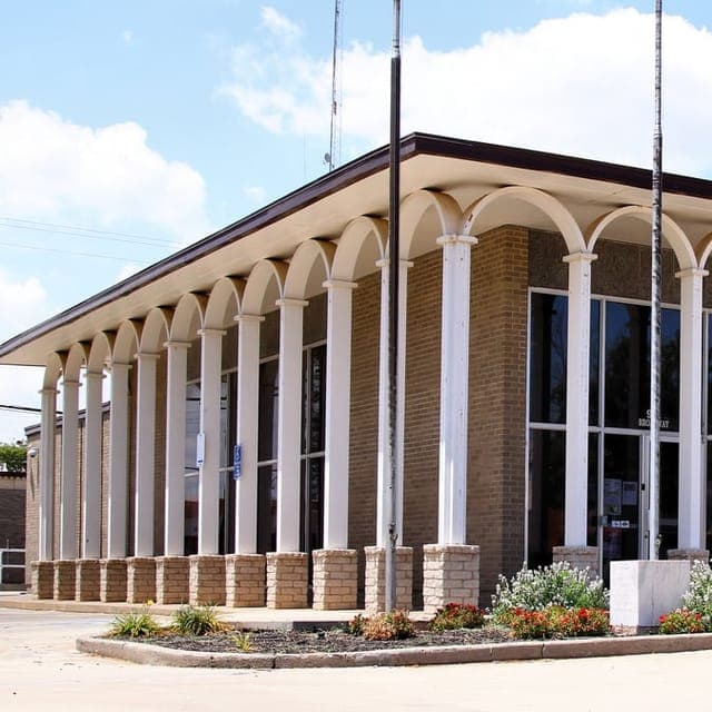
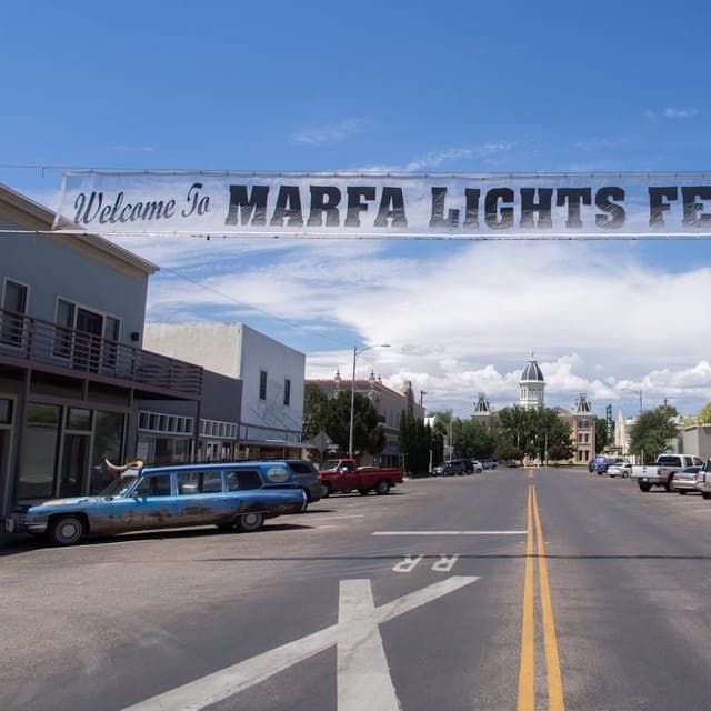
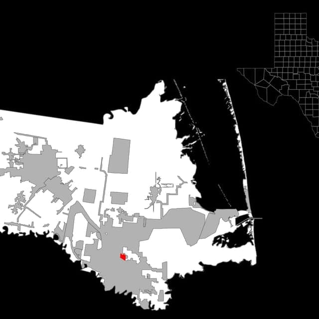
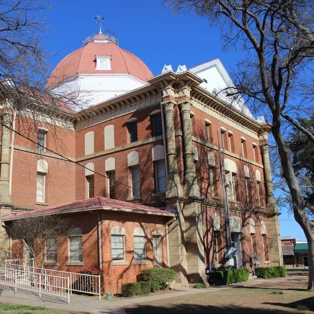
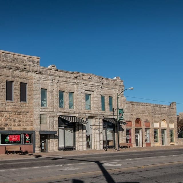
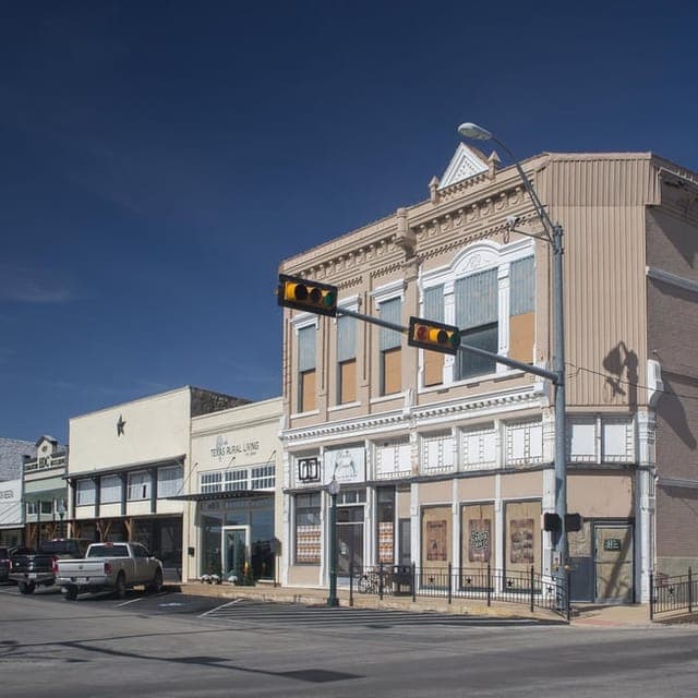
Top 10 Cities by Strategic Assessment in Texas
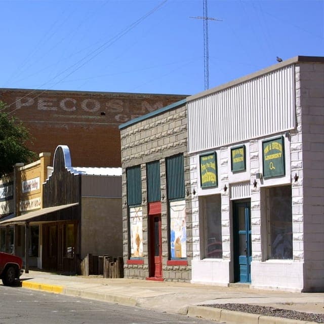
* Values derived from national, state, county, city and local statistics and may differ in a specific area. Last updated: 2026-09-08T17:24:20.000Z
Narrative content on this page is AI-generated and may contain mistakes. Verify any details that matter before acting on them.
ReloMaps may earn a commission from affiliate links at no extra cost to you.

