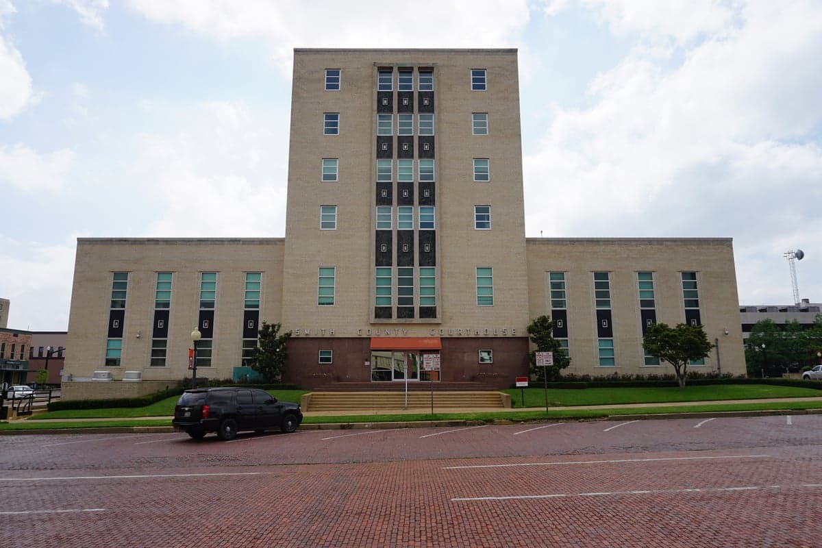
Photo: Wikipedia
Strategic Assessment of Smith County
Meaningful friction. Expect exposure to either population pressure, blast zones, or natural disaster risk. Consider buying a retreat property.
What does the Strategic Assessment tell us?
Our Strategic Assessment grades tactical survivability of an area. Major population centers, military targets, fallout zones, natural disasters, and border exposure all drive risk — lower exposure means a more defensible position in a crisis.
This is heavily inspired by Joel Skousen's Strategic Relocation book. Highly recommended you checkout the book ($)What does this tell us?
Our Strategic Assessment grades tactical survivability of an area. Major population centers, military targets, fallout zones, natural disasters, and border exposure all drive risk — lower exposure means a more defensible position in a crisis.
This is heavily inspired by Joel Skousen's Strategic Relocation book. Highly recommended you checkout the book ($)Strategic Pillars

Key Distances
Strategic Assessment Analysis
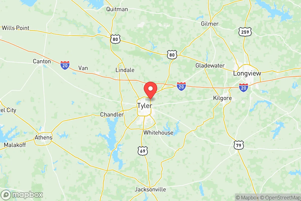
Smith County, Texas, anchored by the city of Tyler, offers a compelling mix of geographic isolation from major metropolitan targets and robust local infrastructure, making it a serious contender for relocation-minded individuals and families prioritizing resilience and self-sufficiency. The county sits roughly 90 miles east of Dallas and 100 miles north of Houston, placing it outside the immediate blast and fallout zones of those major population centers while still providing access to their resources when needed. This strategic buffer, combined with the area's strong agricultural base, growing energy sector, and relatively low population density outside the Tyler urban core, positions Smith County as a practical haven for those who want to be prepared without living off-grid.
Geographic position and natural advantages for disaster readiness
Smith County's location in the Piney Woods region of East Texas provides several inherent resilience advantages. The area is characterized by rolling hills, dense pine and hardwood forests, and numerous lakes and rivers, which offer natural resources and defensible terrain. The county sits atop the Carrizo-Wilcox Aquifer, one of Texas's most prolific groundwater sources, ensuring reliable water access even during drought conditions. The Sabine River forms the county's eastern border, and Lake Palestine—a 25,000-acre reservoir—lies partially within Smith County, providing both a recreational resource and a strategic water reserve. The terrain itself is a mixed blessing: the wooded hills offer cover and natural barriers, but they also create firebreaks and potential chokepoints that could complicate evacuation routes. The climate is humid subtropical, with hot summers and mild winters, which supports year-round agriculture but also brings the risk of severe thunderstorms, tornadoes, and occasional ice storms. Unlike the flat, exposed plains of West Texas or the hurricane-prone Gulf Coast, Smith County's inland, slightly elevated position reduces vulnerability to storm surge and offers more natural concealment.
Risks, exposures, and proximity to fallout-relevant landmarks
While Smith County avoids the direct blast radius of major cities, it is not without significant man-made risks that a preparedness-minded relocator must weigh. The most notable concern is the proximity to the Houston Ship Channel and its refinery corridor, roughly 100 miles south. A major incident at one of the nation's largest petrochemical complexes—including refineries in Baytown, Texas City, and Port Arthur—could generate a toxic plume or secondary fallout that, depending on prevailing winds, could drift into Smith County. Similarly, the Dallas-Fort Worth metroplex, with its multiple airports, defense contractors, and critical infrastructure, lies 90 miles west. A strategic strike on either Dallas or Houston would likely leave Smith County in a secondary contamination zone, not a primary target. Within the county itself, the Tyler Pounds Regional Airport is a modest facility but could become a secondary target or staging area. More locally, the Martin Lake Power Plant in neighboring Rusk County (about 30 miles southeast) is a coal-fired facility that, if damaged, could release hazardous materials. The county also hosts several natural gas processing plants and pipelines, particularly around the towns of Lindale and Whitehouse. On the military front, Fort Cavazos (formerly Fort Hood) is about 150 miles southwest—far enough to avoid direct effects but close enough that military convoys or displaced personnel could pass through Smith County during a crisis. The Red River Army Depot near Texarkana, about 120 miles north, is another potential source of secondary effects. Overall, Smith County's risk profile is moderate: it is not a primary target, but its location between two major metro areas and near energy infrastructure means it could face indirect consequences from a large-scale event.
Practical resilience for a relocator: food, water, energy, and defensibility
For someone serious about self-sufficiency, Smith County offers strong fundamentals. Water is the county's greatest asset: the Carrizo-Wilcox Aquifer provides abundant, high-quality groundwater, and many rural properties already have private wells. The county's numerous creeks, rivers, and lakes—including Lake Tyler, Lake Bellwood, and the aforementioned Lake Palestine—offer surface water sources, though treatment would be necessary. Food production is viable year-round, with a growing season of roughly 250 days. The county has a strong agricultural heritage, with local farms producing cattle, poultry, hay, vegetables, and fruit (Tyler is known as the "Rose Capital of America" for its rose-growing industry). Farmers' markets and local food networks are well-established in Tyler, Lindale, and Bullard. For those wanting to homestead, land prices remain reasonable compared to the Dallas or Houston suburbs, with 5-20 acre parcels available for $10,000-$20,000 per acre depending on proximity to Tyler. Energy resilience is mixed. The county is served by multiple power providers (including Oncor and SWEPCO), and the grid is part of the Texas Interconnection, which has proven vulnerable to extreme weather events (e.g., Winter Storm Uri in 2021). However, the area's abundant timber and agricultural waste make biomass heating and backup generation feasible. Solar potential is moderate—East Texas receives less sun than West Texas, but enough for a well-designed off-grid system. Natural gas is widely available in rural areas, and propane delivery is common. Defensibility is a key consideration. The county's wooded terrain and winding rural roads create natural chokepoints and limited sightlines, which can be an advantage for those with a prepared property. The population density is low outside Tyler (the county has about 230,000 people total, with roughly 110,000 in Tyler itself), meaning fewer people to compete with for resources in a crisis. However, the same terrain that offers cover also makes it harder to monitor approaches. The county's law enforcement presence is solid—the Smith County Sheriff's Office and Tyler Police Department are well-funded—but in a widespread emergency, response times in rural areas could stretch to 30 minutes or more. The local hospital system, anchored by UT Health Tyler and Christus Trinity Mother Frances, is robust for a city of its size, with two full-service hospitals and a Level II trauma center.
Overall, Smith County presents a balanced strategic picture for the relocation-minded individual or family. Its primary strength is its position as a secondary zone—close enough to major cities for supply runs and medical access, but far enough to avoid the worst of a direct strike or urban collapse. The water abundance, agricultural potential, and reasonable land costs make it one of the more practical options in Texas for those seeking a resilient lifestyle without extreme isolation. The main trade-offs are the moderate risk from petrochemical and energy infrastructure, the vulnerability of the Texas grid, and the fact that the county's wooded terrain, while offering cover, also complicates long-range visibility and evacuation. For a family willing to invest in a well-drilled well, solar panels, and a defensible property in the rural areas around Winona, Arp, or Noonday, Smith County offers a realistic path to preparedness that doesn't require leaving civilization entirely behind. It is not a bunker location, but it is a solid, livable base for those who want to be ready for a range of scenarios.

* Values derived from national, state, county, city and local statistics and may differ in a specific area. Last updated: 2026-06-20T14:34:31.000Z
Narrative content on this page is AI-generated and may contain mistakes. Verify any details that matter before acting on them.
ReloMaps may earn a commission from affiliate links at no extra cost to you.

