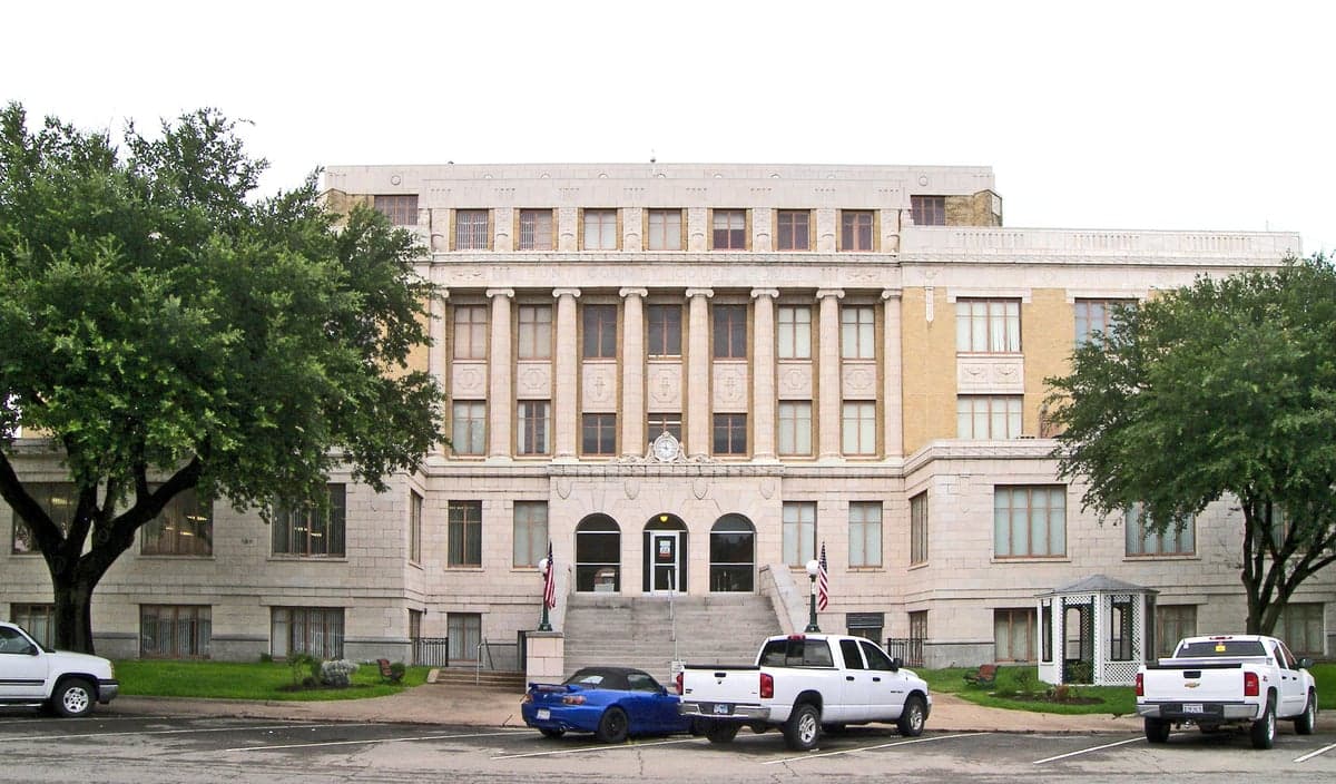
Photo: Wikipedia
Strategic Assessment of Hunt County
Meaningful friction. Expect exposure to either population pressure, blast zones, or natural disaster risk. Consider buying a retreat property.
What does the Strategic Assessment tell us?
Our Strategic Assessment grades tactical survivability of an area. Major population centers, military targets, fallout zones, natural disasters, and border exposure all drive risk — lower exposure means a more defensible position in a crisis.
This is heavily inspired by Joel Skousen's Strategic Relocation book. Highly recommended you checkout the book ($)What does this tell us?
Our Strategic Assessment grades tactical survivability of an area. Major population centers, military targets, fallout zones, natural disasters, and border exposure all drive risk — lower exposure means a more defensible position in a crisis.
This is heavily inspired by Joel Skousen's Strategic Relocation book. Highly recommended you checkout the book ($)Strategic Pillars

Key Distances
Strategic Assessment Analysis
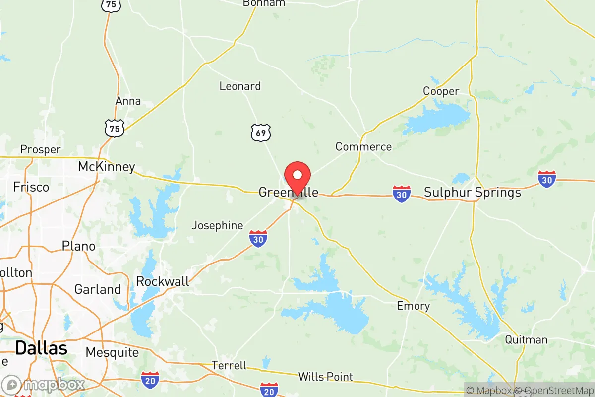
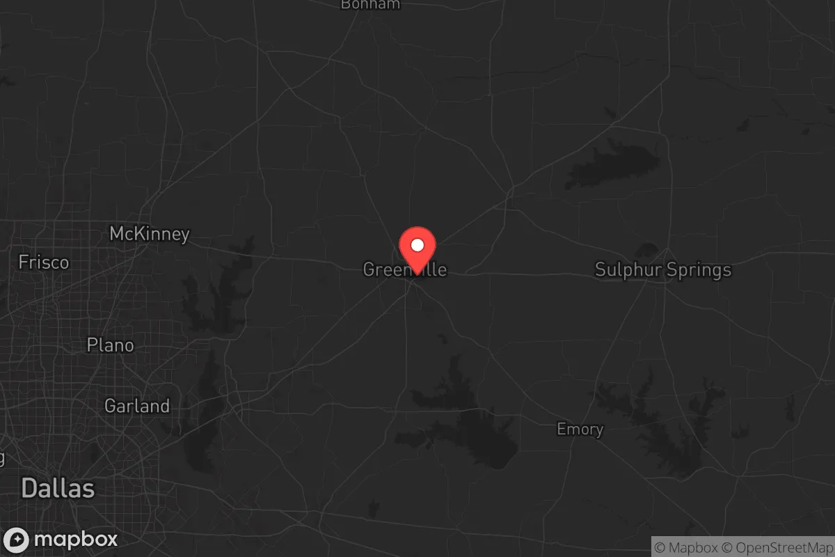
Hunt County, Texas, offers a strategic combination of rural self-sufficiency and measured proximity to the Dallas-Fort Worth metroplex that appeals to relocators prioritizing resilience and preparedness. With its county seat in Greenville, and key communities like Commerce, Quinlan, and West Tawakoni, the area sits roughly 45 miles northeast of downtown Dallas — close enough for access to major supply chains and medical centers, yet far enough to avoid the concentration of risk associated with a major metropolitan target. The county's economic base, anchored by agriculture, manufacturing, and education (Texas A&M University-Commerce), provides a level of economic independence that supports self-reliant living.
Geographic position and natural advantages for self-sufficiency
Hunt County's geography is defined by its position on the eastern edge of the Blackland Prairie, where fertile soils transition into the Post Oak Savannah. This provides residents with a dual advantage: productive agricultural land for food cultivation and a landscape that supports timber and wildlife for supplemental subsistence. The South Sulphur River meanders through the northern portion of the county, while Lake Tawakoni, straddling the southern border, is a major surface-water reservoir managed by the Sabine River Authority. Lake Tawakoni alone holds over 36,000 surface acres of water and serves as a reliable backup source for communities like Quinlan and West Tawakoni — a significant asset for long-term water security. The county averages roughly 40 inches of annual rainfall, making dry-well and rainwater catchment systems viable for households willing to invest in infrastructure. The terrain is generally rolling to flat, with no significant floodplains in the central portions, allowing for safe building sites well away from 100-year flood zones.
Exposure to natural and man-made risks in Hunt County
No location is without risk, and Hunt County has specific exposures that a strategic relocator should weigh carefully. Tornado risk is moderate, with the county lying inside the southern edge of “Tornado Alley” — historically, Greenville has experienced significant tornado events, including an EF4 in 1947 and a damaging EF3 in 2022. Annual severe weather season (March through June) brings a genuine need for a storm shelter or reinforced safe room. On the man-made risk side, the county's primary vulnerability is its proximity to Dallas-Fort Worth's industrial and logistics infrastructure. While Hunt County itself hosts relatively few high-value target assets — the LG Energy Solution lithium-ion battery plant in Commerce is the most notable — the metroplex's concentration of Fortune 500 headquarters, telecom hubs, and defense-related suppliers creates a moderate fallout-relevant risk within a 45-mile radius. That said, prevailing winds from the south and southwest mean that a plume event originating in Dallas would generally track northeast, away from most of Hunt County's population centers. The county also sits well away from major refining corridors (Houston is roughly 250 miles south) and interstate freight rail lines, reducing secondary risks from hazardous material spills. The presence of Camp Maxey, a Texas Army National Guard training site just north of the county line in Lamar County, adds a low-level military presence but is not a strategic target of national significance.
Practical resilience for a relocator: food, water, energy, and defensibility
For someone serious about disaster readiness and self-sufficiency, Hunt County delivers a pragmatic balance of assets and honest limitations. Food production is a genuine strength — the county's agricultural foundation includes row crops (corn, soybeans, wheat), cattle ranching, and a growing network of small-scale farms and farmers' markets in Greenville and Commerce. The Blackland Prairie soils, though heavy with clay, are nutrient-rich and can support annual vegetable gardens, orchards, and pasture for small livestock. Hunt County is also home to several feed and supply stores concentrated along Highway 69 and Interstate 30, meaning bulk feed, seed, and hardware are accessible within a 15-minute drive from most areas. Water availability is favorable relative to much of North Texas: Lake Tawakoni provides a surface-water buffer, and groundwater in the Trinity and Woodbine aquifers is generally reliable for residential wells in the southern half of the county, though well yields vary. Residents in Commerce and Greenville have municipal water drawn from surface sources, but private well installation is permitted and common in rural parcels. Energy independence is becoming more attainable: Hunt County has good solar insolation (averaging 5+ peak sun hours per day), and net metering is available through most local electric co-ops, including Hunt-Collin Electric Cooperative. Propane and biodiesel delivery services serve the rural areas, and wood-burning for heating is practical given the county's timber resources. Defensibility is a mixed picture — the county's terrain offers few natural chokepoints, but the low population density (roughly 100 persons per square mile outside the towns) and the network of county roads connecting to State Highways 11, 34, and 66 provide multiple egress routes away from potential metropolitan disruptions. The southern portion near Lake Tawakoni offers the most secluded parcels, with large-acre tracts and limited through traffic.
The overall strategic picture for Hunt County is one of genuine resilience with clearly defined limitations. For a relocator seeking a base that can function as a self-sufficient homestead while remaining within a reasonable distance of urban medical and supply resources, the county presents a compelling option. Its agricultural capacity, surface water access, and low target value outweigh the moderate tornado risk and the need for a personal storm shelter. The key trade-off is intentional distance from Dallas — far enough to avoid the worst fallout scenarios, but close enough that one must still plan for cascading infrastructure failures (fuel shortages, supply chain disruptions) during a regional crisis. Relocators who treat Hunt County as a dedicated long-term base with on-site water storage, a storm shelter, and a diversified food production system will find the geography largely cooperative. Those expecting a fortress-like defensive position or zero natural hazard will need to look further west or into the Texas Hill Country. Hunt County's honest value lies in its balance of productivity, access, and moderate isolation — a practical choice for the prepared family or individual who understands that no location is risk-free, but that some locations are simply better positioned to weather what comes.

* Values derived from national, state, county, city and local statistics and may differ in a specific area. Last updated: 2026-06-25T12:09:36.000Z
Narrative content on this page is AI-generated and may contain mistakes. Verify any details that matter before acting on them.
ReloMaps may earn a commission from affiliate links at no extra cost to you.

