Photo: Wikipedia
Strategic Assessment of Galveston County
Multiple tactical vulnerabilities. Population density, target proximity, or disaster risk are likely compounding. A retreat property and exit planning is required.
What does the Strategic Assessment tell us?
Our Strategic Assessment grades tactical survivability of an area. Major population centers, military targets, fallout zones, natural disasters, and border exposure all drive risk — lower exposure means a more defensible position in a crisis.
This is heavily inspired by Joel Skousen's Strategic Relocation book. Highly recommended you checkout the book ($)What does this tell us?
Our Strategic Assessment grades tactical survivability of an area. Major population centers, military targets, fallout zones, natural disasters, and border exposure all drive risk — lower exposure means a more defensible position in a crisis.
This is heavily inspired by Joel Skousen's Strategic Relocation book. Highly recommended you checkout the book ($)Strategic Pillars

Key Distances
Strategic Assessment Analysis
Galveston County offers a complex strategic picture for relocators prioritizing disaster readiness and self-sufficiency: its coastal position provides unique natural advantages in terms of water access and temperate climate, but its proximity to Houston’s massive refinery corridor and the Port of Texas City introduces significant man-made risk exposure. The county’s resilience profile is a study in contrasts—strong in terms of local food production and energy infrastructure, yet vulnerable to hurricane storm surge and industrial accidents. For the serious preparedness-minded individual or family, Galveston County demands a clear-eyed assessment of trade-offs rather than a simple thumbs-up or thumbs-down.
Geographic position and natural advantages for self-sufficiency
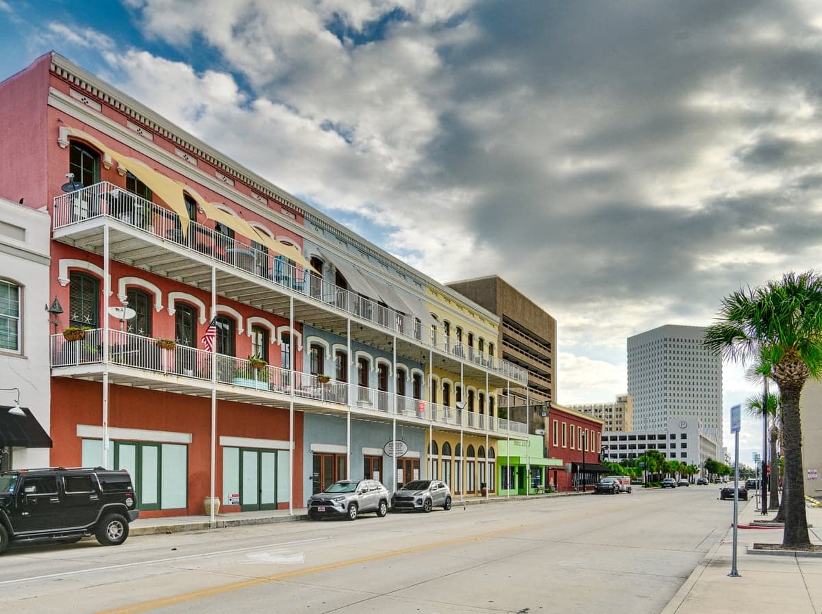
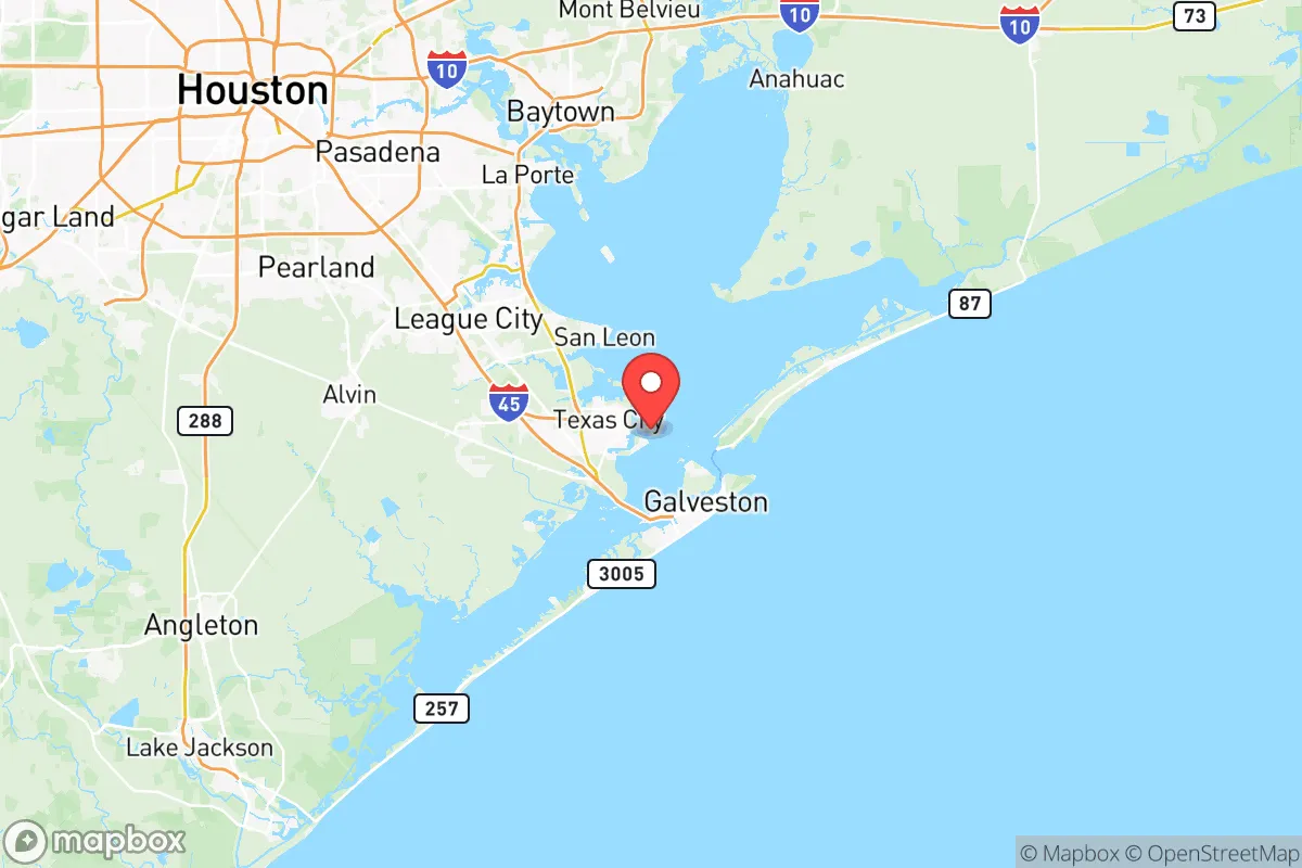
Galveston County sits on the upper Texas Gulf Coast, with the city of Galveston itself occupying a barrier island, while mainland communities like Texas City, La Marque, and League City stretch inland toward the Houston metro. The county’s defining natural feature is Galveston Bay, a massive estuary that provides abundant fishing, crabbing, and shrimping opportunities—a genuine food-security asset for those willing to learn coastal foraging and angling. The region’s subtropical climate means a year-round growing season for vegetables, with average lows rarely dipping below 40°F even in January, allowing for continuous food production in raised beds or greenhouses. The flat coastal plain also makes rainwater catchment relatively straightforward, though the high humidity and salt air require corrosion-resistant materials. For the relocator seeking defensible space, the barrier island itself is problematic—limited egress routes (primarily I-45 and the Bolivar Ferry) create choke points—but mainland communities like Santa Fe or Hitchcock offer more rural, spread-out layouts with better options for perimeter security and well water access. The county’s position also places it within a two-hour drive of multiple state parks and wildlife management areas (like the Brazoria National Wildlife Refuge), adding redundancy for hunting and foraging.
Risk exposure: hurricanes, industrial targets, and fallout proximity
The single greatest natural risk in Galveston County is hurricane storm surge. The entire island of Galveston sits at an average elevation of just 7 feet above sea level, and the 1900 Storm remains the deadliest natural disaster in U.S. history. The Galveston Seawall protects the island’s south side, but mainland communities like Texas City and La Marque are also vulnerable to surge from Galveston Bay. Hurricane Ike in 2008 demonstrated that even a Category 2 storm can flood 75% of the island and knock out power for weeks. For the preparedness-minded, this means any relocation to the island itself requires a serious evacuation plan and a vehicle capable of navigating flooded roads. More concerning for the strategic analyst is the man-made risk: Galveston County hosts the Port of Texas City, one of the largest petrochemical ports in the United States, with refineries and chemical plants lining the coast. The Texas City Refinery (operated by Marathon Petroleum) and the nearby BP-Husky refinery process over 500,000 barrels of oil per day. A major industrial accident—or a deliberate attack on these facilities—could release toxic clouds, cause fires, or trigger explosions that would affect downwind communities for miles. Additionally, the county lies within 50 miles of the Johnson Space Center in Clear Lake (Harris County), a potential high-value target in a conflict scenario. For fallout concerns, the prevailing winds in the region blow from the south and southeast, meaning that a nuclear event at the refineries or the Space Center would likely push contamination north and west—away from most of Galveston County’s population centers, but still a risk for those living near the ship channel.
Practical resilience: food, water, energy, and defensibility on the coast
For the relocator serious about self-sufficiency, Galveston County offers mixed but workable conditions. Food security is a genuine strength: the bay provides year-round seafood (speckled trout, redfish, blue crab, and shrimp), and the mainland has fertile soil for vegetable gardening. Farmers markets in League City and Santa Fe offer local produce, and the county has several u-pick farms and ranches for meat and eggs. However, the salt content in coastal soil can be challenging for traditional crops; raised beds with imported topsoil are recommended. Water security is more complicated. The county’s municipal water comes from surface sources (the Brazos River and local reservoirs) and is treated with chlorine and fluoride. Well water is available in rural areas but often has high salinity or sulfur content; testing is mandatory before drilling. Rainwater collection is viable given the 50+ inches of annual rainfall, but storage tanks must be UV-resistant and elevated to avoid flood contamination. Energy resilience is a bright spot: the county is home to the Texas City power plant and multiple natural gas facilities, meaning grid power is generally reliable outside of hurricane events. Solar panels are feasible (the area averages 204 sunny days per year), but must be rated for high wind loads and salt corrosion. Battery backup is essential, as grid outages during storms can last 1-3 weeks. Defensibility varies dramatically by location. The island of Galveston is a tourism hub with dense population and limited escape routes—hard to defend and easy to trap. Mainland communities like Santa Fe, Hitchcock, and Dickinson offer more rural acreage, lower population density, and multiple road networks for egress. The county’s law enforcement presence includes the Galveston County Sheriff’s Office and local police departments, but response times in rural areas can exceed 20 minutes. For the relocator, the strategic play is to buy land on the mainland, at least 10 miles inland from the coast, with a well and septic system already in place.
The overall strategic picture for Galveston County is one of high reward paired with high risk. The natural advantages—year-round growing season, abundant seafood, temperate climate, and proximity to multiple water sources—make it one of the more viable locations in Texas for long-term self-sufficiency. But those advantages come with serious exposure to hurricanes, industrial accidents, and the fallout risks of being downwind of Houston’s refinery corridor and the Johnson Space Center. For the relocator who is willing to invest in flood-proofing, build a well and solar system, and maintain a robust evacuation plan, Galveston County can work as a base of operations. For those seeking a low-maintenance, low-risk retreat, the county’s coastal vulnerabilities and industrial neighbors likely outweigh its benefits. The smart move is to focus on mainland communities like Santa Fe or Hitchcock, avoid the island entirely, and treat the bay as a resource rather than a residence. In short: Galveston County is a place for the prepared, not the passive.

* Values derived from national, state, county, city and local statistics and may differ in a specific area. Last updated: 2026-06-15T09:47:41.000Z
Narrative content on this page is AI-generated and may contain mistakes. Verify any details that matter before acting on them.
ReloMaps may earn a commission from affiliate links at no extra cost to you.

