
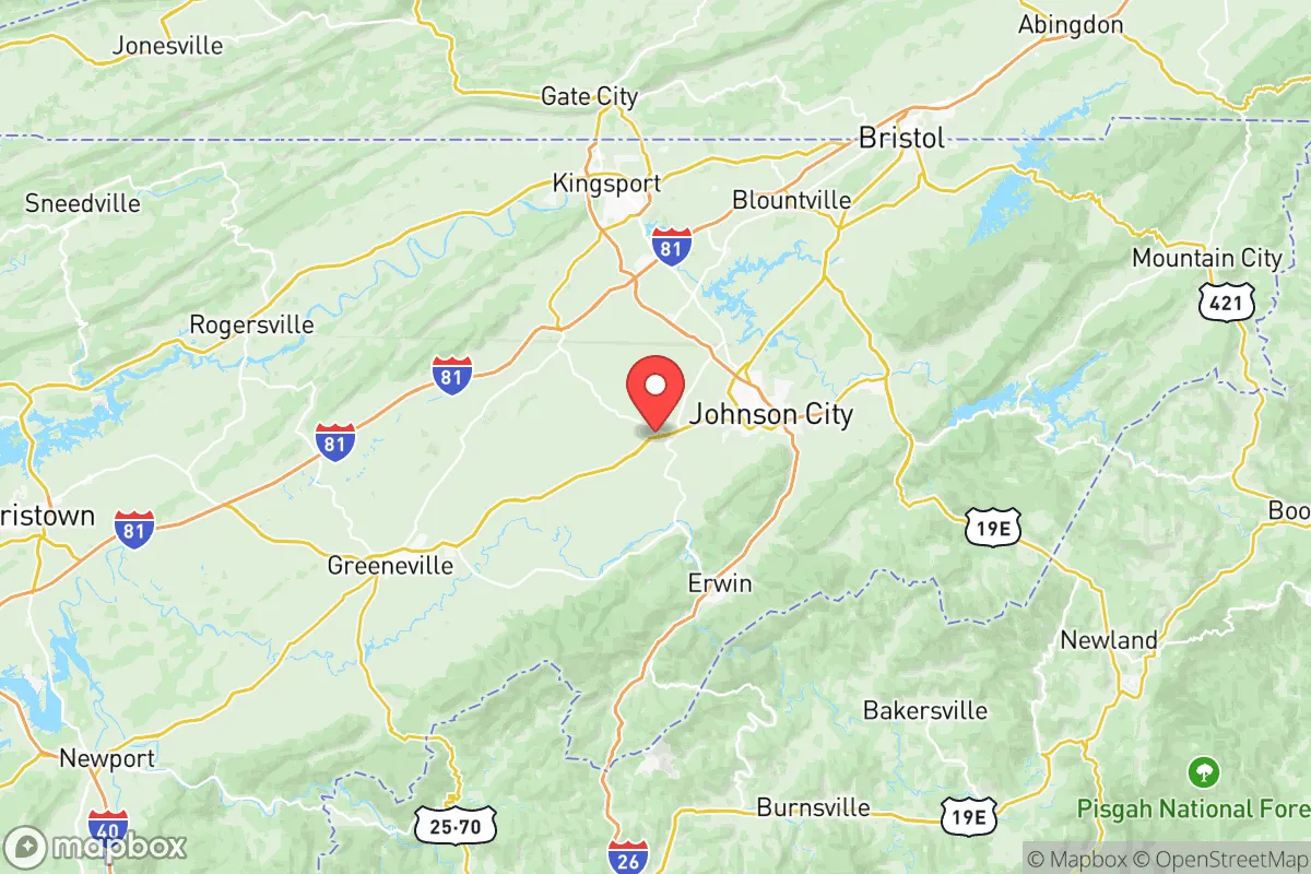
Photo: Wikipedia
Strategic Assessment of Washington County
Workable tactical position. Some exposure to population density or targets, but generally defensible in a crisis.
What does the Strategic Assessment tell us?
Our Strategic Assessment grades tactical survivability of an area. Major population centers, military targets, fallout zones, natural disasters, and border exposure all drive risk — lower exposure means a more defensible position in a crisis.
This is heavily inspired by Joel Skousen's Strategic Relocation book. Highly recommended you checkout the book ($)What does this tell us?
Our Strategic Assessment grades tactical survivability of an area. Major population centers, military targets, fallout zones, natural disasters, and border exposure all drive risk — lower exposure means a more defensible position in a crisis.
This is heavily inspired by Joel Skousen's Strategic Relocation book. Highly recommended you checkout the book ($)Strategic Pillars

Key Distances
Strategic Assessment Analysis
Washington County, Tennessee offers a compelling mix of geographic resilience and practical self-sufficiency that appeals to relocation-minded readers prioritizing disaster readiness. Anchored by the city of Johnson City and flanked by the towns of Jonesborough and Gray, the county sits in a strategic pocket of the Appalachian highlands that provides natural buffers against many large-scale threats. While not immune to risks, its position along the I-81 corridor and its distance from major metropolitan targets make it a serious contender for those evaluating long-term security and preparedness.
Geographic position and natural defensive advantages in the Appalachian highlands
Washington County occupies a transitional zone where the Blue Ridge Mountains meet the Tennessee Valley, giving it a mix of ridgeline elevation and fertile valley floor. The county's terrain — particularly around the Cherokee National Forest to the east — provides natural chokepoints and defensible positions that would complicate any large-scale movement through the area. Johnson City sits at roughly 1,600 feet elevation, which places it above the smog and flood risks common to lower-lying areas. The surrounding mountains also act as a partial shield against hurricane-spawned wind events moving inland from the Gulf, though the region still sees occasional severe thunderstorms. The Nolichucky River and Watauga River systems run through the county, offering reliable surface water sources that are less vulnerable to drought than flatter agricultural regions farther west.
Risks, exposures, and proximity to fallout-relevant landmarks
Washington County's primary man-made risk comes from its position roughly 90 miles northeast of the Oak Ridge National Laboratory complex, a major nuclear research and weapons-related facility that could be a target in a conflict scenario. The county also lies within 100 miles of the Tennessee Valley Authority's Browns Ferry Nuclear Plant in Alabama and the Watts Bar Nuclear Plant near Spring City. While these distances provide meaningful buffer — prevailing winds generally carry fallout away from the county — they are not negligible. On the natural hazard side, the region faces moderate earthquake risk from the East Tennessee Seismic Zone, which produces small tremors regularly but rarely damaging quakes. Flooding along the Nolichucky River near Jonesborough and Gray is the most tangible local threat, with several 100-year flood events recorded since 2000. The county has no major petrochemical refineries or ports, which reduces its attractiveness as a secondary target.
Practical resilience for a relocator: food, water, energy, and defensibility
Washington County scores well on practical self-sufficiency metrics. The agricultural base is strong — Washington County ranks in the top third of Tennessee counties for farmland, with significant poultry, cattle, and produce operations centered around Jonesborough and the rural areas south of Johnson City. The county's water supply is managed by the Johnson City Water and Sewer Services, drawing primarily from the Watauga River and groundwater wells, with backup interconnections to surrounding systems. For off-grid energy, the region's forested hillsides provide ample firewood, and solar potential is moderate — the area averages about 4.5 peak sun hours per day, workable but not ideal. The mountainous terrain around the Cherokee National Forest offers numerous remote homesteading parcels that are difficult to access by road, providing natural defensibility. The local population density is low enough outside the Johnson City urban core that a relocator with 10-20 acres can achieve meaningful separation from neighbors while still being within 30 minutes of medical facilities at Johnson City Medical Center.
Overall, Washington County presents a balanced strategic picture for the disaster-conscious relocator. Its primary weaknesses — proximity to Oak Ridge and moderate seismic activity — are manageable with basic planning and awareness. Its strengths — reliable water, productive farmland, defensible terrain, and distance from major population centers like Nashville, Knoxville, and Atlanta — make it one of the more viable options in the eastern Tennessee region for those serious about long-term preparedness. The county's mix of small-town infrastructure and rural access gives a relocator the ability to build a self-sufficient lifestyle without complete isolation from supply chains and medical care.

* Values derived from national, state, county, city and local statistics and may differ in a specific area. Last updated: 2026-07-12T03:40:16.000Z
Narrative content on this page is AI-generated and may contain mistakes. Verify any details that matter before acting on them.
ReloMaps may earn a commission from affiliate links at no extra cost to you.

