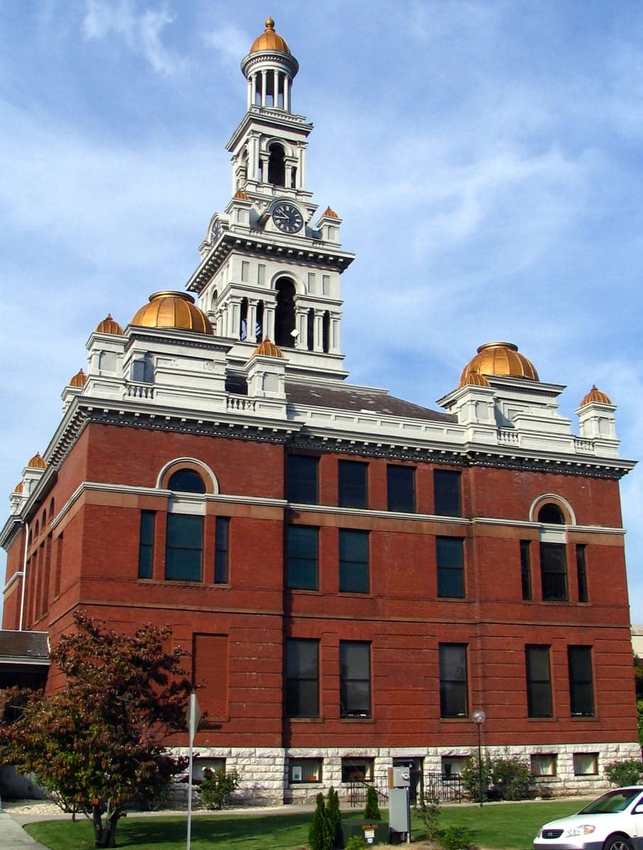
Photo: Wikipedia
Strategic Assessment of Sevier County
Workable tactical position. Some exposure to population density or targets, but generally defensible in a crisis.
What does the Strategic Assessment tell us?
Our Strategic Assessment grades tactical survivability of an area. Major population centers, military targets, fallout zones, natural disasters, and border exposure all drive risk — lower exposure means a more defensible position in a crisis.
This is heavily inspired by Joel Skousen's Strategic Relocation book. Highly recommended you checkout the book ($)What does this tell us?
Our Strategic Assessment grades tactical survivability of an area. Major population centers, military targets, fallout zones, natural disasters, and border exposure all drive risk — lower exposure means a more defensible position in a crisis.
This is heavily inspired by Joel Skousen's Strategic Relocation book. Highly recommended you checkout the book ($)Strategic Pillars

Key Distances
Strategic Assessment Analysis
Sevier County, Tennessee, occupies a unique strategic position in the southeastern United States, combining the natural fortress of the Great Smoky Mountains with proximity to the economic and logistical corridors of Knoxville and the I-40/I-81 crossroads. For a relocator prioritizing disaster readiness and self-sufficiency, the county offers a blend of geographic insulation and practical access to resources that is rare in the eastern half of the country. The key trade-off is between the county's inherent defensibility and its exposure to the risks that come with being a top-tier tourism destination—namely, infrastructure strain, supply chain dependencies, and a single-industry economy that could become a liability in a prolonged crisis.
Geographic position and natural defensive advantages
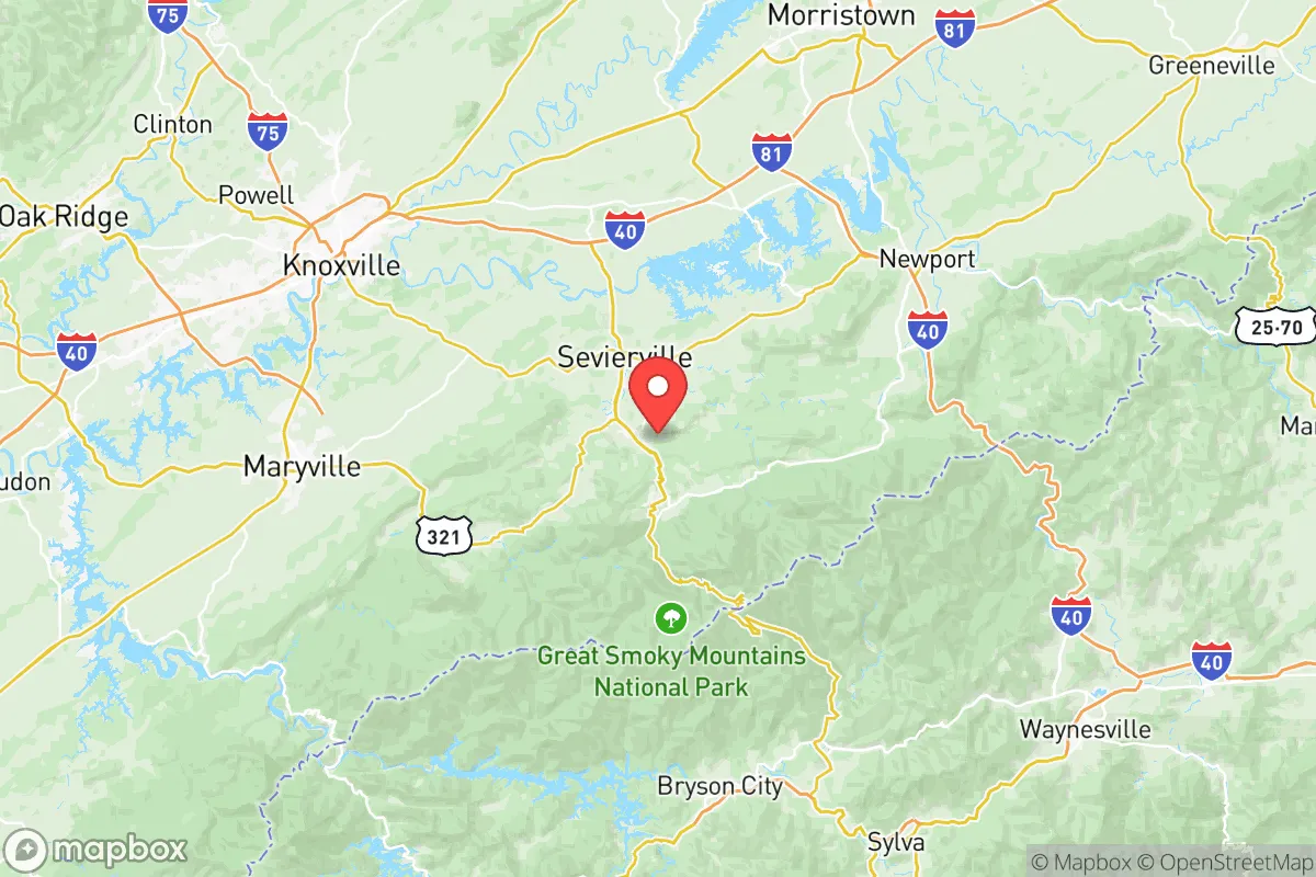
Sevier County sits in a transitional zone where the Appalachian Plateau rises sharply from the Tennessee Valley, creating a natural barrier to the west and north. The county seat, Sevierville, and the major tourist hubs of Pigeon Forge and Gatlinburg are nestled in valleys that are shielded by ridges running northeast to southwest. This topography provides significant advantages: the mountains block line-of-sight from major population centers, complicate ground approach for any hostile force, and create microclimates that moderate temperature extremes. The county's eastern boundary is the crest of the Great Smoky Mountains National Park, a vast, roadless wilderness that serves as a buffer against any threat originating from North Carolina. Elevation ranges from roughly 900 feet in the western part of the county to over 6,000 feet at Clingmans Dome, offering multiple defensible positions and escape routes into the backcountry. The Little Pigeon River system provides reliable surface water throughout the county, with numerous tributaries and springs that are less likely to be contaminated by upstream industrial activity than rivers in flatter, more developed regions.
Risks, exposures, and proximity to fallout-relevant landmarks
The most significant strategic vulnerability for Sevier County is its dependence on tourism infrastructure that is concentrated along a narrow corridor—US-441 between Sevierville and Gatlinburg. In a crisis, this road becomes a choke point for both evacuation and supply movement. The county is within 50 miles of Knoxville, home to the Tennessee Valley Authority's (TVA) Bull Run Fossil Plant and the Oak Ridge National Laboratory, a major nuclear research and materials processing site. Oak Ridge, roughly 40 miles northwest of Sevierville, is a primary target for any adversary seeking to disrupt U.S. nuclear capabilities or advanced manufacturing. The prevailing wind patterns in the region (generally west to southwest) mean that a radiological release from Oak Ridge could affect Sevier County's western and central areas, though the mountains would provide some shielding to the eastern half. Additionally, the county's location along the Tennessee Seismic Zone presents a low-to-moderate earthquake risk, with the potential for landslides on steep slopes—a hazard that was tragically demonstrated by the 2016 Gatlinburg wildfires, which were exacerbated by drought and high winds. The county's emergency services are heavily oriented toward tourist incidents (wildfires, vehicle accidents, medical emergencies), not large-scale disaster response, and the population can swell from 100,000 to over 300,000 on peak weekends, straining water, food, and medical resources.
Practical resilience for a relocator: food, water, energy, and defensibility
For a relocator serious about self-sufficiency, Sevier County offers several structural advantages. The county's agricultural base is small but present, with Sevier County's agricultural extension service supporting small farms and homesteads in the more rural areas around Wears Valley and Cosby. The growing season is roughly 180 days, suitable for cool-weather crops, and the abundant rainfall (averaging 50-55 inches annually) reduces the need for irrigation. Water is the county's strongest asset: the Little Pigeon River and its tributaries are fed by mountain springs and are generally clean, though testing is advisable near developed areas. Energy resilience is mixed. The county is served by Sevier County Electric System, which draws primarily from TVA's grid—a centralized system vulnerable to both physical attack and electromagnetic pulse (EMP). However, the mountainous terrain and forested land make solar and micro-hydro viable for off-grid setups, and the county's building codes (outside of the tourist corridor) are relatively lax, allowing for independent construction. Defensibility is high in the eastern half of the county, where narrow valleys and single-road access points create natural chokepoints. The Foothills Parkway and US-321 provide alternative routes into the county, but these are easily monitored and controlled. The primary practical challenge is the lack of local manufacturing and heavy industry; nearly all goods, from building materials to medical supplies, are trucked in along I-40, which passes just north of the county line. A disruption to that corridor would leave the county dependent on its own limited stockpiles.
The overall strategic picture for Sevier County is one of a high-potential but high-maintenance relocation option. The natural defenses, water resources, and agricultural potential are real and significant, placing it above most of the eastern seaboard in terms of raw survivability. However, the county's economic monoculture—tourism—creates a brittle system that could collapse quickly if the flow of visitors stops, as seen during the COVID-19 pandemic. For a relocator who is willing to live in the less-developed eastern or northern parts of the county, away from the Pigeon Forge-Gatlinburg strip, and who can invest in independent energy and water systems, Sevier County offers a defensible, resource-rich base. The proximity to Oak Ridge and Knoxville is a genuine strategic liability, but one that is partially mitigated by the mountains and the county's position on the leeward side of the prevailing winds. It is not a bug-out location for the unprepared, but for a disciplined, well-resourced individual or family, it is one of the more viable options in the southern Appalachians.

* Values derived from national, state, county, city and local statistics and may differ in a specific area. Last updated: 2026-06-28T01:12:39.000Z
Narrative content on this page is AI-generated and may contain mistakes. Verify any details that matter before acting on them.
ReloMaps may earn a commission from affiliate links at no extra cost to you.

