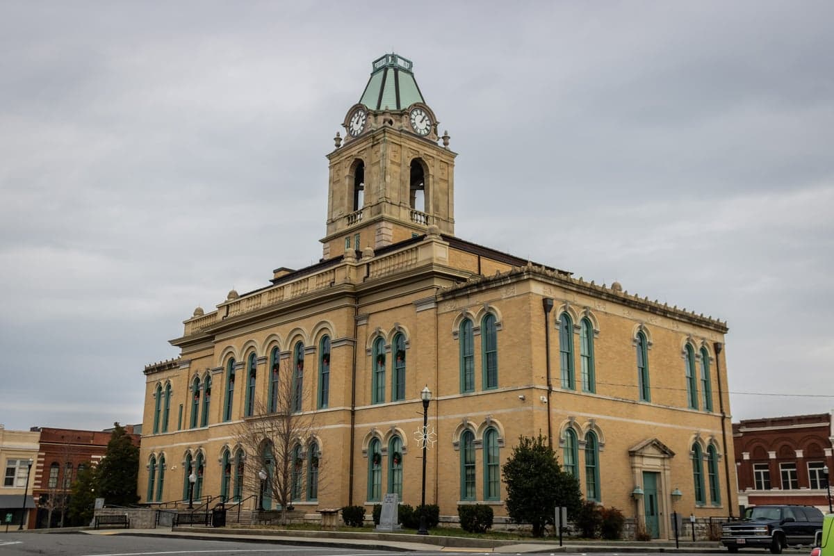
Photo: Wikipedia
Strategic Assessment of Robertson County
Meaningful friction. Expect exposure to either population pressure, blast zones, or natural disaster risk. Consider buying a retreat property.
What does the Strategic Assessment tell us?
Our Strategic Assessment grades tactical survivability of an area. Major population centers, military targets, fallout zones, natural disasters, and border exposure all drive risk — lower exposure means a more defensible position in a crisis.
This is heavily inspired by Joel Skousen's Strategic Relocation book. Highly recommended you checkout the book ($)What does this tell us?
Our Strategic Assessment grades tactical survivability of an area. Major population centers, military targets, fallout zones, natural disasters, and border exposure all drive risk — lower exposure means a more defensible position in a crisis.
This is heavily inspired by Joel Skousen's Strategic Relocation book. Highly recommended you checkout the book ($)Strategic Pillars

Key Distances
Strategic Assessment Analysis
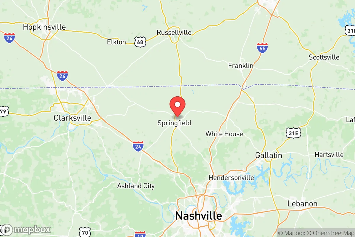
Robertson County, Tennessee, offers a compelling strategic position for relocators prioritizing resilience and self-sufficiency, balancing proximity to Nashville’s economic engine with a distinctly rural, defensible character. Located roughly 30 miles north of downtown Nashville and straddling the Kentucky border, the county’s seat of Springfield and its surrounding communities—including White House, Cross Plains, and Adams—provide a buffer from the immediate fallout risks of a major metropolitan area while still offering access to critical infrastructure. The county’s resilience profile is shaped by its geography, its distance from high-value targets, and its agricultural foundation, making it a practical choice for families and individuals who value preparedness without isolation.
Geographic position and natural advantages for long-term security
Robertson County sits atop the Highland Rim, a plateau that provides natural elevation advantages over the flood-prone Nashville Basin. The area’s rolling hills and limestone bedrock offer stable building sites and reduce the risk of catastrophic flooding, a key consideration for long-term security. The county is drained by the Red River and its tributaries, which flow north into Kentucky, providing a reliable surface water source that is less likely to be contaminated by downstream industrial activity than rivers near Nashville. The region’s karst topography, characterized by limestone caves and springs, also offers potential for natural water storage and shelter, though it requires careful well placement to avoid contamination. The county’s position along Interstate 65, a major north-south corridor, provides logistical advantages for supply movement without placing residents directly in the path of a Nashville-centric evacuation. The nearby town of Cross Plains, with its historic square and lower population density, exemplifies the kind of small-town defensibility that appeals to preparedness-minded relocators.
Risks, exposures, and proximity to fallout-relevant landmarks
While Robertson County avoids the highest-risk zones, it is not immune to man-made and natural threats. The county’s primary exposure comes from its proximity to Nashville’s infrastructure, including the Nashville International Airport (BNA) and the city’s major rail yards and chemical storage facilities. A significant event at the Tennessee Valley Authority’s Cumberland Fossil Plant, located about 40 miles west in Cumberland City, could pose a fallout risk depending on wind patterns. More immediately, Robertson County is within 50 miles of the U.S. Army’s Fort Campbell, a major military installation straddling the Kentucky-Tennessee border near Clarksville. While Fort Campbell is a potential target, its distance (roughly 25 miles northwest of Springfield) and the county’s position outside the immediate blast radius of a conventional strike make it a moderate risk rather than a critical one. The county’s own industrial base is limited to light manufacturing and agriculture, with no major refineries, nuclear plants, or chemical corridors within its borders. Natural risks include tornadoes—Robertson County lies in the Dixie Alley corridor, with a history of severe storms—and occasional drought, but the area’s topography mitigates the worst of flash flooding. For a relocator, the key takeaway is that Robertson County’s risks are manageable and largely predictable, unlike the concentrated hazards of Houston’s refinery corridor or the coastal storm surge zones.
Practical resilience for a relocator: food, water, energy, and defensibility
Robertson County’s agricultural base is its strongest resilience asset. The county is a leading producer of tobacco, corn, soybeans, and hay in Tennessee, with a strong network of family farms and local markets. The Springfield Farmers Market and the Robertson County Farmers Cooperative provide direct access to fresh produce and livestock feed, supporting a self-sufficient lifestyle. Water availability is generally good, with the majority of rural properties relying on private wells that tap into the Highland Rim aquifer. However, well depths vary significantly—from 50 to over 300 feet—so pre-purchase testing is essential. The county’s energy infrastructure is dominated by the Tennessee Valley Authority (TVA) grid, which is reliable but vulnerable to regional outages. Solar adoption is growing, particularly in unincorporated areas where zoning restrictions are minimal, and many residents supplement with propane or wood heat. Defensibility is a strong point: the county’s rural character, with its winding backroads and scattered farmsteads, makes it difficult for large-scale threats to move efficiently. The town of Adams, with its historic Battle of the Rails site, offers a sense of community cohesion that aids mutual aid networks. For a relocator, the practical steps include securing a property with a tested well, establishing a relationship with local farmers, and investing in off-grid energy backup. The county’s relatively low population density—roughly 100 people per square mile—means that competition for resources during a crisis would be less intense than in suburban Williamson or Rutherford counties.
The overall strategic picture for Robertson County is one of balanced resilience: it offers a genuine rural buffer from Nashville’s risks while retaining access to the city’s medical and logistical resources. The county’s agricultural strength, manageable natural hazards, and distance from high-value military and industrial targets make it a solid choice for relocators who want to be prepared without living in a bunker. The key trade-off is the need for proactive investment in water and energy independence, as well as a willingness to engage with the local community for mutual support. For families and individuals who value self-sufficiency and a slower pace, Robertson County provides a defensible, resource-rich base that is neither too remote nor too exposed. It is not a fortress, but it is a practical, livable option for those who think seriously about long-term preparedness.

* Values derived from national, state, county, city and local statistics and may differ in a specific area. Last updated: 2026-06-28T02:24:47.000Z
Narrative content on this page is AI-generated and may contain mistakes. Verify any details that matter before acting on them.
ReloMaps may earn a commission from affiliate links at no extra cost to you.

