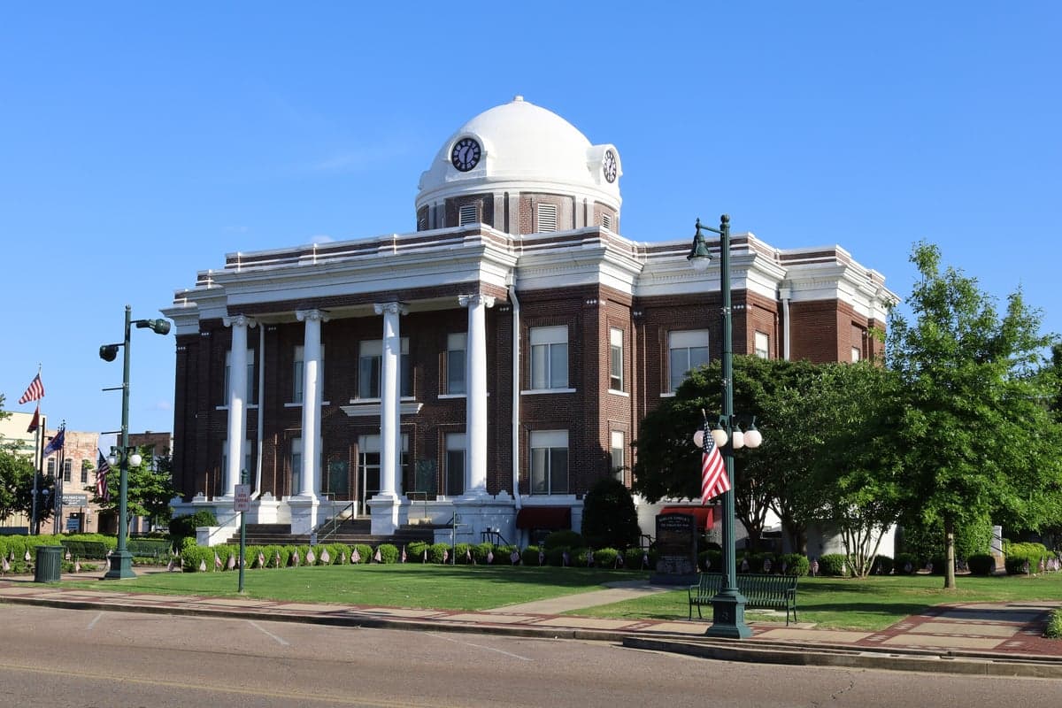
Photo: Wikipedia
Strategic Assessment of Dyer County
Workable tactical position. Some exposure to population density or targets, but generally defensible in a crisis.
What does the Strategic Assessment tell us?
Our Strategic Assessment grades tactical survivability of an area. Major population centers, military targets, fallout zones, natural disasters, and border exposure all drive risk — lower exposure means a more defensible position in a crisis.
This is heavily inspired by Joel Skousen's Strategic Relocation book. Highly recommended you checkout the book ($)What does this tell us?
Our Strategic Assessment grades tactical survivability of an area. Major population centers, military targets, fallout zones, natural disasters, and border exposure all drive risk — lower exposure means a more defensible position in a crisis.
This is heavily inspired by Joel Skousen's Strategic Relocation book. Highly recommended you checkout the book ($)Strategic Pillars

Key Distances
Strategic Assessment Analysis
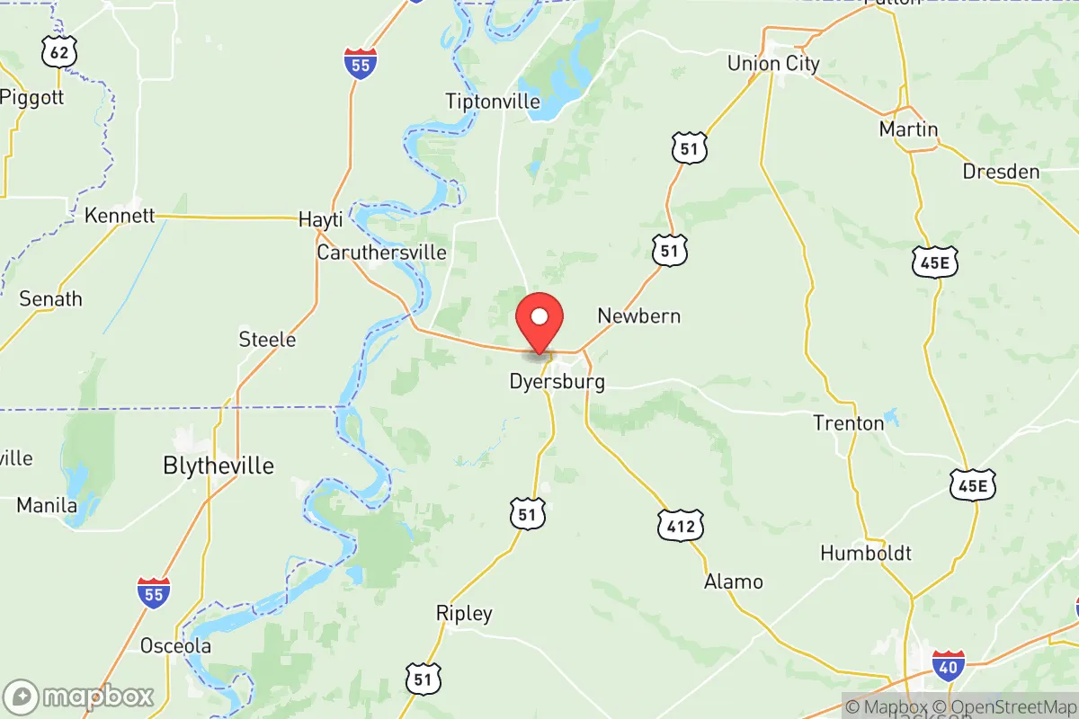
Dyer County, Tennessee, offers a compelling strategic position for relocators prioritizing resilience and self-sufficiency, anchored by its location in the rural, agriculturally rich Mississippi River Delta region. The county seat, Dyersburg, sits roughly 80 miles north of Memphis and 70 miles south of the Kentucky border, placing it far from major metropolitan blast zones while remaining within a practical distance of supply chains and medical infrastructure. This balance of isolation and accessibility makes Dyer County a serious contender for those evaluating disaster readiness, with the Mississippi River providing both a natural resource and a logistical corridor, though one that demands respect for its floodplain dynamics.
Geographic position and natural advantages for long-term security
Dyer County’s geography is defined by its flat, fertile floodplain along the Mississippi River, which historically has been both a blessing and a challenge. The county sits on the western edge of the Tennessee River Valley, with the Mississippi forming its western border, offering abundant surface water and rich soil for agriculture—key assets for food security. The area is far removed from major seismic zones, though it lies within the New Madrid Seismic Zone’s moderate risk area, roughly 50 miles east of the fault line’s epicenter near New Madrid, Missouri. This distance reduces the likelihood of catastrophic ground rupture, though moderate shaking could still affect older structures. The county’s elevation averages around 300 feet above sea level, with the highest points near the river bluffs, providing natural drainage and reducing flood risk in the eastern half of the county. Key towns like Newbern and Trimble sit on higher ground, while low-lying areas near the Mississippi—such as the community of Bogota—are more exposed to river flooding. The Obion River and its tributaries cut through the county, offering additional water sources but also requiring careful site selection for any homestead. For a relocator, the eastern portion of Dyer County, particularly around the town of Lenox, offers the best combination of elevation, soil quality, and distance from the river’s floodplain.
Risks, exposures, and proximity to fallout-relevant landmarks
Dyer County’s risk profile is moderate compared to urban or coastal areas, but specific exposures warrant attention. The most significant man-made risk comes from the Tennessee Valley Authority’s (TVA) New Johnsonville Fossil Plant, located roughly 30 miles east in Humphreys County, which burns coal and stores fly ash in on-site ponds. While not a nuclear facility, a catastrophic dam failure or ash spill could contaminate the Duck River watershed, which flows into the Tennessee River and eventually the Mississippi—though Dyer County’s water intake is upstream of that confluence. More directly, the Memphis Defense Depot and the FedEx World Hub at Memphis International Airport are about 80 miles south, both potential targets in a conflict scenario. However, prevailing winds from the south-southwest would carry fallout from Memphis away from Dyer County, and the 80-mile distance provides a significant safety buffer. The county itself hosts no major military bases, refineries, or chemical plants, though the Dyersburg Regional Airport is a general aviation facility that could be used for emergency logistics. Natural risks center on the Mississippi River floodplain: the Mississippi River Levee System protects most of the county’s western edge, but a catastrophic levee failure—similar to the 2011 flood that inundated parts of Missouri—could flood low-lying areas up to 10 feet deep. Tornado risk is elevated, as Dyer County lies in the traditional Dixie Alley corridor, with an average of 15 tornado warnings per year. The 2021 tornado that struck nearby Dresden, Tennessee, serves as a reminder that mobile homes and poorly anchored structures are vulnerable. For a relocator, the safest building sites are on the eastern side of the county, away from the river and with a reinforced safe room or basement.
Practical resilience for a relocator: food, water, energy, and defensibility
Dyer County offers strong practical resilience for those willing to invest in self-sufficiency. Food security is excellent: the county is a top producer of soybeans, corn, and cotton, with numerous small farms and farmers’ markets in Dyersburg and Newbern. The Dyer County Farmers Market operates from May through October, and local growers like B & B Produce offer direct sales. For long-term storage, the region’s mild winters allow for year-round gardening in hoop houses, and the Mississippi River floodplain soil is among the most fertile in the country. Water availability is abundant: the Mississippi River provides an essentially unlimited surface water source, though treatment is required for potability. The county’s groundwater comes from the Memphis Sand Aquifer, one of the cleanest in the U.S., with wells typically reaching 200-400 feet deep. Most rural properties rely on private wells, and drilling costs average $15-$25 per foot. Energy resilience is moderate: the TVA grid supplies electricity, with the Dyersburg Power Board managing distribution. Power outages are common during thunderstorms (averaging 2-3 per year lasting 4-8 hours), but natural gas is widely available in Dyersburg and Newbern. Solar potential is decent, with an average of 210 sunny days per year, though the region’s humidity and cloud cover reduce efficiency compared to the Southwest. Wood heating is practical, given the county’s 40% forest cover, with oak and hickory abundant. Defensibility is mixed: the flat, open terrain offers long sightlines but limited natural cover. The county’s population density is low (roughly 50 people per square mile), and the rural road network—including State Routes 104, 105, and 206—provides multiple egress routes, though many are two-lane and could choke during a mass evacuation. The Dyersburg Police Department and Dyer County Sheriff’s Office maintain a visible presence, with response times in rural areas averaging 15-20 minutes. For a relocator, a property with a well, solar panels, and a wood stove on a minimum of 10 acres east of Dyersburg offers the best balance of resource access and defensibility.
The overall strategic picture for Dyer County is one of moderate resilience with specific, manageable trade-offs. Its greatest strengths are its agricultural productivity, abundant water, and distance from high-value targets like Memphis or the Tennessee Valley’s industrial corridor. The primary weaknesses are flood risk in the western floodplain and tornado exposure across the entire county. For a relocator willing to invest in site selection—choosing higher ground east of the Mississippi River levee, building with reinforced construction, and securing a private well—Dyer County provides a solid foundation for long-term self-sufficiency. It is not a remote mountain redoubt, but it offers a practical, low-cost entry point into a resilient lifestyle within a supportive, rural community. The key is to treat the Mississippi River as a resource, not a threat, and to plan for the region’s weather extremes rather than dismissing them. For those serious about disaster readiness, Dyer County deserves a place on the short list.

* Values derived from national, state, county, city and local statistics and may differ in a specific area. Last updated: 2026-06-27T07:34:05.000Z
Narrative content on this page is AI-generated and may contain mistakes. Verify any details that matter before acting on them.
ReloMaps may earn a commission from affiliate links at no extra cost to you.

