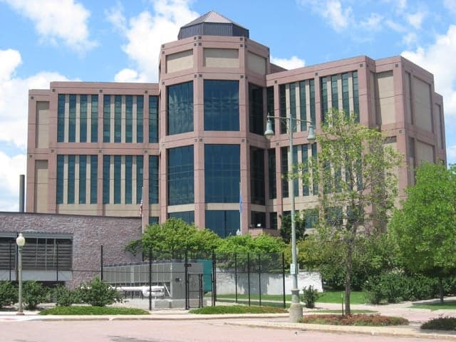
Photo: Wikipedia
Strategic Assessment of Minnehaha County
Workable tactical position. Some exposure to population density or targets, but generally defensible in a crisis.
What does the Strategic Assessment tell us?
Our Strategic Assessment grades tactical survivability of an area. Major population centers, military targets, fallout zones, natural disasters, and border exposure all drive risk — lower exposure means a more defensible position in a crisis.
This is heavily inspired by Joel Skousen's Strategic Relocation book. Highly recommended you checkout the book ($)What does this tell us?
Our Strategic Assessment grades tactical survivability of an area. Major population centers, military targets, fallout zones, natural disasters, and border exposure all drive risk — lower exposure means a more defensible position in a crisis.
This is heavily inspired by Joel Skousen's Strategic Relocation book. Highly recommended you checkout the book ($)Strategic Pillars

Key Distances
Strategic Assessment Analysis
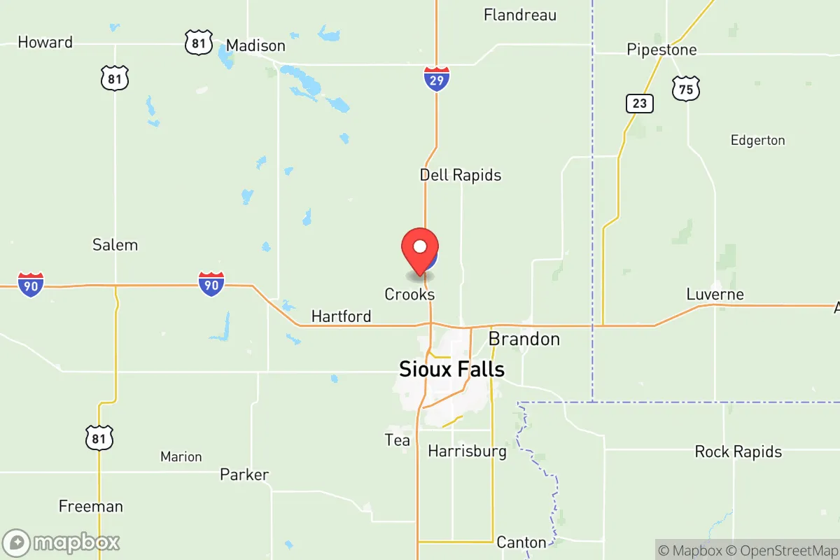
Minnehaha County, anchored by Sioux Falls, presents a nuanced strategic picture for the relocation-minded reader prioritizing resilience and self-sufficiency. Its primary advantage is its position in the eastern edge of South Dakota, placing it over 200 miles from the nearest major metropolitan target (Minneapolis-St. Paul) and far from any coastline, major fault lines, or hurricane zones. This geographic buffer, combined with a robust local economy and a state government that actively supports individual preparedness, makes it a serious contender for those seeking a stable, low-risk base of operations in an uncertain future.
Geographic position and natural advantages for long-term stability
Minnehaha County sits in the heart of the Upper Midwest, a region often cited for its relative insulation from the most disruptive natural and man-made events. The county is part of the Sioux Falls metropolitan area, which is the state's economic engine, but the surrounding landscape is predominantly agricultural, offering a significant food-production buffer. The Big Sioux River runs through the county, providing a reliable freshwater source, and the area is underlain by the Sioux Falls Aquifer, a massive, high-quality groundwater reserve that supplies the city and surrounding communities. This water security is a major plus; unlike regions dependent on distant reservoirs or snowmelt, Minnehaha County has a local, protected water source that is less vulnerable to drought or upstream contamination. The terrain is gently rolling plains, which is not defensible in a military sense but is highly practical for local farming, well drilling, and solar panel placement. The county's position also means it is far from the nation's primary strategic targets: no major military bases (the closest is Ellsworth Air Force Base near Rapid City, over 350 miles west), no major ports, and no significant petrochemical infrastructure within a 100-mile radius.
Risk exposure and proximity to fallout-relevant landmarks
The primary risk for Minnehaha County is not a direct strike but rather the secondary effects of a major disruption elsewhere. While Sioux Falls itself is not a high-value target, it is a regional hub for healthcare, food processing, and logistics. The Smithfield Foods pork processing plant in Sioux Falls is a critical piece of the national food supply chain, which could make it a target for sabotage or a point of convergence for displaced populations. The county's location along Interstate 29 and Interstate 90 is a double-edged sword: these highways provide excellent supply routes but also serve as major evacuation corridors from the Minneapolis-St. Paul metro area (about 240 miles north) and the Omaha-Council Bluffs area (about 190 miles south). In a crisis, Minnehaha County could see significant "bug-out" traffic. The nearest significant military installation is the Sioux Falls Air National Guard Base, co-located with the civilian airport. While not a primary strategic target like a nuclear missile silo, it is a military asset and could be a secondary target or a point of federal activity during a crisis. The county is also within the fallout plume range of a theoretical strike on the Minuteman III missile silos in western South Dakota and North Dakota, though prevailing winds typically blow west to east, meaning fallout from those sites would likely travel toward the Great Lakes, not southeast toward Sioux Falls. The most realistic risk is a prolonged power grid failure or a pandemic-induced supply chain collapse, given the county's reliance on just-in-time logistics for its urban population.
Practical resilience for a relocator: food, water, energy, and defensibility
For a relocator focused on self-sufficiency, Minnehaha County offers a mixed but generally favorable picture. Food security is strong: the county is surrounded by some of the most productive farmland in the world, and Sioux Falls itself is a major food processing hub (Smithfield, John Morrell, and several large grain elevators). A relocator with a few acres outside the city limits can easily grow vegetables, raise poultry, or even keep a few head of cattle. The growing season is short (roughly May to September), but the soil is rich. Water is abundant for those who drill a well; the aquifer is shallow and accessible in most parts of the county. For those on city water, the system is well-maintained but vulnerable to a single point of failure at the treatment plant. Energy resilience is improving but not yet ideal. The local utility, Xcel Energy, has a mix of coal, natural gas, and wind power. Net metering is available, making solar panels a viable investment for homeowners. The county has good sun exposure for solar, and wind is consistent, though small-scale wind turbines are less common. Defensibility is the weakest link. The terrain is open and flat, offering little natural cover or chokepoints. A rural property with a long driveway and a good line of sight is the best option. The county's gun laws are favorable (constitutional carry, no state-level magazine bans), which is a plus for personal security. The local law enforcement and emergency services are professional and well-funded, but in a widespread crisis, they would be stretched thin. The best strategy for a relocator is to secure a property in one of the smaller towns or unincorporated areas within the county—places like Brandon, Hartford, or Dell Rapids—which offer a quieter, more defensible lifestyle while still being within 20 minutes of Sioux Falls' hospitals and supply lines.
The overall strategic picture for Minnehaha County is one of moderate-to-high resilience for a relocator who is intentional about their setup. It is not a remote survivalist retreat; it is a functioning, modern American county with all the conveniences and vulnerabilities that entails. Its greatest strengths are its food and water security, its distance from primary strategic targets, and its stable, conservative governance. Its greatest weaknesses are its open terrain, its reliance on interstate highways that could become evacuation routes, and its concentration of critical infrastructure in Sioux Falls. For a single individual or family willing to invest in a well, solar panels, and a rural property outside the city limits, Minnehaha County offers a compelling balance of accessibility and preparedness. It is a place where you can live a normal, prosperous life while being far better positioned than 90% of the country to weather a major disruption.

* Values derived from national, state, county, city and local statistics and may differ in a specific area. Last updated: 2026-07-04T13:28:05.000Z
Narrative content on this page is AI-generated and may contain mistakes. Verify any details that matter before acting on them.
ReloMaps may earn a commission from affiliate links at no extra cost to you.

