Photo: Wikipedia
Strategic Assessment of Hughes County
Strong survivability profile. Good buffer from population centers, with manageable environmental and tactical risks.
What does the Strategic Assessment tell us?
Our Strategic Assessment grades tactical survivability of an area. Major population centers, military targets, fallout zones, natural disasters, and border exposure all drive risk — lower exposure means a more defensible position in a crisis.
This is heavily inspired by Joel Skousen's Strategic Relocation book. Highly recommended you checkout the book ($)What does this tell us?
Our Strategic Assessment grades tactical survivability of an area. Major population centers, military targets, fallout zones, natural disasters, and border exposure all drive risk — lower exposure means a more defensible position in a crisis.
This is heavily inspired by Joel Skousen's Strategic Relocation book. Highly recommended you checkout the book ($)Strategic Pillars

Key Distances
Strategic Assessment Analysis
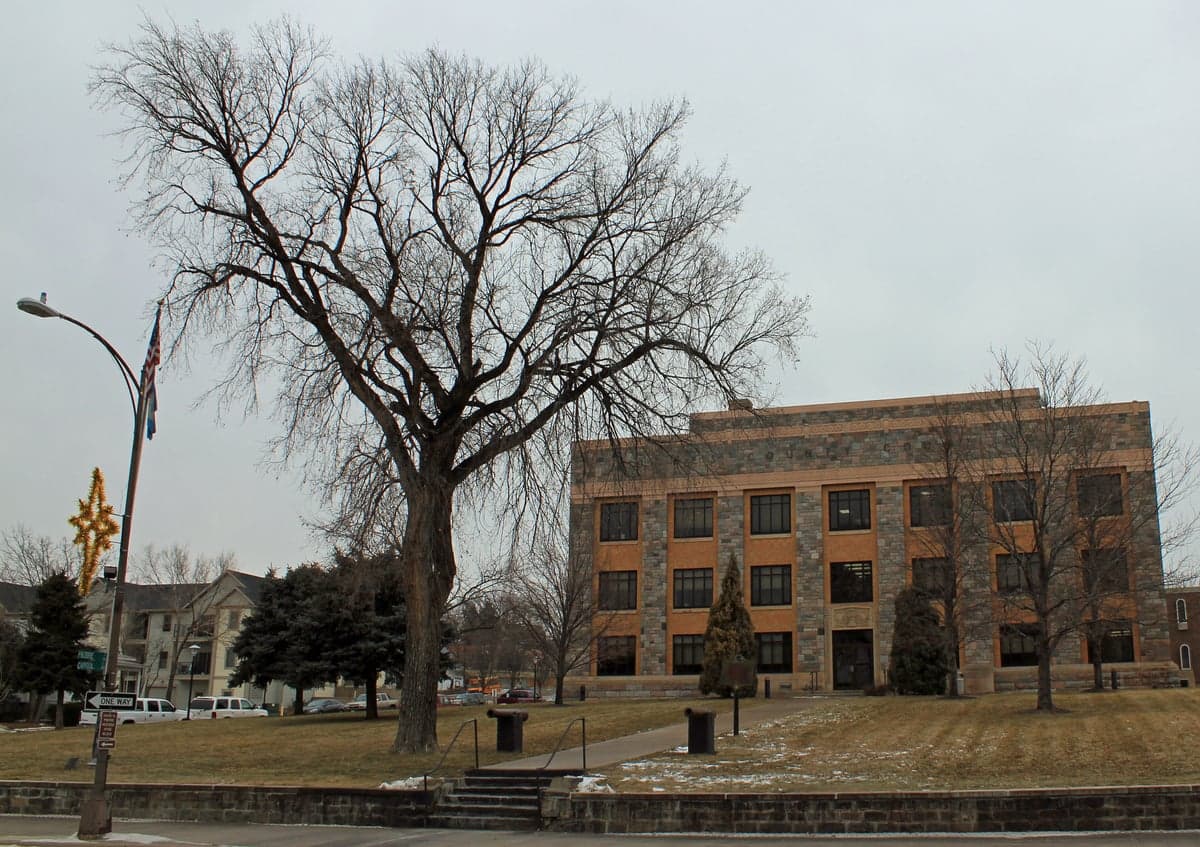
Hughes County, South Dakota, centered on the state capital Pierre, presents a compelling case for relocation-minded readers prioritizing resilience and strategic depth. Its position in the geographic heart of the state, far from major coastal population centers and their associated vulnerabilities, offers a baseline advantage for those thinking seriously about disaster readiness and self-sufficiency. The county’s low population density, access to the Missouri River, and status as a regional government and services hub create a unique blend of isolation and functional infrastructure that is rare in the continental United States.
Geographic position and natural advantages for long-term stability
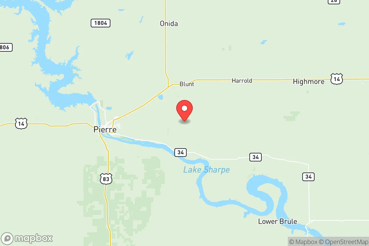
Hughes County sits at the crossroads of the Missouri River and the rolling plains of central South Dakota. The county seat, Pierre, is the smallest state capital by population in the country, with roughly 14,000 residents, and the entire county holds fewer than 18,000 people. This low density is a core resilience feature: it means fewer targets, less competition for resources in a crisis, and a community that is accustomed to self-reliance. The Missouri River provides a reliable, large-volume freshwater source—a critical asset for any long-term sustainability plan. The surrounding landscape is predominantly agricultural, with vast tracts of open land that offer natural defensibility and space for decentralized food production. The county is also positioned roughly 100 miles from the Ellsworth Air Force Base near Rapid City, a strategic military installation that, while a potential target, also anchors regional emergency response and infrastructure investment. The Fort Pierre National Grassland, just across the river in Stanley County, provides additional buffer land and potential foraging or grazing areas. The region’s geology is stable, with no significant earthquake or tsunami risk, and its continental climate, while harsh in winter, is predictable and manageable with proper preparation.
Risk exposure and proximity to fallout-relevant landmarks
While Hughes County’s isolation is a strength, it is not immune to risk. The most significant man-made threat is the Oahe Dam, located just north of Pierre on the Missouri River. This massive hydroelectric and flood-control dam is a critical piece of regional infrastructure. A catastrophic failure—though extremely unlikely—would inundate low-lying areas along the river, including parts of Pierre and Fort Pierre. More realistically, the dam is a potential target for sabotage or cyberattack, which could disrupt power and water flow for the entire region. The county is also within 150 miles of the Pine Ridge Indian Reservation and the Badlands National Park, areas that, while not industrial targets, could experience secondary effects from broader societal disruption. There are no major oil refineries, nuclear power plants, or large-scale chemical facilities within Hughes County itself, which is a positive. The nearest significant industrial complex is the ethanol and ag-processing facilities in the Sioux Falls area, roughly 200 miles east—far enough to avoid direct fallout but close enough that supply chain disruptions could affect fuel and food availability. The primary natural risk is severe winter weather, including blizzards and extreme cold, which can paralyze transportation and strain heating fuel supplies. Tornadoes are a seasonal threat, though the county lies west of the most active tornado alley. Overall, the risk profile is moderate and manageable, with the dam being the single most consequential point of vulnerability.
Practical resilience for a relocator: food, water, energy, and defensibility
For a relocator focused on self-sufficiency, Hughes County offers a strong foundation. Water is the standout asset: the Missouri River provides an essentially unlimited supply, and the Oahe Dam’s reservoir, Lake Oahe, is one of the largest man-made lakes in the country. Groundwater is also accessible via wells in most areas. Food production is viable, with fertile soil in the river valley and a long growing season (by northern plains standards) of roughly 140 frost-free days. Local agriculture is dominated by corn, soybeans, and wheat, and there is a robust network of small-scale ranchers raising cattle and bison. The Pierre Farmers Market and local co-ops provide access to fresh produce, but a relocator should plan to establish their own garden and possibly small livestock. Energy is reliable, with the Oahe Dam providing hydroelectric power to the region. The grid is stable, but a prudent relocator would invest in solar panels with battery storage, as winter storms can cause outages. Propane and wood are common backup heating sources. Defensibility is excellent: the county’s low population density means that a well-chosen property with good sightlines and a defensible perimeter is achievable. The local law enforcement presence is adequate, but the culture is one of personal responsibility and firearm ownership, which aligns with a self-reliant mindset. The Hughes County Sheriff’s Office and the Pierre Police Department are professional but stretched thin in a crisis, so community mutual aid networks are the real backbone of security.
The overall strategic picture for Hughes County is one of balanced, grounded resilience. It is not a prepper fantasyland of total isolation, nor is it a vulnerable urban center. It is a working, functional community with a strong agricultural base, a reliable water source, and a government infrastructure that, while small, is accustomed to managing regional emergencies. The presence of the Oahe Dam is the single greatest risk, but it is also the source of the county’s energy and water abundance. For a relocator who values space, water security, and a low-target profile, Hughes County offers a realistic and sustainable option. The winters are real, the nearest major city (Sioux Falls) is a four-hour drive, and the local economy is not booming—but for those who prioritize preparedness over convenience, this is a place where a serious plan can be executed without the noise and vulnerability of a crowded metro area. The key is to arrive with skills, supplies, and a willingness to integrate into a community that already knows how to handle itself.

* Values derived from national, state, county, city and local statistics and may differ in a specific area. Last updated: 2026-07-02T10:33:10.000Z
Narrative content on this page is AI-generated and may contain mistakes. Verify any details that matter before acting on them.
ReloMaps may earn a commission from affiliate links at no extra cost to you.

