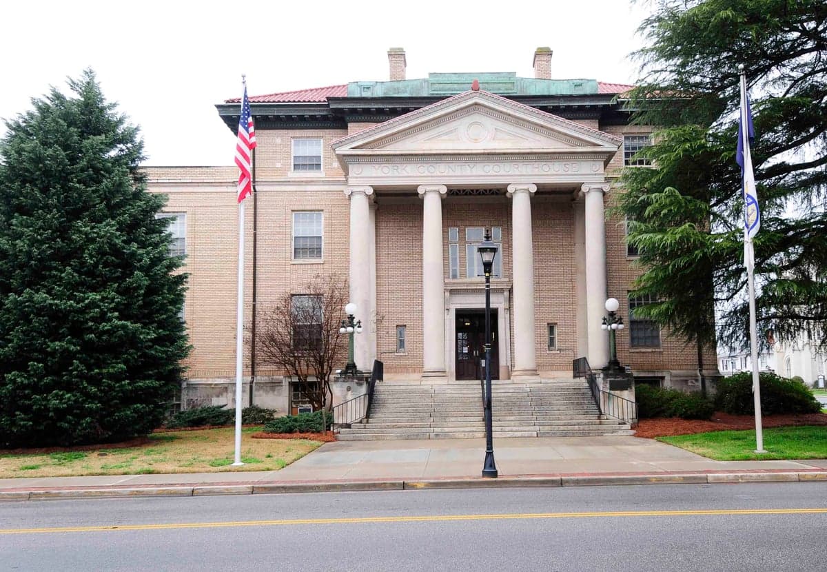
Photo: Wikipedia
Strategic Assessment of York County
Meaningful friction. Expect exposure to either population pressure, blast zones, or natural disaster risk. Consider buying a retreat property.
What does the Strategic Assessment tell us?
Our Strategic Assessment grades tactical survivability of an area. Major population centers, military targets, fallout zones, natural disasters, and border exposure all drive risk — lower exposure means a more defensible position in a crisis.
This is heavily inspired by Joel Skousen's Strategic Relocation book. Highly recommended you checkout the book ($)What does this tell us?
Our Strategic Assessment grades tactical survivability of an area. Major population centers, military targets, fallout zones, natural disasters, and border exposure all drive risk — lower exposure means a more defensible position in a crisis.
This is heavily inspired by Joel Skousen's Strategic Relocation book. Highly recommended you checkout the book ($)Strategic Pillars

Key Distances
Strategic Assessment Analysis
York County, South Carolina, offers a strategic relocation option for those prioritizing disaster readiness and self-sufficiency, balancing proximity to the economic engine of Charlotte, North Carolina, with the relative insulation of a smaller, less dense population center. The county’s resilience profile is anchored by its location in the Carolina Piedmont, a region historically less prone to the most severe natural disasters, while its distance from major coastal targets and industrial corridors provides a meaningful buffer against certain man-made risks. For the single individual or family weighing long-term security, York County presents a credible middle-ground: close enough to urban resources but far enough from the highest-risk zones.
Geographic position and natural advantages for disaster preparedness
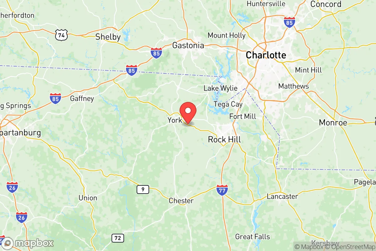
York County sits roughly 25 miles southwest of Charlotte, placing it outside the immediate blast or fallout radius of a major metropolitan target while still allowing access to that city’s medical and logistical infrastructure. The county’s terrain is rolling hills and hardwood forests, part of the Piedmont region, which offers natural drainage and reduces flood risk compared to coastal or low-lying areas. The Catawba River runs along the county’s western edge, providing a significant freshwater source, and Lake Wylie—a 13,400-acre reservoir formed by the Catawba—straddles the northern border with North Carolina, offering both a recreational asset and a potential emergency water supply. The area’s elevation averages around 600 to 800 feet above sea level, which mitigates storm surge concerns and places it outside the floodplain for all but the most extreme rainfall events. The local climate is humid subtropical, with mild winters and hot summers, but tornado activity is moderate compared to the Deep South or Plains states, and the county has not experienced a direct hurricane landfall in recorded history, though tropical remnants occasionally pass through.
Risks, exposures, and proximity to fallout-relevant landmarks
The primary man-made risk for York County is its proximity to Charlotte, a major financial hub and transportation node that could be a target in a conflict scenario. Charlotte Douglas International Airport, a major cargo and passenger hub, lies roughly 20 miles northeast of the county line, and the city hosts the headquarters of Bank of America and other critical financial infrastructure. A detonation or attack on Charlotte would place York County within a moderate fallout zone depending on wind patterns, though the prevailing winds in the region are from the southwest, which would carry debris away from the county in many scenarios. Additionally, the Catawba Nuclear Station, located in neighboring Lancaster County about 15 miles south of York County’s border, is a two-reactor facility that could pose a radiological risk in the event of an accident or attack. On the natural disaster front, the county is in Seismic Zone 1, the lowest classification for earthquake risk, and has no active fault lines nearby. Flooding is the most common natural hazard, typically localized to low-lying areas near the Catawba River and its tributaries, but the county’s stormwater management infrastructure in towns like Rock Hill, Fort Mill, and Tega Cay has been upgraded following several 100-year flood events in the 2010s. Wildfire risk is low due to the region’s humidity and forest composition, though drought conditions can elevate it in dry summers.
Practical resilience for relocators: food, water, energy, and defensibility
For a relocator focused on self-sufficiency, York County offers a mix of suburban and rural environments that support practical resilience. The county’s agricultural sector is modest but present, with Clover and York (the county seat) surrounded by farmland producing soybeans, corn, and poultry, and several farmers’ markets operate year-round in Rock Hill and Fort Mill. The Catawba River and Lake Wylie provide reliable freshwater access, though residents drawing from wells should test for common contaminants like iron and manganese. Municipal water in Rock Hill and Fort Mill is treated and generally reliable, but the system depends on the Catawba River, which has experienced low-flow periods during droughts. For off-grid capability, the county’s average annual rainfall of 45 inches supports rainwater catchment, and the moderate climate allows for extended growing seasons. Energy resilience is a mixed picture: Duke Energy provides grid power, and outages occur during thunderstorms and ice storms, typically lasting a few hours to a day. Solar potential is moderate, with about 4.5 peak sun hours per day, and several local installers serve the area. Natural gas is available in most suburban areas but not in rural parts of the county. Defensibility varies by location: suburban subdivisions in Fort Mill and Tega Cay offer community but limited standoff, while rural properties near Clover and York provide more acreage and privacy, with winding roads and forested terrain that could slow approach. The county’s law enforcement presence is robust, with the York County Sheriff’s Office and municipal police departments in Rock Hill, Fort Mill, and Tega Cay, but response times in remote areas can exceed 20 minutes. The nearest Level I trauma center is Atrium Health’s Carolinas Medical Center in Charlotte, about 25 minutes from Fort Mill but 45 minutes from southern York County.
Overall, York County’s strategic picture is one of moderate resilience with clear trade-offs. Its inland Piedmont location spares it from the worst coastal and seismic threats, and its distance from Charlotte reduces—but does not eliminate—exposure to urban-target risks. The county’s freshwater resources, agricultural land, and mix of suburban and rural housing give a relocator options for building self-sufficiency, but dependence on the Charlotte metro for specialized medical care and supply chains is a vulnerability. For a family or individual who wants to be within striking distance of a major city while maintaining a defensible, resource-accessible home base, York County is a solid choice—provided they plan for the specific risks of nuclear proximity and grid dependency. The towns of Rock Hill, Fort Mill, Tega Cay, Clover, and York each offer different balances of convenience and isolation, and the smart relocator will match their specific threat model to the right location within the county.

* Values derived from national, state, county, city and local statistics and may differ in a specific area. Last updated: 2026-07-11T22:06:03.000Z
Narrative content on this page is AI-generated and may contain mistakes. Verify any details that matter before acting on them.
ReloMaps may earn a commission from affiliate links at no extra cost to you.

