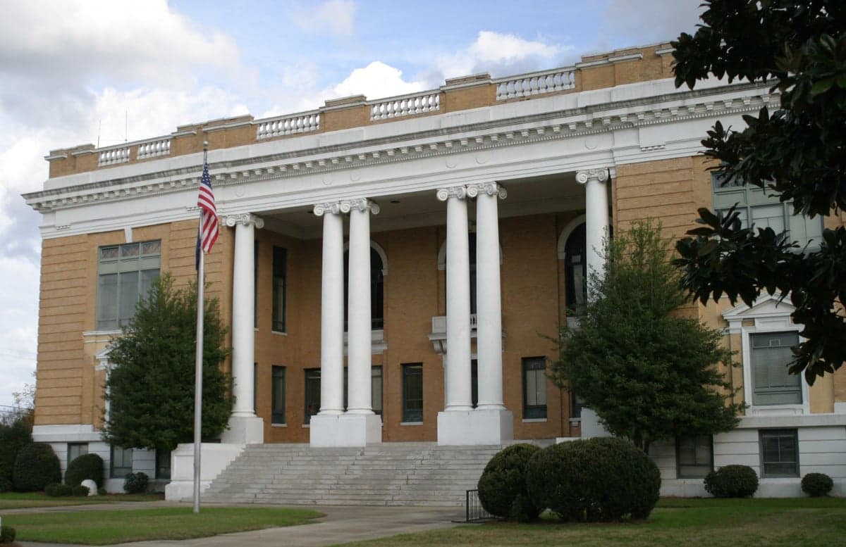
Photo: Wikipedia
Strategic Assessment of Sumter County
Meaningful friction. Expect exposure to either population pressure, blast zones, or natural disaster risk. Consider buying a retreat property.
What does the Strategic Assessment tell us?
Our Strategic Assessment grades tactical survivability of an area. Major population centers, military targets, fallout zones, natural disasters, and border exposure all drive risk — lower exposure means a more defensible position in a crisis.
This is heavily inspired by Joel Skousen's Strategic Relocation book. Highly recommended you checkout the book ($)What does this tell us?
Our Strategic Assessment grades tactical survivability of an area. Major population centers, military targets, fallout zones, natural disasters, and border exposure all drive risk — lower exposure means a more defensible position in a crisis.
This is heavily inspired by Joel Skousen's Strategic Relocation book. Highly recommended you checkout the book ($)Strategic Pillars

Key Distances
Strategic Assessment Analysis
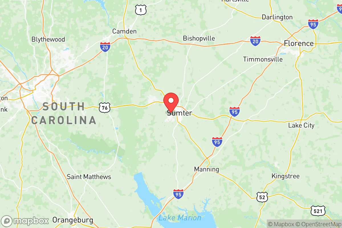
Sumter County, South Carolina, offers a strategic blend of inland positioning and logistical access that appeals to relocation-minded individuals and families prioritizing resilience and self-sufficiency. Located roughly 40 miles east of Columbia and 90 miles northwest of Charleston, the county sits outside the immediate blast and fallout zones of major metropolitan targets while remaining within a practical distance of critical infrastructure and supply chains. Its geography—flat, wooded, and agricultural—provides natural buffers and resource opportunities that make it a credible option for those assessing long-term preparedness in the Southeast.
Geographic position and natural advantages for long-term stability
Sumter County’s location in the South Carolina Lowcountry places it inland enough to avoid the direct hurricane storm surge threats that plague coastal communities like Charleston or Myrtle Beach, yet close enough to benefit from regional transportation networks. The county is bisected by Interstate 95 and U.S. Highway 76, providing reliable evacuation routes north toward the Piedmont or south toward the Savannah River area. The terrain is predominantly flat to gently rolling, with elevations averaging 150–200 feet above sea level—low enough to avoid severe winter weather but high enough to escape the worst of coastal flooding. The Wateree River forms the county’s western boundary, offering a natural water source and a defensible perimeter, while the Black River runs through the eastern portion. These waterways, combined with the region’s high water table and numerous small lakes and ponds, give residents access to surface water for irrigation, livestock, and emergency use. The county’s agricultural base—dominated by soybeans, corn, cotton, and timber—means that local food production is a tangible asset, not just a theoretical one. The climate is humid subtropical, with mild winters and long growing seasons, supporting year-round gardening and small-scale farming.
Risks, exposures, and proximity to fallout-relevant landmarks
While Sumter County avoids the highest-risk coastal zones, it is not without vulnerabilities. The most significant man-made risk comes from Shaw Air Force Base, located just west of the city of Sumter. Shaw is a major U.S. Air Force installation housing the 20th Fighter Wing and the 9th Air Force headquarters, making it a high-value target in any conflict scenario. A direct strike on Shaw would produce a substantial blast radius and fallout plume that could affect much of central Sumter County, particularly areas within 10–15 miles of the base. The county also lies within 50 miles of the Savannah River Site, a nuclear weapons facility and waste storage complex near Aiken, SC. While not a primary target, an accident or secondary strike there could release radioactive material that drifts eastward toward Sumter. On the natural disaster front, the county faces moderate hurricane risk—inland storms can still bring damaging winds, tornadoes, and flooding. The 2015 historic floods and Hurricane Matthew in 2016 caused significant localized flooding in low-lying areas near the Wateree and Black Rivers. Wildfire risk is low but present in the county’s extensive pine forests, particularly during drought periods. The proximity to Interstate 95 also means that a major transportation accident—such as a hazardous material spill—could disrupt travel and contaminate local water sources. For a relocator, the key takeaway is that Sumter County’s risks are manageable with proper planning, but the presence of Shaw AFB and the Savannah River Site requires awareness and a pre-planned evacuation or sheltering strategy.
Practical resilience for a relocator: food, water, energy, and defensibility
For someone serious about self-sufficiency, Sumter County offers several practical advantages. Water availability is strong: the county sits atop the Coastal Plain aquifer system, which provides abundant groundwater at relatively shallow depths (50–150 feet). Many rural properties already have private wells, and drilling a new well is affordable compared to other regions. Surface water from the Wateree and Black Rivers is accessible but requires treatment. Food production is viable: the county’s agricultural heritage means fertile, well-drained soils suitable for row crops, orchards, and livestock. The growing season runs from late March to early November, allowing for two crop cycles in many cases. Local farmers’ markets and co-ops in Sumter, Dalzell, and Stateburg provide fresh produce, eggs, and meat, and the county has several feed and seed stores for those starting their own operations. Energy resilience is moderate: the grid is served by Santee Cooper and Duke Energy, both of which have experienced storm-related outages. Solar potential is good—the region averages 215 sunny days per year—and many rural properties have space for ground-mounted panels. Backup generators are common among prepared residents. Defensibility is mixed: the flat, open terrain offers limited natural cover, but the county’s low population density (roughly 100 people per square mile outside the city of Sumter) means fewer neighbors to contend with. Rural properties with tree lines, ponds, and long driveways provide natural security. The county’s network of secondary roads and unpaved farm tracks offers multiple escape routes if main roads become clogged. The Manchester State Forest and Poinsett State Park provide public land for foraging, hunting, and emergency shelter, though they are not private. For a family, the practical calculus is favorable: Sumter County has the water, soil, and space to support a semi-independent lifestyle, but requires investment in well drilling, solar, and food storage to reach full resilience.
Overall, Sumter County presents a balanced strategic picture for the relocation-minded reader. It is not a remote bunker location—it sits within a reasonable drive of Columbia, Charleston, and the I-95 corridor, which brings both convenience and risk. The presence of Shaw Air Force Base and the Savannah River Site are real concerns that demand a serious contingency plan, but the county’s natural resources, agricultural capacity, and moderate climate offset many of those vulnerabilities. For a family or individual willing to invest in water independence, renewable energy, and food production, Sumter County offers a credible foundation for long-term resilience without the extreme isolation of more distant locations. The key is to choose a property east or south of the city of Sumter, away from Shaw’s immediate footprint, and to build redundancy into water and power systems. In the broader Southeast, few counties offer this combination of access, resources, and manageable risk.

* Values derived from national, state, county, city and local statistics and may differ in a specific area. Last updated: 2026-06-29T05:52:45.000Z
Narrative content on this page is AI-generated and may contain mistakes. Verify any details that matter before acting on them.
ReloMaps may earn a commission from affiliate links at no extra cost to you.

