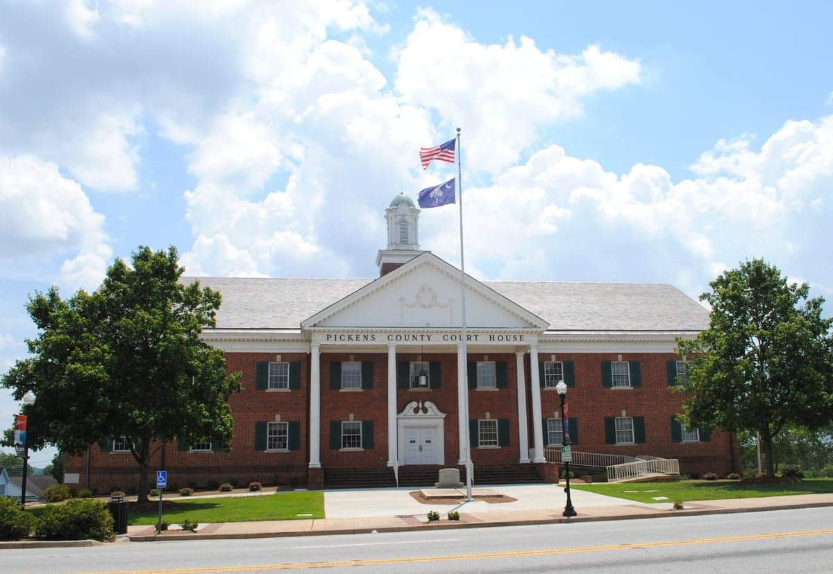
Photo: Wikipedia
Strategic Assessment of Pickens County
Workable tactical position. Some exposure to population density or targets, but generally defensible in a crisis.
What does the Strategic Assessment tell us?
Our Strategic Assessment grades tactical survivability of an area. Major population centers, military targets, fallout zones, natural disasters, and border exposure all drive risk — lower exposure means a more defensible position in a crisis.
This is heavily inspired by Joel Skousen's Strategic Relocation book. Highly recommended you checkout the book ($)What does this tell us?
Our Strategic Assessment grades tactical survivability of an area. Major population centers, military targets, fallout zones, natural disasters, and border exposure all drive risk — lower exposure means a more defensible position in a crisis.
This is heavily inspired by Joel Skousen's Strategic Relocation book. Highly recommended you checkout the book ($)Strategic Pillars

Key Distances
Strategic Assessment Analysis
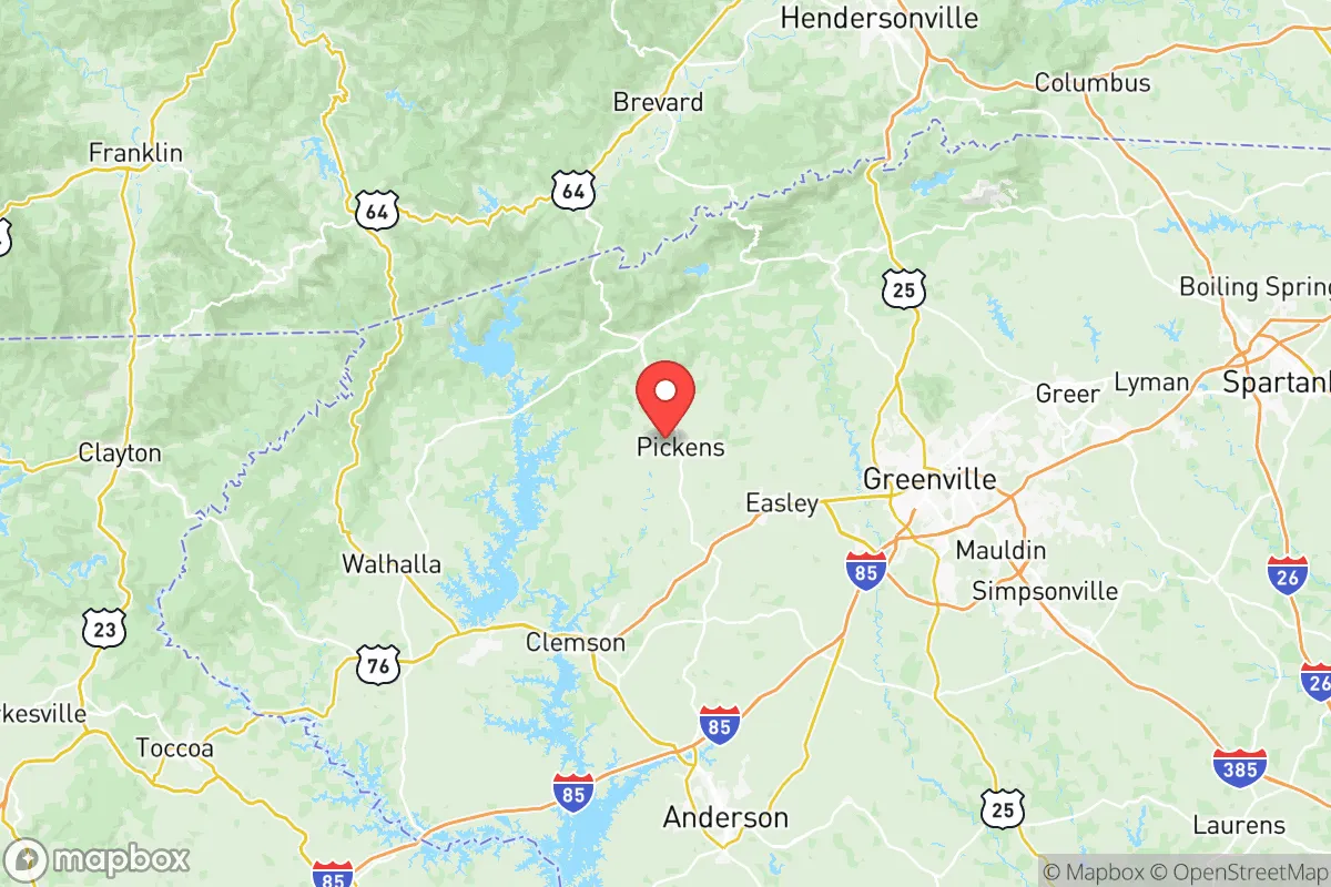
Pickens County, South Carolina, offers a strategic blend of geographic isolation and practical access that appeals to relocation-minded individuals and families prioritizing resilience and self-sufficiency. Nestled in the foothills of the Blue Ridge Mountains, the county sits roughly 30 miles from Greenville and 45 miles from Asheville, North Carolina, placing it far enough from major urban centers to avoid their primary risks while remaining within a two-hour drive of critical infrastructure like the Greenville-Spartanburg International Airport and the Port of Charleston’s inland rail terminals. This positioning provides a buffer against the immediate fallout of a major metropolitan event—whether natural or man-made—while still allowing for supply runs, medical access, and economic connectivity. The county’s population of roughly 135,000 is spread across towns like Easley, Liberty, and the county seat of Pickens, with significant undeveloped land and forested terrain that supports a lower population density than the nearby Upstate corridor.
Geographic position and natural advantages for long-term stability
Pickens County’s topography is its most significant asset for resilience. The county rises from the Piedmont into the Blue Ridge escarpment, with elevations ranging from 800 feet in the southern lowlands to over 3,000 feet at Sassafras Mountain, the highest point in South Carolina. This varied terrain creates natural defensibility: the mountainous northern section, including parts of the Sumter National Forest and the Jocassee Gorges area, offers remote retreat options with limited road access, while the southern valleys near Easley and Liberty provide fertile bottomland for small-scale agriculture. The county is bisected by the Keowee River and contains Lake Keowee and Lake Jocassee, two major reservoirs that supply drinking water to the region and offer reliable water sources for off-grid setups. Unlike coastal areas, Pickens County is far enough inland to avoid hurricane storm surge and the worst of tropical storm winds, though it does experience occasional ice storms and winter weather at higher elevations. The climate is temperate, with a growing season of roughly 200 days, which supports year-round gardening and livestock grazing—a practical advantage for anyone aiming to reduce reliance on supply chains.
Risks, exposures, and proximity to fallout-relevant landmarks
While Pickens County avoids the most obvious high-risk targets, it is not without exposure. The county sits within 50 miles of the Savannah River Site, a nuclear weapons facility and waste storage complex near Aiken, South Carolina, which is a potential target for sabotage or accident. Closer to home, the Oconee Nuclear Station, located just across the county line in Oconee County on Lake Keowee, is a three-unit pressurized water reactor that has been operational since the 1970s. A major incident at Oconee could affect the western half of Pickens County, particularly areas along the Keowee River corridor. Additionally, the county lies within 100 miles of Fort Jackson, a major Army training base near Columbia, and within 150 miles of the Port of Charleston, a critical logistics hub that could be a secondary target in a conflict scenario. On the natural disaster front, the region is in Seismic Zone 2, meaning moderate earthquake risk—the 1886 Charleston earthquake was felt here, and the Eastern Tennessee Seismic Zone periodically produces minor tremors. Flooding is a localized concern along the Keowee and Twelve Mile River floodplains, but most of the county’s residential areas are on higher ground. Wildfire risk is moderate, particularly in the forested northern sections during dry spells, but the county’s fire departments and the South Carolina Forestry Commission maintain active mitigation programs.
Practical resilience for a relocator: food, water, energy, and defensibility
For someone serious about self-sufficiency, Pickens County offers strong fundamentals. Water availability is excellent: Lake Keowee and Lake Jocassee provide over 40,000 acres of surface water, and groundwater wells are common in rural areas, with typical depths of 100–300 feet yielding reliable supplies. The county’s water utilities, including the Pickens County Water and Sewer Authority, serve most populated areas, but off-grid well drilling is straightforward and permitted with standard county health department approvals. Food production is viable: the county has a robust agricultural extension service through Clemson University, and local farms near Liberty and Six Mile supply produce, eggs, and meat at farmers’ markets. The growing season allows for two crop cycles in many vegetables, and the terrain supports small orchards and livestock, including goats, chickens, and cattle. Energy resilience is mixed: Duke Energy provides grid power, but outages from ice storms and thunderstorms are common in the northern areas. Solar potential is moderate—the region averages 4.5 peak sun hours per day, slightly below the national average, but sufficient for a well-sized off-grid system with battery storage. Wood heating is practical, given the forested landscape, and many rural properties already have wood stoves or fireplaces. Defensibility is a standout feature: the mountainous northern section has limited road access, with only SC-11 (the Cherokee Foothills Scenic Highway) and a few county roads providing entry points. This natural chokepoint geography makes it easier to monitor and control access to remote properties. The county’s law enforcement presence is modest—the Pickens County Sheriff’s Office has about 60 sworn deputies for the entire county—so community-based security and neighborhood watch arrangements are common in rural subdivisions.
The overall strategic picture for Pickens County is one of balanced resilience with manageable trade-offs. It offers genuine geographic advantages—defensible terrain, abundant water, a long growing season, and distance from primary targets—while remaining close enough to Greenville and Asheville for medical care, supplies, and economic opportunity. The primary risks are the Oconee Nuclear Station and the Savannah River Site, both of which require awareness and a basic emergency plan, but neither is a dealbreaker for a prepared relocator. The county’s conservative-leaning culture, with a strong tradition of hunting, gardening, and community self-reliance, aligns well with the mindset of someone prioritizing preparedness. For a family or individual looking to establish a resilient base in the Southeast, Pickens County ranks as a solid choice—not perfect, but with the raw ingredients to build long-term stability if you’re willing to put in the work on water, energy, and community connections.

* Values derived from national, state, county, city and local statistics and may differ in a specific area. Last updated: 2026-11-07T11:13:51.000Z
Narrative content on this page is AI-generated and may contain mistakes. Verify any details that matter before acting on them.
ReloMaps may earn a commission from affiliate links at no extra cost to you.

