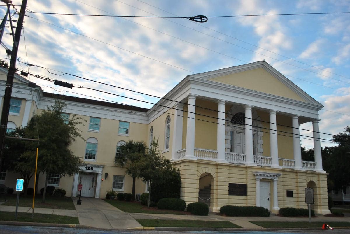
Photo: Wikipedia
Strategic Assessment of Georgetown County
Meaningful friction. Expect exposure to either population pressure, blast zones, or natural disaster risk. Consider buying a retreat property.
What does the Strategic Assessment tell us?
Our Strategic Assessment grades tactical survivability of an area. Major population centers, military targets, fallout zones, natural disasters, and border exposure all drive risk — lower exposure means a more defensible position in a crisis.
This is heavily inspired by Joel Skousen's Strategic Relocation book. Highly recommended you checkout the book ($)What does this tell us?
Our Strategic Assessment grades tactical survivability of an area. Major population centers, military targets, fallout zones, natural disasters, and border exposure all drive risk — lower exposure means a more defensible position in a crisis.
This is heavily inspired by Joel Skousen's Strategic Relocation book. Highly recommended you checkout the book ($)Strategic Pillars

Key Distances
Strategic Assessment Analysis
Georgetown County, South Carolina, offers a compelling mix of coastal access and inland buffer that makes it a serious contender for relocation-minded individuals and families prioritizing resilience and self-sufficiency. Situated along the northern edge of the South Carolina coast, the county avoids the immediate density of Myrtle Beach while still providing proximity to essential infrastructure, including the Port of Georgetown and the major medical facilities of Conway and Charleston. For a reader weighing disaster readiness alongside quality of life, Georgetown County presents a strategic middle ground: close enough to urban resources for supply runs and employment, yet far enough from the highest-risk zones to offer a meaningful defensive posture.
Geographic position and natural advantages for long-term stability
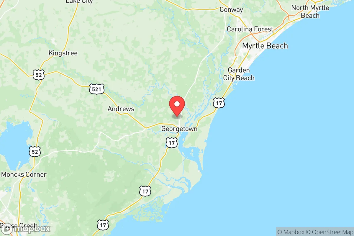
Georgetown County's geography is defined by its position along Winyah Bay and the Atlantic Ocean, with the Santee River forming its southern boundary and the Black and Pee Dee rivers cutting through its interior. This riverine network provides abundant freshwater access, a critical asset for any long-term self-sufficiency plan. The county's topography is low-lying but not flood-prone in all areas; higher ground exists inland around the towns of Andrews and Hemingway, which sit away from the immediate coastal surge zone. The county's 60-plus miles of coastline, including the popular beach communities of Pawleys Island and Litchfield Beach, offer recreational and economic value, but the real strategic advantage lies in the rural interior. The Francis Marion National Forest, though technically in neighboring Berkeley County, extends into the region's western edge, providing a vast, sparsely populated buffer and potential foraging or timber resource. The county's position roughly 90 miles north of Charleston and 25 miles south of Myrtle Beach means it is not a primary target for any large-scale disruption, yet it remains within a two-hour drive of two major population centers for resupply or medical evacuation.
Risk exposure and proximity to fallout-relevant landmarks
No resilience assessment is complete without an honest look at risks, and Georgetown County has several. The most immediate natural threat is hurricane storm surge, particularly for properties within a mile of the coast or along the Winyah Bay and Santee River floodplains. The county has experienced significant flooding from hurricanes like Hugo (1989) and Florence (2018), and sea-level rise is a long-term concern for beachfront communities. Inland areas around Georgetown city proper and the rural crossroads of Plantersville are less exposed but still vulnerable to river flooding during heavy rain events. On the man-made risk side, the county is home to the Georgetown Steel mill and the Port of Georgetown, which handles bulk commodities like cement and steel — these are not high-value targets in a national security scenario, but they could be secondary concerns if regional infrastructure is disrupted. The nearest major military installation is Marine Corps Recruit Depot Parris Island, roughly 120 miles south, and Joint Base Charleston, about 100 miles southwest. Neither is close enough to draw direct fallout to Georgetown County, but the county sits within the broader evacuation and logistics zone for the Charleston region, meaning road congestion on Highway 17 and Highway 701 could be severe during a regional crisis. The county's lack of any nuclear power plant, major refinery, or large-scale chemical facility within its borders is a net positive for fallout risk, though the Robinson Nuclear Plant near Hartsville is about 100 miles northwest — far enough to be irrelevant for direct exposure but worth noting for regional grid stability.
Practical resilience for a relocator: food, water, energy, and defensibility
For a family or individual serious about self-sufficiency, Georgetown County offers several structural advantages. Water is abundant: the county sits atop the Floridan Aquifer, and private wells are common in rural areas, with typical depths of 100 to 300 feet producing reliable yields. Municipal water in Georgetown city and the Waccamaw Neck area is treated and generally reliable, but a well with a hand pump or solar-powered backup is a realistic option for those on larger lots. Food resilience is strong due to the county's agricultural base: row crops like soybeans, corn, and wheat are grown inland, and the coastal waters provide year-round access to shrimp, crab, and finfish. The county's hunting seasons for deer and wild hog are well-established, and the Francis Marion National Forest offers public hunting access. For energy, the county is served by Santee Cooper and Duke Energy, with a mix of coal, natural gas, and nuclear from the regional grid. Solar adoption is growing but not yet dominant; a relocator would benefit from installing a grid-tied solar array with battery backup, as net metering policies in South Carolina are favorable compared to many states. Defensibility is a mixed picture: the rural interior offers natural chokepoints along the river crossings and two-lane roads, but the county's long coastline and multiple river access points make it difficult to fully secure. A property set back from main roads, with a good well, solar panels, and a garden, would be far more defensible than a beachfront condo. The county's population density is low — roughly 60,000 residents across 815 square miles — meaning most areas are sparsely populated enough to avoid the chaos of a dense urban evacuation.
Overall, Georgetown County presents a balanced strategic picture for the resilience-minded relocator. It avoids the highest-risk coastal exposure of a place like Charleston or Myrtle Beach while retaining access to the ocean's resources and the inland's agricultural and water assets. The county's biggest weaknesses are hurricane surge along the coast and potential road congestion on the main evacuation routes, but these are manageable with proper site selection — specifically, choosing a property inland of Highway 17 and above the 20-foot elevation mark. For a family looking to establish a long-term, self-sufficient homestead within striking distance of medical care, supply chains, and employment, Georgetown County offers a realistic, low-drama option that doesn't require sacrificing modern convenience for preparedness. It is not a bug-out bunker location, but it is a solid, livable base for those who want to be ready without living in fear.

* Values derived from national, state, county, city and local statistics and may differ in a specific area. Last updated: 2026-06-16T00:22:57.000Z
Narrative content on this page is AI-generated and may contain mistakes. Verify any details that matter before acting on them.
ReloMaps may earn a commission from affiliate links at no extra cost to you.

