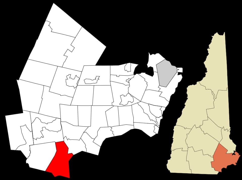
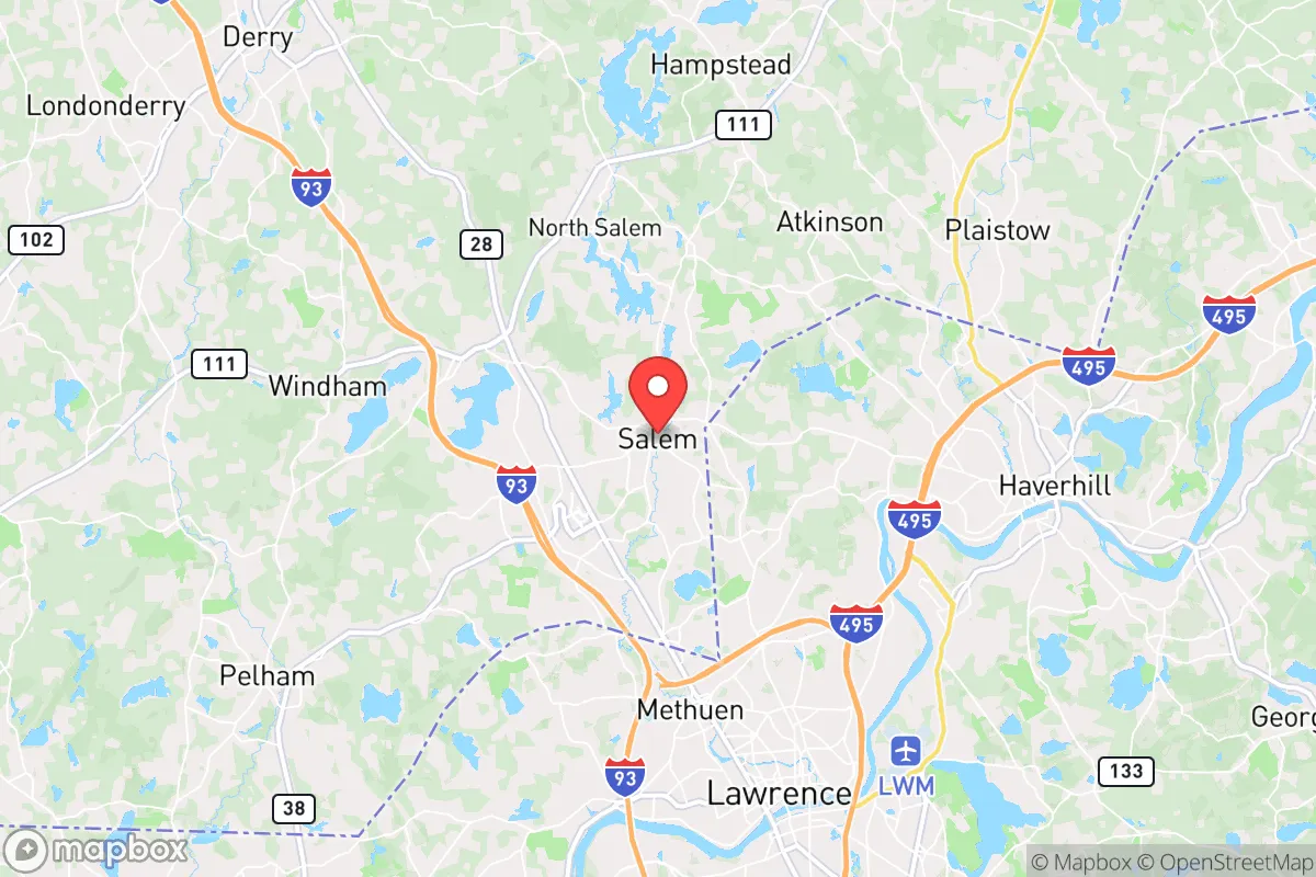
Photo: Wikipedia
Demographics of Salem, NH
Historical data isn't available for Salem, NH. Trends shown are for Rockingham County, NH.
Affluence Level in Salem, NH
An upper-middle-class area. Household wealth, education levels, and homeownership run ahead of national benchmarks.
People of Salem, NH
The people of Salem, New Hampshire today form a small, tight-knit community of 3,563 residents, characterized by a notably high educational attainment—45.7% hold a college degree—and a population that is overwhelmingly White (85.9%) but with a significant and distinct Indian-subcontinent community (3.8%) that stands out as the largest minority group. The town’s identity is shaped by its rural New England roots, a quiet suburban character, and a demographic profile that is both stable and gradually diversifying, particularly through the arrival of professional families drawn to the area’s schools and proximity to Boston. Despite its small size, Salem’s population is more educated and slightly more diverse than many neighboring towns, reflecting a shift toward a knowledge-worker and commuter base.
How the city was settled and grew
Salem’s original population was built by English colonists who arrived in the early 18th century, drawn by land grants from the Massachusetts Bay Colony—Salem was originally part of Massachusetts until the border was fixed in 1741. The town was incorporated in 1750, and its early economy revolved around subsistence farming, sawmills, and gristmills along the Spicket River. The first settlers clustered in what is now the Salem Depot area, near the intersection of modern Route 28 and the rail line, where the town’s first meetinghouse and tavern were built. A second wave of population growth came in the mid-19th century with the arrival of Irish immigrants, who worked on the Boston & Maine Railroad and settled in the North Salem district, near the Methuen line, where small Catholic parishes and working-class homes appeared. By 1900, Salem’s population had reached just over 1,000, and the town remained a quiet farming and mill community through the early 20th century, with French-Canadian families from Quebec adding to the mix in the South Salem area, where they worked in shoe factories and textile mills along the Spicket.
Modern era (post-1965)
The modern transformation of Salem’s population began after 1965, driven by the construction of Interstate 93, which connected the town directly to Boston and Manchester. This highway access triggered suburbanization, with families from Massachusetts—many of them Irish and Italian Catholic—moving north for larger lots and lower taxes. These new residents concentrated in the Hood Park and Salem Village subdivisions, built in the 1970s and 1980s, which remain predominantly White and middle-class today. The most notable demographic shift in the post-1965 era has been the arrival of Indian-subcontinent professionals, who began settling in Salem in the 1990s and 2000s, drawn by jobs in technology and healthcare in the Nashua-Manchester corridor. This community is concentrated in the Mall at Rockingham Park area and the newer developments off Route 28, where many families have purchased single-family homes. The Indian-subcontinent population now stands at 3.8%, making it the largest non-White group, while East/Southeast Asian residents (2.8%) and Hispanic residents (2.3%) are smaller but growing. The Black population remains very small at 1.2%, and the foreign-born share is just 2.6%, indicating that most diversity comes from U.S.-born minority families rather than recent immigration.
The future
Salem’s population is projected to grow slowly, with the town’s limited undeveloped land and strict zoning keeping new housing supply tight. The Indian-subcontinent community is likely to continue growing as professionals seek good schools and safe neighborhoods, but the overall population will remain overwhelmingly White and native-born. The town is becoming slightly more diverse, but the pace is gradual—Hispanic and East/Southeast Asian populations are expected to increase modestly, primarily through natural growth rather than new immigration. New residential development is concentrated in the Kelleys Corner area and along the Route 28 corridor, where townhouse and apartment complexes are attracting younger families and empty-nesters. The cultural identity of Salem is evolving from a rural Yankee town to a commuter suburb with a professional-class character, but it retains a conservative, family-oriented ethos that appeals to those seeking stability and low crime rates. The next 10-20 years will likely see Salem become slightly more diverse and more educated, but it will remain a predominantly White, middle-to-upper-middle-class community with a strong sense of local tradition.
For someone moving in now, Salem offers a stable, safe, and well-educated community where the population is slowly diversifying but remains culturally conservative and family-focused. The town is becoming a bedroom community for professionals working in the Boston-Nashua corridor, with a growing Indian-subcontinent professional class adding a new layer to its historic Yankee and Irish-French Canadian roots. It is not a place of rapid change or urban energy, but rather a quiet, orderly suburb where demographic shifts are incremental and the dominant values are privacy, property, and community.

* Values derived from national, state, county, city and local statistics and may differ in a specific area. Last updated: 2026-10-10T16:28:50.000Z
Narrative content on this page is AI-generated and may contain mistakes. Verify any details that matter before acting on them.
ReloMaps may earn a commission from affiliate links at no extra cost to you.

