
Photo by Zoshua Colah on Unsplash
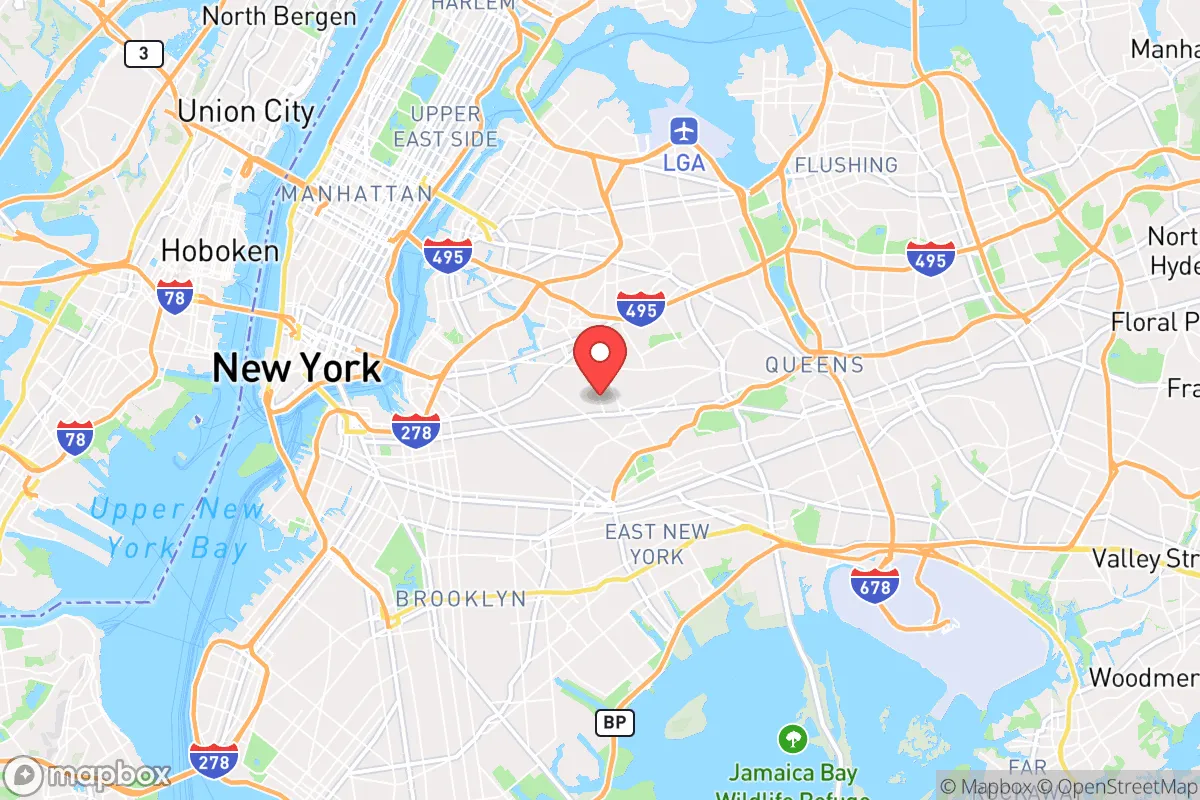
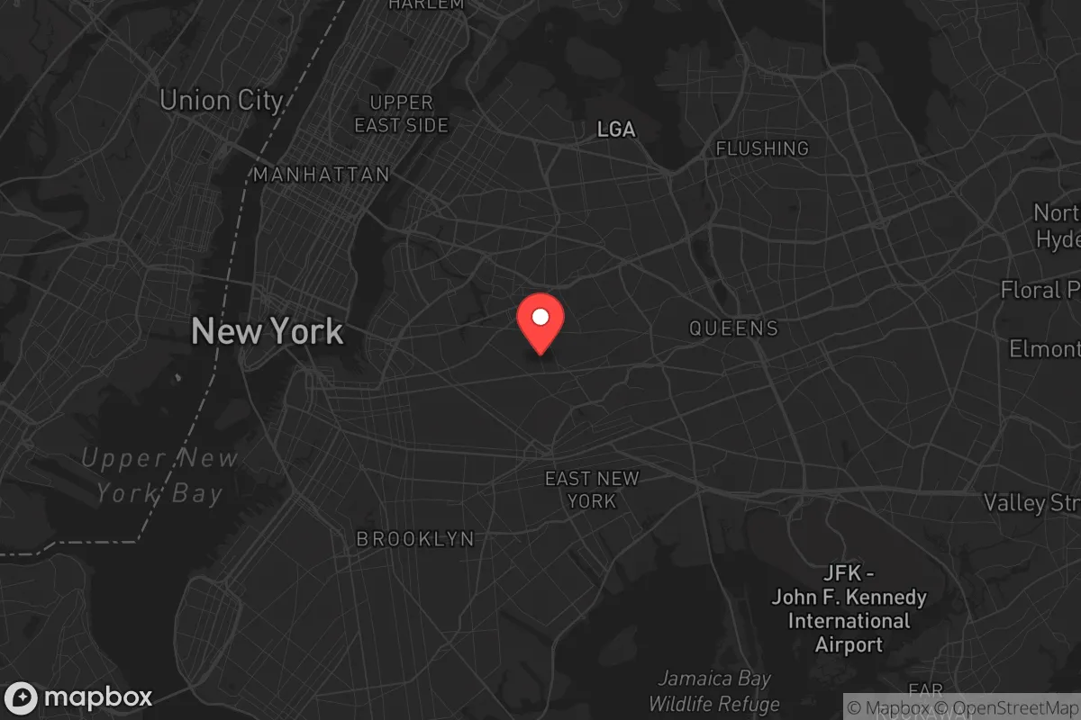
Strategic Assessment of Ridgewood, NY
High tactical risk. This location is likely close to major population centers, strategic targets, or sits in a high-disaster corridor. A retreat property and careful exit planning is required.
What does the Strategic Assessment tell us?
Our Strategic Assessment grades tactical survivability of an area. Major population centers, military targets, fallout zones, natural disasters, and border exposure all drive risk — lower exposure means a more defensible position in a crisis.
This is heavily inspired by Joel Skousen's Strategic Relocation book. Highly recommended you checkout the book ($)What does this tell us?
Our Strategic Assessment grades tactical survivability of an area. Major population centers, military targets, fallout zones, natural disasters, and border exposure all drive risk — lower exposure means a more defensible position in a crisis.
This is heavily inspired by Joel Skousen's Strategic Relocation book. Highly recommended you checkout the book ($)Strategic Pillars

Key Distances
Regional Safe Places
Below is our recommended "safe zones" in New York and the surrounding area based on our strategic heuristics. For most people, it's unrealistic to live in a “safe zone” full-time due to work, family or other personal reasons. They tend to be more rural. However, many of these areas are perfect for second homes and retreat properties that double as a vacation home or even a short-term rental.




Important Note: For informational purposes only. This does not mean nothing bad ever happens in the green zones. Please use common sense. This is based on public data and modeled with AI. We tried to take a conservative approach but mistakes happen. We update this regularly as new information becomes available.
Solar Generator Recommendations
Backup power matters more here than in safer locations. We've picked three solar generators across budgets and capacity tiers — start with the budget unit if you only need a few essentials, or step up if you want to run a fridge and HVAC for days at a time.

Jackery Portable Power Station Explorer 300
Budget OptionPower on the Go: Weighing only 11 lbs, it's convenient to set up and store with book-sized foldable solar panels

BLUETTI Portable Power Station AC180
Designed for both indoor and outdoor scenarios, AC180 is highly capable as it has a robost capacity and continuous output power.

EF ECOFLOW DELTA Pro Ultra Power Station
Upgraded PickEcoFlow DELTA Pro Ultra is a whole-home energy system designed to grow with your family. Integrated with the Smart Home Panel 2, it scales to meet your evolving energy needs — keeping your home powered, intelligent, and secure through every stage of life.
We earn a commission, at no additional cost to you.
Strategic Assessment Analysis
Ridgewood, New York, presents a complex strategic picture for the relocation-minded reader focused on resilience and self-sufficiency. While its dense urban fabric and proximity to Manhattan might seem at odds with preparedness goals, the neighborhood’s specific geographic position and historical infrastructure offer a set of distinct, if underappreciated, advantages. For the conservative-leaning individual or family who values community cohesion, practical skills, and a degree of separation from the highest-risk zones, Ridgewood warrants a serious, data-grounded look—not as a survivalist retreat, but as a surprisingly defensible urban node with real staying power.
Geographic position and natural advantages for daily life and crisis scenarios
Ridgewood sits on a subtle but meaningful elevation within western Queens, roughly 60 to 80 feet above sea level, which places it well above the flood-risk zones that plague much of coastal New York City. This elevation, combined with the area’s underlying geology of glacial till and bedrock, means that storm surge from the East River or Jamaica Bay is effectively a non-issue here—a critical distinction from neighborhoods like Howard Beach or the Rockaways. The neighborhood is also shielded from the worst of nor’easter winds by the higher terrain of the terminal moraine running through central Queens and Brooklyn. For the relocator, this translates to a lower probability of storm-related property damage, basement flooding, and prolonged power outages compared to low-lying areas. The natural drainage is generally good, and the area’s mature tree canopy, while not a wilderness buffer, does provide some cooling and windbreak effect during heat waves and storms. Ridgewood’s position also places it at the intersection of several major transportation corridors—the Long Island Rail Road’s Bushwick branch, the M train, and the BQE—which, while a double-edged sword for security, ensures that supply chains and evacuation routes remain functional longer than in more isolated or flood-prone parts of the region.
Risks, exposures, and proximity to fallout-relevant landmarks
The most significant risk for Ridgewood is its proximity to high-value, high-density targets in Manhattan and the Brooklyn Navy Yard, both within a 4- to 6-mile radius. In a major geopolitical crisis—nuclear exchange, large-scale terrorist attack, or EMP event—the neighborhood would likely experience secondary effects from blast overpressure, fallout drift, and the chaotic movement of millions of people fleeing the immediate impact zones. Ridgewood’s location directly adjacent to Bushwick and Williamsburg, both densely populated and with limited green space, means that a sudden evacuation or shelter-in-place scenario would be extremely challenging. The neighborhood is also within 2 miles of the Newtown Creek Superfund site, a heavily contaminated industrial waterway that could become a secondary hazard if infrastructure fails. On the man-made risk side, the area’s aging gas mains and electrical grid, while typical for New York, are vulnerable to cascading failures during extreme weather or cyberattacks. The presence of several large fuel storage terminals along the Newtown Creek and in nearby Maspeth adds a low-probability but high-consequence risk of fire or explosion. For the relocator, the key takeaway is that Ridgewood is not a remote safe haven—it is a front-line neighborhood that would require a robust personal preparedness plan, including multiple evacuation routes, a well-stocked go-bag, and a clear understanding of wind patterns for fallout avoidance.
Practical resilience for a relocator: food, water, energy, and defensibility
Where Ridgewood surprises is in its practical, day-to-day resilience infrastructure. The neighborhood is home to a dense network of small, family-owned grocery stores, bodegas, and ethnic markets—particularly along Myrtle Avenue and Fresh Pond Road—that are far more resilient than big-box supermarkets in a supply-chain disruption. These stores typically have local supply chains, cash-based operations, and community trust that keep them open when chain stores shutter. Water access is a mixed picture: the municipal supply from the Catskill/Delaware watershed is generally reliable, but Ridgewood’s older plumbing means that a prolonged outage would require residents to rely on stored water or nearby sources like the Ridgewood Reservoir, a 50-acre former water supply now a park, which could be a potential emergency water source with proper filtration. Energy resilience is weak in the short term—most homes are grid-dependent—but the neighborhood’s dense, attached housing stock (brick row houses and pre-war apartments) provides excellent thermal mass, meaning indoor temperatures stay stable for days without power. Defensibility is a nuanced advantage: Ridgewood’s street grid, with its narrow, tree-lined blocks and numerous dead-end alleys, creates a natural chokepoint environment that can be monitored and controlled by a prepared community. The area’s strong Eastern European and Hispanic populations have a culture of home gardening, food preservation, and neighborly mutual aid that is rare in modern New York. For the relocator, the practical play is to secure a unit with a backyard or basement for water storage and gardening, build relationships with local bodega owners, and invest in a solar generator and battery bank to cover the 2- to 5-day outages that are common here.
The overall strategic picture for Ridgewood is one of calculated trade-offs. It is not a bug-out location, nor is it a place for the unprepared. But for the reader who values urban access, community density, and a historically grounded neighborhood with real self-reliance potential, Ridgewood offers a compelling middle ground. Its elevation, local food networks, and defensible street layout provide a baseline of resilience that many suburban or exurban areas lack, while its proximity to major risks demands a serious commitment to preparedness. The neighborhood’s best strategic asset is its people—a diverse, working-class population with a strong sense of place and a history of weathering crises together. For the conservative-leaning relocator who wants to be part of a real community, not just a ZIP code, Ridgewood is worth a hard look, provided you come with eyes open, a plan in hand, and a willingness to invest in the relationships and infrastructure that make resilience real.

* Values derived from national, state, county, city and local statistics and may differ in a specific area. Last updated: 2026-10-01T11:40:57.000Z
Narrative content on this page is AI-generated and may contain mistakes. Verify any details that matter before acting on them.
ReloMaps may earn a commission from affiliate links at no extra cost to you.

