
Photo: Wikipedia
Strategic Assessment of Kent County
Multiple tactical vulnerabilities. Population density, target proximity, or disaster risk are likely compounding. A retreat property and exit planning is required.
What does the Strategic Assessment tell us?
Our Strategic Assessment grades tactical survivability of an area. Major population centers, military targets, fallout zones, natural disasters, and border exposure all drive risk — lower exposure means a more defensible position in a crisis.
This is heavily inspired by Joel Skousen's Strategic Relocation book. Highly recommended you checkout the book ($)What does this tell us?
Our Strategic Assessment grades tactical survivability of an area. Major population centers, military targets, fallout zones, natural disasters, and border exposure all drive risk — lower exposure means a more defensible position in a crisis.
This is heavily inspired by Joel Skousen's Strategic Relocation book. Highly recommended you checkout the book ($)Strategic Pillars

Key Distances
Strategic Assessment Analysis
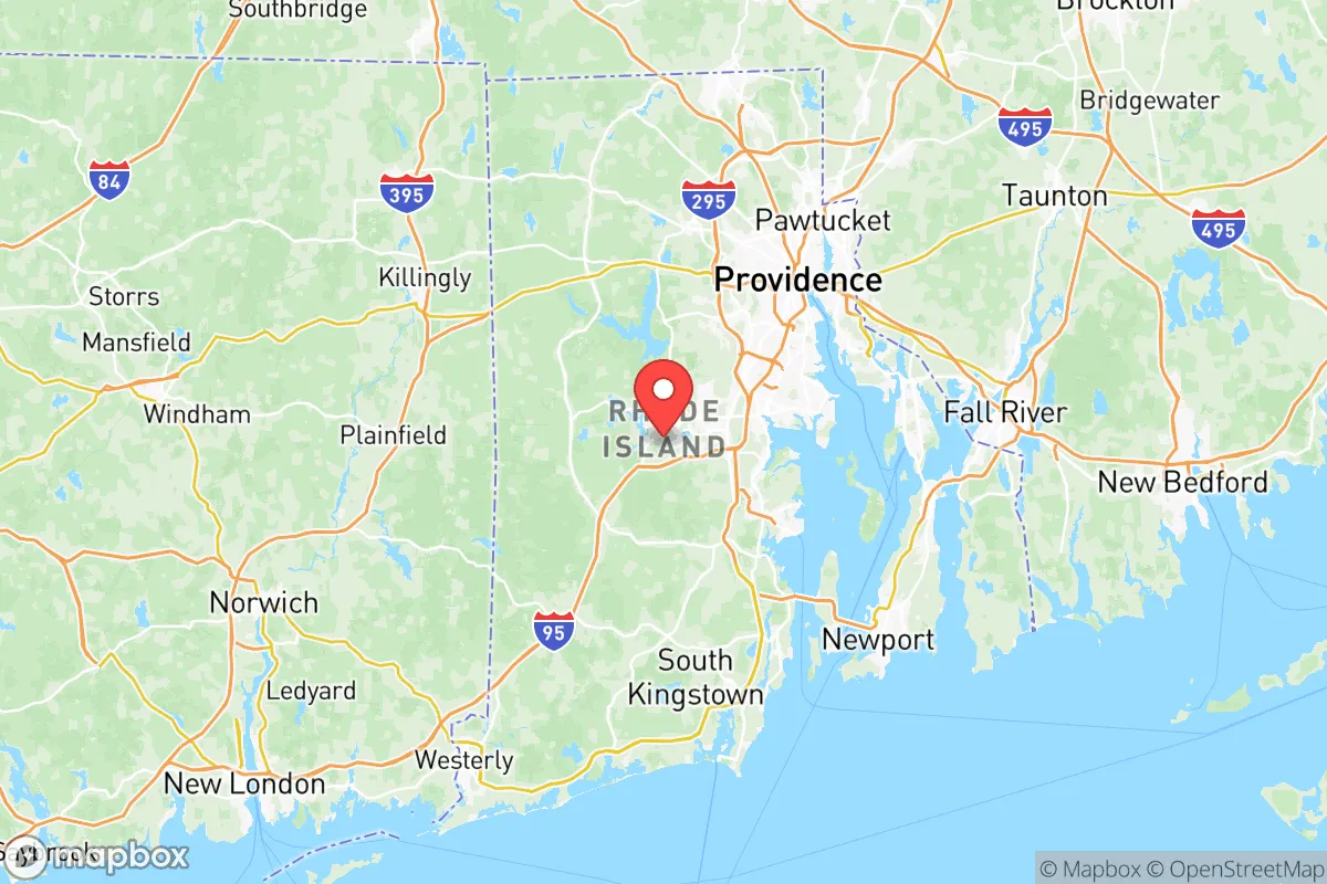
Kent County, Rhode Island, occupies a strategic middle ground in southern New England, offering a blend of coastal access, inland buffer zones, and proximity to critical infrastructure that makes it a noteworthy option for relocation-minded individuals and families prioritizing resilience and self-sufficiency. Situated between the urban density of Providence County to the north and the more rural, coastal communities of Washington County to the south, Kent County provides a practical balance of accessibility and relative isolation. Its position along Narragansett Bay and the Pawcatuck River watershed gives residents direct access to tidal waters and freshwater resources, while the county's interior towns—Coventry, West Warwick, and parts of Warwick—offer wooded, low-density neighborhoods that can support a more self-reliant lifestyle. For a reader evaluating disaster readiness, the county's mix of suburban infrastructure, agricultural land, and maritime access presents both opportunities and trade-offs that deserve careful consideration.
Geographic position and natural advantages for self-sufficiency
Kent County's geography is defined by its location on the western shore of Narragansett Bay, with the city of Warwick anchoring the eastern edge and the more rural town of Coventry stretching inland toward the Connecticut border. This east-west gradient is critical for resilience planning: the eastern half of the county, including Warwick and East Greenwich, is more developed and exposed to coastal storm surge, while the western half—Coventry, West Greenwich, and parts of Exeter—sits on higher ground with deeper soils and more forest cover. The Pawcatuck River and its tributaries, including the Moosup and Wood Rivers, provide reliable freshwater sources in the western towns, and the Big River Management Area, a 3,500-acre state forest in West Greenwich, offers a substantial block of undeveloped land suitable for hunting, foraging, and long-term water catchment. The county's average elevation rises from sea level along the bay to over 400 feet in the western hills, giving relocators in Coventry or West Greenwich a natural defensive advantage against storm surge and sea-level rise. Additionally, the area's proximity to Block Island Sound and the Atlantic Ocean means that maritime resources—fishing, seaweed harvesting, and coastal trade routes—remain accessible without requiring direct oceanfront exposure. For a family seeking a base that combines freshwater security, forested cover, and marine access, the western half of Kent County offers a compelling geographic profile.
Risks, exposures, and proximity to fallout-relevant landmarks
No resilience assessment of Kent County is complete without acknowledging its proximity to several high-value targets and natural hazard zones that could complicate a long-term self-sufficiency plan. The most immediate concern is the county's adjacency to Providence, a major urban center and regional transportation hub that includes the Port of Providence, a deepwater port handling petroleum, chemicals, and bulk cargo. A disruption at the port—whether from natural disaster, infrastructure failure, or geopolitical event—could ripple through Kent County's supply chains, particularly for fuel and manufactured goods. Additionally, the county lies within roughly 30 miles of Naval Station Newport in neighboring Newport County, a major U.S. Navy installation that houses the Naval War College and significant communications and intelligence infrastructure. While the base itself is a potential target, its presence also means that the surrounding region may experience heightened military traffic, electronic warfare testing, or security cordons during a crisis. On the natural hazard side, Kent County faces moderate risk from hurricanes and nor'easters, with storm surge zones extending into low-lying areas of Warwick and East Greenwich along the Pawtuxet River. The county's interior towns are less exposed to surge but remain vulnerable to inland flooding from heavy rainfall, particularly along the Pawcatuck River floodplain in Coventry. For a relocator weighing these risks, the key takeaway is that the western half of the county—Coventry, West Greenwich, and Exeter—offers significant distance from both coastal surge and the most likely man-made targets, while still being close enough to access emergency services and supply routes if needed.
Practical resilience for a relocator: food, water, energy, and defensibility
For a family or individual serious about self-sufficiency, Kent County's practical resilience infrastructure is a mixed picture that rewards careful site selection. Water availability is generally strong in the western towns, where private wells are common and groundwater recharge rates are adequate for household use and small-scale irrigation. The Big River Management Area and the Arcadia Management Area in nearby Exeter provide large, protected watersheds that can serve as emergency water sources, though treatment would be necessary. Food production potential is moderate: the county has a handful of active farms—primarily in Coventry and West Greenwich—that produce hay, vegetables, and livestock, but the agricultural base is not as robust as in Rhode Island's Washington County or neighboring Connecticut's Windham County. Relocators should plan to establish their own vegetable gardens and, if space allows, small livestock operations (chickens, goats, or rabbits) to supplement local food availability. Energy resilience is a notable weak point: Kent County is served by National Grid's electric grid, which is vulnerable to storm-related outages, and there is no significant local renewable energy generation beyond scattered residential solar installations. A relocator should budget for a backup generator, battery storage, or a small solar array with battery backup to maintain power during extended outages. Defensibility varies dramatically by town: Warwick and West Warwick are densely populated and offer little natural cover, while Coventry and West Greenwich feature winding rural roads, dense forest, and long driveways that provide natural screening and chokepoints. The town of Coventry, in particular, has a mix of large-lot zoning (many parcels are 2–5 acres or larger) and limited through-traffic, making it one of the more defensible locations in the county. For a relocator prioritizing practical resilience, the optimal strategy is to target a property in western Coventry or West Greenwich with a private well, south-facing roof for solar, and at least 3–5 acres of wooded or agricultural land.
Overall, Kent County presents a strategic trade-off for the resilience-minded relocator: it offers genuine geographic advantages in its western towns—freshwater security, forest cover, elevation, and distance from the most obvious man-made targets—but it sits within a region that is heavily influenced by the urban and military infrastructure of Providence and Newport. The county is not a remote wilderness retreat, nor is it a high-risk urban corridor; it is a middle-ground location that rewards deliberate property selection and advance preparation. For a family willing to invest in a well, solar, and a defensible rural property in Coventry or West Greenwich, Kent County can serve as a viable base for long-term self-sufficiency, with the added benefit of being within a few hours' drive of the broader New England food and trade network. For those seeking absolute isolation or a zero-risk profile, the county's proximity to coastal and urban targets will be a disqualifying factor. But for the reader who wants a realistic, balanced option with genuine resilience potential, Kent County deserves a place on the short list.

* Values derived from national, state, county, city and local statistics and may differ in a specific area. Last updated: 2026-07-01T17:05:23.000Z
Narrative content on this page is AI-generated and may contain mistakes. Verify any details that matter before acting on them.
ReloMaps may earn a commission from affiliate links at no extra cost to you.

