Photo: Wikipedia
Strategic Assessment of Pleasant Hill, MO
Meaningful friction. Expect exposure to either population pressure, blast zones, or natural disaster risk. Consider buying a retreat property.
What does the Strategic Assessment tell us?
Our Strategic Assessment grades tactical survivability of an area. Major population centers, military targets, fallout zones, natural disasters, and border exposure all drive risk — lower exposure means a more defensible position in a crisis.
This is heavily inspired by Joel Skousen's Strategic Relocation book. Highly recommended you checkout the book ($)What does this tell us?
Our Strategic Assessment grades tactical survivability of an area. Major population centers, military targets, fallout zones, natural disasters, and border exposure all drive risk — lower exposure means a more defensible position in a crisis.
This is heavily inspired by Joel Skousen's Strategic Relocation book. Highly recommended you checkout the book ($)Strategic Pillars

Key Distances
Regional Safe Places
Below is our recommended "safe zones" in Missouri and the surrounding area based on our strategic heuristics. For most people, it's unrealistic to live in a “safe zone” full-time due to work, family or other personal reasons. They tend to be more rural. However, many of these areas are perfect for second homes and retreat properties that double as a vacation home or even a short-term rental.


Important Note: For informational purposes only. This does not mean nothing bad ever happens in the green zones. Please use common sense. This is based on public data and modeled with AI. We tried to take a conservative approach but mistakes happen. We update this regularly as new information becomes available.
Solar Generator Recommendations
Backup power matters more here than in safer locations. We've picked three solar generators across budgets and capacity tiers — start with the budget unit if you only need a few essentials, or step up if you want to run a fridge and HVAC for days at a time.

Jackery Portable Power Station Explorer 300
Budget OptionPower on the Go: Weighing only 11 lbs, it's convenient to set up and store with book-sized foldable solar panels

BLUETTI Portable Power Station AC180
Designed for both indoor and outdoor scenarios, AC180 is highly capable as it has a robost capacity and continuous output power.

EF ECOFLOW DELTA Pro Ultra Power Station
Upgraded PickEcoFlow DELTA Pro Ultra is a whole-home energy system designed to grow with your family. Integrated with the Smart Home Panel 2, it scales to meet your evolving energy needs — keeping your home powered, intelligent, and secure through every stage of life.
We earn a commission, at no additional cost to you.
Strategic Assessment Analysis
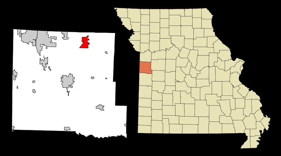
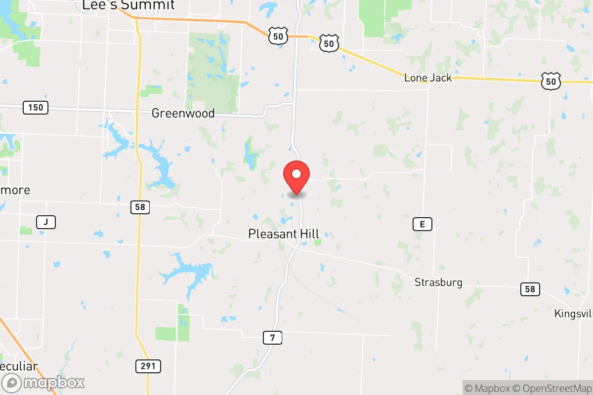
Pleasant Hill, Missouri, offers a compelling balance of rural self-sufficiency and strategic proximity to the Kansas City metro, making it a noteworthy option for those prioritizing disaster readiness and long-term resilience. Located in Cass County roughly 30 miles southeast of downtown Kansas City, the town sits at a geographic inflection point—close enough to access urban resources but far enough to avoid the worst of a major metropolitan collapse or fallout event. For a relocator thinking seriously about preparedness, Pleasant Hill’s position, infrastructure, and community character present both clear advantages and specific vulnerabilities that demand a grounded, unsentimental assessment.
Geographic position and natural advantages for self-sufficiency
Pleasant Hill’s primary resilience asset is its location on the western edge of the Missouri Ozarks, a region known for abundant groundwater, rolling hills, and relatively low population density. The town itself sits at an elevation of roughly 940 feet, with the surrounding Cass County terrain offering a mix of agricultural flatlands and wooded ridges. This topography provides natural drainage and reduces flood risk compared to river-bottom communities—the nearby Big Creek and South Grand River are modest waterways that rarely pose catastrophic flooding threats. The area’s karst geology, with limestone bedrock, supports reliable well water for those who drill deep enough (typically 100–300 feet), a critical factor for off-grid water security. Soils in the region are predominantly silt loam, suitable for small-scale farming and gardening, though clay content can be heavy in spots. The growing season runs roughly April through October, allowing for annual vegetable production and some fruit trees, though winters can be cold enough to challenge unheated greenhouses. For a family looking to establish a semi-self-sufficient homestead, the land around Pleasant Hill is workable without requiring extreme measures, and property prices remain moderate—typically $3,000–$6,000 per acre for raw land as of 2025, well below Johnson County or Jackson County equivalents.
Risks, exposures, and proximity to fallout-relevant landmarks
The most significant strategic drawback of Pleasant Hill is its proximity to the Kansas City metropolitan area, a population center of roughly 2.2 million people that would be a primary target in a major conflict or terrorist event. The town lies within 35 miles of Whiteman Air Force Base in Knob Noster, home to the B-2 Spirit stealth bomber fleet—a high-value military asset that would almost certainly be a first-strike target in a nuclear exchange. Whiteman is roughly 20 miles east-southeast of Pleasant Hill, placing the town within the moderate-to-severe fallout zone depending on wind patterns and warhead yield. Additionally, the nearby Truman Reservoir and the associated dam complex (about 25 miles southeast) could be a secondary target for infrastructure disruption. On the natural disaster front, the region sits squarely in Tornado Alley; Cass County averages 12–15 tornado warnings per year, and the May 2003 EF-4 tornado that struck nearby Franklin County serves as a reminder that violent storms are a recurring hazard. Earthquake risk is low but non-zero—the New Madrid Seismic Zone is 250 miles south, but a major event there could disrupt supply chains and river transport along the Missouri River corridor. For a relocator, the key takeaway is that Pleasant Hill’s rural character does not insulate it from man-made risks tied to its proximity to strategic military and urban infrastructure. A prudent preparedness plan here must account for both natural weather events and the possibility of regional evacuation or shelter-in-place scenarios following a distant detonation.
Practical resilience for a relocator: food, water, energy, and defensibility
For someone serious about self-sufficiency, Pleasant Hill offers a mixed but workable baseline. Water access is the strongest asset: the Ozark aquifer system provides reliable groundwater, and many existing rural properties already have private wells. Municipal water comes from the Missouri River via Kansas City’s system, which is vulnerable to contamination or disruption, so a well or rainwater catchment is essential for long-term independence. Food production is feasible but not effortless: the growing season is long enough for corn, beans, squash, tomatoes, and leafy greens, and local soil amendments (composted manure from nearby cattle operations) are readily available. Cass County has a strong agricultural base—corn, soybeans, and hay are the dominant crops—so bulk grain storage and livestock feed are accessible from local co-ops. Deer and turkey populations are healthy for hunting, and fishing in Big Creek and the South Grand River is decent for panfish and catfish. Energy resilience is a weak point: the grid is served by Evergy (formerly Kansas City Power & Light), which has experienced occasional storm-related outages lasting 24–72 hours. Solar potential is moderate—the region averages 200 sunny days per year, with peak production in June–August—but winter cloud cover can reduce output by 40–50%. A backup generator or battery system is advisable, and wood heating is practical given the abundance of oak and hickory in nearby woodlots. Defensibility is moderate: Pleasant Hill’s layout is a classic small-town grid with a central square, surrounded by low-density subdivisions and farmland. The town has a single main access route (MO-7) connecting to US-50 and I-49, which could become a chokepoint during evacuation. Rural properties with good road access and line-of-sight visibility are preferable to those tucked into hollows or creek bottoms. The local police department is small (roughly 10 officers), and Cass County Sheriff’s Office coverage is thin in outlying areas, so community watch and personal security measures are prudent. The town’s population of about 8,500 is stable and predominantly conservative, with a strong church and volunteer fire department presence—social cohesion that can be a resilience multiplier in a crisis.
Overall, Pleasant Hill presents a realistic, not romantic, picture for the disaster-conscious relocator. It avoids the extreme risks of direct urban proximity while still being close enough to benefit from Kansas City’s medical and logistical resources in a non-catastrophic scenario. The primary strategic liabilities—proximity to Whiteman AFB and the metro’s target profile—are real but manageable with a solid shelter plan and a willingness to evacuate east or south toward the Ozarks if necessary. For a family or individual willing to invest in well water, solar backup, and a storm shelter, Pleasant Hill offers a defensible, affordable base with decent agricultural potential and a community that values self-reliance. It is not a bug-out paradise in the remote Rockies, but it is a serious, workable option for someone who wants to be prepared without disappearing entirely from the modern world.

* Values derived from national, state, county, city and local statistics and may differ in a specific area. Last updated: 2026-10-03T18:54:29.000Z
Narrative content on this page is AI-generated and may contain mistakes. Verify any details that matter before acting on them.
ReloMaps may earn a commission from affiliate links at no extra cost to you.

