
Photo: Wikipedia
Strategic Assessment of Washington County
Meaningful friction. Expect exposure to either population pressure, blast zones, or natural disaster risk. Consider buying a retreat property.
What does the Strategic Assessment tell us?
Our Strategic Assessment grades tactical survivability of an area. Major population centers, military targets, fallout zones, natural disasters, and border exposure all drive risk — lower exposure means a more defensible position in a crisis.
This is heavily inspired by Joel Skousen's Strategic Relocation book. Highly recommended you checkout the book ($)What does this tell us?
Our Strategic Assessment grades tactical survivability of an area. Major population centers, military targets, fallout zones, natural disasters, and border exposure all drive risk — lower exposure means a more defensible position in a crisis.
This is heavily inspired by Joel Skousen's Strategic Relocation book. Highly recommended you checkout the book ($)Strategic Pillars

Key Distances
Strategic Assessment Analysis
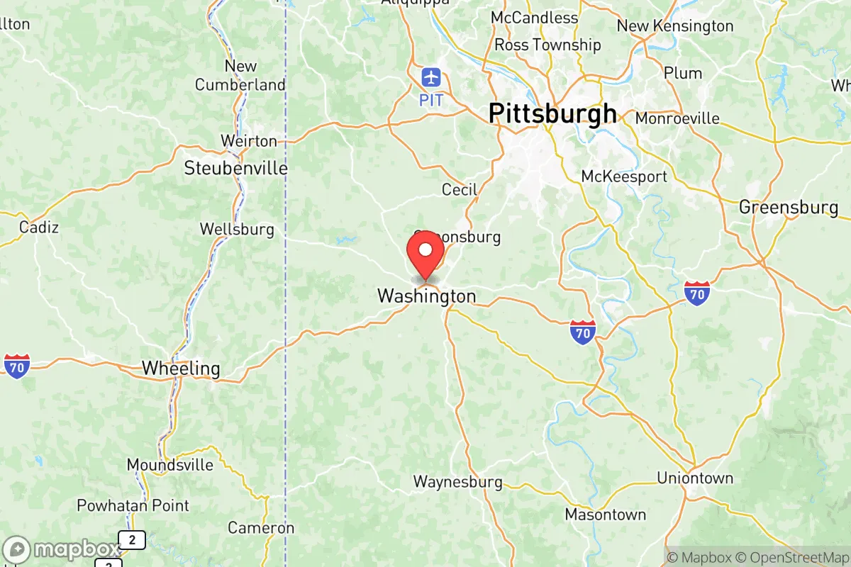
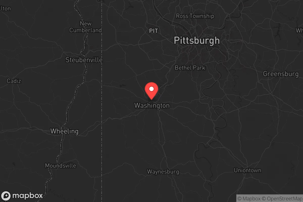
Washington County, Pennsylvania, offers a strategic mix of Appalachian ruggedness and Mid-Atlantic accessibility that makes it a serious contender for relocation-minded individuals and families. The county sits roughly 25 miles southwest of Pittsburgh, but its rolling hills and rural townships feel a world away from the urban core, providing a buffer that many preparedness-focused households seek. With a population hovering around 210,000 spread across 861 square miles, the area combines functional infrastructure with enough open space to support a self-reliant lifestyle without requiring a total retreat from civilization.
Geographic position and natural advantages for long-term stability
Washington County's topography is its first line of defense. The landscape rises from the Ohio River valley floor at roughly 700 feet to over 1,400 feet in the eastern townships near the Allegheny Plateau, offering natural elevation advantages and multiple defensible ridgelines. The county is drained by the Monongahela River along its eastern edge and the Ohio River along its northern border, with the panhandle of West Virginia just to the south and west. This positioning places it outside the immediate blast and fallout zones of major metropolitan targets while still being close enough to regional resources that supply chains remain functional.
The climate is continental with four distinct seasons — cold winters averaging 28°F in January and humid summers around 72°F in July — which supports both traditional agriculture and the kind of seasonal food preservation that matters for households building resilience. The county's 1,500+ farms produce corn, soybeans, hay, and livestock, with the agricultural heartland concentrated around the towns of Canonsburg, Washington, and Burgettstown. The presence of the Washington County Agricultural Fairgrounds in Washington, the county seat, signals a working rural economy rather than a purely exurban bedroom community.
Water is a genuine asset here. The Monongahela River provides a reliable surface water source, and the county sits atop the Moscow Formation aquifer, which yields decent well water in most townships. Unlike parts of the West facing chronic drought, Washington County averages 40 inches of precipitation annually, spread fairly evenly across the year. For a relocator thinking about water independence, this is a meaningful advantage — the region rarely faces the kind of multi-year shortages that plague other parts of the country.
Risk exposure and proximity to fallout-relevant infrastructure
No honest strategic assessment can ignore the region's industrial density. Washington County is part of the broader Pittsburgh metropolitan complex, which includes the Brentwood and Neville Island industrial corridors along the Ohio River, and the county itself hosts significant energy infrastructure. The Houston, PA area (pronounced HOW-ston, distinct from the Texas city) is home to a major Shell petrochemical cracker plant in neighboring Beaver County, roughly 20 miles north, which processes ethane from the Marcellus Shale. The county also has substantial natural gas compression stations and the MarkWest processing facility near Majorsville, just across the West Virginia line.
These facilities present a dual-edged reality. On one hand, they represent economic vitality and local energy independence — the county is a net producer of natural gas, which keeps heating costs manageable and reduces dependence on distant energy grids. On the other hand, a major industrial accident or a targeted disruption at these sites could create localized hazards. The Bruce Mansfield Power Plant (now largely decommissioned) in Shippingport and the active FirstEnergy coal and gas facilities along the Ohio River are additional points of consideration. For a relocator, the practical takeaway is this: avoid the river valleys immediately adjacent to industrial sites and choose property on the higher ground east of the Monongahela, where prevailing westerly winds would carry any plume away from your position.
Fallout exposure from a larger conflict scenario is moderate. Washington County sits outside the likely primary target rings for Pittsburgh's downtown core, but the presence of the Pittsburgh International Airport in nearby Moon Township and the Fort Pitt Army Depot (now a logistics hub) in the region means the broader metro area carries strategic value. The county's distance from the Ohio River's industrial concentration near East Liverpool, Ohio — about 30 miles west — provides a buffer, but households should still plan for the possibility of regional supply chain disruption rather than a direct hit.
Practical resilience for relocators: food, water, energy, and defensibility
For a family or individual serious about preparedness, Washington County delivers on the fundamentals. The local food system is robust: in addition to the county's farms, there are active farmers' markets in Washington, Canonsburg, and McMurray, plus a strong network of roadside stands and CSAs in the rural townships. The Washington County Food Bank network and the presence of multiple wholesale distributors along the I-79 corridor mean that even in a disruption scenario, the county's position as a regional agricultural hub would likely keep food moving. For those wanting to grow their own, the growing season runs roughly 160 days from mid-April to mid-October, and the soil in the eastern half of the county is generally well-drained silt loam — workable for a serious garden.
Energy resilience is a standout feature. The county's position in the Marcellus Shale play means natural gas is abundant and relatively cheap, and many rural properties can be equipped with a gas-fired generator that runs indefinitely on a wellhead or a large propane tank. Solar potential is moderate — the region gets about 4.0 peak sun hours per day, less than the Southwest but workable with a properly sized array and battery storage. The bigger advantage is the county's electric grid, which is served by Duquesne Light and West Penn Power; both have invested in grid hardening after the 2012 derecho and 2020 storms, and rural outages are typically measured in hours rather than days.
Defensibility comes down to property selection. The county's rural townships — Donegal, Nottingham, and West Finley — offer larger parcels (5-20 acres are common) with limited road access points, which is a practical advantage for security-minded households. The terrain's rolling hills and tree lines provide natural cover, and the county's low crime rate (roughly 1.8 violent crimes per 1,000 residents, well below the national average) means the threat environment is more about preparedness than active danger. The Washington County Courthouse in the county seat anchors a functioning local government, and the county's emergency management office maintains a well-regarded alert system for severe weather and industrial incidents.
The overall strategic picture for Washington County is one of balanced resilience. It lacks the dramatic isolation of a mountain redoubt or the self-contained infrastructure of a dedicated survivalist community, but it offers something arguably more valuable: a functioning, economically diverse region where preparedness is practical rather than paranoid. The county's proximity to Pittsburgh's medical and logistical resources is a genuine asset — UPMC Washington Hospital and Canonsburg Hospital provide quality care within 20 minutes of most residences. For a relocator weighing the tradeoffs, Washington County represents a middle path: close enough to civilization to thrive, far enough to breathe, and grounded in a working landscape that has supported self-sufficient households for over two centuries. The risks are real but manageable, and the advantages — water, energy, food, and community — are the ones that matter most when the unexpected arrives.

* Values derived from national, state, county, city and local statistics and may differ in a specific area. Last updated: 2026-11-01T08:21:32.000Z
Narrative content on this page is AI-generated and may contain mistakes. Verify any details that matter before acting on them.
ReloMaps may earn a commission from affiliate links at no extra cost to you.

