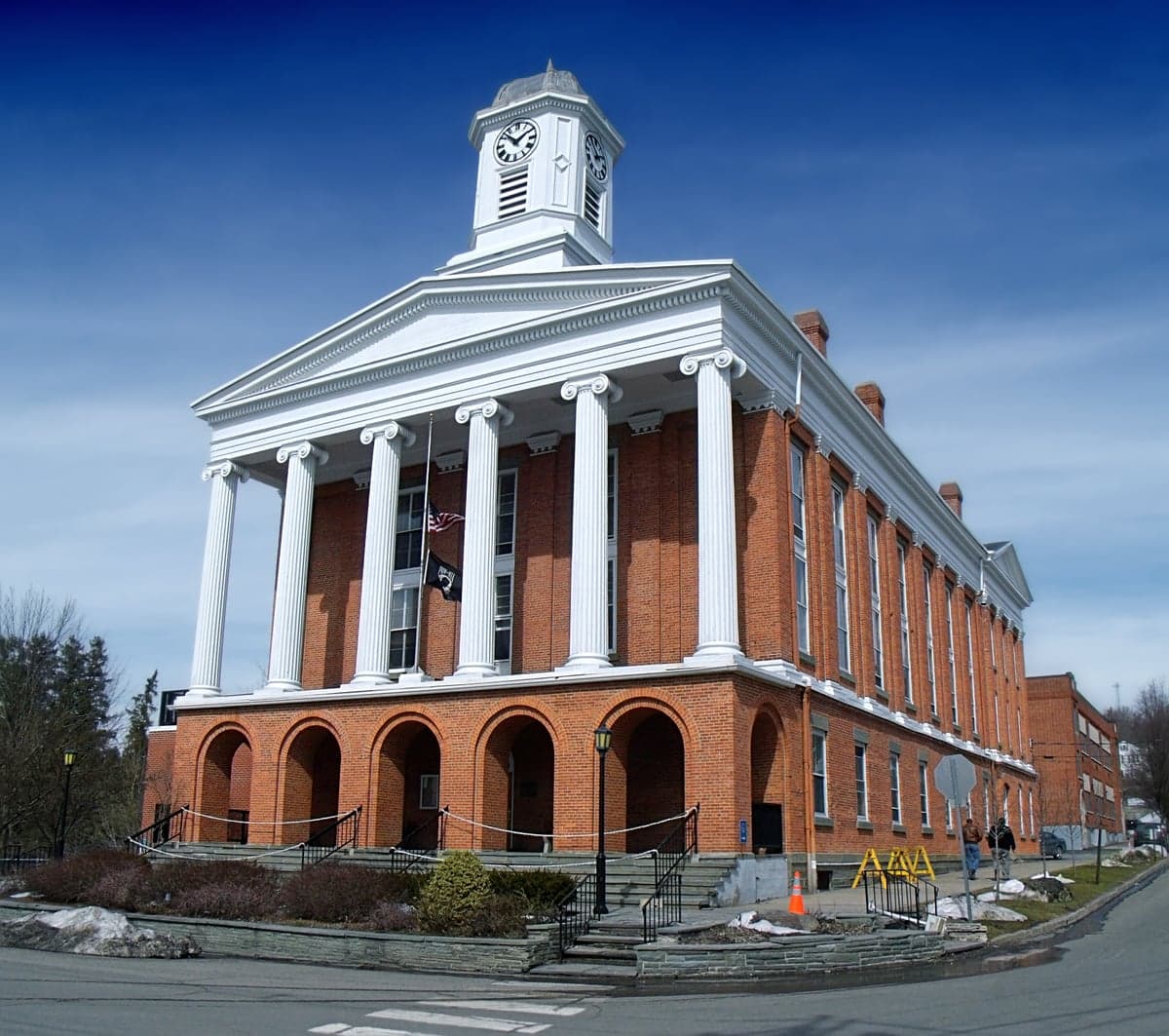
Photo: Wikipedia
Strategic Assessment of Susquehanna County
Meaningful friction. Expect exposure to either population pressure, blast zones, or natural disaster risk. Consider buying a retreat property.
What does the Strategic Assessment tell us?
Our Strategic Assessment grades tactical survivability of an area. Major population centers, military targets, fallout zones, natural disasters, and border exposure all drive risk — lower exposure means a more defensible position in a crisis.
This is heavily inspired by Joel Skousen's Strategic Relocation book. Highly recommended you checkout the book ($)What does this tell us?
Our Strategic Assessment grades tactical survivability of an area. Major population centers, military targets, fallout zones, natural disasters, and border exposure all drive risk — lower exposure means a more defensible position in a crisis.
This is heavily inspired by Joel Skousen's Strategic Relocation book. Highly recommended you checkout the book ($)Strategic Pillars

Key Distances
Strategic Assessment Analysis
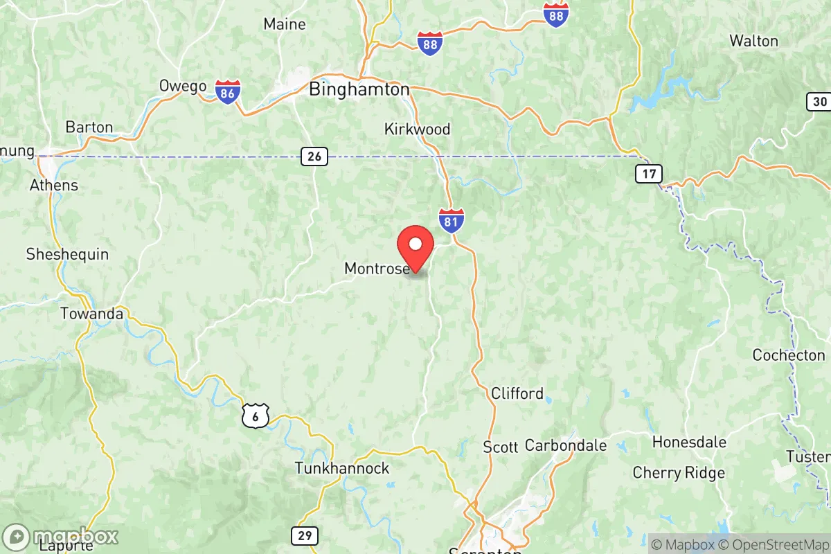
Susquehanna County, Pennsylvania, offers a compelling strategic profile for relocation-minded individuals and families prioritizing resilience, self-sufficiency, and distance from major metropolitan vulnerabilities. Situated in the Endless Mountains region of northeastern Pennsylvania, the county combines low population density—roughly 40,000 residents spread over 830 square miles—with significant natural barriers and a location that places it outside the immediate fallout zones of major East Coast targets. Its position roughly 130 miles from Philadelphia and 150 miles from New York City provides a meaningful buffer against the immediate effects of a large-scale disruption, while still allowing access to regional resources in Scranton (about 30 miles south) and Binghamton, New York (about 20 miles north).
Geographic position and natural advantages for long-term security
Susquehanna County’s geography is its primary strategic asset. The county sits within the Appalachian Plateau, characterized by steep ridges, deep valleys, and extensive forest cover—roughly 60% of the land is wooded. This terrain naturally limits large-scale movement and provides numerous defensible homestead sites, particularly in the northern and eastern townships like Forest Lake Township and Great Bend Township. The county is bisected by the Susquehanna River, which flows southward, and contains numerous smaller tributaries, including the Wyalusing Creek and the Tunkhannock Creek, offering reliable surface water sources. The region’s elevation, averaging 1,200 to 1,800 feet, reduces flood risk compared to lower-lying areas along the main stem of the Susquehanna. The county’s rural character means that critical infrastructure—power lines, water treatment plants, and fuel depots—is dispersed rather than concentrated, reducing the likelihood of a single point of failure. The nearest major military installation is the Fort Drum area in New York (about 120 miles north), but the county itself hosts no significant strategic targets, which lowers its risk profile in a conflict scenario.
Risks, exposures, and proximity to fallout-relevant landmarks
While Susquehanna County benefits from distance, it is not immune to risks. The most significant man-made threat is the Susquehanna Steam Electric Station, a nuclear power plant located in Salem Township, just south of the county line in Luzerne County. This facility, which generates over 2,500 megawatts, is roughly 15 miles from the county’s southern border. A major accident or attack at this plant could create a fallout plume affecting southern Susquehanna County, particularly communities like New Milford and Montrose, depending on wind patterns. Additionally, the county lies within 50 miles of the PPL Susquehanna transmission corridor, a high-voltage grid that could be a target for sabotage. On the natural hazard side, the region is prone to ice storms and heavy snowfall—average annual snowfall is 60-80 inches—which can disrupt power and transportation for days. The county’s hilly terrain also creates localized flash flood risks in valleys, especially along the Susquehanna River near Lanesboro and Hallstead. However, the county has no major refineries, ports, or chemical plants, and the nearest major industrial corridor is the Lehigh Valley (Allentown-Bethlehem-Easton), about 90 miles south. For a relocator concerned with fallout from a nuclear exchange, Susquehanna County’s position outside the 100-mile radius of New York City and Philadelphia is a meaningful advantage, though the nuclear plant remains a local variable.
Practical resilience for a relocator: food, water, energy, and defensibility
For those serious about self-sufficiency, Susquehanna County offers strong fundamentals. Water availability is excellent: the county has over 200 lakes and ponds, plus numerous streams and springs. Most rural properties rely on private wells, which average 100-300 feet deep and tap into the Catskill Formation aquifer, known for reliable yields. Surface water is abundant but requires treatment—boiling or filtration—for safe consumption. Food production capacity is high: the county has over 1,200 farms, many producing dairy, hay, corn, and vegetables. The growing season is short (roughly 120-140 frost-free days), but cold-hardy crops like potatoes, apples, and root vegetables thrive. Local food infrastructure includes the Montrose Farmers Market and several CSAs, but a relocator should plan to establish a garden and secure seed stock. Energy resilience is moderate: the grid is served by PPL Electric Utilities, with frequent outages during storms. Solar potential is decent—the county receives about 4.5 peak sun hours per day—but winter cloud cover reduces output. Wood heating is common; the county’s forests provide ample firewood, and many homes have wood stoves or boilers. Propane is widely used for heating and cooking, with local suppliers in Montrose and Susquehanna Depot. Defensibility is a mixed picture: the terrain offers natural chokepoints, but the county’s road network is sparse, with only two major highways—Interstate 81 running north-south along the western edge and U.S. Route 11 paralleling the Susquehanna River. Rural roads are narrow and winding, which can impede both movement and escape. The county has a low crime rate (violent crime is roughly 1.5 per 1,000 residents, well below the national average), but the nearest hospitals are in Scranton and Binghamton, about 30-40 minutes away, which is a consideration for medical emergencies.
Overall, Susquehanna County presents a balanced strategic picture for a relocator focused on resilience. Its strengths—abundant water, forest resources, low population density, and distance from major targets—are offset by the presence of a nuclear plant 15 miles away and a harsh winter climate that tests infrastructure. For a family or individual willing to invest in off-grid capabilities (solar, wood heat, well water, and food storage), the county offers a defensible, resource-rich environment that is unlikely to be a primary target in a major conflict. The key is to choose a location north of the nuclear plant’s potential plume zone—towns like Montrose, Forest City, and Thompson are better positioned than southern communities near the plant. With careful site selection and preparation, Susquehanna County can serve as a long-term haven for those prioritizing security and self-reliance over convenience and connectivity.

* Values derived from national, state, county, city and local statistics and may differ in a specific area. Last updated: 2026-11-18T06:27:31.000Z
Narrative content on this page is AI-generated and may contain mistakes. Verify any details that matter before acting on them.
ReloMaps may earn a commission from affiliate links at no extra cost to you.

