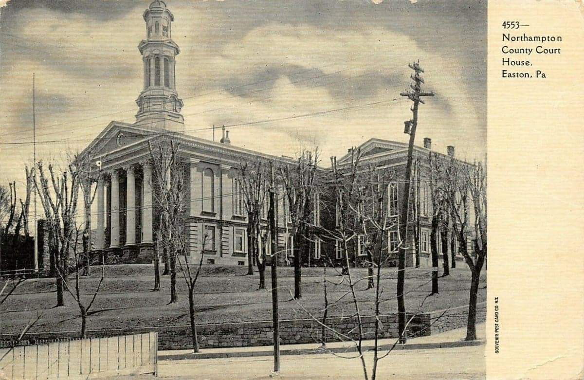
Photo: Wikipedia
Strategic Assessment of Northampton County
Multiple tactical vulnerabilities. Population density, target proximity, or disaster risk are likely compounding. A retreat property and exit planning is required.
What does the Strategic Assessment tell us?
Our Strategic Assessment grades tactical survivability of an area. Major population centers, military targets, fallout zones, natural disasters, and border exposure all drive risk — lower exposure means a more defensible position in a crisis.
This is heavily inspired by Joel Skousen's Strategic Relocation book. Highly recommended you checkout the book ($)What does this tell us?
Our Strategic Assessment grades tactical survivability of an area. Major population centers, military targets, fallout zones, natural disasters, and border exposure all drive risk — lower exposure means a more defensible position in a crisis.
This is heavily inspired by Joel Skousen's Strategic Relocation book. Highly recommended you checkout the book ($)Strategic Pillars

Key Distances
Strategic Assessment Analysis
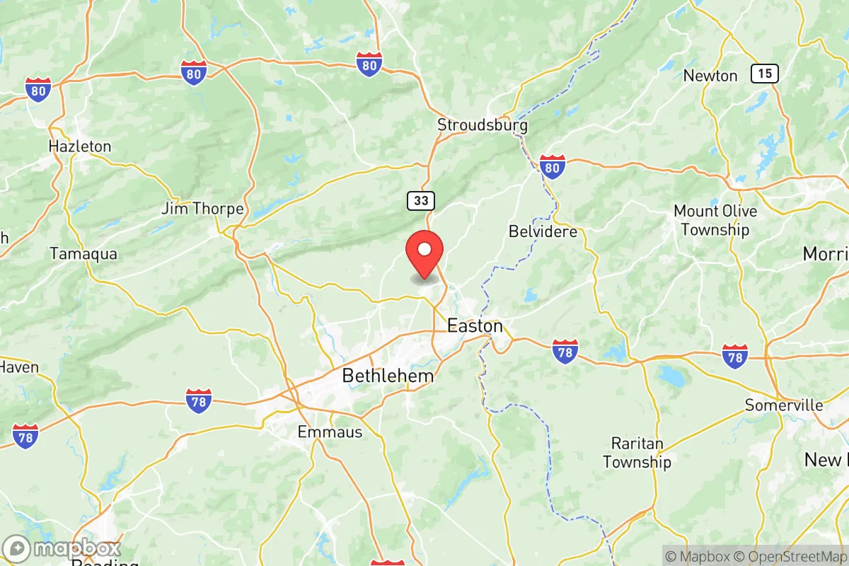
Northampton County, Pennsylvania, offers a compelling mix of strategic depth and practical resilience for those prioritizing disaster readiness and long-term self-sufficiency, particularly when compared to the dense urban corridors of the Northeast. Its position along the Lehigh River, roughly 60 miles north of Philadelphia and 70 miles west of New York City, provides a meaningful buffer from the immediate fallout zones of major metropolitan targets while still granting access to regional supply chains. The county’s rolling hills, abundant farmland, and established small-town infrastructure—anchored by the cities of Bethlehem, Easton, and Nazareth—create a defensible geography that balances rural seclusion with functional connectivity.
Geographic position and natural advantages for disaster readiness
Northampton County sits within the Lehigh Valley, a region defined by the Blue Mountain ridge to the north and the South Mountain range to the south. This natural bowl provides a degree of topographic shielding from blast overpressure and prevailing wind patterns that might carry fallout from coastal targets. The county’s elevation ranges from roughly 200 feet along the Delaware River in Easton to over 1,600 feet on the Blue Mountain ridgeline, offering numerous high-ground positions for observation and communication. The Delaware River forms the eastern border, while the Lehigh River cuts through the center, providing dual water sources that are less likely to be simultaneously contaminated. The area’s karst geology—limestone and dolomite bedrock—supports reliable groundwater aquifers, a critical asset for well-dependent properties. Unlike the flat, flood-prone terrain of the coastal plain, Northampton County’s hills and valleys offer natural drainage and multiple defensible chokepoints, particularly along the narrow river gaps near Wind Gap and Delaware Water Gap.
Risks, exposures, and proximity to fallout-relevant landmarks
While Northampton County avoids the highest-risk zones, it is not without significant exposures. The county lies within 100 miles of Philadelphia and Newark, both high-priority nuclear targets due to their ports, refineries, and population density. The PPL Martins Creek Power Plant, a natural gas facility in the southeastern corner of the county, is a potential secondary target or industrial accident site. More critically, the Lehigh Valley International Airport (ABE) in Hanover Township is a regional logistics hub that could draw attention in a conflict scenario. The county also hosts several large industrial parks, including the Bethlehem Commerce Center (formerly Bethlehem Steel), which contains active rail and trucking infrastructure. On the natural risk side, the region is in a moderate seismic zone—rare but not impossible—and the Lehigh River has a history of flooding, particularly in Easton and Bethlehem’s South Side. The county’s proximity to Interstate 78 and Route 33 means that evacuation routes could become congested quickly, though the network of secondary roads through the rural townships (e.g., Bushkill Township, Lower Mount Bethel Township) offers alternative paths.
Practical resilience for a relocator: food, water, energy, and defensibility
For a relocator serious about self-sufficiency, Northampton County presents a mixed but workable picture. Food security is strong: the county has over 400 farms, with significant production of corn, soybeans, hay, and livestock. The Easton Farmers’ Market (the oldest continuous open-air market in the U.S.) and numerous CSA programs provide local food access, and the region’s Amish and Mennonite communities in neighboring Lehigh and Berks counties offer reliable, off-grid food networks. Water availability is excellent—the county sits atop the Newark Basin aquifer system, and many rural properties have access to deep wells with yields of 10–30 gallons per minute. Surface water from the Delaware and Lehigh rivers is abundant but requires filtration and treatment. Energy resilience is a concern: the grid is served by PPL Electric Utilities, which has a mixed reliability record during storms. However, the county’s hilly terrain is suitable for small-scale hydro and wind, and solar access is good on south-facing slopes. The PPL Martins Creek plant provides a local natural gas supply, but reliance on it is a vulnerability. Defensibility is the county’s strongest suit. The Blue Mountain ridge acts as a natural barrier to the north, and the river valleys create natural funnels that can be monitored. The rural townships—Plainfield Township, Washington Township, Lehigh Township—offer low population density (under 200 people per square mile) and a culture of hunting and firearms ownership, which supports community defense. The county’s Northampton County Sheriff’s Office and local police departments are professional but stretched thin in remote areas, meaning self-reliance is expected.
The overall strategic picture for Northampton County is one of calculated advantage. It avoids the highest-risk coastal zones while retaining access to the Northeast’s economic and logistical backbone. Its natural geography—hills, rivers, and farmland—provides a defensible, resource-rich environment that supports long-term self-sufficiency. The primary trade-offs are proximity to Philadelphia and New York (a moderate fallout risk) and the presence of industrial infrastructure that could become secondary targets. For a relocator willing to invest in well water, solar backup, and community ties in the rural townships, Northampton County offers a balanced, livable option that doesn’t require abandoning all modern conveniences. It’s not a bunker—it’s a strategic foothold in a region that could remain functional when the coasts cannot.

* Values derived from national, state, county, city and local statistics and may differ in a specific area. Last updated: 2026-06-22T21:42:36.000Z
Narrative content on this page is AI-generated and may contain mistakes. Verify any details that matter before acting on them.
ReloMaps may earn a commission from affiliate links at no extra cost to you.

