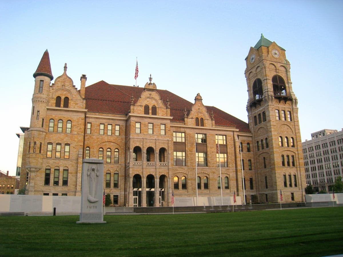
Photo: Wikipedia
Strategic Assessment of Lackawanna County
Meaningful friction. Expect exposure to either population pressure, blast zones, or natural disaster risk. Consider buying a retreat property.
What does the Strategic Assessment tell us?
Our Strategic Assessment grades tactical survivability of an area. Major population centers, military targets, fallout zones, natural disasters, and border exposure all drive risk — lower exposure means a more defensible position in a crisis.
This is heavily inspired by Joel Skousen's Strategic Relocation book. Highly recommended you checkout the book ($)What does this tell us?
Our Strategic Assessment grades tactical survivability of an area. Major population centers, military targets, fallout zones, natural disasters, and border exposure all drive risk — lower exposure means a more defensible position in a crisis.
This is heavily inspired by Joel Skousen's Strategic Relocation book. Highly recommended you checkout the book ($)Strategic Pillars

Key Distances
Strategic Assessment Analysis
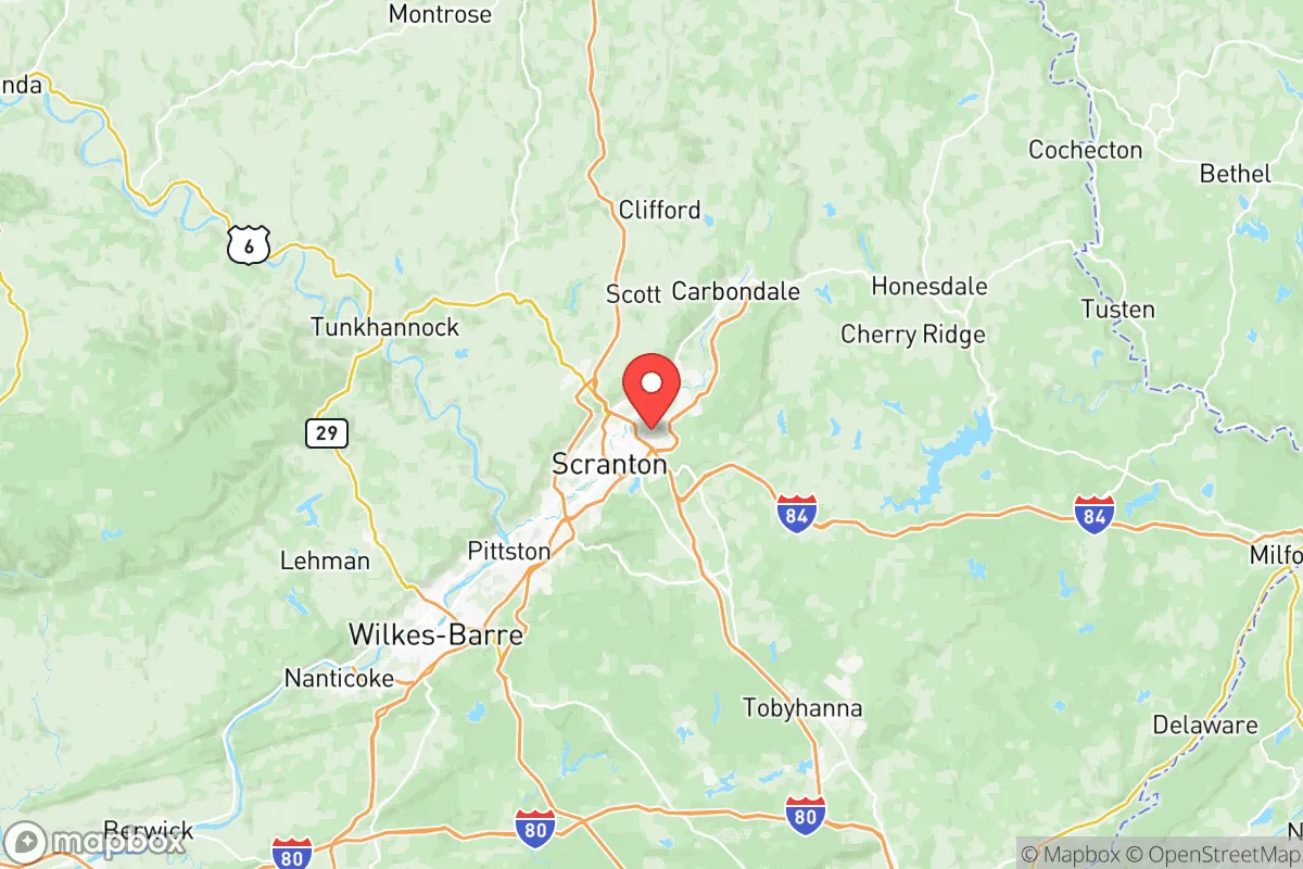
Lackawanna County, Pennsylvania, offers a strategic blend of geographic resilience and practical self-sufficiency that appeals to relocation-minded individuals and families with a conservative, preparedness-oriented outlook. Anchored by the city of Scranton and its surrounding boroughs like Dunmore and Moosic, the county sits in a region that has historically weathered economic shifts and natural challenges without losing its core character. Its position in the northeastern corner of the state, roughly 120 miles from both New York City and Philadelphia, provides a meaningful buffer from the immediate fallout risks of major metropolitan targets while still granting access to essential supply chains and medical infrastructure. For a relocator weighing disaster readiness and long-term stability, Lackawanna County presents a credible option—neither a remote bunker nor a vulnerable suburb, but a defensible middle ground with tangible advantages.
Geographic position and natural advantages for self-sufficiency
Lackawanna County’s topography is its first line of defense. The region sits within the Pocono Plateau and the Lackawanna River Valley, with elevations ranging from roughly 600 to 2,000 feet. This rolling, wooded terrain offers natural concealment and limits the spread of airborne contaminants compared to flat, open plains. The county is drained by the Lackawanna River, a tributary of the Susquehanna, which provides a reliable freshwater source—critical for any long-term resilience plan. The area’s climate is continental, with cold winters and moderate summers, which reduces the risk of extreme heat events and supports local food preservation through natural cold storage. The surrounding state game lands and forests, such as the 3,000-acre Lackawanna State Park near Dalton, offer hunting, foraging, and timber resources. For a family looking to establish a degree of self-sufficiency, the county’s mix of rural townships—like Newton and South Abington—and small cities provides options for acreage without complete isolation. The region’s history as a coal and rail hub also means a legacy of robust infrastructure, including redundant road networks like I-81, I-84, and I-380, which can serve as evacuation or resupply corridors even if primary routes are compromised.
Risks, exposures, and proximity to fallout-relevant landmarks
No strategic assessment is complete without acknowledging vulnerabilities. Lackawanna County’s primary man-made risk stems from its proximity to the New York City metropolitan area—roughly 120 miles southeast—and the Philadelphia metro area, about 130 miles south. In a major nuclear or EMP event targeting the Northeast Corridor, prevailing westerly winds would carry fallout away from the county in most scenarios, but a direct strike on New York or Philadelphia could still deposit significant radioactive material depending on weather patterns. The county itself hosts no major military bases, refineries, or nuclear power plants, which is a net positive for a relocator seeking to avoid primary targets. However, the nearby Susquehanna Steam Electric Station (a nuclear plant) in Luzerne County, about 30 miles southwest, and the Bethlehem Steel legacy sites in the Lehigh Valley, roughly 60 miles south, are secondary concerns. The county’s industrial past left behind brownfields and Superfund sites—such as the Old Forge area and the Mayfield Superfund site—which pose localized contamination risks but are not strategic threats. Natural hazards include occasional flooding along the Lackawanna River and its tributaries, particularly in low-lying parts of Scranton and Olyphant, and winter storms that can disrupt power for days. Tornadoes are rare but not unheard of; the county averages one or two weak touchdowns per decade. Overall, the risk profile is moderate—lower than suburban New Jersey or coastal Delaware, but higher than rural Montana or the Upper Peninsula.
Practical resilience for a relocator: food, water, energy, and defensibility
For a family or individual serious about preparedness, Lackawanna County offers several concrete advantages. Water availability is strong: the Lackawanna River and numerous smaller creeks, combined with average annual rainfall of about 40 inches, mean that rainwater catchment and well drilling are viable options in most townships. Municipal water in Scranton and Dunmore is treated and reliable, but a backup well or spring-fed pond is a prudent addition. Food production is feasible: the county has a growing local farming community, with farmers’ markets in Scranton, Clarks Summit, and Dickson City, and the Pennsylvania Department of Agriculture supports small-scale livestock and vegetable operations. The growing season runs roughly from May to October, and cold-hardy crops like potatoes, apples, and root vegetables store well through winter. Energy resilience is mixed: the grid is served by PPL Electric Utilities and is generally stable, but winter storms can cause outages. Solar potential is moderate—about 4.5 peak sun hours per day—and many rural homes already have backup generators or wood stoves. The county’s wooded landscape provides ample firewood, and propane delivery is common in outlying areas. Defensibility is a key strength: the terrain—narrow valleys, steep ridges, and limited choke points—makes it difficult for large-scale movement through the area. A prepared group could secure a homestead in a township like Greenfield or Jefferson with good lines of sight and limited access roads. The local population is generally self-reliant and community-oriented, with a strong tradition of hunting, fishing, and firearms ownership—factors that support mutual aid in a crisis. The county’s law enforcement presence is modest but professional, and the Pennsylvania State Police provide backup from barracks in Dunmore and Gibson.
The overall strategic picture for Lackawanna County is one of balanced resilience. It is not a hardened bunker nor a high-risk target zone, but a region where a thoughtful relocator can build a sustainable, prepared life without extreme isolation. The county’s location offers a meaningful buffer from the worst fallout scenarios of the Northeast Corridor while retaining access to medical care, supply chains, and community networks. Its natural resources—water, timber, farmland—are sufficient for a family-scale operation, and its terrain provides inherent defensibility. The primary trade-offs are the moderate risk of winter storms and the secondary fallout exposure from distant metropolitan strikes, but these are manageable with basic preparedness measures. For a conservative-leaning individual or family seeking a place to settle with an eye toward long-term stability and self-sufficiency, Lackawanna County deserves serious consideration—not as a perfect refuge, but as a practical, defensible, and resource-rich option in a region that has already proven its ability to adapt and endure.

* Values derived from national, state, county, city and local statistics and may differ in a specific area. Last updated: 2026-10-03T23:41:37.000Z
Narrative content on this page is AI-generated and may contain mistakes. Verify any details that matter before acting on them.
ReloMaps may earn a commission from affiliate links at no extra cost to you.

