
Photo: Wikipedia
Strategic Assessment of Delaware County
Multiple tactical vulnerabilities. Population density, target proximity, or disaster risk are likely compounding. A retreat property and exit planning is required.
What does the Strategic Assessment tell us?
Our Strategic Assessment grades tactical survivability of an area. Major population centers, military targets, fallout zones, natural disasters, and border exposure all drive risk — lower exposure means a more defensible position in a crisis.
This is heavily inspired by Joel Skousen's Strategic Relocation book. Highly recommended you checkout the book ($)What does this tell us?
Our Strategic Assessment grades tactical survivability of an area. Major population centers, military targets, fallout zones, natural disasters, and border exposure all drive risk — lower exposure means a more defensible position in a crisis.
This is heavily inspired by Joel Skousen's Strategic Relocation book. Highly recommended you checkout the book ($)Strategic Pillars

Key Distances
Strategic Assessment Analysis
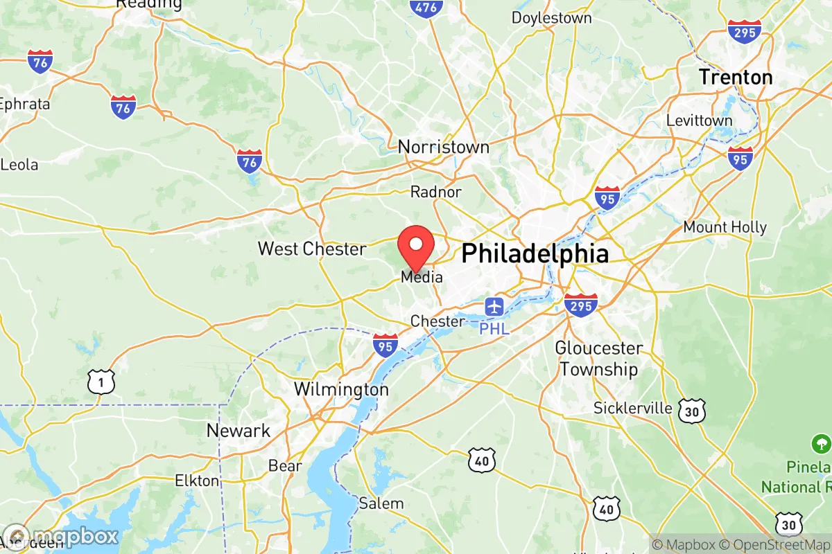
Delaware County, Pennsylvania, occupies a strategic position in the Mid-Atlantic region that offers a complex mix of resilience advantages and risk exposures for relocators focused on disaster readiness and self-sufficiency. Its location along the Delaware River, roughly 15 miles southwest of Philadelphia, provides access to critical infrastructure while maintaining a degree of separation from the densest urban core. The county’s 2024 population of roughly 570,000 sits within a land area of 190 square miles, creating a suburban-to-rural gradient that supports both community connectivity and potential defensibility.
Geographic position and natural advantages for long-term stability
Delaware County’s geography is defined by the Delaware River to the east and the Brandywine Creek watershed to the west, offering reliable surface water sources and fertile soils in the western and central townships. The county sits within the Piedmont Plateau region, with elevations ranging from sea level along the river to about 500 feet in the western hills near Media and Newtown Square. This varied topography provides natural drainage and reduces flood risk compared to flat coastal areas, though low-lying riverfront zones near Chester and Marcus Hook remain vulnerable to storm surge and river flooding. The region’s temperate climate—average annual rainfall of 44 inches, winter lows around 25°F, summer highs near 85°F—supports year-round agriculture and reduces the likelihood of extreme weather events like hurricanes or wildfires. The county’s position along the I-95 corridor, with direct rail access via SEPTA and Amtrak, offers logistical advantages for supply movement, but also places it within a high-traffic zone that could complicate evacuation scenarios.
Risk exposures and proximity to fallout-relevant landmarks
The primary strategic vulnerability for Delaware County is its proximity to multiple high-value industrial and military targets. The Marcus Hook Industrial Complex, a major petrochemical refinery and natural gas processing facility, sits directly on the county’s southeastern border along the Delaware River. This facility processes over 100,000 barrels per day and is a plausible target for both physical attack and cascading industrial accidents. Additionally, the Philadelphia Energy Solutions refinery in South Philadelphia, roughly 10 miles northeast, and the Paulsboro Refinery across the river in New Jersey, create a dense concentration of hazardous infrastructure within a 15-mile radius. The county also lies within 30 miles of Joint Base McGuire-Dix-Lakehurst in New Jersey, a major military installation that could be a primary target in a conflict scenario. For fallout-related risks, the county’s position downwind of Philadelphia’s urban core—home to over 1.6 million people and multiple government and financial centers—means that a nuclear detonation or radiological release in the city would likely deposit fallout across eastern Delaware County, particularly in communities like Springfield and Drexel Hill. The county’s dense suburban development, with population densities exceeding 3,000 people per square mile in eastern townships, limits available dispersion space and increases the complexity of any large-scale evacuation.
Practical resilience for a relocator: food, water, energy, and defensibility
For a relocator focused on self-sufficiency, Delaware County offers moderate but uneven practical resilience. Water access is a strong point: the county draws from the Delaware River watershed, with multiple reservoirs including the Ridley Creek Reservoir and Neshaminy Creek system, and groundwater is accessible in western areas with proper well permits. However, municipal water treatment plants in Chester and Darby are vulnerable to power outages and contamination events, making private well ownership or rainwater catchment a priority for serious preppers. Food production potential is limited by suburban land use: only about 15% of the county remains in agricultural use, concentrated in western townships like Concord and Chadds Ford. Community gardens and backyard farming are feasible in single-family home lots, but large-scale food independence would require land acquisition in adjacent Chester County. Energy resilience is a mixed picture: the grid is reliable but heavily dependent on natural gas and nuclear power from the Limerick Generating Station (25 miles northwest) and the Salem Nuclear Plant (20 miles south in New Jersey). Solar panel adoption is growing, with net metering available, but county zoning restrictions in historic districts can complicate installations. Defensibility is the weakest category: the county’s dense road network, lack of natural barriers, and proximity to major highways (I-95, I-476, US-1) make it difficult to secure a perimeter or control access points. Rural western areas near Glen Mills offer better terrain for retreat-style setups, with wooded hills and limited road access, but the overall environment favors community-based resilience over isolated self-sufficiency.
The overall strategic picture for Delaware County is one of calculated trade-offs. Its location provides excellent access to regional resources—medical centers, supply chains, and skilled labor—but at the cost of exposure to urban and industrial risks that are hard to mitigate. For a relocator who values community infrastructure and is willing to invest in private water and energy systems, the county’s western townships offer a viable balance of accessibility and defensibility. However, for those prioritizing low-risk isolation, the county’s position within the Philadelphia metropolitan area and its concentration of petrochemical and military targets make it a less optimal choice than more rural counties further west, such as Lancaster or York. The key takeaway is that Delaware County rewards preparation: a relocator who secures a property with a well, solar panels, and a defensible layout in the western hills can leverage the area’s advantages while managing its risks, but those seeking turnkey safety should look elsewhere.

* Values derived from national, state, county, city and local statistics and may differ in a specific area. Last updated: 2026-06-17T05:13:55.000Z
Narrative content on this page is AI-generated and may contain mistakes. Verify any details that matter before acting on them.
ReloMaps may earn a commission from affiliate links at no extra cost to you.

