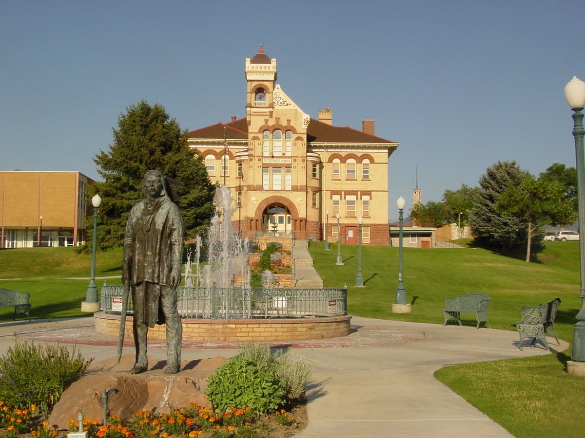
Photo: Wikipedia
Strategic Assessment of Payson, UT
Workable tactical position. Some exposure to population density or targets, but generally defensible in a crisis.
What does the Strategic Assessment tell us?
Our Strategic Assessment grades tactical survivability of an area. Major population centers, military targets, fallout zones, natural disasters, and border exposure all drive risk — lower exposure means a more defensible position in a crisis.
This is heavily inspired by Joel Skousen's Strategic Relocation book. Highly recommended you checkout the book ($)What does this tell us?
Our Strategic Assessment grades tactical survivability of an area. Major population centers, military targets, fallout zones, natural disasters, and border exposure all drive risk — lower exposure means a more defensible position in a crisis.
This is heavily inspired by Joel Skousen's Strategic Relocation book. Highly recommended you checkout the book ($)Strategic Pillars

Key Distances
Regional Safe Places
Below is our recommended "safe zones" in Utah and the surrounding area based on our strategic heuristics. For most people, it's unrealistic to live in a “safe zone” full-time due to work, family or other personal reasons. They tend to be more rural. However, many of these areas are perfect for second homes and retreat properties that double as a vacation home or even a short-term rental.


Important Note: For informational purposes only. This does not mean nothing bad ever happens in the green zones. Please use common sense. This is based on public data and modeled with AI. We tried to take a conservative approach but mistakes happen. We update this regularly as new information becomes available.
Solar Generator Recommendations
Backup power matters more here than in safer locations. We've picked three solar generators across budgets and capacity tiers — start with the budget unit if you only need a few essentials, or step up if you want to run a fridge and HVAC for days at a time.
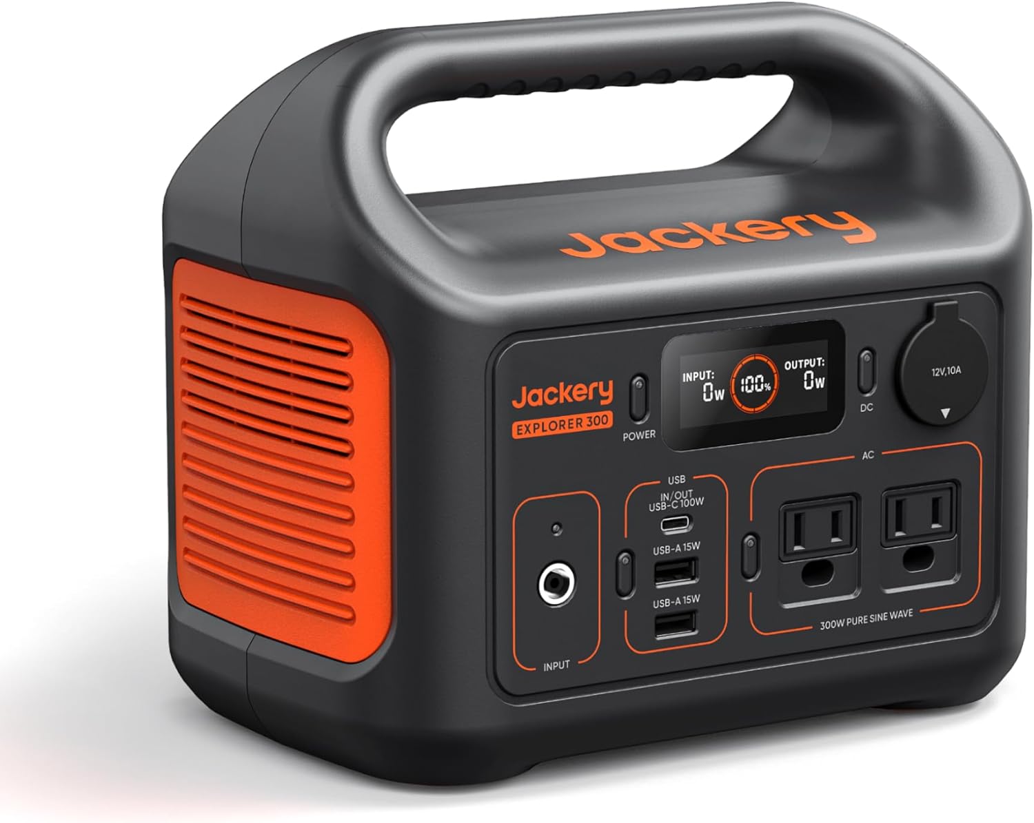
Jackery Portable Power Station Explorer 300
Budget OptionPower on the Go: Weighing only 11 lbs, it's convenient to set up and store with book-sized foldable solar panels

BLUETTI Portable Power Station AC180
Designed for both indoor and outdoor scenarios, AC180 is highly capable as it has a robost capacity and continuous output power.

EF ECOFLOW DELTA Pro Ultra Power Station
Upgraded PickEcoFlow DELTA Pro Ultra is a whole-home energy system designed to grow with your family. Integrated with the Smart Home Panel 2, it scales to meet your evolving energy needs — keeping your home powered, intelligent, and secure through every stage of life.
We earn a commission, at no additional cost to you.
Strategic Assessment Analysis
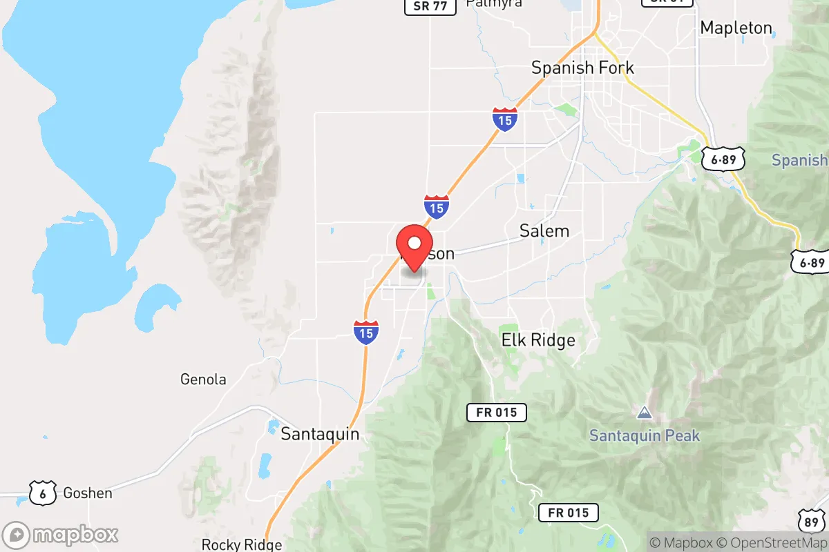
Payson, Utah, positioned at the southern end of Utah County along the Wasatch Front, offers a strategic balance of access and separation that appeals to relocation-minded individuals and families prioritizing resilience and self-sufficiency. The city's location at the mouth of Payson Canyon provides a natural buffer from the denser urban corridors of Provo and Salt Lake City, while still keeping those metropolitan resources within a 45- to 60-minute drive. For a reader thinking seriously about disaster readiness, Payson's geography, infrastructure, and community character present a mix of genuine advantages and notable exposures that deserve a grounded, factual assessment.
Geographic position and natural advantages for self-sufficiency
Payson sits at roughly 4,700 feet elevation on the western edge of the Wasatch Range, with the Uinta-Wasatch-Cache National Forest rising immediately to the east. This positioning gives the area a significant defensive advantage: the mountain terrain to the east acts as a natural barrier against eastward-propagating threats, while the valley floor to the west provides agricultural land and open space. The city's water supply is sourced primarily from the nearby Payson Lakes and groundwater wells in the Utah Valley aquifer, giving it a more localized and less vulnerable water system than communities relying entirely on the Provo River or Jordan River systems. The surrounding Nebo Loop and Payson Canyon areas offer abundant public land for hunting, foraging, and timber, which supports a self-sufficient lifestyle. The climate is semi-arid with cold winters and hot summers, averaging about 16 inches of precipitation annually, which means water conservation and storage are critical for any serious preparedness plan. The growing season runs roughly May through September, long enough for a productive garden but short enough to require season extension techniques for year-round food production.
Risk exposures and proximity to fallout-relevant landmarks
Payson's resilience profile is complicated by its position within the Wasatch Front, a region with concentrated infrastructure and population. The city lies approximately 45 miles south of Salt Lake City and 15 miles south of Provo, placing it within the fallout zone of any major event targeting those urban centers. Hill Air Force Base, a primary strategic target, is roughly 70 miles north, and the Tooele Army Depot, which stores chemical munitions, is about 60 miles west. While Payson is far enough from these sites to avoid the immediate blast radius of a conventional or nuclear event, prevailing westerly winds would carry fallout across the valley toward the Wasatch Range, meaning Payson could face significant contamination depending on wind direction and yield. The city is also situated near the Wasatch Fault, which runs along the base of the mountains. A major earthquake (magnitude 6.5–7.5) on this fault would cause severe ground shaking, liquefaction in low-lying areas, and potential landslides in the canyon. The Utah Division of Emergency Management rates the Wasatch Front as having a 47% probability of a magnitude 6.75 or greater earthquake in the next 50 years. Flooding from snowmelt and flash floods in Payson Canyon is a recurring but manageable risk, with the city maintaining flood control infrastructure along Peteetneet Creek. Wildfire risk is moderate to high in the wildland-urban interface along the eastern edge of town, particularly in subdivisions adjacent to the national forest.
Practical resilience for a relocator: food, water, energy, and defensibility
For a relocator focused on practical self-sufficiency, Payson offers several structural advantages. The city's agricultural heritage is still visible in the surrounding farmland, and the local farmers' market and community-supported agriculture (CSA) programs provide access to locally grown produce. The soil in the valley is primarily clay-loam, suitable for gardening with amendments, and the relatively low land prices compared to northern Utah County make it feasible to acquire a property with acreage for a garden, orchard, or small livestock operation. Water rights are a critical consideration: many residential lots in Payson do not include irrigation shares, and secondary water (untreated irrigation water) is limited. A well is the most reliable option for a self-sufficient property, but drilling depths in the area range from 200 to 600 feet, with costs between $15,000 and $30,000. The city's municipal water system is gravity-fed from mountain sources, which provides some resilience against power outages, but a backup generator or solar-plus-battery system is essential for pumping if the grid goes down. Electricity is supplied by Rocky Mountain Power, with an increasing number of residents installing rooftop solar; net metering policies are favorable but subject to change. Natural gas is widely available for heating and cooking, but a propane backup or wood stove is a prudent alternative. Defensibility is moderate: Payson's layout is a mix of grid-pattern streets in the older downtown and winding cul-de-sacs in newer subdivisions. The canyon entrance and the narrow corridors along U.S. Highway 6 and State Route 198 create natural chokepoints that could be monitored or controlled, but the city's population of roughly 22,000 means it is not a low-profile location. Community preparedness is active but informal, with several church groups and neighborhood watch organizations coordinating emergency plans, though there is no formal city-wide disaster response team. The Payson Police Department and Utah County Sheriff's Office provide law enforcement, and the nearest Level I trauma center is Utah Valley Hospital in Provo, 15 miles north—a 20-minute drive under normal conditions, but potentially longer during a crisis.
The overall strategic picture for Payson is one of moderate resilience with clear trade-offs. Its geographic position offers a genuine buffer from the most intense urban threats while keeping essential resources within reach, and its agricultural base and mountain access support a self-sufficient lifestyle. However, the risks from earthquake, wildfire, and proximity to high-value targets in the Wasatch Front cannot be dismissed. For a relocator who is willing to invest in water security, backup power, and community relationships, Payson provides a viable base for long-term preparedness. It is not a remote retreat, but it is a defensible foothold on the edge of a vulnerable corridor—a location that rewards preparation and penalizes complacency. The key is to treat Payson as a strategic outpost rather than a sanctuary, and to build resilience accordingly.

* Values derived from national, state, county, city and local statistics and may differ in a specific area. Last updated: 2026-11-06T03:24:06.000Z
Narrative content on this page is AI-generated and may contain mistakes. Verify any details that matter before acting on them.
ReloMaps may earn a commission from affiliate links at no extra cost to you.

