Photo: Wikipedia
Strategic Assessment of Palm Springs, CA
Meaningful friction. Expect exposure to either population pressure, blast zones, or natural disaster risk. Consider buying a retreat property.
What does the Strategic Assessment tell us?
Our Strategic Assessment grades tactical survivability of an area. Major population centers, military targets, fallout zones, natural disasters, and border exposure all drive risk — lower exposure means a more defensible position in a crisis.
This is heavily inspired by Joel Skousen's Strategic Relocation book. Highly recommended you checkout the book ($)What does this tell us?
Our Strategic Assessment grades tactical survivability of an area. Major population centers, military targets, fallout zones, natural disasters, and border exposure all drive risk — lower exposure means a more defensible position in a crisis.
This is heavily inspired by Joel Skousen's Strategic Relocation book. Highly recommended you checkout the book ($)Strategic Pillars

Key Distances
Regional Safe Places
Below is our recommended "safe zones" in California and the surrounding area based on our strategic heuristics. For most people, it's unrealistic to live in a “safe zone” full-time due to work, family or other personal reasons. They tend to be more rural. However, many of these areas are perfect for second homes and retreat properties that double as a vacation home or even a short-term rental.




Important Note: For informational purposes only. This does not mean nothing bad ever happens in the green zones. Please use common sense. This is based on public data and modeled with AI. We tried to take a conservative approach but mistakes happen. We update this regularly as new information becomes available.
Solar Generator Recommendations
Backup power matters more here than in safer locations. We've picked three solar generators across budgets and capacity tiers — start with the budget unit if you only need a few essentials, or step up if you want to run a fridge and HVAC for days at a time.

Jackery Portable Power Station Explorer 300
Budget OptionPower on the Go: Weighing only 11 lbs, it's convenient to set up and store with book-sized foldable solar panels

BLUETTI Portable Power Station AC180
Designed for both indoor and outdoor scenarios, AC180 is highly capable as it has a robost capacity and continuous output power.

EF ECOFLOW DELTA Pro Ultra Power Station
Upgraded PickEcoFlow DELTA Pro Ultra is a whole-home energy system designed to grow with your family. Integrated with the Smart Home Panel 2, it scales to meet your evolving energy needs — keeping your home powered, intelligent, and secure through every stage of life.
We earn a commission, at no additional cost to you.
Strategic Assessment Analysis
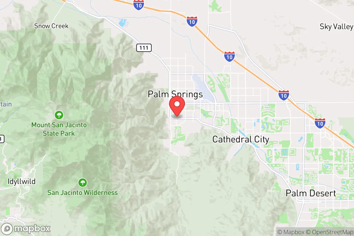
Palm Springs presents a complex but ultimately resilient relocation option in Southern California, balancing notable geographic advantages against several real risk exposures. Its location in the Coachella Valley, roughly 100 miles east of Los Angeles and 140 miles northeast of San Diego, places it outside the immediate blast radius of major population centers while still offering logistical access to their resources. The area’s desert climate, low population density relative to coastal cities, and natural barriers like the San Jacinto and Santa Rosa Mountains provide tangible strategic benefits for families and individuals prioritizing disaster readiness and self-sufficiency.
Geographic position and natural defensive advantages of the Coachella Valley
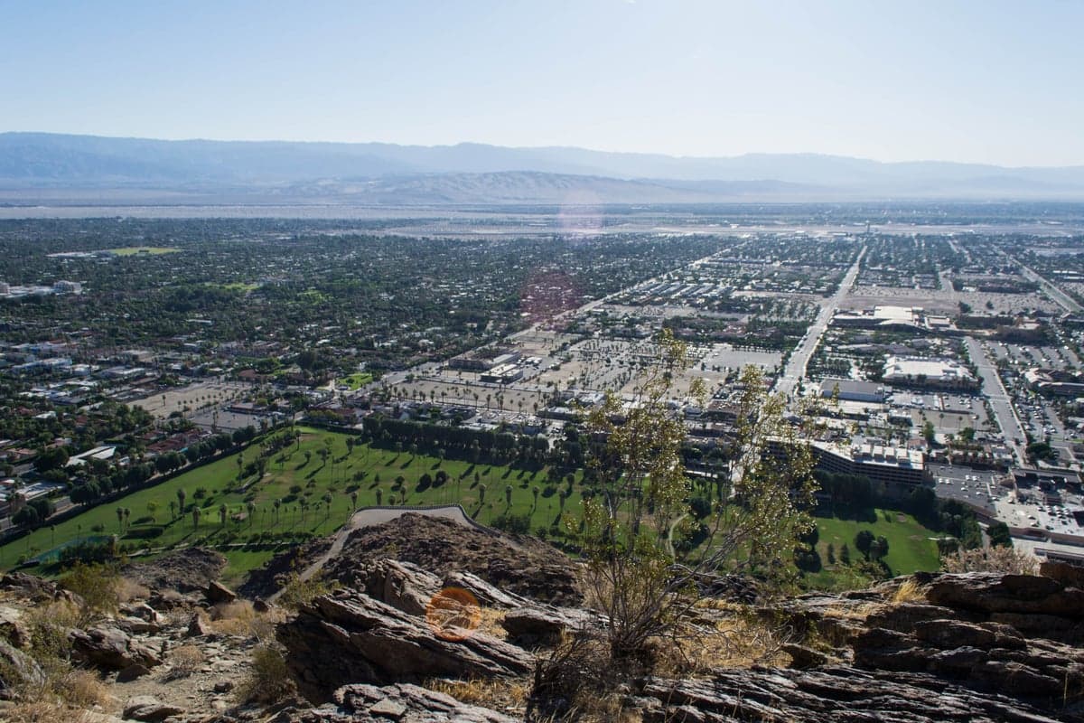
Palm Springs sits in a semi-arid basin ringed by mountain ranges that act as both a physical buffer and a meteorological modifier. The San Jacinto Mountains to the west and the Santa Rosa Mountains to the south create a natural barrier that blocks much of the region’s extreme heat from the interior, while also providing a defensible perimeter against large-scale riot or civil unrest scenarios more common in sprawling coastal metro areas. The valley floor lies at roughly 480 feet above sea level, which offers modest elevation gains over coastal zones but not enough to be classified as mountainous refuge. This geography means the area is relatively isolated from the San Andreas Fault’s most dangerous segments—the fault runs roughly 30 miles northeast of Palm Springs through the Little San Bernardino Mountains—but it is not immune to seismic risk. The region’s low humidity (averaging under 20% in summer) and sparse vegetation reduce the threat of widespread wildfires compared to forested mountain communities like Idyllwild or Big Bear, though fire risk remains significant during dry, windy periods. Water access is the valley’s most critical strategic limitation: the area relies on the Colorado River Aqueduct, the State Water Project, and local groundwater from the Coachella Valley aquifer, making it vulnerable to extended drought or infrastructure disruption.
Risk exposures, earthquake threats, and proximity to fallout-relevant landmarks
The most immediate man-made risk for Palm Springs relocators is its proximity to Interstate 10, a major transcontinental logistics corridor that carries hazardous materials, military convoys, and high-volume traffic daily. A truck-borne chemical spill or targeted disruption at the Chiriaco Summit bottleneck (about 30 miles east) could sever road access to the east for days. The San Gorgonio Pass Wind Farm, located 15 miles northwest near Banning, is a critical renewable energy hub but also a potential target for vandalism or grid instability. On the natural-disaster front, the San Jacinto Fault Zone runs within 10 miles of downtown Palm Springs and is capable of a magnitude 7.5 earthquake, though the last major rupture on this section was in 1918. The U.S. Geological Survey rates the region’s seismic hazard as “high” but not “very high” compared to areas directly atop the San Andreas. For fallout concerns, Palm Springs sits approximately 100 miles downwind (southeast) of the Los Angeles Basin under prevailing westerlies, meaning a major nuclear detonation in LA would likely deposit radioactive debris across the Coachella Valley within 4–6 hours. However, the area’s dry, rocky terrain and sparse population (roughly 44,000 residents within city limits, 375,000 in the broader valley) make sheltering-in-place more feasible than in dense coastal suburbs. The Desert Sun newspaper and local emergency services have published multi-day shelter-in-place kits guidance, but the valley lacks hardened public shelters. The nearby Marine Corps Air Ground Combat Center in Twentynine Palms (50 miles northeast) is a training facility, not a strategic nuclear target, but its presence increases military helicopter and supply traffic that could complicate post-event logistics.
Practical resilience for a relocator: food, water, energy, and defensibility
Self-sufficiency in Palm Springs requires addressing four core vulnerabilities: water, power, supply chains, and physical security. Water is the single greatest constraint. The Coachella Valley Water District maintains a robust network of groundwater wells and imported Colorado River water, but residential wells are rare and expensive to install at desert depths of 300+ feet. Rainwater harvesting is impractical due to average annual precipitation of just 5.4 inches. Any serious resilience plan should include at least two weeks of stored water per person (14 gallons minimum) and a Berkey-style filter for any available surface water (seasonal washes provide unreliable but possible supply). Food resilience is better: the valley has a strong community of farmers markets and date groves, but local agriculture is overwhelmingly commercial-scale (dates, citrus, table grapes) rather than small-scale homesteading. Backyard gardening is possible with shade cloth and drip irrigation, but heavy clay soil and extreme summer heat limit yields to cool-season crops (like beans and squash) and heat-tolerant perennials (prickly pear, mesquite). The area has a high groundwater table in some neighborhoods (like Cathedral City), which allows for shallow wells in certain zones but requires permits. Energy is the region’s strongest point: Palm Springs averages 269 sunny days per year, making rooftop solar with battery storage (e.g., Tesla Powerwall or Generac PWRcell) highly productive even in winter. The valley has a high concentration of solar farms, and the grid is reasonably stable outside of summer heat wave rolling blackouts. For defensibility, the city’s layout—narrow canyon roads with limited egress points (Highway 111 through town, I-10 at the pass)—means traffic gridlock is a serious concern during an evacuation. The mountain roads (Highway 74 over the Santa Rosas, Tramway Road to Idyllwild) can be impassable within 30 minutes of a major event. A well-stocked home with secure fencing and a clear line of sight to the road is a better strategy than attempting evacuation except in a fire or chemical incident. Fire risk is moderate but real: the local fire department has strong brush clearance programs, and newer construction in gated communities like The Mesa or Indian Canyons uses fire-resistant materials. Crime rates in Palm Springs are below national averages for property crime but above median for violent crime in the sections near downtown and the airport; defensibility is improved by choosing a home in a lower-density, hillside neighborhood with a direct road access and no alleyways.
Overall, Palm Springs offers a moderate-to-good strategic picture for a relocator who values geographic isolation from coastal chaos, abundant solar energy, and a climate that reduces certain disaster vectors like hurricanes and blizzards. Its serious water limitations and single-road evacuation vulnerability are the trade-offs that demand upfront planning and investment. For a conservative-leaning family that prioritizes self-reliance, the area works best as a base with a 1,000-gallon+ water tank, solar-plus-battery, and a set of topographic maps rather than an off-grid paradise. The threat of post-event fallout from LA is real but survivable with adequate shelter supplies and the ability to seal a home for three to five days. For single individuals or families willing to accept dry heat and limited produce seasonality, Palm Springs is a solid B+ choice that beats most coastal California locations but should not be viewed as a fully resilient sanctuary until its water and egress issues are addressed at a household level.

* Values derived from national, state, county, city and local statistics and may differ in a specific area. Last updated: 2026-06-25T05:14:10.000Z
Narrative content on this page is AI-generated and may contain mistakes. Verify any details that matter before acting on them.
ReloMaps may earn a commission from affiliate links at no extra cost to you.

