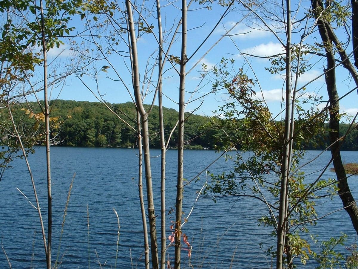
Photo: Wikipedia
Strategic Assessment of Otis, MA
Meaningful friction. Expect exposure to either population pressure, blast zones, or natural disaster risk. Consider buying a retreat property.
What does the Strategic Assessment tell us?
Our Strategic Assessment grades tactical survivability of an area. Major population centers, military targets, fallout zones, natural disasters, and border exposure all drive risk — lower exposure means a more defensible position in a crisis.
This is heavily inspired by Joel Skousen's Strategic Relocation book. Highly recommended you checkout the book ($)What does this tell us?
Our Strategic Assessment grades tactical survivability of an area. Major population centers, military targets, fallout zones, natural disasters, and border exposure all drive risk — lower exposure means a more defensible position in a crisis.
This is heavily inspired by Joel Skousen's Strategic Relocation book. Highly recommended you checkout the book ($)Strategic Pillars

Key Distances
Regional Safe Places
Below is our recommended "safe zones" in Massachusetts and the surrounding area based on our strategic heuristics. For most people, it's unrealistic to live in a “safe zone” full-time due to work, family or other personal reasons. They tend to be more rural. However, many of these areas are perfect for second homes and retreat properties that double as a vacation home or even a short-term rental.




Important Note: For informational purposes only. This does not mean nothing bad ever happens in the green zones. Please use common sense. This is based on public data and modeled with AI. We tried to take a conservative approach but mistakes happen. We update this regularly as new information becomes available.
Solar Generator Recommendations
Backup power matters more here than in safer locations. We've picked three solar generators across budgets and capacity tiers — start with the budget unit if you only need a few essentials, or step up if you want to run a fridge and HVAC for days at a time.

Jackery Portable Power Station Explorer 300
Budget OptionPower on the Go: Weighing only 11 lbs, it's convenient to set up and store with book-sized foldable solar panels

BLUETTI Portable Power Station AC180
Designed for both indoor and outdoor scenarios, AC180 is highly capable as it has a robost capacity and continuous output power.

EF ECOFLOW DELTA Pro Ultra Power Station
Upgraded PickEcoFlow DELTA Pro Ultra is a whole-home energy system designed to grow with your family. Integrated with the Smart Home Panel 2, it scales to meet your evolving energy needs — keeping your home powered, intelligent, and secure through every stage of life.
We earn a commission, at no additional cost to you.
Strategic Assessment Analysis
Otis, Massachusetts, offers a strategic blend of geographic isolation and practical access that makes it a serious contender for relocation-focused readers prioritizing resilience and self-sufficiency. Nestled in the Berkshire Hills of western Massachusetts, this small town of roughly 1,600 residents sits at a meaningful distance from major metropolitan targets while remaining within a practical drive of essential services. For someone weighing disaster readiness, Otis presents a defensible position: far enough from coastal flood zones and urban fallout risks, yet close enough to the logistical lifelines of the Northeast corridor to avoid complete isolation.
Geographic position and natural advantages for long-term stability
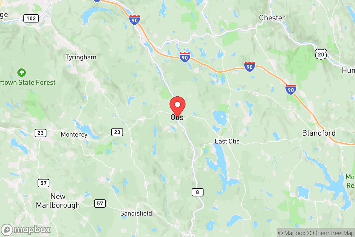
Otis occupies a ridgeline in the southern Berkshires, with elevations ranging from roughly 1,000 to 1,800 feet. This elevation provides a natural buffer against storm surge, sea-level rise, and the worst of inland flooding that plagues lower-lying communities along the Connecticut River Valley. The town sits within the Housatonic River watershed, but its hilly terrain means most residential areas are well above floodplains. The surrounding Berkshire Plateau offers dense mixed hardwood and conifer forests, which serve as both a natural windbreak and a resource for timber, firewood, and game. The area's bedrock geology—primarily metamorphic schist and gneiss—provides stable foundations for well drilling and root cellars, unlike the sandy coastal plains or karst-prone regions elsewhere in New England. Otis is roughly 30 miles from the New York state line and about 40 miles from Albany, New York, placing it outside the immediate blast or fallout zones of any major population center. The nearest city of significant size is Pittsfield (population ~43,000), 20 miles north, while Springfield (population ~155,000) lies 35 miles east. This positioning means Otis is close enough to access hospitals, hardware stores, and supply chains, but far enough that a regional crisis in a major hub would not directly overwhelm the town.
Risks, exposures, and proximity to fallout-relevant landmarks
The primary man-made risk for Otis is its location within roughly 50 miles of the Albany-Schenectady-Troy metropolitan area, which includes the Knolls Atomic Power Laboratory (a nuclear research facility) and the Albany International Airport, a potential military logistics hub. While not a primary target, a nuclear exchange or major industrial accident at these sites could produce fallout patterns that affect western Massachusetts depending on wind direction. The prevailing winds in the Berkshires are from the west and northwest, meaning fallout from a New York City or Boston strike would likely be carried away from Otis, but a strike on Albany or a facility in the Mohawk Valley could pose a direct threat. Natural risks are moderate: the region experiences occasional ice storms, heavy snow (average annual snowfall is about 70 inches), and the rare tornado (the 1995 Great Barrington tornado touched down 15 miles south). Earthquake risk is low, as the area sits on stable continental crust. The town's forested nature also presents a moderate wildfire risk during dry summers, though the humid climate and frequent rain keep this manageable compared to the Western U.S. The biggest practical risk for a relocator is winter isolation: heavy snow can close the winding two-lane roads (Routes 8 and 23) for hours or days, making a 4WD vehicle with snow tires a non-negotiable requirement.
Practical resilience for a relocator: food, water, energy, and defensibility
Otis offers strong potential for self-sufficiency, but it requires upfront work. The town's water supply is almost entirely from private wells, with depths typically ranging from 100 to 300 feet. The underlying bedrock yields adequate water for a household, but drought years can lower water tables, so a backup storage system (e.g., 500-gallon cistern or rain barrels) is wise. The soil is rocky and acidic, typical of New England, but with raised beds and soil amendment, vegetable gardening is viable from May through September. The short growing season (roughly 120 frost-free days) limits staple crops like corn and beans, but cold-hardy greens, root vegetables, and berries do well. Local hunting for white-tailed deer and wild turkey is legal and common, and the nearby October Mountain State Forest (16,000 acres) provides public land for foraging and timber. For energy, Otis is served by Eversource, but power outages from ice storms and wind are frequent—several times a year, sometimes lasting days. Solar panels with battery backup are a strong investment, as the region gets about 200 sunny days annually, and net metering is available. Wood stoves are standard in most homes, and firewood is abundant and affordable (roughly $250 per cord delivered). Defensibility is a mixed picture: the town's low population density and winding roads make it hard for outsiders to navigate, but the same roads make it hard for residents to patrol or retreat. The nearest state police barracks is in Lee (15 miles east), and the local police force is part-time. For a relocator, this means personal security is largely self-managed. The community is tight-knit but not insular; the Otis Volunteer Fire Department and local emergency services are competent but stretched thin. Building a relationship with neighbors is not optional—it is the primary social safety net.
The overall strategic picture for Otis is one of moderate resilience with clear trade-offs. It offers genuine advantages over coastal or urban-adjacent locations: elevation, forest resources, well water, and distance from primary targets. It is not a bug-out location for a weekend—it is a place to build a life with redundancy in mind. The Berkshires' aging population and limited economic base mean that a relocator bringing skills (medical, mechanical, agricultural) would be valued, not resented. The downsides are real: winter isolation, rocky soil, and the lingering risk of fallout from upstate New York targets. For a family or individual willing to invest in a wood stove, a well-maintained vehicle, and a year's worth of stored supplies, Otis provides a defensible, livable base in a region that is often overlooked by the prepper community. It is not the most remote option in New England, but it may be the most balanced one for someone who wants to be ready without disappearing entirely.

* Values derived from national, state, county, city and local statistics and may differ in a specific area. Last updated: 2026-09-29T17:16:35.000Z
Narrative content on this page is AI-generated and may contain mistakes. Verify any details that matter before acting on them.
ReloMaps may earn a commission from affiliate links at no extra cost to you.

