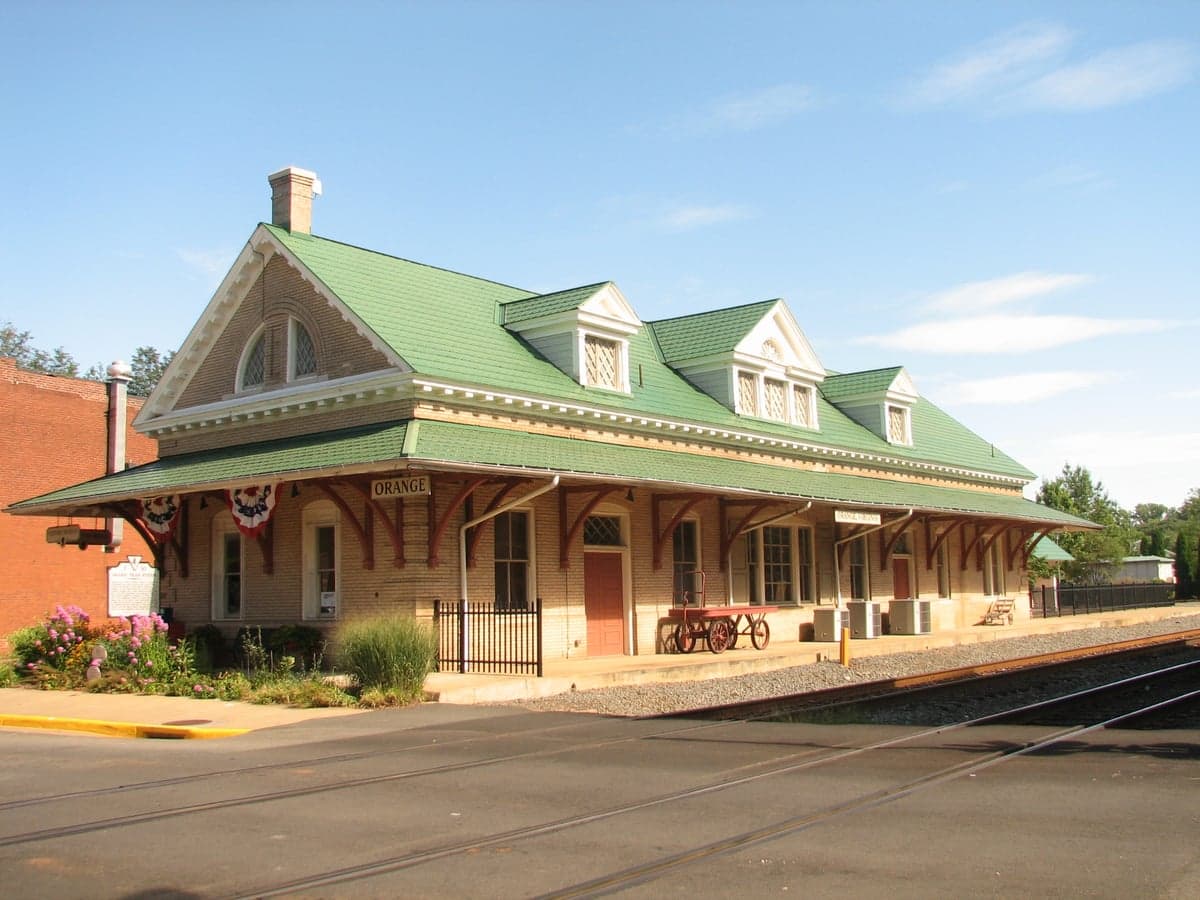
Photo: Wikipedia
Strategic Assessment of Orange, VA
Meaningful friction. Expect exposure to either population pressure, blast zones, or natural disaster risk. Consider buying a retreat property.
What does the Strategic Assessment tell us?
Our Strategic Assessment grades tactical survivability of an area. Major population centers, military targets, fallout zones, natural disasters, and border exposure all drive risk — lower exposure means a more defensible position in a crisis.
This is heavily inspired by Joel Skousen's Strategic Relocation book. Highly recommended you checkout the book ($)What does this tell us?
Our Strategic Assessment grades tactical survivability of an area. Major population centers, military targets, fallout zones, natural disasters, and border exposure all drive risk — lower exposure means a more defensible position in a crisis.
This is heavily inspired by Joel Skousen's Strategic Relocation book. Highly recommended you checkout the book ($)Strategic Pillars

Key Distances
Regional Safe Places
Below is our recommended "safe zones" in Virginia and the surrounding area based on our strategic heuristics. For most people, it's unrealistic to live in a “safe zone” full-time due to work, family or other personal reasons. They tend to be more rural. However, many of these areas are perfect for second homes and retreat properties that double as a vacation home or even a short-term rental.




Important Note: For informational purposes only. This does not mean nothing bad ever happens in the green zones. Please use common sense. This is based on public data and modeled with AI. We tried to take a conservative approach but mistakes happen. We update this regularly as new information becomes available.
Solar Generator Recommendations
Backup power matters more here than in safer locations. We've picked three solar generators across budgets and capacity tiers — start with the budget unit if you only need a few essentials, or step up if you want to run a fridge and HVAC for days at a time.

Jackery Portable Power Station Explorer 300
Budget OptionPower on the Go: Weighing only 11 lbs, it's convenient to set up and store with book-sized foldable solar panels

BLUETTI Portable Power Station AC180
Designed for both indoor and outdoor scenarios, AC180 is highly capable as it has a robost capacity and continuous output power.

EF ECOFLOW DELTA Pro Ultra Power Station
Upgraded PickEcoFlow DELTA Pro Ultra is a whole-home energy system designed to grow with your family. Integrated with the Smart Home Panel 2, it scales to meet your evolving energy needs — keeping your home powered, intelligent, and secure through every stage of life.
We earn a commission, at no additional cost to you.
Strategic Assessment Analysis
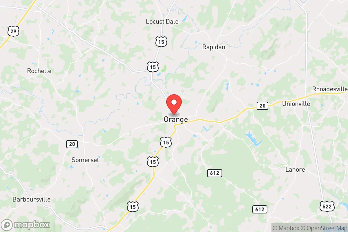
Orange, Virginia, offers a strategic balance of rural self-sufficiency and proximity to critical infrastructure that appeals to relocation-minded individuals and families prioritizing disaster readiness. Located roughly 30 miles northeast of Charlottesville and 70 miles southwest of Washington, D.C., the town sits in a zone that is close enough to access urban resources but far enough to avoid the immediate fallout risks of a major metropolitan target. The area’s resilience is rooted in its geography—rolling Piedmont hills, abundant water sources, and a low population density—making it a credible option for those serious about long-term preparedness without complete isolation.
Geographic position and natural advantages for long-term stability
Orange County lies in the Virginia Piedmont, a transitional zone between the Blue Ridge Mountains to the west and the coastal plain to the east. This position provides several natural advantages. The terrain is hilly but not mountainous, offering defensible high ground without the extreme weather exposure of higher elevations. The area sits outside the 100-mile evacuation zones of major nuclear plants—the nearest being North Anna (about 25 miles east) and Surry (about 80 miles southeast)—and is well beyond the blast radius of any likely D.C.-area target. The county’s elevation ranges from 300 to 600 feet, reducing flood risk compared to low-lying Tidewater regions. Orange County averages 43 inches of rain annually, with a temperate climate that supports year-round gardening and livestock. The growing season runs roughly from mid-April to mid-October, allowing for substantial food production. The region’s soils are primarily clay-loam, workable for small-scale agriculture with proper amendment. Natural water resources are plentiful: the Rapidan River forms the county’s northern border, and the Rappahannock River runs through the eastern portion. Numerous creeks, springs, and ponds dot the landscape, giving property owners options for off-grid water access. Groundwater availability is generally good in the Piedmont’s fractured bedrock aquifers, though well depths vary from 100 to 400 feet depending on location.
Risks, exposures, and proximity to fallout-relevant landmarks
While Orange avoids the highest-risk zones, it is not without vulnerabilities. The most significant man-made risk is the North Anna Nuclear Generating Station, located about 25 miles east in Louisa County. In a worst-case scenario, prevailing winds from the east could carry fallout toward Orange, though the distance provides a substantial safety buffer. The plant’s emergency planning zone (EPZ) extends 10 miles for plume exposure and 50 miles for ingestion pathways—Orange sits just inside the outer edge of the ingestion zone. For context, the 2011 earthquake near Mineral, Virginia, caused a temporary shutdown at North Anna, demonstrating that seismic events are a real, if low-probability, concern. Orange is approximately 70 miles from Washington, D.C., placing it outside the primary blast and thermal zones of a nuclear detonation but within the range of fallout drift depending on wind patterns. The town is also about 30 miles from Charlottesville, a regional hub that could become a secondary target or a chokepoint during evacuation. Major transportation corridors include Route 20, Route 15, and Route 522, which connect to I-64 and I-95. These roads are vulnerable to congestion during a crisis; the Route 15 bridge over the Rapidan River is a single-point failure that could bottleneck north-south movement. Natural hazards are moderate: the area experiences occasional tornadoes (typically EF-0 to EF-2), ice storms, and derechos—the 2012 derecho left parts of the county without power for up to a week. Flooding is localized along the Rapidan and Rappahannock rivers, but most residential areas on higher ground are safe. Wildfire risk is low due to the mixed hardwood-pine forests and relatively high humidity, though dry spells can elevate danger.
Practical resilience for a relocator: food, water, energy, and defensibility
For a relocator focused on self-sufficiency, Orange offers strong fundamentals. Food production is viable on parcels of 5 acres or more. The county has a robust agricultural heritage—corn, soybeans, hay, and cattle are common—and local extension services through Virginia Tech provide resources for small-scale farming. Farmers’ markets in Orange and nearby Gordonsville offer seasonal produce, and the area has a growing network of homesteaders and permaculture practitioners. Hunting is permitted on private land with permission; deer, turkey, and small game are abundant. Fishing in the Rapidan and Rappahannock rivers is good for smallmouth bass and panfish. Water security is achievable through wells, which are standard on rural properties. Drilling costs in the area range from $15 to $30 per foot, with most wells producing 5–15 gallons per minute—adequate for a household and small garden. Surface water from creeks and ponds can supplement with proper filtration (e.g., Berkey or ceramic filters). Rainwater catchment is legal and practical, with average annual rainfall supporting 1,000–2,000 gallons of storage per 1,000 square feet of roof. Energy resilience is mixed. Grid power is provided by Dominion Energy, which has a mixed reliability record—outages during storms are common, but restoration times are generally under 24 hours. Solar potential is moderate: the area receives about 4.5 peak sun hours per day, enough for a grid-tied system with battery backup. Off-grid solar is feasible but requires a larger array due to winter cloud cover. Wood heating is popular; firewood permits are available from the Virginia Department of Forestry, and seasoned hardwood costs $200–$300 per cord delivered. Propane is widely used for cooking and backup heating, with local suppliers like Suburban Propane and AmeriGas serving the area. Defensibility is a strong point. The rolling terrain provides natural observation points and chokepoints. Rural properties with long driveways and tree lines offer privacy and standoff distance. The county has a low crime rate—violent crime in Orange is about 60% below the national average—and a strong sheriff’s office presence, but response times in remote areas can exceed 20 minutes. Neighbors tend to be self-reliant and community-oriented, with active volunteer fire departments and a culture of mutual aid. The town of Orange itself has a population of roughly 5,000, with basic services including a grocery store, hardware store, and medical clinic. For serious medical emergencies, the nearest hospital is in Culpeper (20 miles) or Charlottesville (30 miles).
Overall, Orange, Virginia, presents a credible option for the disaster-conscious relocator who wants a balance of rural security and access to urban resources. Its geographic position avoids the highest-risk zones while offering abundant water, arable land, and defensible terrain. The primary trade-offs are proximity to North Anna and D.C. fallout zones—manageable with proper planning—and the need to invest in well, solar, and food storage infrastructure to achieve true self-sufficiency. For a family or individual willing to put in the work, Orange provides a solid foundation for long-term resilience without the extreme isolation of more remote locations. The area’s combination of natural advantages, low crime, and a growing preparedness-minded community makes it a strategic choice for those serious about staying ready.

* Values derived from national, state, county, city and local statistics and may differ in a specific area. Last updated: 2026-09-11T00:59:06.000Z
Narrative content on this page is AI-generated and may contain mistakes. Verify any details that matter before acting on them.
ReloMaps may earn a commission from affiliate links at no extra cost to you.

