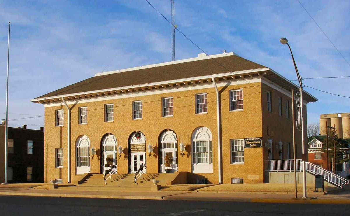
Photo: Wikipedia
Strategic Assessment of Woodward County
Strong survivability profile. Good buffer from population centers, with manageable environmental and tactical risks.
What does the Strategic Assessment tell us?
Our Strategic Assessment grades tactical survivability of an area. Major population centers, military targets, fallout zones, natural disasters, and border exposure all drive risk — lower exposure means a more defensible position in a crisis.
This is heavily inspired by Joel Skousen's Strategic Relocation book. Highly recommended you checkout the book ($)What does this tell us?
Our Strategic Assessment grades tactical survivability of an area. Major population centers, military targets, fallout zones, natural disasters, and border exposure all drive risk — lower exposure means a more defensible position in a crisis.
This is heavily inspired by Joel Skousen's Strategic Relocation book. Highly recommended you checkout the book ($)Strategic Pillars

Key Distances
Strategic Assessment Analysis
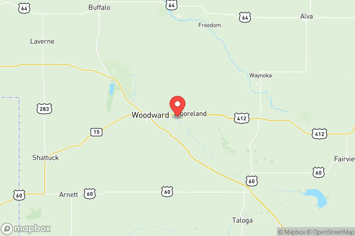
Woodward County, anchored by the city of Woodward itself, offers a compelling strategic profile for relocators prioritizing resilience and self-sufficiency, largely due to its position in the Oklahoma Panhandle's more populated eastern edge. The area combines a low population density—roughly 20,000 residents spread across 1,246 square miles—with a working agricultural economy that provides a baseline of local food production and a community accustomed to self-reliance. Its distance from major metropolitan targets like Oklahoma City (roughly 140 miles southeast) and the Dallas-Fort Worth metroplex (about 250 miles south) reduces exposure to the cascading effects of a major urban disruption, while its location along U.S. Highway 412 and U.S. Highway 270 provides practical, if not redundant, ground access to regional supply chains.
Geographic position and natural advantages for long-term stability
Woodward County sits on the southern edge of the Great Plains, where the terrain transitions from flat farmland to the more broken, canyon-dotted landscape of the western Oklahoma panhandle. The North Canadian River runs through the county, providing a surface water source that is scarce in much of the surrounding High Plains region. The county's position places it roughly 100 miles south of the Kansas border and 60 miles east of the Texas Panhandle, giving it a central location within a sparsely populated tri-state area. This geographic buffer means that Woodward is not a primary target for any strategic adversary, nor is it adjacent to any high-value infrastructure that would create secondary fallout exposure. The nearest major military installation is Vance Air Force Base in Enid, about 70 miles east-southeast, which is a pilot training base rather than a strategic bomber or missile facility, reducing its likelihood as a first-strike target. The county's elevation—around 1,900 feet—and semi-arid climate mean fewer natural disaster risks than coastal or tornado-alley core areas, though severe thunderstorms and occasional winter storms do occur. The local water table, part of the Ogallala Aquifer system, supports irrigation and rural wells, though it is a finite resource that requires responsible management.
Risks, exposures, and proximity to fallout-relevant landmarks
While Woodward County benefits from its remoteness, it is not without exposure to man-made and natural risks. The county lies within the broader region served by the Cushing oil storage hub, located about 130 miles east-southeast in Payne County—the largest commercial crude oil storage facility in North America. A major incident at Cushing could disrupt fuel supplies across the central U.S., including to Woodward, though the county itself would not be in a direct blast or fallout zone. More locally, the county has active oil and gas production, with numerous wellheads and gathering lines scattered across the rural landscape; a well blowout or pipeline rupture could create localized contamination, but these are manageable risks with proper awareness. The primary natural threat is severe weather: Woodward County sits in the southern edge of "Tornado Alley," and the city of Woodward was struck by a devastating F5 tornado in 1947 that killed over 100 people. Modern warning systems and construction standards have improved, but relocators should prioritize storm shelters or reinforced safe rooms. The county is not near any nuclear power plants—the nearest is the Wolf Creek Generating Station in Burlington, Kansas, roughly 180 miles north—and is not downwind of any major metropolitan area that would produce significant fallout in a nuclear exchange. The closest potential fallout-relevant landmarks are the aforementioned Vance Air Force Base and the Cushing hub, both far enough away that only a worst-case ground burst with prevailing winds would pose a threat.
Practical resilience for a relocator: food, water, energy, and defensibility
For a relocator serious about self-sufficiency, Woodward County offers several structural advantages. Food production is the county's strongest asset: it is part of Oklahoma's wheat belt, with extensive cattle ranching and some row crop agriculture. Local farmers' markets and direct-from-ranch meat sales are common, and the county's agricultural extension office provides resources for home gardening and livestock management. The growing season averages around 190 days, sufficient for most warm-season crops with supplemental irrigation. Water access is moderate but manageable: rural properties typically rely on private wells drawing from the Ogallala Aquifer, which has seen declining water levels in parts of the Oklahoma Panhandle, but Woodward County's portion remains more productive than areas further west. Rainwater catchment is feasible given the county's 24 inches of annual precipitation, and surface water from the North Canadian River and its tributaries can supplement needs with proper treatment. Energy resilience is mixed: the local grid is served by Western Farmers Electric Cooperative, and while power outages from winter storms or summer storms occur, they are typically restored within hours to a day. Solar potential is excellent—the county averages over 260 sunny days per year—and off-grid solar with battery storage is a viable investment. Natural gas is widely available in rural areas for heating and cooking. Defensibility is a function of low population density and distance from major corridors: the county's dispersed settlement pattern means that a small, prepared group can maintain operational security more easily than in suburban or exurban settings. The city of Woodward itself has a population of about 12,000 and serves as a regional trade center with a hospital, grocery stores, and hardware suppliers, but relocators should plan to be self-sufficient for at least 30-60 days, as supply chains to rural areas can be disrupted by regional events.
The overall strategic picture for Woodward County is one of moderate-to-high resilience for a relocator who values distance from targets, access to agricultural land, and a community that is not dependent on a single industry or government installation. The county's weaknesses—finite groundwater, tornado risk, and reliance on a single highway for east-west travel—are manageable with planning and investment. For a family or individual looking to build a long-term, self-reliant lifestyle in a region that is unlikely to be a primary or secondary target in a major conflict, Woodward County represents a solid, if not exceptional, option. It is not the most remote location in the continental U.S., but it offers a realistic balance of accessibility, resources, and strategic obscurity that many relocators will find attractive.

* Values derived from national, state, county, city and local statistics and may differ in a specific area. Last updated: 2026-07-02T18:07:18.000Z
Narrative content on this page is AI-generated and may contain mistakes. Verify any details that matter before acting on them.
ReloMaps may earn a commission from affiliate links at no extra cost to you.

