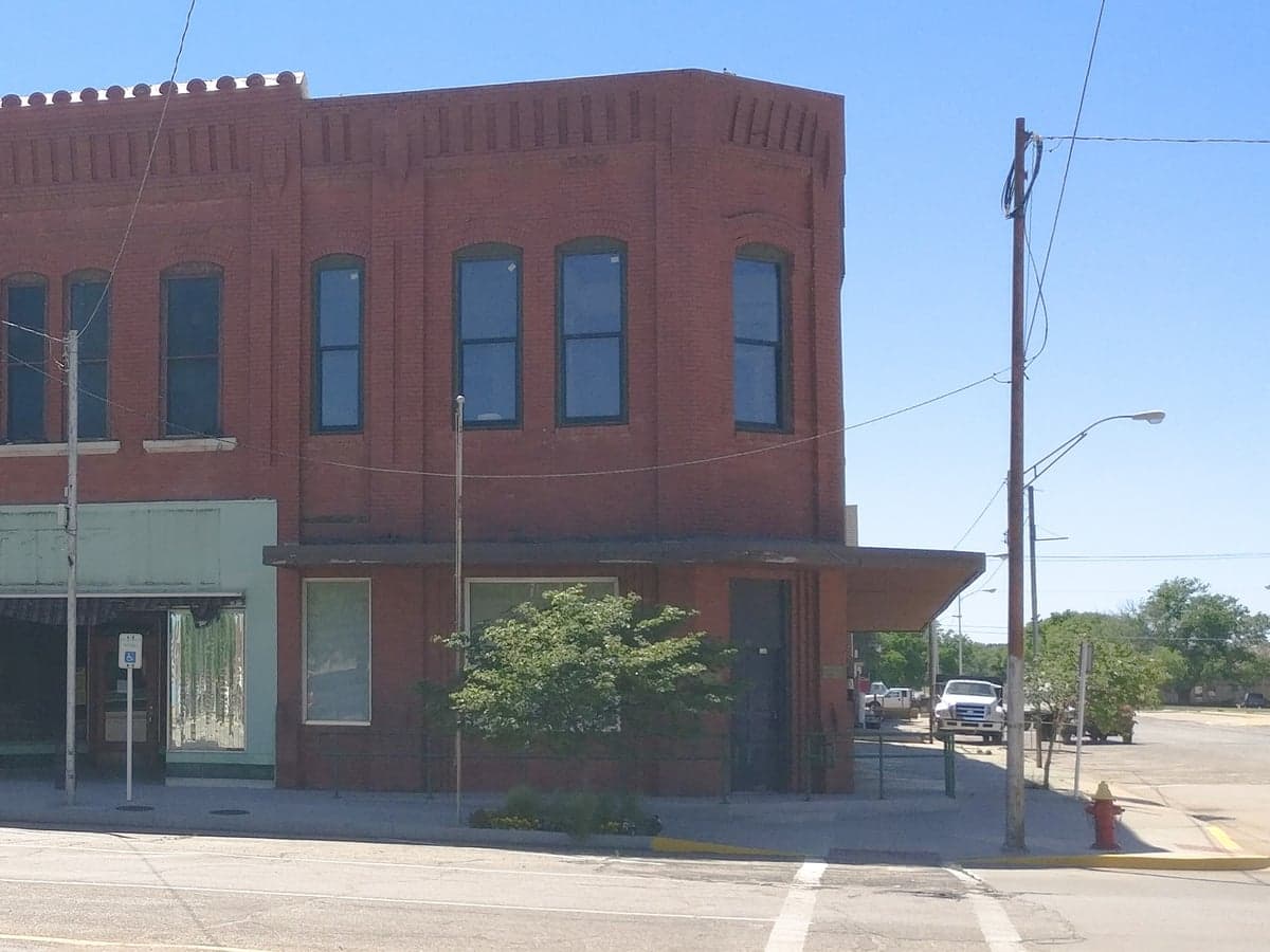
Photo: Wikipedia
Strategic Assessment of Woods County
Deep buffer from population centers and strategic targets. Low natural disaster risk and minimal exposure to border or coastal threats.
What does the Strategic Assessment tell us?
Our Strategic Assessment grades tactical survivability of an area. Major population centers, military targets, fallout zones, natural disasters, and border exposure all drive risk — lower exposure means a more defensible position in a crisis.
This is heavily inspired by Joel Skousen's Strategic Relocation book. Highly recommended you checkout the book ($)What does this tell us?
Our Strategic Assessment grades tactical survivability of an area. Major population centers, military targets, fallout zones, natural disasters, and border exposure all drive risk — lower exposure means a more defensible position in a crisis.
This is heavily inspired by Joel Skousen's Strategic Relocation book. Highly recommended you checkout the book ($)Strategic Pillars

Key Distances
Strategic Assessment Analysis
Woods County, Oklahoma, offers a compelling strategic profile for relocators prioritizing resilience, self-sufficiency, and distance from major metropolitan vulnerabilities. Situated in the northwestern corner of the state, the county combines low population density, a robust agricultural base, and relative isolation from the most likely targets of a major disruption—whether natural or man-made. Its seat, Alva, serves as the primary population and service hub, while smaller communities like Freedom, Waynoka, and Capron provide even deeper rural buffers. For a reader weighing disaster readiness alongside everyday livability, Woods County presents a balanced but not risk-free option.
Geographic position and natural advantages for long-term stability
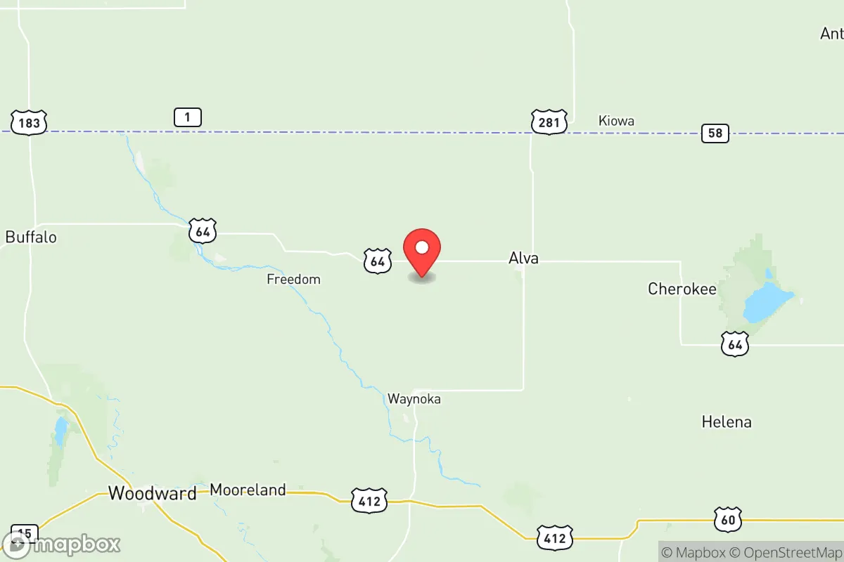
Woods County’s location is its strongest asset. It sits roughly 100 miles from the Wichita, Kansas metro area and over 150 miles from Oklahoma City, placing it well outside the blast radius, fallout plume, or secondary chaos of a major urban or industrial strike. The county is part of the Southern Great Plains, characterized by flat to gently rolling terrain, which simplifies road access and infrastructure maintenance compared to mountainous regions. The Cimarron River runs through the southern portion of the county, providing a natural water source and riparian corridors that support wildlife and grazing. The area’s climate is semi-arid, with hot summers and cold winters, but it avoids the hurricane risks of the Gulf Coast or the seismic activity of the West. Tornadoes are a genuine threat—Woods County lies in Alley—but the low population density means a direct hit on a home or farm is statistically less likely than in a suburban subdivision. The county’s agricultural foundation—primarily wheat, cattle, and hay—means that local food production is not a theoretical exercise but a daily reality. This is not a bedroom community; it is a working landscape where self-reliance is already embedded in the culture.
Risks, exposures, and proximity to fallout-relevant landmarks
No location is without risk, and Woods County has specific exposures that a strategic relocator must weigh. The most significant man-made risk is proximity to Vance Air Force Base, located just south of the county line in Enid (Garfield County). Vance is a major training base for the U.S. Air Force, housing T-6 Texan II and T-38 Talon aircraft. While not a nuclear weapons storage site, any major conflict involving strategic air assets could make the base a secondary target or a source of heightened military traffic and potential accidents. The base is roughly 40 miles southeast of Alva, close enough to be a concern but far enough that a direct ground-zero strike on Vance would not devastate Woods County itself. Fallout patterns would depend entirely on wind direction, but the prevailing winds in this region are from the south and southwest, meaning a strike on Vance could push contamination toward the northern part of the county. Additionally, the Mississippi Lime oil and gas fields underlie much of the region, with active wells and pipelines throughout Woods County. A major pipeline rupture or well fire could create localized hazards, though these are generally manageable with proper planning. The county also sits near the Burlington Northern Santa Fe (BNSF) rail line that runs through Waynoka, a major freight corridor carrying hazardous materials, including crude oil and chemicals. A derailment or spill near Waynoka could disrupt local water sources or require evacuation. On the natural disaster side, the tornado risk is real, and the county has experienced EF-2 and EF-3 events in recent decades. Drought is a recurring challenge, with the 2011-2012 drought being particularly severe, impacting water tables and agricultural yields. For a relocator, these risks are manageable with proper preparation—storm shelters, diversified water sources, and a well-stocked pantry—but they are not negligible.
Practical resilience for a relocator: food, water, energy, and defensibility
For someone serious about self-sufficiency, Woods County offers strong fundamentals. Food production is the county’s backbone. Local farmers and ranchers produce wheat, beef, pork, and poultry, and the Alva Farmers Market operates seasonally, providing direct access to fresh produce and meats. For a relocator with land, raising a garden or small livestock operation is straightforward given the soil quality and growing season (roughly 170 days). Water availability is the critical variable. The county relies on groundwater from the Ogallala Aquifer, which underlies the western portion of the county, and surface water from the Cimarron River and several small reservoirs. The Ogallala is a finite resource, and depletion rates are a long-term concern, but for a single household or small community, a private well drilled into the aquifer can provide reliable water for decades if managed responsibly. Rainwater catchment is also viable, given average annual precipitation of about 25 inches. Energy independence is achievable. The region has strong wind resources—average wind speeds exceed 15 mph in many areas—making small-scale wind turbines a practical option. Solar is also viable, with over 230 sunny days per year. The local electric cooperative, Northwest Rural Electric Cooperative, serves the area and has a history of relatively stable rates. For those wanting to go off-grid, the combination of wind and solar can cover most household needs, with propane or wood as backup for heating. Defensibility is a mixed picture. The open terrain offers long sightlines, which is an advantage for security, but it also means limited natural cover. A homestead with a perimeter fence, good lighting, and a clear field of fire is easier to set up here than in wooded or mountainous areas. The county’s low crime rate—violent crime in Alva is roughly 60% below the national average—means that in normal times, security is not a pressing concern. In a crisis, the sparse population (roughly 8,000 people in the entire county) means fewer potential threats, but also fewer neighbors to call on for mutual aid. Building relationships with nearby landowners is a practical step for anyone serious about long-term resilience.
The overall strategic picture for Woods County is one of moderate-to-strong resilience with manageable trade-offs. It offers genuine distance from high-value targets like major cities, military bases, and industrial corridors, while still providing access to essential services in Alva and regional medical care in Enid or Woodward. The agricultural base, renewable energy potential, and low population density make it a viable location for a self-sufficient lifestyle. The primary risks—tornadoes, drought, and proximity to Vance Air Force Base—are real but can be mitigated with planning and infrastructure. For a relocator who values independence, preparedness, and a slower pace of life, Woods County deserves serious consideration. It is not a fortress, but it is a solid foundation. The key is to arrive with eyes open, a well-drilled plan, and a willingness to engage with the local community—because in a county this small, your neighbors are your most valuable asset.

* Values derived from national, state, county, city and local statistics and may differ in a specific area. Last updated: 2026-10-27T19:20:28.000Z
Narrative content on this page is AI-generated and may contain mistakes. Verify any details that matter before acting on them.
ReloMaps may earn a commission from affiliate links at no extra cost to you.

