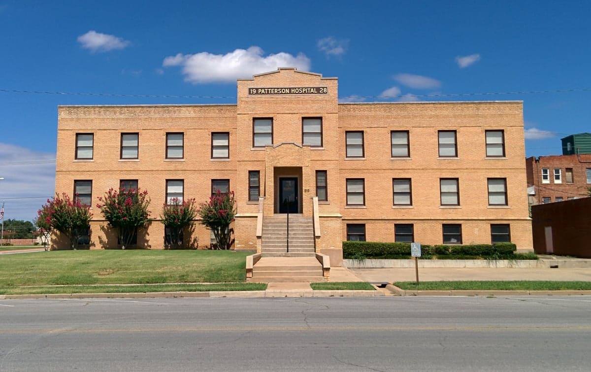
Photo: Wikipedia
Strategic Assessment of Stephens County
Workable tactical position. Some exposure to population density or targets, but generally defensible in a crisis.
What does the Strategic Assessment tell us?
Our Strategic Assessment grades tactical survivability of an area. Major population centers, military targets, fallout zones, natural disasters, and border exposure all drive risk — lower exposure means a more defensible position in a crisis.
This is heavily inspired by Joel Skousen's Strategic Relocation book. Highly recommended you checkout the book ($)What does this tell us?
Our Strategic Assessment grades tactical survivability of an area. Major population centers, military targets, fallout zones, natural disasters, and border exposure all drive risk — lower exposure means a more defensible position in a crisis.
This is heavily inspired by Joel Skousen's Strategic Relocation book. Highly recommended you checkout the book ($)Strategic Pillars

Key Distances
Strategic Assessment Analysis
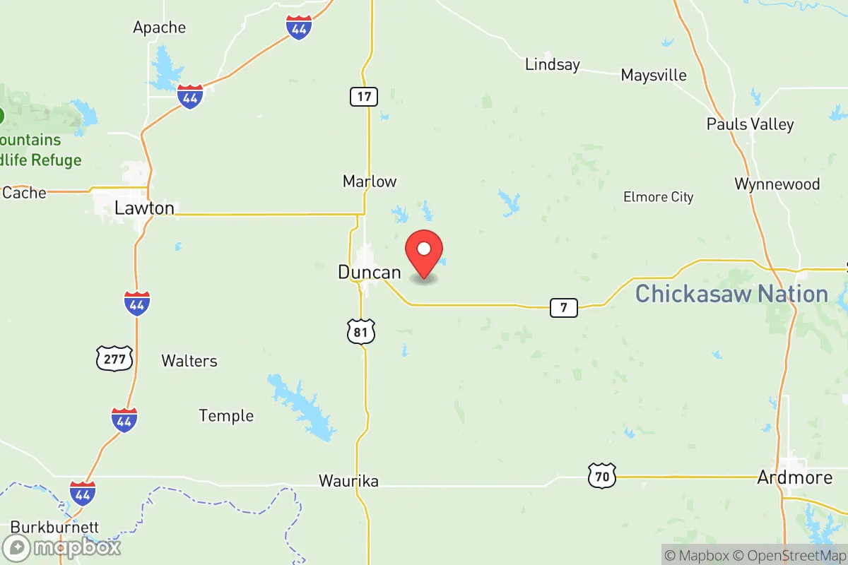
Stephens County, anchored by the city of Duncan, offers a compelling mix of geographic isolation and practical self-sufficiency that appeals to relocation-minded individuals and families prioritizing resilience. Situated in south-central Oklahoma, roughly 90 miles southwest of Oklahoma City and 100 miles north of the Dallas-Fort Worth metroplex, the county sits far enough from major population centers to avoid their immediate collapse scenarios while remaining close enough for supply runs or medical access in stable times. The area’s low population density—around 43,000 residents spread across 891 square miles—combined with its position outside the primary wind patterns of major fallout corridors, makes it a defensible and strategically sound choice for those serious about disaster readiness.
Geographic position and natural advantages for self-sufficiency
Stephens County’s terrain is a mix of rolling plains, oak woodlands, and river valleys, offering a moderate climate that supports year-round agriculture and livestock operations. The county sits atop the Arbuckle-Simpson Aquifer, one of Oklahoma’s most reliable groundwater sources, which provides clean drinking water to Duncan, Marlow, and Comanche. For a relocator, this means access to a stable water table that is less vulnerable to surface contamination than many other regions. The area’s elevation—averaging around 1,100 feet—keeps it above the flood-prone zones of the Red River Valley, while its distance from the Gulf Coast (over 350 miles) eliminates hurricane storm surge risk. The local growing season stretches roughly 210 days, allowing for substantial home gardening and small-scale farming. The presence of the Clear Creek and Wildhorse Creek watersheds further supports irrigation and livestock watering, making the county one of the more naturally self-sufficient areas in the southern Plains.
Risks, exposures, and proximity to fallout-relevant landmarks
While Stephens County avoids the worst of coastal and metropolitan threats, it is not without exposure. The county lies within the tornado alley corridor, with an average of 5-7 tornado warnings per year, though the terrain’s open visibility provides ample warning time for those with storm shelters. More critically for the resilience-minded reader, the county sits roughly 60 miles southwest of Tinker Air Force Base in Oklahoma City, a high-value military installation that could become a target in a major conflict. Additionally, the Cushing oil storage hub—one of the largest crude oil storage facilities in North America—lies about 80 miles northeast, presenting a potential secondary fallout risk if struck. On the positive side, Stephens County is far from the Houston refinery corridor (over 400 miles) and the Dallas-Fort Worth urban core (100 miles), meaning it is unlikely to face direct fallout from those areas unless prevailing winds shift dramatically. The county’s own industrial footprint is modest, centered on the Duncan oilfield services sector (Halliburton’s historical home base), which poses minimal radiological or chemical hazard compared to coastal refineries or nuclear plants. The nearest nuclear facility is the Wolf Creek Generating Station in Kansas, over 200 miles north, well outside the typical 50-mile emergency planning zone.
Practical resilience for a relocator: food, water, energy, and defensibility
For a family or individual looking to establish a self-sufficient homestead, Stephens County offers strong fundamentals. The water situation is excellent: the Arbuckle-Simpson Aquifer provides consistent yields for private wells, and the county’s surface water rights are relatively easy to obtain compared to more regulated states like Texas or Colorado. Energy resilience is also favorable: the region has abundant wind and solar potential, with average wind speeds of 14-16 mph and over 230 sunny days per year. Many rural properties already have propane tanks and backup generators, and the county’s electrical grid is served by the Duncan Public Utilities Authority, which maintains a local natural gas-fired plant—reducing reliance on distant transmission lines. Food production is viable: the soil in the river bottoms is rich and loamy, and the county has a strong tradition of cattle ranching and hay farming. Local farmers’ markets in Duncan and Marlow operate from April through October, and the Stephens County Fairgrounds hosts regular livestock auctions and agricultural supply events. For defensibility, the county’s low population density and dispersed settlement pattern make it difficult for large-scale threats to concentrate. The terrain offers natural chokepoints along the creeks and highways, and the local law enforcement presence—including the Stephens County Sheriff’s Office and the Duncan Police Department—is professional but stretched thin, meaning residents should plan for community-based security. The county’s strong hunting culture (deer, turkey, and feral hogs) means a high percentage of households already own firearms and know how to use them, which is a practical advantage for those prioritizing self-defense.
Overall, Stephens County presents a balanced strategic picture for the relocation-minded reader. It avoids the worst fallout risks of the Texas Gulf Coast and the Oklahoma City metro while offering reliable water, energy, and food production potential. The main trade-offs are the tornado risk and the moderate proximity to Tinker Air Force Base, but these are manageable with proper planning—storm shelters and situational awareness go a long way. For a single individual or family looking to build a resilient, self-sufficient life in a community that values independence and preparedness, Stephens County ranks as one of the more sensible options in the southern Plains. The key is to secure a property with a well, solar or wind capacity, and good soil—and to get involved with the local network of ranchers, hunters, and homesteaders who already live the lifestyle you’re aiming for.

* Values derived from national, state, county, city and local statistics and may differ in a specific area. Last updated: 2026-06-16T21:47:32.000Z
Narrative content on this page is AI-generated and may contain mistakes. Verify any details that matter before acting on them.
ReloMaps may earn a commission from affiliate links at no extra cost to you.

