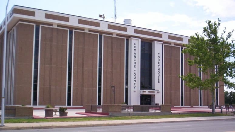
Photo: Wikipedia
Quality of Life in Comanche County
A livable area that tracks near national norms for affordability, walkability, and neighborhood health.
What does Quality of Life tell us?
Quality of Life measures an area by evaluating factors like cost of living, nearby amenities, country club access, airport proximity, socioeconomic signals and neighborhood character. For large states, this is a general average — quality of life can vary dramatically between metro areas, suburbs, and rural communities within the same state.
What does this tell us?
Quality of Life measures an area by evaluating factors like cost of living, nearby amenities, country club access, airport proximity, socioeconomic signals and neighborhood character. For large states, this is a general average — quality of life can vary dramatically between metro areas, suburbs, and rural communities within the same state.
Cost of Living
30% below national average
134%
The Real Cost of Living in Comanche County for 2026
| Tier | Individual | Family (4) |
|---|---|---|
| Survival | $15k | $28k |
| Comfortable | $30k | $44k |
| Luxury | $101k+ | $157k+ |
| Elite (Top 5%) | $119k+ | $185k+ |
Quality-of-Life Analysis
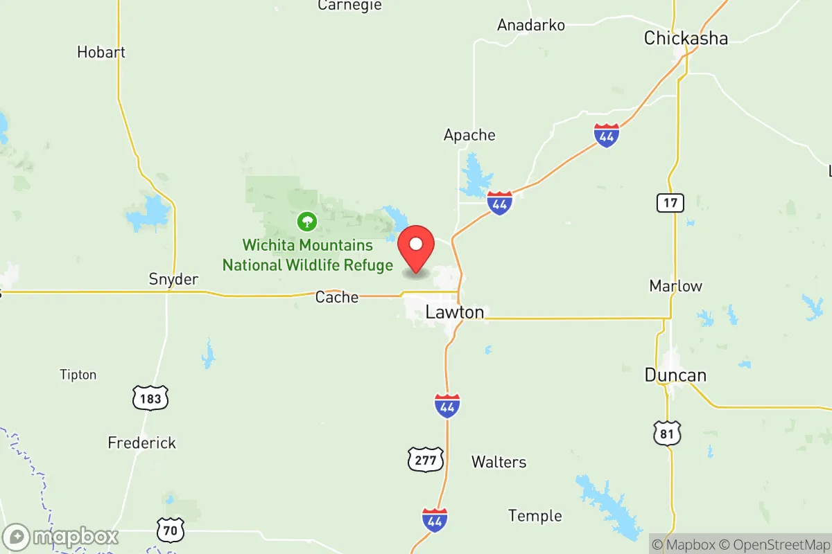
Comanche County, Oklahoma, offers a broad quality-of-life spectrum that ranges from the regional hub of Lawton to unincorporated crossroads and working ranches, drawing everyone from military families and defense contractors to retirees seeking low taxes and remote workers chasing affordable land. The county’s character shifts noticeably as you move from the commercial corridors of Lawton into the quiet farm-to-market roads of the county’s eastern and western reaches. With a cost-of-living index of 70 (30% below the U.S. average), a median home value of $154,300, and a median rent of $940, the county offers a tangible financial advantage that varies in expression depending on which specific community you choose.
Largest town(s) & population centers
Lawton is the county’s undisputed population and economic center, home to roughly 90,000 residents and the anchor of daily life for most of the county. Daily life here revolves around Fort Sill, the U.S. Army base that drives the local economy, and the city’s mix of big-box retail, regional healthcare through Comanche County Memorial Hospital, and Cameron University. The average commute of 18.2 minutes is notably short for a city of this size, meaning most residents can reach work, school, or shopping within a quarter-hour drive. Lawton’s housing stock is older and more varied than the county’s rural areas, with neighborhoods like the historic Pioneer Addition offering walkable streets and mature trees, while newer subdivisions near Cache Road and Gore Boulevard cater to families and officers stationed at the base. The city also has a modest but active arts scene centered on the McMahon Memorial Auditorium and the Museum of the Great Plains.
Smaller towns & rural pockets
Outside Lawton, the county’s smaller communities offer a distinctly slower, more self-reliant pace. Cache (pop. ~2,900), just north of Lawton, feels like a small-town bedroom community with its own school district and a handful of local eateries along Highway 62. Elgin (pop. ~3,200) has grown steadily due to its proximity to Fort Sill’s east gate, with newer housing developments and a growing commercial strip. Fletcher (pop. ~1,200) and Sterling (pop. ~800) are classic Oklahoma farm towns, each centered on a grain elevator and a single main street, where residents often drive 20–30 minutes to Lawton for groceries or medical appointments. The unincorporated areas of Indiahoma and Meers are even more sparsely populated; Meers is best known for the Meers Store & Restaurant, a regional landmark, but has no real commercial infrastructure beyond that. These rural pockets are where land is cheapest and neighbors are fewest, appealing to those who prioritize privacy and acreage over convenience.
Cost & lifestyle range
The cost-of-living spread across Comanche County is meaningful but not extreme. At the high end, Lawton’s newer subdivisions near Bishop Road and NW 82nd Street see home prices in the $200,000–$300,000 range, with rents for a three-bedroom house often exceeding $1,200. At the low end, rural properties in Fletcher or Sterling can still be found for under $100,000, and rents for a two-bedroom house in those towns often fall below $700. The trade-off is clear: Lawton offers immediate access to Walmart, Home Depot, multiple grocery chains, and a hospital, while the smaller towns require a 15- to 30-minute drive for those same amenities. Property taxes are uniformly low across the county—Oklahoma’s effective rate is roughly 0.9%—so the biggest cost variable is simply the price of the home itself. Utilities and groceries are slightly cheaper in the rural areas due to lower local sales taxes, but internet access can be a limiting factor: fiber is common in Lawton and Elgin, while parts of Fletcher and Indiahoma still rely on DSL or satellite.
Who thrives in Comanche County depends heavily on which part of the spectrum they choose. Military personnel and civilian defense workers find the most convenience and community in Lawton or Elgin, where the commute to Fort Sill is shortest and the support network is strongest. Retirees on fixed incomes and remote workers with stable internet often prefer the lower housing costs and quiet of Fletcher or Sterling, accepting the longer drive for shopping. Farmers, ranchers, and anyone seeking a truly off-grid lifestyle gravitate toward the unincorporated areas around Meers or Indiahoma, where land is measured in acres rather than lots. The county’s overall affordability and short commute times make it a practical choice for anyone willing to trade urban density for financial breathing room and a slower daily rhythm.

Crime in Comanche County
Crime rates similar to the national median for U.S. locations.
Violent CrimeViolent Crime Analysis
Property CrimeProperty Crime Analysis
Crime Analysis
Comanche County, Oklahoma, anchored by the city of Lawton, presents a crime and safety landscape that demands careful consideration from potential residents. The county’s violent crime rate of 410.4 per 100,000 residents and property crime rate of 1,835 per 100,000 place it significantly above both state and national averages, indicating a higher risk environment than many other parts of Oklahoma. While certain pockets and smaller communities offer relative calm, the overall data signals that safety is a primary concern, particularly in and around Lawton, where the majority of the county’s population and crime incidents are concentrated.
Crime in context
Comanche County’s violent crime rate of 410.4 per 100,000 is roughly 17% higher than the Oklahoma state average and nearly double the national rate. Property crime, at 1,835 per 100,000, also exceeds the state average by a notable margin. To put this in perspective, the city of Lawton itself reports crime rates that are among the highest in the state for cities of its size, with violent crime often driven by aggravated assault and robbery. In contrast, smaller communities like Fletcher, Indiahoma, and Cache typically report far lower crime rates, though their populations are small and incident counts can fluctuate year to year. The county’s proximity to Fort Sill, a major Army post, introduces a transient population that can both contribute to and complicate local crime statistics. The judicial district covering Comanche County, part of Oklahoma’s 5th Judicial District, has seen a mix of sentencing approaches in recent years, with some observers noting that progressive-leaning policies in the district attorney’s office have at times prioritized diversion programs over incarceration for certain property and drug offenses, a factor that may influence recidivism rates.
What residents experience
For those living in Comanche County, the experience of crime is highly localized. In Lawton, residents frequently cite property crime—particularly vehicle break-ins, theft from porches, and burglary—as a daily nuisance. The city’s downtown and older neighborhoods near the central business district tend to see higher concentrations of both violent and property incidents. Areas like north Lawton and the “Patch” neighborhood have historically reported elevated crime levels, while newer subdivisions on the city’s southwest side, near the Cache Creek area, are generally considered safer. In the smaller towns of Elgin and Sterling, residents report a quieter atmosphere, though property crime can still occur, especially near major highways. The county’s law enforcement landscape is fragmented: the Lawton Police Department handles the bulk of urban crime, while the Comanche County Sheriff’s Office patrols unincorporated areas and smaller towns. The presence of Fort Sill’s military police also adds a layer of security on and near the base, but does little to affect crime in civilian areas. Residents in Lawton often express frustration with what they perceive as a lenient judicial system, where repeat property offenders cycle through the courts without significant jail time, a sentiment that aligns with broader concerns about progressive prosecution policies in Oklahoma’s urban counties.
Neighborhood-level variation is stark in Comanche County. The safest residential areas are generally found in the outlying towns and rural subdivisions, such as those around Medicine Park and the Wichita Mountains Wildlife Refuge, where crime is rare and community watch programs are active. In contrast, central Lawton and areas near the Cameron University campus see higher foot traffic and opportunistic crime. Prospective residents should research specific block-level data, as a street in a “good” part of Lawton can border a higher-crime corridor. The county’s overall safety picture is one of contrast: a high-crime urban core surrounded by relatively safe rural and small-town communities, with the effectiveness of local law enforcement and the judicial philosophy of the district attorney playing a significant role in shaping long-term trends.
* Values derived from national, state, county, city and local statistics and may differ in a specific area. Last updated: 2026-07-20T00:31:34.000Z
Narrative content on this page is AI-generated and may contain mistakes. Verify any details that matter before acting on them.
ReloMaps may earn a commission from affiliate links at no extra cost to you.

