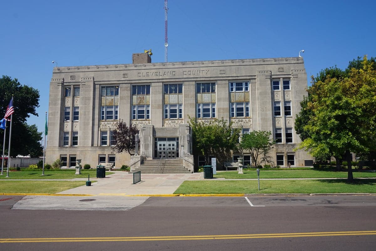
Photo: Wikipedia
Strategic Assessment of Cleveland County
Meaningful friction. Expect exposure to either population pressure, blast zones, or natural disaster risk. Consider buying a retreat property.
What does the Strategic Assessment tell us?
Our Strategic Assessment grades tactical survivability of an area. Major population centers, military targets, fallout zones, natural disasters, and border exposure all drive risk — lower exposure means a more defensible position in a crisis.
This is heavily inspired by Joel Skousen's Strategic Relocation book. Highly recommended you checkout the book ($)What does this tell us?
Our Strategic Assessment grades tactical survivability of an area. Major population centers, military targets, fallout zones, natural disasters, and border exposure all drive risk — lower exposure means a more defensible position in a crisis.
This is heavily inspired by Joel Skousen's Strategic Relocation book. Highly recommended you checkout the book ($)Strategic Pillars

Key Distances
Strategic Assessment Analysis
Cleveland County, Oklahoma, anchored by Norman and stretching south toward the Texas border, presents a compelling case for the relocation-minded reader who prioritizes resilience and strategic positioning. Its location offers a blend of Midwestern stability, access to the Oklahoma City metro’s resources, and a buffer from the densest population centers and most obvious man-made risks. For a single individual or family weighing disaster readiness and self-sufficiency, the county’s geography, infrastructure, and community profile merit a close, grounded look.
Geographic position and natural advantages for long-term stability
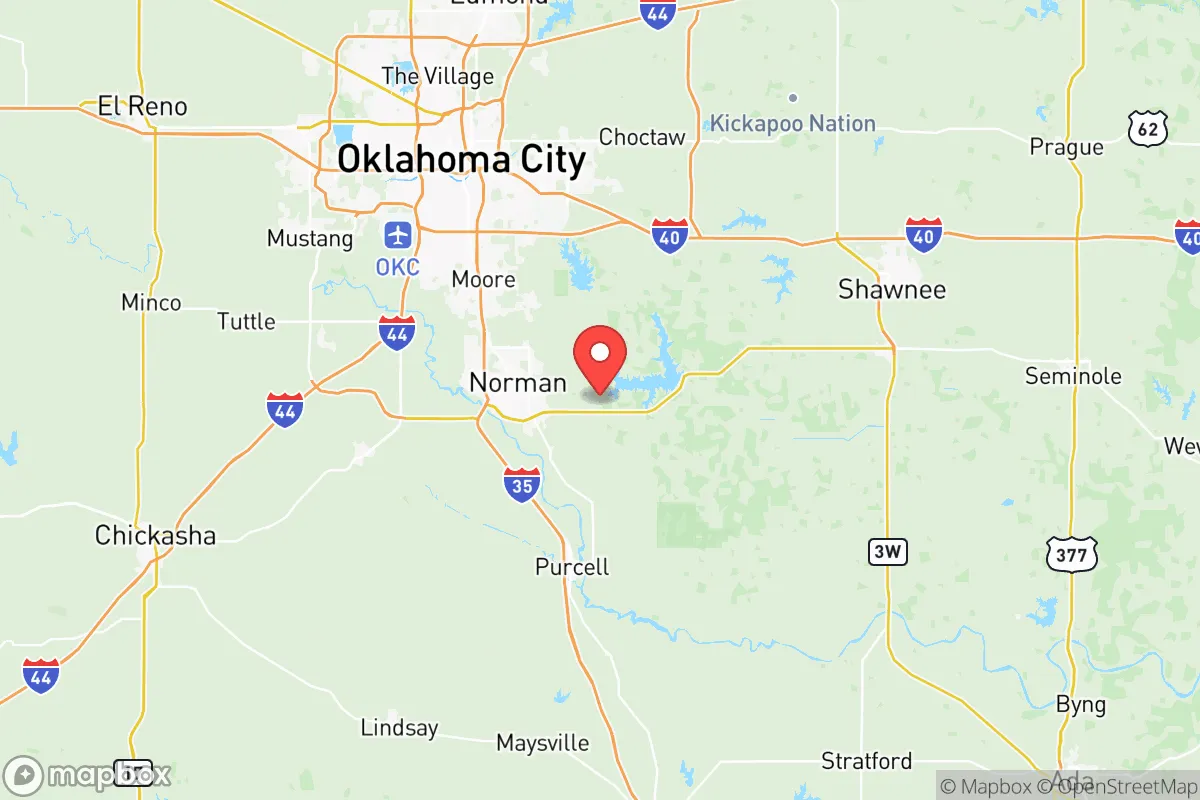
Cleveland County sits at the southern edge of the Oklahoma City metropolitan area, roughly 20 miles south of downtown OKC. This proximity provides access to major medical centers, supply chains, and transportation hubs—including Will Rogers World Airport and the I-35 corridor—without the daily congestion and vulnerability of living inside a major city. The county’s terrain is gently rolling prairie and oak woodland, with the Canadian River forming its northern boundary and the South Canadian River cutting through the southern portion. These waterways, while not navigable, create natural buffers and offer groundwater recharge zones that support local aquifers. The land is generally well-drained and suitable for small-scale agriculture, a key consideration for anyone planning food self-sufficiency. Norman, the county seat and home to the University of Oklahoma, anchors the region with a stable economy and a population of roughly 130,000, while smaller towns like Noble, Purcell, and Lexington offer lower density and more land per dollar. The area’s position in Tornado Alley is a known risk, but the region’s building codes, storm shelters, and community preparedness culture are among the most mature in the country. For a relocator, the trade-off is clear: you accept seasonal severe weather in exchange for a location that is far removed from coastal storm surges, seismic zones, and the fallout corridors of major industrial targets.
Risks, exposures, and proximity to fallout-relevant landmarks
No resilience assessment is honest without naming the real vulnerabilities. Cleveland County’s most significant man-made risk comes from its proximity to Tinker Air Force Base, located just north in Oklahoma County. Tinker is a major maintenance and logistics hub for the U.S. Air Force and a high-value target in any conflict scenario. A ground burst at Tinker would place much of Cleveland County within dangerous fallout patterns, depending on wind direction. Additionally, the I-35 corridor running through the county is a critical north-south logistics route, which could become a chokepoint or target during a disruption. On the natural hazard side, the county sits in the heart of Tornado Alley, with an average of 5-10 tornado warnings per year. The May 2013 Moore tornado, which devastated a neighboring community, is a sobering reminder that even well-prepared areas can face catastrophic events. Flooding along the Canadian River and its tributaries is a secondary concern, particularly in low-lying areas near Noble and Purcell. However, the county has no nuclear power plants, no major chemical refineries, and no ports—unlike regions near Houston’s refinery corridor or the Mississippi River chemical belt. The nearest major refinery is in Ponca City, roughly 90 miles north, and the nearest nuclear plant is in Russellville, Arkansas, over 200 miles away. For a relocator focused on fallout and industrial hazards, Cleveland County’s risk profile is moderate but manageable, especially if you choose a home with a storm shelter and maintain situational awareness of wind patterns during a crisis.
Practical resilience for a relocator: food, water, energy, and defensibility
For someone serious about self-sufficiency, Cleveland County offers a realistic foundation. The region’s growing season runs roughly from April to October, supporting a wide range of vegetables, fruits, and grains. Local soil is predominantly sandy loam and clay, which can be amended for productive gardening. The county has a strong agricultural heritage, with farmers’ markets in Norman, Noble, and Purcell providing access to local produce and livestock. Water availability is a mixed picture: the county relies on a combination of surface water from Lake Thunderbird and groundwater from the Garber-Wellington aquifer. Lake Thunderbird, located just east of Norman, is the primary municipal source, but it has experienced drought-related drawdowns in recent years. For a relocator, investing in a private well (typical depth 200-400 feet) and rainwater catchment would provide meaningful redundancy. Energy infrastructure is robust, with OG&E serving the area and a growing number of residential solar installations. The county’s relatively flat terrain and open spaces make solar a viable option, though grid reliability during severe weather is a known issue—ice storms in 2021 and 2023 caused multi-day outages. Defensibility is a nuanced topic: Cleveland County is not a remote redoubt, but its layout offers practical advantages. The rural southern half of the county, around Lexington and the Canadian River valley, provides acreage, privacy, and natural chokepoints via county roads and river crossings. Norman itself is a college town with a transient population, which can be a double-edged sword—less community cohesion in a crisis, but also less scrutiny for a relocator who keeps a low profile. For a family, the presence of strong schools, a low violent crime rate (roughly half the national average), and a conservative-leaning culture in the outlying towns aligns well with a preparedness-minded lifestyle.
The overall strategic picture for Cleveland County is one of balanced trade-offs. It is not a remote survivalist’s paradise, nor is it a high-risk urban core. It offers a realistic middle ground: proximity to the resources of a major metro, a moderate hazard profile, and enough land and water to support a semi-self-sufficient household. The key for a relocator is to choose your specific location carefully—southern Cleveland County or the rural fringes of Noble and Lexington offer more defensibility and space than suburban Norman. Pair that with a storm shelter, a well, and a solar array, and you have a base that can weather both natural disasters and broader disruptions without requiring a complete off-grid lifestyle. For the reader who wants to be prepared without living in isolation, Cleveland County deserves a spot on the short list.

* Values derived from national, state, county, city and local statistics and may differ in a specific area. Last updated: 2026-07-27T14:29:30.000Z
Narrative content on this page is AI-generated and may contain mistakes. Verify any details that matter before acting on them.
ReloMaps may earn a commission from affiliate links at no extra cost to you.

