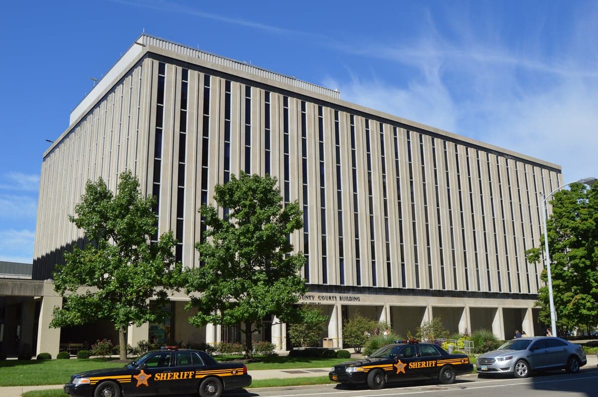
Photo: Wikipedia
Strategic Assessment of Montgomery County
Meaningful friction. Expect exposure to either population pressure, blast zones, or natural disaster risk. Consider buying a retreat property.
What does the Strategic Assessment tell us?
Our Strategic Assessment grades tactical survivability of an area. Major population centers, military targets, fallout zones, natural disasters, and border exposure all drive risk — lower exposure means a more defensible position in a crisis.
This is heavily inspired by Joel Skousen's Strategic Relocation book. Highly recommended you checkout the book ($)What does this tell us?
Our Strategic Assessment grades tactical survivability of an area. Major population centers, military targets, fallout zones, natural disasters, and border exposure all drive risk — lower exposure means a more defensible position in a crisis.
This is heavily inspired by Joel Skousen's Strategic Relocation book. Highly recommended you checkout the book ($)Strategic Pillars

Key Distances
Strategic Assessment Analysis
Montgomery County, Ohio, anchored by the city of Dayton, presents a mixed strategic picture for the relocation-minded reader focused on resilience and self-sufficiency. The area benefits from a strong inland position away from coastal storm surges and major seismic zones, but its industrial history and proximity to significant infrastructure targets introduce real risk considerations. For a family or individual weighing long-term preparedness, the county offers a balance of practical advantages and exposure to man-made threats that demand a clear-eyed assessment.
Geographic position and natural advantages for long-term stability
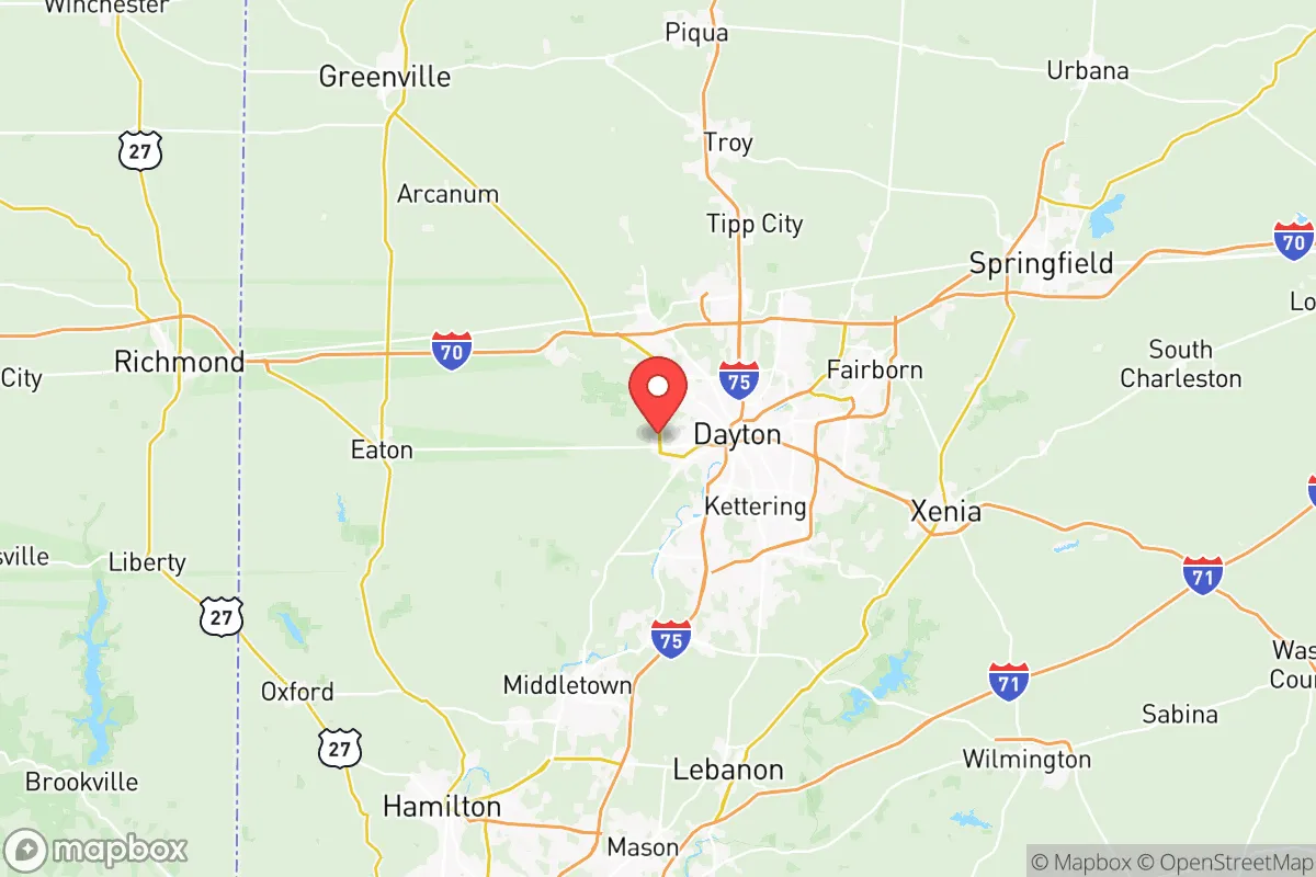
Montgomery County sits in the heart of the Miami Valley, a region defined by the Great Miami River and its tributaries. This inland location provides a natural buffer against hurricane-force winds and storm surge that plague Gulf and Atlantic coastal areas. The county is roughly equidistant from Cincinnati, Columbus, and Indianapolis, placing it within a 60-90 minute drive of three major metropolitan centers while remaining far enough removed to avoid the immediate fallout of a major urban event. The terrain is gently rolling, with elevations around 700-1,000 feet above sea level, which reduces flood risk compared to low-lying river communities. The Great Miami River itself is a reliable water source, though its floodplain has historically caused issues in low-lying neighborhoods like those near Dayton's downtown core and West Carrollton. The area's temperate climate supports a growing season of roughly 170 days, making small-scale food production viable for a prepared household. The presence of Wright-Patterson Air Force Base, located just east of Dayton in Greene County, is a double-edged sword: it provides economic stability and emergency response infrastructure, but it also marks the region as a high-value target in a conflict scenario.
Risks, exposures, and proximity to fallout-relevant landmarks
The most significant risk for Montgomery County residents is its concentration of industrial and military infrastructure. Wright-Patterson Air Force Base is the largest single-site employer in Ohio and houses the Air Force Research Laboratory, the National Air and Space Intelligence Center, and the Air Force Institute of Technology. In a national emergency, this facility would be a primary target. Additionally, the county sits within the broader Ohio River Valley industrial corridor, with refineries and chemical plants along the Ohio River roughly 50 miles south near Cincinnati. The Dayton International Airport and the UPS air hub at Wilmington Air Park (about 30 miles east) represent additional logistical targets. On the natural disaster front, the region is not immune to tornadoes—the 2019 Memorial Day tornadoes caused significant damage in Trotwood, Beavercreek, and parts of Dayton itself. The county's aging water and sewer infrastructure, particularly in older neighborhoods, poses a secondary risk during prolonged power outages. For a relocator, the key takeaway is that while Montgomery County avoids coastal and seismic extremes, its value as a logistics and defense hub creates a non-trivial man-made risk profile.
Practical resilience for a relocator: food, water, energy, and defensibility
For a household focused on self-sufficiency, Montgomery County offers several practical advantages. The surrounding agricultural land in Miami County and Greene County provides a local food supply chain, with farmers' markets and CSAs available in communities like Yellow Springs and Centerville. The Great Miami River and its aquifer system supply drinking water to most of the county, but a well-equipped household should plan for filtration and storage—municipal treatment plants are vulnerable to power loss and contamination events. Energy reliability is a mixed picture: the region is served by AES Ohio and Dayton Power & Light, with a grid that has experienced weather-related outages, particularly during ice storms and summer thunderstorms. Solar panel adoption is feasible given the region's average 170 sunny days per year, though not optimal compared to the Southwest. For defensibility, the county's suburban and exurban areas—such as Oakwood, Kettering, and Vandalia—offer neighborhoods with good sightlines and limited choke points, while more rural pockets near Englewood and Clayton provide greater seclusion. The county's network of state routes and interstates (I-75, I-70, and I-675) facilitates evacuation or supply movement, but also creates potential congestion during a crisis. A relocator should prioritize properties with private water sources, defensible perimeters, and proximity to local food producers rather than relying solely on suburban infrastructure.
Overall, Montgomery County presents a viable but nuanced option for the resilience-minded relocator. Its inland location and moderate climate reduce exposure to the most catastrophic natural events, while its industrial and military assets introduce man-made risks that cannot be ignored. The area's agricultural surroundings and water resources support a self-sufficient lifestyle, but the density of targets within a 50-mile radius means that a prepared household must have a solid plan for evacuation or shelter-in-place scenarios. For a family or individual willing to invest in off-grid capabilities and stay informed about regional threats, the county offers a realistic middle ground—neither a high-risk coastal zone nor a remote safe haven, but a place where practical preparedness can make a meaningful difference.

* Values derived from national, state, county, city and local statistics and may differ in a specific area. Last updated: 2026-07-22T18:43:22.000Z
Narrative content on this page is AI-generated and may contain mistakes. Verify any details that matter before acting on them.
ReloMaps may earn a commission from affiliate links at no extra cost to you.

