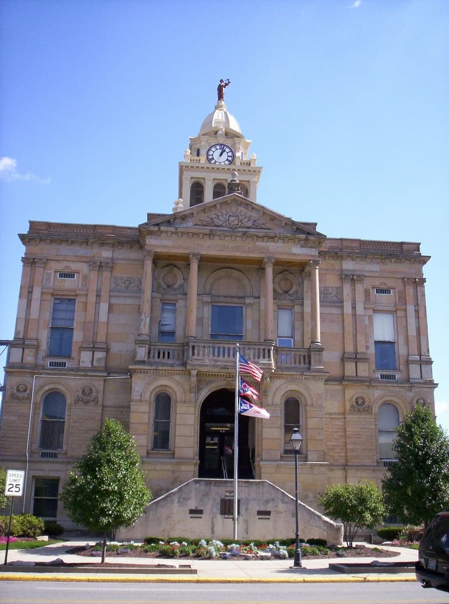
Photo: Wikipedia
Strategic Assessment of Marion County
Meaningful friction. Expect exposure to either population pressure, blast zones, or natural disaster risk. Consider buying a retreat property.
What does the Strategic Assessment tell us?
Our Strategic Assessment grades tactical survivability of an area. Major population centers, military targets, fallout zones, natural disasters, and border exposure all drive risk — lower exposure means a more defensible position in a crisis.
This is heavily inspired by Joel Skousen's Strategic Relocation book. Highly recommended you checkout the book ($)What does this tell us?
Our Strategic Assessment grades tactical survivability of an area. Major population centers, military targets, fallout zones, natural disasters, and border exposure all drive risk — lower exposure means a more defensible position in a crisis.
This is heavily inspired by Joel Skousen's Strategic Relocation book. Highly recommended you checkout the book ($)Strategic Pillars

Key Distances
Strategic Assessment Analysis
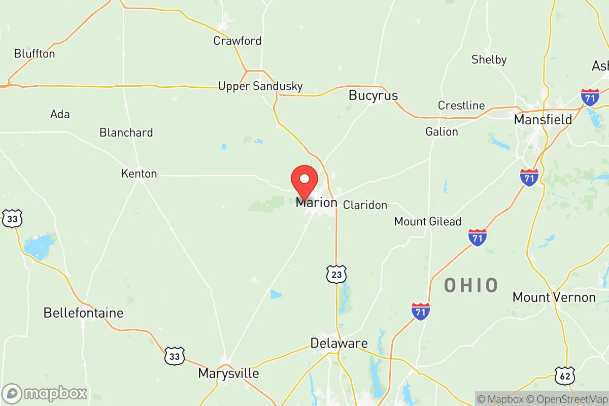
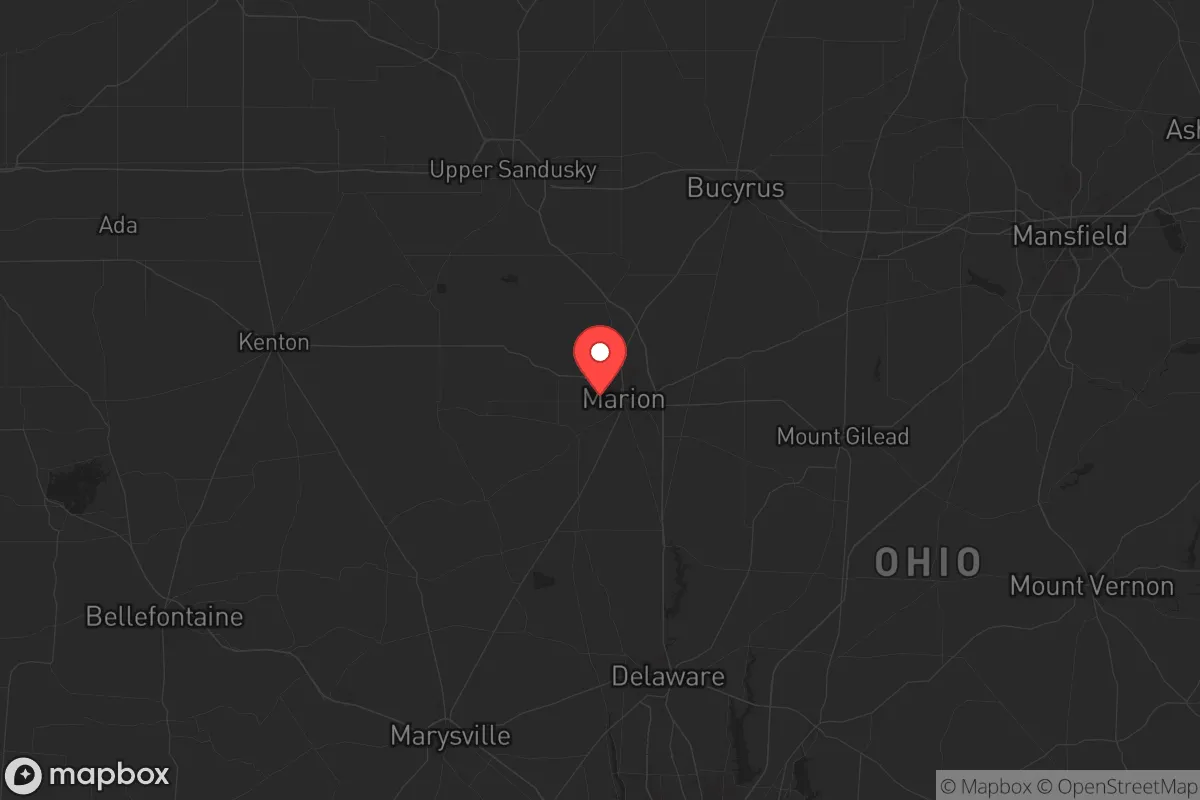
Marion County, Ohio, sits in a sweet spot that resilience-minded relocators rarely find: close enough to Great Lakes shipping and Midwest infrastructure to keep supply lines open, but far enough from the major population centers and strategic targets that would draw the worst of a national crisis. The county’s agricultural base, modest population density, and position along the Scioto River corridor give it a quiet defensibility that larger counties simply cannot match. For a conservative-leaning individual or family looking to step off the grid of vulnerability, Marion County offers a foundation that holds up under stress—without requiring a bunker in the middle of nowhere.
Geographic position and natural advantages for long-term stability
Marion County sits about 45 miles north of Columbus and 60 miles south of Toledo, placing it in the middle of Ohio’s agricultural heartland. The county is bisected by U.S. Route 23, a major north-south artery that connects to I-75 and I-70 within an hour’s drive. That’s a logistical advantage: you can reach regional distribution hubs in Delaware, Upper Sandusky, or Bucyrus without ever touching a major interstate bottleneck. The Scioto River runs through the eastern part of the county, providing a reliable surface water source, and the underlying glacial till aquifer supplies decent well water across most of the rural townships. The terrain is flat to gently rolling—ideal for small-scale agriculture, livestock, or even a market garden. The county’s 66,000 residents are spread across Marion city (the county seat, ~35,000) and a handful of smaller towns like Prospect, Caledonia, and LaRue, meaning you can find a few acres with privacy without being completely isolated. The climate is typical Midwest: four distinct seasons, adequate rainfall (about 38 inches annually), and a growing season long enough for corn, soybeans, and most garden vegetables. No hurricane risk, no wildfire risk, no earthquake risk—just the occasional winter storm that tests your generator.
Risks, exposures, and proximity to fallout-relevant landmarks
No location is risk-free, and Marion County has its share of concerns for the prepper-minded. The biggest is proximity to the Davis-Besse Nuclear Power Station, located about 50 miles north near Oak Harbor on Lake Erie. A worst-case release from Davis-Besse would put Marion County in the downwind plume path under certain weather patterns, though the distance provides significant dilution. More immediate is the Marion Correctional Institution, a medium-security prison just east of Marion city. In a collapse scenario, a prison with 2,500 inmates could become a security liability—though it’s not a high-value target for external attack. The county also sits within 100 miles of Wright-Patterson Air Force Base near Dayton, a major strategic asset that could draw secondary effects in a conflict. On the plus side, Marion County has no major refineries, no chemical plants of national significance, and no intermodal rail hubs that would make it a primary target. The biggest industrial presence is the Whirlpool Corporation plant in Marion city, which manufactures appliances—useful for post-crisis rebuilding but not a military objective. The county’s rural character means that most fallout-relevant landmarks are outside its borders, not inside them. That’s a significant advantage over counties that host power plants, rail yards, or military installations directly.
Practical resilience for a relocator: food, water, energy, and defensibility
Marion County’s practical resilience comes down to three things: soil, water, and community scale. The county is part of Ohio’s Corn Belt, with rich, well-drained soils that support both row crops and small-scale farming. You can buy a 5- to 20-acre parcel in the townships around Prospect or Caledonia for $5,000–$8,000 per acre—far cheaper than comparable land near Columbus or Cleveland. Many of these properties already have a well and a septic system, and the county’s building codes are minimal outside city limits. For water, the Scioto River and its tributaries (the Olentangy River runs just east of the county) provide surface sources, while the glacial aquifer yields good groundwater at depths of 50–150 feet. A hand pump or solar-powered well pump can keep you in water when the grid goes down. For energy, the county is served by Ohio Edison, but the rural areas have enough open space for a modest solar array or a small wind turbine. Natural gas is available in most townships, and propane delivery is common. Defensibility is where Marion County shines: the flat terrain means you can see threats coming from a distance, and the county’s road network is sparse enough that a single blocked road can funnel traffic away from your property. The local sheriff’s office is professional but understaffed (about 30 deputies for the whole county), so you’ll need to rely on yourself and your neighbors. That’s not a bug—it’s a feature for those who prefer mutual aid over government dependency. The county has a strong tradition of hunting, fishing, and gardening, and the local Amish and Mennonite communities in neighboring Holmes and Knox counties provide a network of skills and trade that can be invaluable in a prolonged crisis.
The overall strategic picture for Marion County is one of quiet competence. It’s not a flashy location—you won’t find prepper expos or survivalist compounds here. What you will find is a working agricultural county with decent infrastructure, low crime rates (violent crime in Marion city is about half the national average), and a population that still remembers how to fix things themselves. The biggest downside is the lack of immediate wilderness: you’re not going to disappear into the woods like you could in West Virginia or Montana. But for a relocator who wants to be prepared for civic unrest, supply chain disruptions, or a major disaster, Marion County offers a balance of access and isolation that’s hard to beat in the Midwest. The county’s position along the Scioto River corridor gives you a natural escape route north toward Lake Erie or south toward the Ohio River if things get truly bad. And in the meantime, you can live a normal life—good schools, low property taxes, and neighbors who wave when you drive by. That’s the kind of resilience that doesn’t require a bunker. It just requires showing up.
* Values derived from national, state, county, city and local statistics and may differ in a specific area. Last updated: 2026-05-14T18:15:14.000Z
Narrative content on this page is AI-generated and may contain mistakes. Verify any details that matter before acting on them.
ReloMaps may earn a commission from affiliate links at no extra cost to you.