
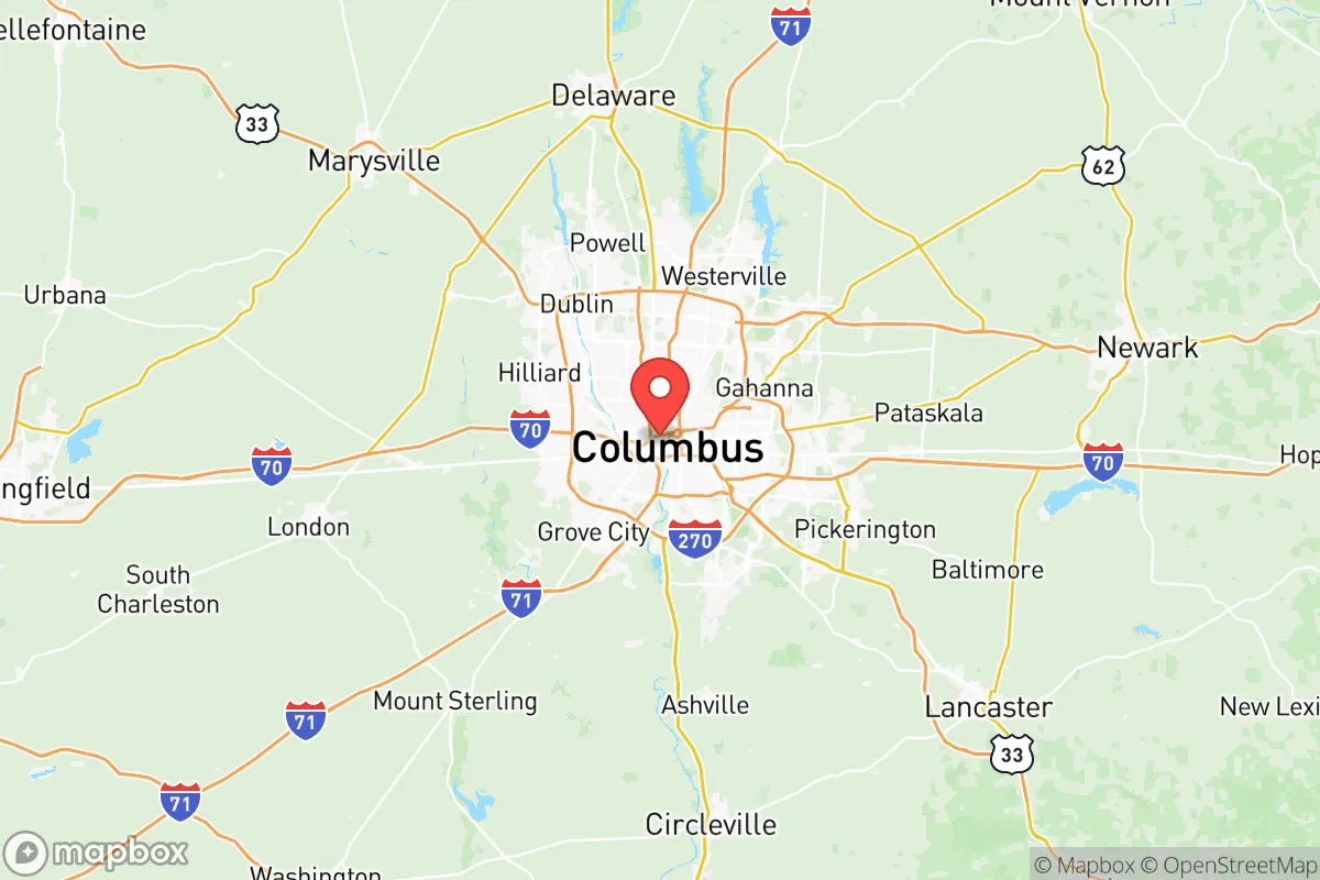
Photo: Wikipedia
Strategic Assessment of Franklin County
Multiple tactical vulnerabilities. Population density, target proximity, or disaster risk are likely compounding. A retreat property and exit planning is required.
What does the Strategic Assessment tell us?
Our Strategic Assessment grades tactical survivability of an area. Major population centers, military targets, fallout zones, natural disasters, and border exposure all drive risk — lower exposure means a more defensible position in a crisis.
This is heavily inspired by Joel Skousen's Strategic Relocation book. Highly recommended you checkout the book ($)What does this tell us?
Our Strategic Assessment grades tactical survivability of an area. Major population centers, military targets, fallout zones, natural disasters, and border exposure all drive risk — lower exposure means a more defensible position in a crisis.
This is heavily inspired by Joel Skousen's Strategic Relocation book. Highly recommended you checkout the book ($)Strategic Pillars

Key Distances
Strategic Assessment Analysis
Franklin County, Ohio, anchored by Columbus, presents a mixed strategic picture for the relocation-minded reader focused on resilience and self-sufficiency. Its central location within the state offers logistical advantages, but its status as a major population and government hub introduces significant vulnerabilities that a serious disaster-preparedness assessment must weigh. While the county benefits from robust infrastructure and economic diversity, its proximity to high-value targets and reliance on complex supply chains demand careful consideration for those prioritizing long-term security and independence.
Geographic position and natural advantages for a resilient lifestyle
Franklin County sits in the heart of Ohio, roughly 90 miles from the Ohio River to the south and 60 miles from Lake Erie to the north, placing it within a temperate climate zone that avoids the extremes of coastal hurricane zones or the seismic risks of the West Coast. The area is characterized by gently rolling plains and fertile soil, part of the Corn Belt, which historically supports agriculture. The Scioto River and its tributaries, including the Olentangy River, run through the county, providing a natural water source, though not one that is easily defensible or isolated. The county's position at the intersection of Interstates 70 and 71, along with major rail lines, makes it a transportation nexus, which is a double-edged sword: it facilitates supply movement but also concentrates traffic and potential disruption. For a relocator, the flat terrain and moderate climate reduce some natural disaster risks, but the lack of natural barriers—mountains, dense forests, or significant elevation changes—means the area is inherently exposed to any regional event. The presence of the Darby Creek and Big Darby Creek watersheds offers some rural pockets, particularly in the western and southern parts of the county, where small towns like Grove City and Hilliard provide a buffer from the urban core, though they remain within the broader metropolitan footprint.
Risks, exposures, and proximity to fallout-relevant landmarks
The most significant risk for Franklin County is its concentration of high-value government and infrastructure targets. Columbus is the state capital, home to the Ohio Statehouse, the Ohio Supreme Court, and numerous state and federal agencies. The county also hosts Rickenbacker Air National Guard Base and the Defense Supply Center Columbus, a major military logistics hub that supplies everything from food to spare parts to U.S. forces globally. These installations, along with the Ohio State University campus—a massive research and medical complex—are potential targets for both conventional and asymmetric threats. Additionally, the county has several industrial facilities, including chemical plants and manufacturing sites along the Scioto River corridor, that could pose secondary hazards in a disaster. While Franklin County lacks the refinery corridors of Houston or the port vulnerabilities of coastal cities, its role as a transportation and logistics hub means that a disruption at a key rail yard or interstate interchange could cripple supply chains for the entire region. The county is also within a few hundred miles of major population centers like Chicago, Detroit, and Pittsburgh, meaning that any large-scale event affecting the Midwest would likely have cascading effects here. For the relocator, the proximity to these targets and the density of the Columbus metro area—over 1.3 million residents in the county alone—means that evacuation routes could become choked quickly, and the area is not a "hideaway" location.
Practical resilience for a relocator: food, water, energy, and defensibility
For a family or individual looking to establish a self-sufficient homestead, Franklin County offers a mixed bag. The agricultural land in the outer townships—such as those around Plain City and New Albany—is fertile and suitable for small-scale farming, with a growing season of roughly 150 days. Local farmers' markets and community-supported agriculture (CSA) programs are abundant, providing access to fresh food even in non-crisis times. However, the county's water supply is heavily dependent on the Scioto River and the Olentangy River, both of which are subject to agricultural runoff and industrial pollution, making well water a more reliable option for those outside city limits. The energy grid is typical of the Midwest, with a mix of coal, natural gas, and nuclear power from the nearby Davis-Besse Nuclear Power Station (about 100 miles north) and the Perry Nuclear Power Plant (about 120 miles northeast). While the grid is generally stable, it is vulnerable to cyberattacks and weather-related outages, such as the 2008 windstorm that left hundreds of thousands without power for days. For defensibility, the flat terrain offers little natural cover, and the suburban sprawl means that most properties are visible from roads and neighboring homes. Rural properties in the far western parts of the county, near the Madison County line, offer more seclusion, but they are still within a 30-minute drive of Columbus. The county's strong law enforcement presence and emergency services are a plus for immediate response, but they also mean that any significant event would draw attention and resources away from outlying areas. For the serious prepper, Franklin County is not a bug-out location; it is a place to build community resilience through local networks, stored supplies, and a focus on self-reliance within a suburban or exurban setting.
The overall strategic picture for Franklin County is one of calculated trade-offs. It offers a stable economy, good infrastructure, and access to resources that make daily life comfortable, but it lacks the isolation and natural defenses that many disaster-preparedness advocates seek. For a relocator who prioritizes community engagement, economic opportunity, and a moderate climate over remote self-sufficiency, the county's outer townships and small towns provide a viable middle ground. However, anyone moving here with a serious focus on long-term resilience should invest in off-grid capabilities—solar panels, well water, food storage—and develop a robust evacuation plan that accounts for the area's central location and potential for gridlock. Franklin County is not a fortress, but for those willing to put in the work, it can be a functional base of operations in an uncertain future.

* Values derived from national, state, county, city and local statistics and may differ in a specific area. Last updated: 2026-07-12T14:38:37.000Z
Narrative content on this page is AI-generated and may contain mistakes. Verify any details that matter before acting on them.
ReloMaps may earn a commission from affiliate links at no extra cost to you.

