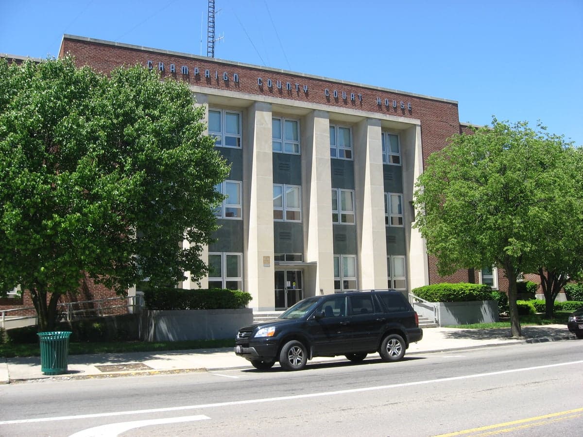
Photo: Wikipedia
Strategic Assessment of Champaign County
Workable tactical position. Some exposure to population density or targets, but generally defensible in a crisis.
What does the Strategic Assessment tell us?
Our Strategic Assessment grades tactical survivability of an area. Major population centers, military targets, fallout zones, natural disasters, and border exposure all drive risk — lower exposure means a more defensible position in a crisis.
This is heavily inspired by Joel Skousen's Strategic Relocation book. Highly recommended you checkout the book ($)What does this tell us?
Our Strategic Assessment grades tactical survivability of an area. Major population centers, military targets, fallout zones, natural disasters, and border exposure all drive risk — lower exposure means a more defensible position in a crisis.
This is heavily inspired by Joel Skousen's Strategic Relocation book. Highly recommended you checkout the book ($)Strategic Pillars

Key Distances
Strategic Assessment Analysis
Champaign County, Ohio, sits in a strategic sweet spot for the relocation-minded reader: far enough from major metropolitan targets to avoid the worst of any fallout scenario, yet close enough to Columbus, Dayton, and Cincinnati to access supply chains and medical infrastructure when conditions are stable. The county’s agricultural base, modest population density (roughly 38,000 residents), and position along the I-70 corridor give it a resilience profile that rewards a serious look. Urbana, the county seat, anchors a region where self-sufficiency is not a lifestyle choice but a historical norm—and that matters when you’re thinking about long-term preparedness.
Geographic position and natural advantages for long-term stability
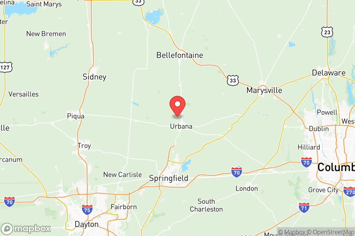
Champaign County occupies a transitional zone between the glaciated till plains of western Ohio and the more rolling terrain of the state’s central region. This means flat, fertile farmland dominates the western half, while the eastern side near the Mad River and its tributaries offers modest elevation changes and wooded cover—both useful for defensibility and water access. The county sits roughly 45 miles west of Columbus and 35 miles northeast of Dayton, placing it outside the immediate blast radius of any major city while still within a two-hour drive of three major metro areas. For a relocator, that distance is a deliberate buffer: close enough to trade or seek specialized medical care, far enough to avoid the chaos of a metropolitan evacuation. The Mad River, which flows through Urbana and into the Great Miami River, provides a reliable surface water source, and the county’s groundwater aquifers are generally productive, though well depth and yield vary by location. The area’s natural hazards are limited—tornadoes are the primary threat, with the county averaging one or two touchdowns per decade, and flooding is confined to low-lying areas near the Mad River and smaller creeks. No active fault lines, no hurricane storm surge, no wildfire risk of consequence. The climate is continental, with cold winters and humid summers, but the growing season (roughly 170 days) supports a wide range of crops and gardens, a practical advantage for anyone serious about food self-sufficiency.
Risks, exposures, and proximity to fallout-relevant landmarks
The most significant risk for Champaign County in a national emergency scenario is its position relative to high-value targets in Ohio and the broader Midwest. The county lies about 60 miles southwest of Wright-Patterson Air Force Base near Dayton, a major Air Force research and logistics hub that would be a primary target in any conflict involving strategic bombing or missile strikes. Fallout from a strike on Wright-Patterson could reach Champaign County depending on wind direction, though the distance provides a meaningful buffer—the county is outside the immediate thermal and blast zone. Similarly, the county is roughly 70 miles from the industrial and refinery corridor along the Ohio River near Cincinnati and 80 miles from the Columbus metropolitan area, which hosts state government, data centers, and logistics hubs. None of these are within the likely ground-zero radius of a single warhead, but the cumulative risk of fallout from multiple strikes in the Ohio River Valley is non-trivial. On the plus side, Champaign County contains no major military installations, no nuclear power plants (the closest is the Davis-Besse plant near Toledo, about 120 miles north), and no large-scale chemical or petroleum storage facilities. The county’s own infrastructure—grain elevators, fertilizer depots, and a few light industrial sites in Urbana—presents minimal secondary hazard. For a relocator, the key takeaway is that Champaign County is not a primary target, but it sits within the fallout shadow of several high-value ones. A basement or interior room with a HEPA filter and a two-week supply of potassium iodide would be prudent, not paranoid.
Practical resilience for a relocator: food, water, energy, and defensibility
Champaign County’s agricultural character is its strongest resilience asset. The county is a major producer of corn, soybeans, and wheat, with a robust network of local grain elevators and farm supply cooperatives. Livestock operations—primarily cattle and hogs—are common, and there is a growing interest in pastured poultry and small-scale vegetable farming among the Amish and Mennonite communities in the eastern part of the county near the towns of Mutual and Woodstock. For a relocator, this means food availability is not abstract; you can buy direct from farmers at roadside stands, join a CSA, or barter with neighbors. Water access is generally good, but reliance on municipal systems in Urbana and the smaller villages (Mechanicsburg, St. Paris, North Lewisburg) means a private well is the more resilient choice for those buying rural property. Well depths in the county range from 40 to 120 feet, with yields typically sufficient for a household and small garden. Energy resilience is mixed: the county is served by Dayton Power & Light (now AES Ohio), and power outages from storms or grid failures are common enough that many rural residents already own generators. Solar potential is moderate—Ohio averages about 170 sunny days per year—but a ground-mounted array with battery storage is feasible for a determined off-grid setup. Natural gas is available in most towns, but rural properties often rely on propane or fuel oil. Defensibility is where Champaign County shines for the prepared relocator. The county’s low population density, combined with a culture of self-reliance and a strong network of rural roads, makes it difficult for any outside group to exert control. The terrain is open enough to provide good lines of sight, but wooded creek bottoms and rolling hills offer cover. The local law enforcement presence is minimal outside Urbana, and the county sheriff’s office covers a large area with limited deputies—meaning that in a crisis, community self-policing and mutual aid would be the de facto security model. The Amish and Mennonite populations, concentrated around the towns of Christiansburg and Catawba, are a practical resource: they already live without grid dependence and possess skills in animal husbandry, blacksmithing, and construction that would be invaluable in a long-term disruption.
The overall strategic picture for Champaign County is one of calculated trade-offs. It is not a remote mountain redoubt—you can see the glow of Columbus from the eastern edge of the county on a clear night—but it is far enough from the blast zones to give you a fighting chance. The agricultural base, water availability, and community culture of self-sufficiency are genuine advantages that few suburban or exurban locations can match. The risks are real but manageable: fallout from a strike on Wright-Patterson or the Ohio River corridor is the primary concern, and the county’s flat terrain offers limited natural cover for a long-term retreat. For the relocator who wants a place where they can grow food, dig a well, and know their neighbors, Champaign County is a solid, unglamorous choice. It will not make you rich, and it will not make you famous, but it might keep you alive when the lights go out.

* Values derived from national, state, county, city and local statistics and may differ in a specific area. Last updated: 2026-08-19T01:47:36.000Z
Narrative content on this page is AI-generated and may contain mistakes. Verify any details that matter before acting on them.
ReloMaps may earn a commission from affiliate links at no extra cost to you.

