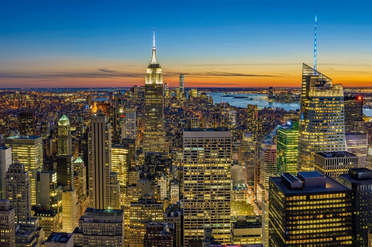
Photo: Wikipedia
Strategic Assessment of NYC, NY
High tactical risk. This location is likely close to major population centers, strategic targets, or sits in a high-disaster corridor. A retreat property and careful exit planning is required.
What does the Strategic Assessment tell us?
Our Strategic Assessment grades tactical survivability of an area. Major population centers, military targets, fallout zones, natural disasters, and border exposure all drive risk — lower exposure means a more defensible position in a crisis.
This is heavily inspired by Joel Skousen's Strategic Relocation book. Highly recommended you checkout the book ($)What does this tell us?
Our Strategic Assessment grades tactical survivability of an area. Major population centers, military targets, fallout zones, natural disasters, and border exposure all drive risk — lower exposure means a more defensible position in a crisis.
This is heavily inspired by Joel Skousen's Strategic Relocation book. Highly recommended you checkout the book ($)Strategic Pillars

Key Distances
Regional Safe Places
Below is our recommended "safe zones" in New York and the surrounding area based on our strategic heuristics. For most people, it's unrealistic to live in a “safe zone” full-time due to work, family or other personal reasons. They tend to be more rural. However, many of these areas are perfect for second homes and retreat properties that double as a vacation home or even a short-term rental.




Important Note: For informational purposes only. This does not mean nothing bad ever happens in the green zones. Please use common sense. This is based on public data and modeled with AI. We tried to take a conservative approach but mistakes happen. We update this regularly as new information becomes available.
Solar Generator Recommendations
Backup power matters more here than in safer locations. We've picked three solar generators across budgets and capacity tiers — start with the budget unit if you only need a few essentials, or step up if you want to run a fridge and HVAC for days at a time.

Jackery Portable Power Station Explorer 300
Budget OptionPower on the Go: Weighing only 11 lbs, it's convenient to set up and store with book-sized foldable solar panels

BLUETTI Portable Power Station AC180
Designed for both indoor and outdoor scenarios, AC180 is highly capable as it has a robost capacity and continuous output power.

EF ECOFLOW DELTA Pro Ultra Power Station
Upgraded PickEcoFlow DELTA Pro Ultra is a whole-home energy system designed to grow with your family. Integrated with the Smart Home Panel 2, it scales to meet your evolving energy needs — keeping your home powered, intelligent, and secure through every stage of life.
We earn a commission, at no additional cost to you.
Strategic Assessment Analysis
New York City’s strategic position is defined by a paradox: immense economic and logistical power paired with extreme vulnerability to disruption. For a relocator prioritizing disaster readiness and self-sufficiency, the city offers world-class infrastructure and dense resources, but its concentration of people, critical infrastructure, and symbolic targets creates a risk profile that demands serious consideration. The five boroughs sit at the confluence of the Hudson and East Rivers, a natural harbor that has driven its growth but also places it squarely in the path of Atlantic storm systems and sea-level rise.
Geographic position and natural advantages: what the harbor and coastline provide
NYC’s geographic advantages are primarily logistical. The deepwater harbor, protected by Long Island and Staten Island, historically made it the nation’s premier port, and it remains a hub for container shipping, fuel imports, and food distribution. The city’s position at the mouth of the Hudson River gives it access to a 315-mile navigable waterway into upstate New York, a potential evacuation route and supply corridor. The surrounding topography is mostly flat coastal plain, with modest elevation gains in northern Manhattan and parts of Staten Island (reaching about 400 feet above sea level). This lack of natural barriers means the city is exposed to weather systems from all directions, but it also means no significant wildfire or landslide risk within the urban core. The region’s water supply is a genuine asset: the New York City water system draws from a protected watershed in the Catskill Mountains, delivering over 1 billion gallons of unfiltered water daily via gravity-fed aqueducts. This system is resilient to drought and contamination compared to surface reservoirs in drier regions, though it remains vulnerable to sabotage or earthquake damage to the aging Delaware Aqueduct.
Risks, exposures, and proximity to fallout-relevant landmarks
The city’s risk profile is dominated by man-made threats and climate-driven natural hazards. NYC is the highest-value target in the United States for any adversary considering a kinetic or cyber attack, housing the United Nations headquarters, Wall Street, major media networks, and critical financial infrastructure. Proximity to these landmarks is a negative for a relocator seeking to avoid fallout zones: a detonation at the Financial District would render lower Manhattan uninhabitable for weeks, and prevailing winds would carry fallout across Brooklyn and Queens. The city also hosts three major airports (JFK, LaGuardia, Newark), two nuclear power plants within 50 miles (Indian Point, now decommissioned but still storing spent fuel, and Millstone in Connecticut), and the Port of New York and New Jersey, a target for maritime disruption. Natural hazards are equally serious. Hurricane Sandy in 2012 flooded 51 square miles of the city, caused $19 billion in damage, and knocked out power to 2 million people for days. Sea-level rise in New York Harbor has already exceeded 1.5 feet since 1900, and projections show another 1–2 feet by 2050, making storm surge a growing threat to low-lying neighborhoods in Lower Manhattan, Red Hook, the Rockaways, and Staten Island. The city’s aging infrastructure—subway tunnels, steam pipes, and electrical substations—is concentrated in flood-prone zones, creating cascading failure risks during any major event.
Practical resilience for a relocator: food, water, energy, and defensibility
For a relocator thinking about self-sufficiency, NYC presents severe challenges. The city has only about 3–5 days of food supply on hand at any given time, relying on just-in-time delivery via truck, rail, and barge. A port closure, bridge shutdown, or fuel shortage would trigger shortages within a week. The same applies to medical supplies, fuel, and consumer goods. Water is more secure, as the Catskill system provides gravity-fed flow even without power, but distribution depends on electric pumps for high-rise buildings and pressure zones. In a prolonged blackout, only ground-floor residents in low-rise buildings would have running water. Energy is the weakest link: NYC’s grid is heavily dependent on natural gas pipelines and submarine cables from New Jersey, and the city has limited local generation capacity. Con Edison’s peak demand exceeds 13,000 megawatts, but in-city generation covers only about 60% of that, leaving the rest vulnerable to transmission disruptions. Rooftop solar is feasible but limited by shading and building ownership issues; battery storage is rare. Defensibility is poor: the city’s density, reliance on elevators and subways, and lack of private green space make it difficult to shelter in place or evacuate without a vehicle. Over 55% of NYC households do not own a car, and the road network is prone to gridlock during emergencies. The NYPD and National Guard can secure key zones, but the sheer population density (27,000 people per square mile in Manhattan) makes any large-scale evacuation or quarantine logistically nightmarish. For a relocator seeking a bug-out location, NYC is a poor base; for someone committed to urban resilience, the strategy must involve deep pre-positioning of supplies, a robust community network, and a clear evacuation plan to upstate or New England.
The overall strategic picture for NYC is one of high reward paired with high risk. The city’s economic opportunities, cultural density, and world-class medical infrastructure are unmatched, but its exposure to natural disasters, man-made threats, and logistical fragility makes it a poor choice for anyone prioritizing self-sufficiency and disaster readiness. A relocator with a conservative leaning toward preparedness should view NYC as a place to visit or work temporarily, not to plant deep roots without a serious contingency plan. The most prudent approach is to treat the five boroughs as a high-value, high-risk asset—one that requires constant monitoring of threats, a stocked go-bag, and a pre-planned route to safer ground in the Hudson Valley or western Connecticut. For those who choose to stay, investing in a community emergency response team (CERT) membership, a portable generator, and a water filtration system is not optional—it is baseline survival gear.

* Values derived from national, state, county, city and local statistics and may differ in a specific area. Last updated: 2026-09-29T17:18:47.000Z
Narrative content on this page is AI-generated and may contain mistakes. Verify any details that matter before acting on them.
ReloMaps may earn a commission from affiliate links at no extra cost to you.

