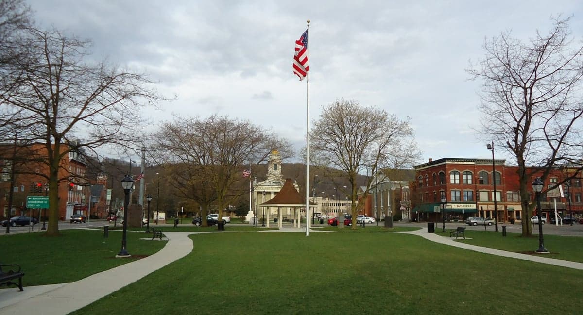
Photo: Wikipedia
Strategic Assessment of Norwich, NY
Meaningful friction. Expect exposure to either population pressure, blast zones, or natural disaster risk. Consider buying a retreat property.
What does the Strategic Assessment tell us?
Our Strategic Assessment grades tactical survivability of an area. Major population centers, military targets, fallout zones, natural disasters, and border exposure all drive risk — lower exposure means a more defensible position in a crisis.
This is heavily inspired by Joel Skousen's Strategic Relocation book. Highly recommended you checkout the book ($)What does this tell us?
Our Strategic Assessment grades tactical survivability of an area. Major population centers, military targets, fallout zones, natural disasters, and border exposure all drive risk — lower exposure means a more defensible position in a crisis.
This is heavily inspired by Joel Skousen's Strategic Relocation book. Highly recommended you checkout the book ($)Strategic Pillars

Key Distances
Regional Safe Places
Below is our recommended "safe zones" in New York and the surrounding area based on our strategic heuristics. For most people, it's unrealistic to live in a “safe zone” full-time due to work, family or other personal reasons. They tend to be more rural. However, many of these areas are perfect for second homes and retreat properties that double as a vacation home or even a short-term rental.




Important Note: For informational purposes only. This does not mean nothing bad ever happens in the green zones. Please use common sense. This is based on public data and modeled with AI. We tried to take a conservative approach but mistakes happen. We update this regularly as new information becomes available.
Solar Generator Recommendations
Backup power matters more here than in safer locations. We've picked three solar generators across budgets and capacity tiers — start with the budget unit if you only need a few essentials, or step up if you want to run a fridge and HVAC for days at a time.

Jackery Portable Power Station Explorer 300
Budget OptionPower on the Go: Weighing only 11 lbs, it's convenient to set up and store with book-sized foldable solar panels

BLUETTI Portable Power Station AC180
Designed for both indoor and outdoor scenarios, AC180 is highly capable as it has a robost capacity and continuous output power.

EF ECOFLOW DELTA Pro Ultra Power Station
Upgraded PickEcoFlow DELTA Pro Ultra is a whole-home energy system designed to grow with your family. Integrated with the Smart Home Panel 2, it scales to meet your evolving energy needs — keeping your home powered, intelligent, and secure through every stage of life.
We earn a commission, at no additional cost to you.
Strategic Assessment Analysis
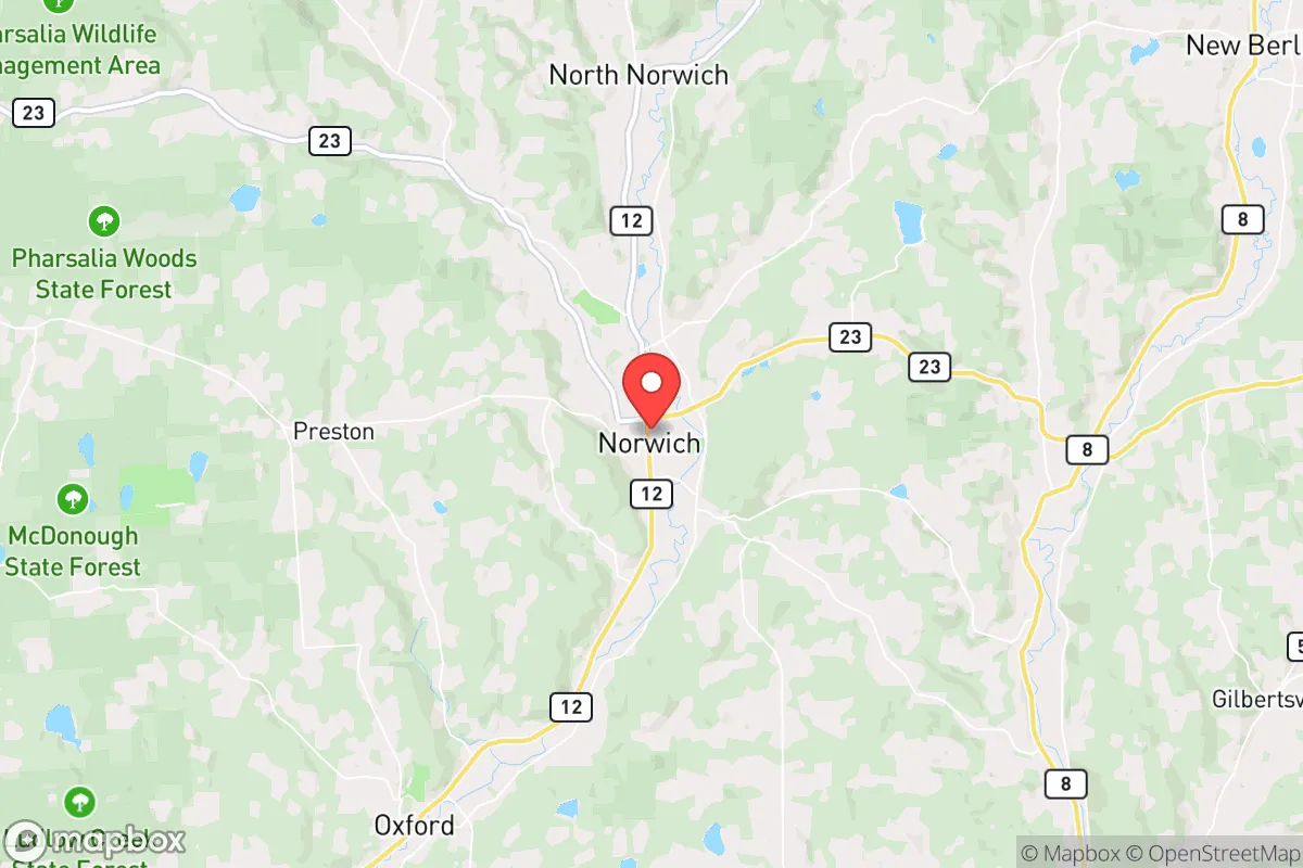
Norwich, New York, offers a compelling mix of geographic insulation and practical self-sufficiency for the relocation-minded reader prioritizing resilience. Situated in Chenango County, roughly 50 miles from Binghamton and 90 miles from Syracuse, it sits far enough from major metropolitan targets to reduce fallout risks while remaining connected enough for supply runs. The area’s hilly terrain, cold winters, and agricultural base create a natural buffer against both man-made and natural disruptions, though no location is without trade-offs.
Geographic position and natural advantages for long-term stability
Norwich’s location in the Chenango River Valley, surrounded by the rolling hills of the Southern Tier, provides several structural advantages for disaster preparedness. The region is not situated near any major fault lines, reducing earthquake risk, and its inland position means it is largely insulated from hurricane storm surge and coastal flooding. The hills themselves offer natural defensibility—elevated properties with clear sightlines are common, and the area’s low population density (Chenango County has roughly 47 people per square mile) means less competition for resources during a crisis. The Chenango River and its tributaries provide a reliable freshwater source, though flooding along the river corridor is a periodic concern—the 2011 and 2019 floods caused localized damage in low-lying parts of the city. For a relocator, the key takeaway is that Norwich sits in a “Goldilocks zone”: close enough to regional hubs for resupply, but far enough to avoid being a primary target or a choke point for evacuation routes.
Risks, exposures, and proximity to fallout-relevant landmarks
The primary man-made risk for Norwich is its proximity to the New York City metro area and the state’s nuclear infrastructure. While Norwich is over 150 miles from Manhattan, it lies within the broader fallout dispersion zone for a major urban nuclear event, depending on prevailing winds. More immediately, the Nine Mile Point Nuclear Generating Station (near Oswego, about 90 miles northwest) and the FitzPatrick Nuclear Power Plant (also near Oswego) are within a 100-mile radius. In the event of a catastrophic release, Norwich would likely be downwind of these facilities during typical westerly wind patterns, though the distance and intervening hills would dilute any plume significantly. The area also sits near the New York State Thruway (I-90) corridor, a major transportation artery that could become a target or a chokepoint during a crisis. On the natural side, the region faces moderate risks from winter storms (Norwich averages 70+ inches of snow annually), ice storms, and occasional tornadoes (Chenango County has seen EF-1 and EF-2 events historically). Flooding along the Chenango River and its tributaries is the most consistent natural hazard, with FEMA-designated flood zones in the city’s southern and eastern sections. For a relocator, the strategic calculus is that Norwich’s risks are manageable with preparation—unlike coastal or urban areas, the threats here are slow-moving (winter storms, floods) rather than sudden and catastrophic.
Practical resilience for a relocator: food, water, energy, and defensibility
Norwich’s practical resilience is strong, particularly for those willing to invest in off-grid infrastructure. The surrounding Chenango County is agricultural, with dairy farms, cornfields, and small-scale vegetable operations within a 20-minute drive. The Norwich Farmers Market (May through October) and local CSAs provide direct access to fresh produce, and the area’s hunting culture means deer and small game are abundant for those with a license. For long-term food storage, the region’s cold winters allow for natural root cellaring, and the city’s grocery stores (Tops Markets, Price Chopper) are well-stocked but could face supply chain disruptions during a regional emergency. Water is a strong point: the Chenango River and numerous creeks (like the Canasawacta Creek) offer surface water, and groundwater is generally accessible via wells at depths of 50–150 feet. The city’s municipal water system draws from the river, but a private well with a hand pump or a backup generator provides true independence. Energy resilience is moderate—Norwich is served by NYSEG, and power outages from winter storms are common (lasting 4–12 hours on average, with multi-day outages possible during ice storms). Solar potential is decent (the area gets about 4.5 peak sun hours per day), but winter cloud cover can reduce output. Wood heat is a major advantage: the region is heavily forested, and wood stoves are common in rural homes. Defensibility is aided by the hilly terrain and low population density—a property on a hill with a long driveway and clear sightlines offers natural security. However, the city itself (population ~7,000) is not defensible in a grid-down scenario; the ideal setup is a rural property within 10–15 miles of Norwich, where you can access the city’s resources (hardware stores, medical clinic, farm supply) without being dependent on its infrastructure.
Overall, Norwich presents a balanced strategic picture for the resilience-minded relocator. It avoids the high-risk coastal and urban zones while offering a solid foundation in food, water, and energy self-sufficiency. The trade-offs are real: harsh winters, periodic flooding, and a moderate proximity to nuclear infrastructure require active preparation rather than passive safety. For a single individual or family willing to invest in a well, solar panels, a wood stove, and a flood-resistant property, Norwich provides a defensible, resource-rich base that can weather most disruptions. It is not a bunker—it is a working, living community where resilience comes from practical adaptation rather than isolation. The key is to choose your specific property wisely: avoid the floodplain, secure a reliable water source, and build a network with local farmers and tradespeople. In a crisis, Norwich’s greatest asset is not its geography alone, but the self-reliant culture of its residents.

* Values derived from national, state, county, city and local statistics and may differ in a specific area. Last updated: 2026-09-20T20:12:53.000Z
Narrative content on this page is AI-generated and may contain mistakes. Verify any details that matter before acting on them.
ReloMaps may earn a commission from affiliate links at no extra cost to you.

