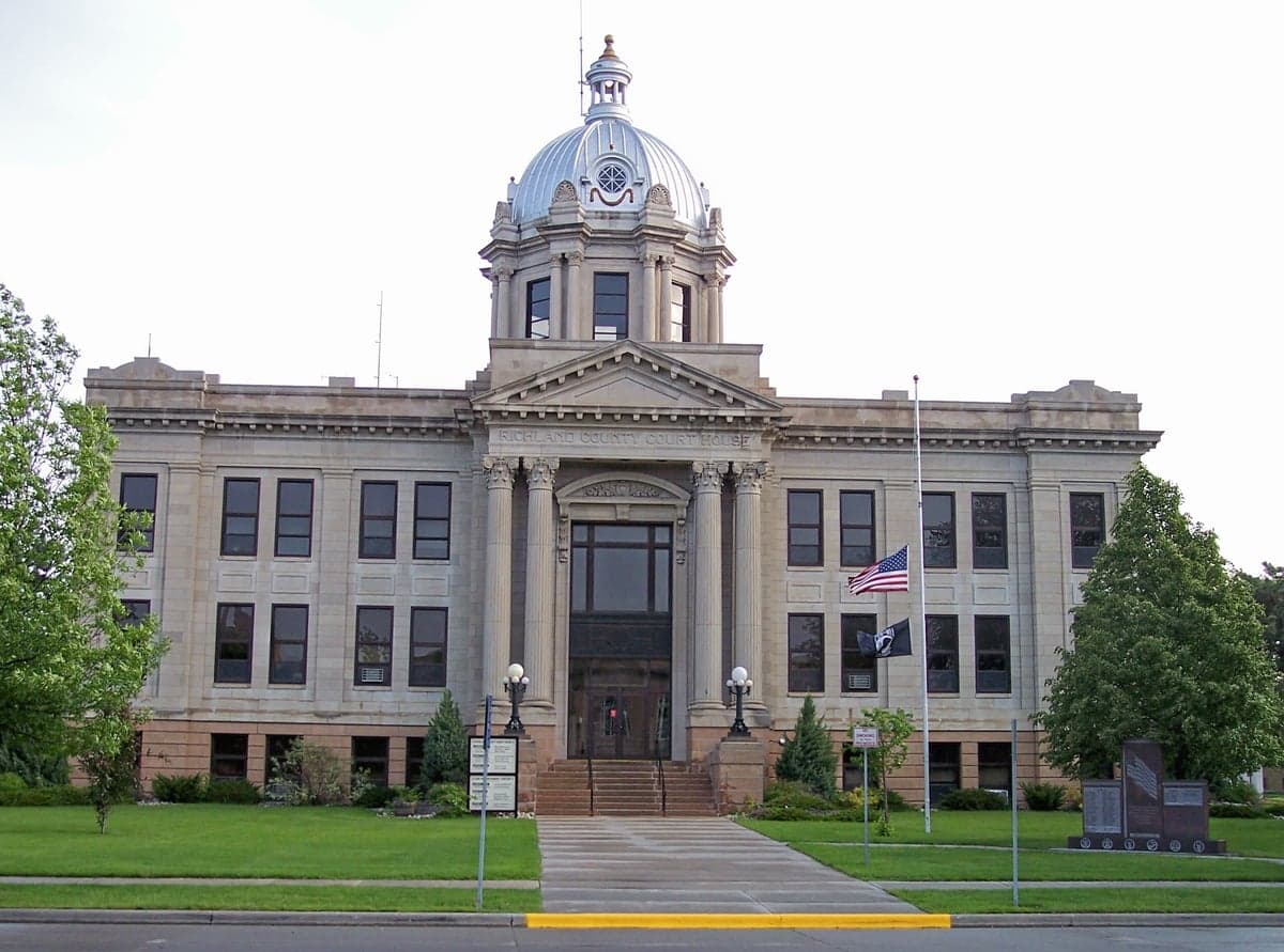
Photo: Wikipedia
Strategic Assessment of Richland County
Strong survivability profile. Good buffer from population centers, with manageable environmental and tactical risks.
What does the Strategic Assessment tell us?
Our Strategic Assessment grades tactical survivability of an area. Major population centers, military targets, fallout zones, natural disasters, and border exposure all drive risk — lower exposure means a more defensible position in a crisis.
This is heavily inspired by Joel Skousen's Strategic Relocation book. Highly recommended you checkout the book ($)What does this tell us?
Our Strategic Assessment grades tactical survivability of an area. Major population centers, military targets, fallout zones, natural disasters, and border exposure all drive risk — lower exposure means a more defensible position in a crisis.
This is heavily inspired by Joel Skousen's Strategic Relocation book. Highly recommended you checkout the book ($)Strategic Pillars

Key Distances
Strategic Assessment Analysis
Richland County, North Dakota, offers a compelling mix of geographic isolation and practical self-sufficiency for those prioritizing disaster readiness. Its position along the Red River provides fertile ground and water access, while its distance from major metropolitan targets like Minneapolis-St. Paul or the missile fields of central Montana gives it a strategic buffer. For a relocator focused on resilience, this corner of the state presents a low-profile, resource-rich environment that balances agricultural stability with a small-town, conservative social fabric.
Geographic position and natural advantages for self-sufficiency
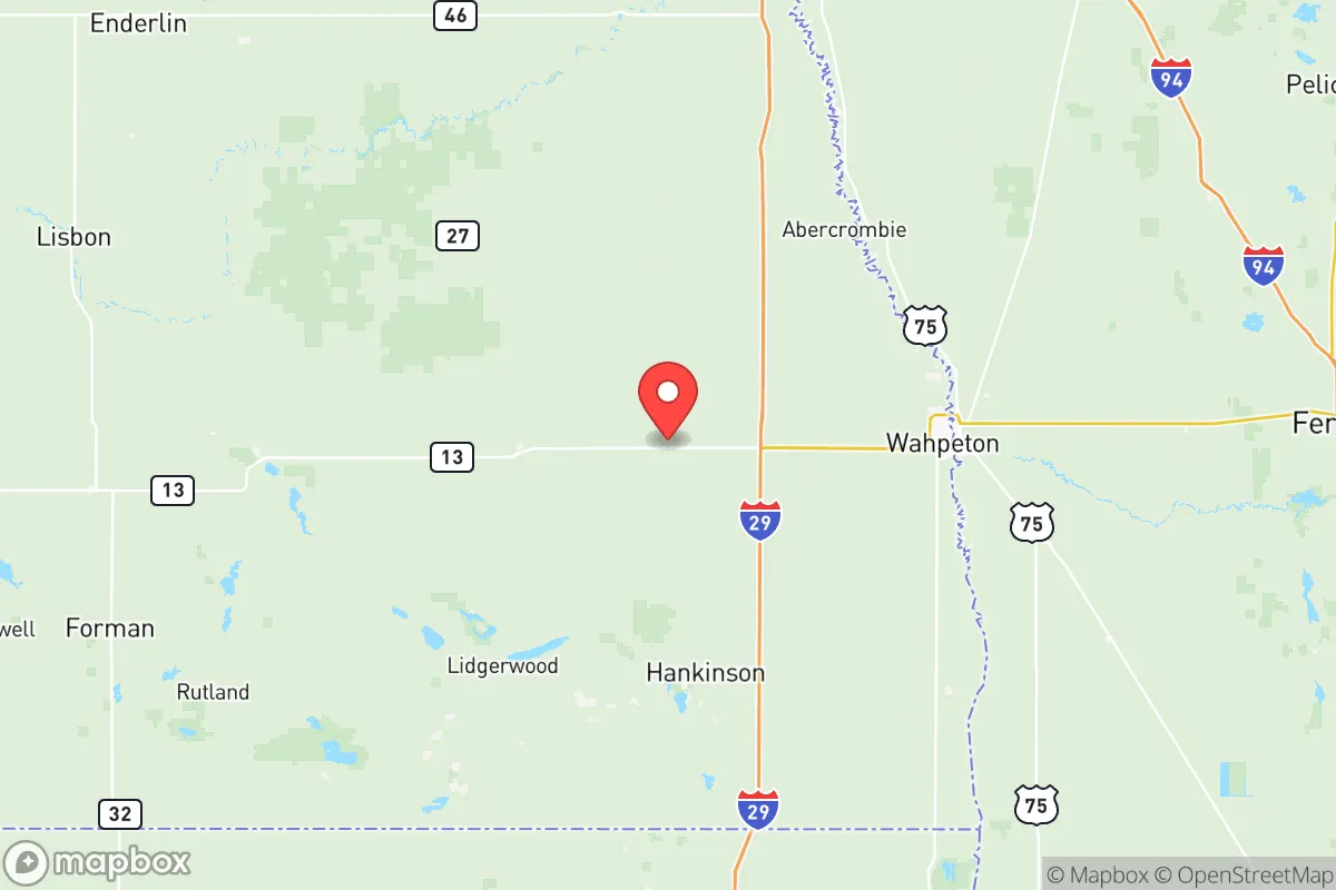
Richland County sits in the southeastern corner of North Dakota, bordered by Minnesota to the east and South Dakota to the south. The county seat, Wahpeton, lies at the confluence of the Red and Otter Tail Rivers, providing a reliable surface water source that is rare in the arid High Plains. This riverine geography supports some of the most productive farmland in the state, with corn, soybeans, and wheat dominating the landscape. The flat, open terrain offers long sightlines and minimal natural cover, which is a double-edged sword for defensibility but excellent for situational awareness. The county's position places it roughly 45 miles south of Fargo, a regional hub, but far enough to avoid the fallout and chaos that would likely follow a strike on that city's infrastructure or the nearby Air Force bases. The Sheyenne River also cuts through the western part of the county, adding another layer of water security for those who homestead near it.
Risks, exposures, and proximity to fallout-relevant landmarks
While Richland County is far from the highest-value targets on the continent, it is not immune to secondary risks. The most significant exposure is the Fargo-Moorhead metropolitan area, which sits just north of the county line and contains rail yards, grain elevators, and a regional airport that could be targeted in a broader conflict. Additionally, the Hankinson Renewable Energy Facility, a major ethanol plant in the county, represents a fixed industrial asset that could draw attention or become a secondary hazard if compromised. The county is also within 100 miles of the Grand Forks Air Force Base, a major strategic asset that would be a primary target in any nuclear exchange. Prevailing westerly winds mean fallout from a strike on the missile fields in central North Dakota or Montana would largely bypass Richland County, but a direct hit on Grand Forks could still deposit particulate matter depending on the weather. Flooding from the Red River is a recurring natural risk, particularly in the spring, and has historically overwhelmed low-lying areas around Wahpeton and Fairmount. Tornadoes are a seasonal threat, though the county sits outside the most active corridor of the Great Plains.
Practical resilience for a relocator: food, water, energy, and defensibility
Richland County's agricultural base makes it one of the more food-secure areas in the Upper Midwest. Local grain elevators and co-ops in towns like Wyndmere and Lidgerwood provide bulk food storage capacity, and the prevalence of family farms means a relocator with land can integrate into a local food network relatively quickly. Water is abundant from the Red River and its tributaries, but treatment infrastructure is concentrated in Wahpeton and a few smaller towns, so rural residents should plan for private well drilling or rainwater catchment. The county is served by the Coal Creek Station power plant, a large coal-fired facility located about 30 miles northwest in McLean County, which provides reliable baseload electricity to the region. However, this plant is also a potential target, so a backup solar or generator setup is advisable. Defensibility is moderate: the open farmland offers little natural cover, but the low population density (roughly 16,000 people across 1,400 square miles) means a determined group can secure a perimeter around a homestead or small community. The county's network of county roads and state highways, including Interstate 29 along the eastern edge, provides good egress but also potential avenues for refugees from Fargo or Minneapolis.
Overall, Richland County presents a solid strategic option for a relocator who values agricultural self-sufficiency and geographic buffer over immediate access to urban amenities. Its risks are real but manageable: flooding requires site selection, the proximity to Grand Forks and Fargo introduces some fallout exposure, and the open terrain demands a proactive security posture. For a family or individual willing to invest in water treatment, backup power, and community integration, this county offers a defensible, resource-rich base of operations in a region that is likely to remain relatively stable in a crisis. The conservative, agrarian culture aligns well with a preparedness mindset, and the local economy—rooted in farming, manufacturing, and energy—provides a foundation for long-term sustainability.

* Values derived from national, state, county, city and local statistics and may differ in a specific area. Last updated: 2026-07-02T16:30:03.000Z
Narrative content on this page is AI-generated and may contain mistakes. Verify any details that matter before acting on them.
ReloMaps may earn a commission from affiliate links at no extra cost to you.

