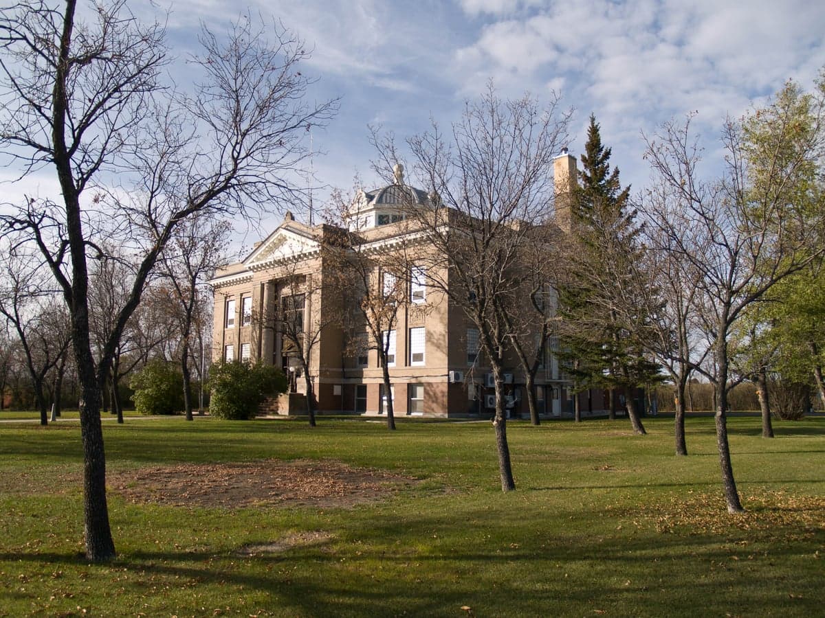
Photo: Wikipedia
Strategic Assessment of Mountrail County
Strong survivability profile. Good buffer from population centers, with manageable environmental and tactical risks.
What does the Strategic Assessment tell us?
Our Strategic Assessment grades tactical survivability of an area. Major population centers, military targets, fallout zones, natural disasters, and border exposure all drive risk — lower exposure means a more defensible position in a crisis.
This is heavily inspired by Joel Skousen's Strategic Relocation book. Highly recommended you checkout the book ($)What does this tell us?
Our Strategic Assessment grades tactical survivability of an area. Major population centers, military targets, fallout zones, natural disasters, and border exposure all drive risk — lower exposure means a more defensible position in a crisis.
This is heavily inspired by Joel Skousen's Strategic Relocation book. Highly recommended you checkout the book ($)Strategic Pillars

Key Distances
Strategic Assessment Analysis
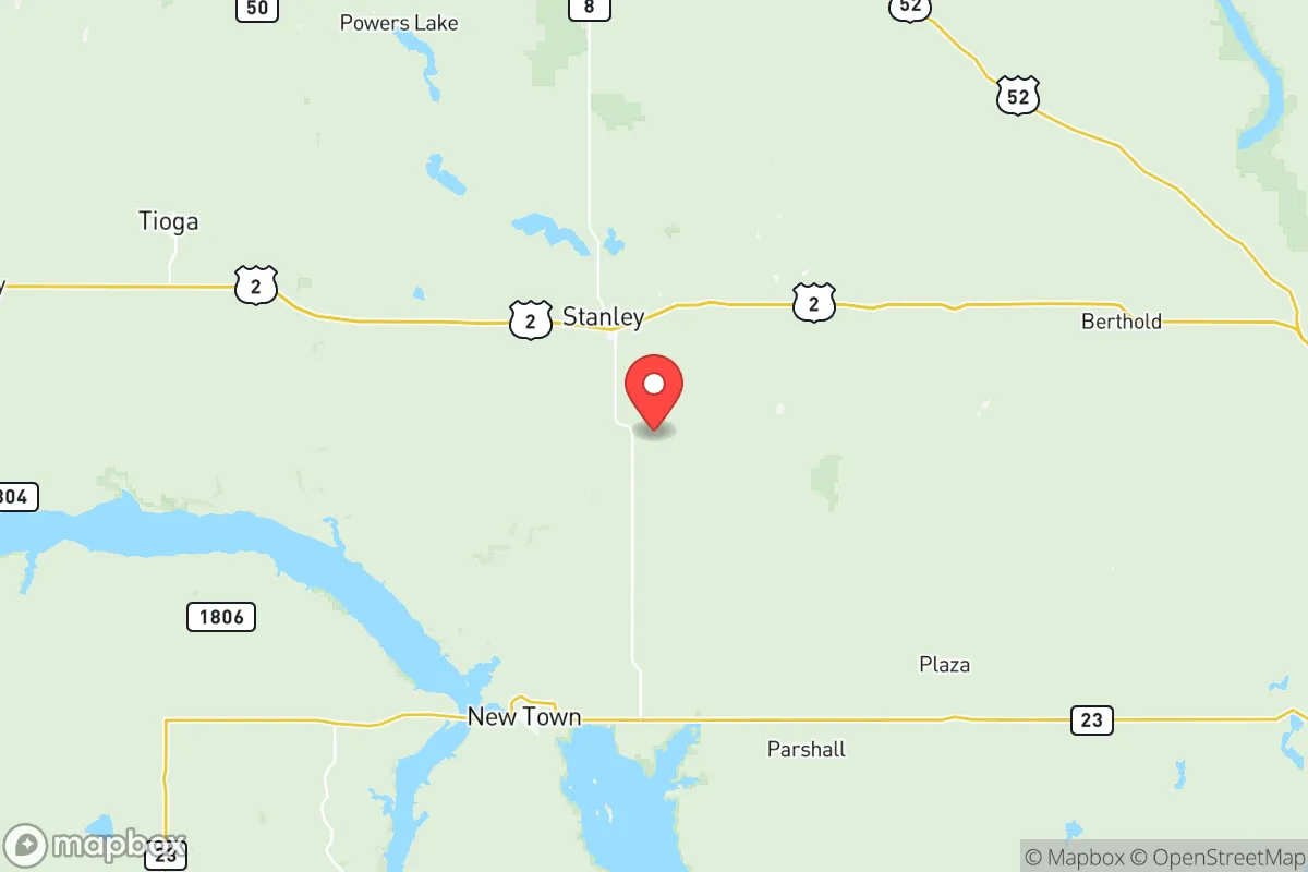
Mountrail County, North Dakota, offers a compelling strategic profile for relocators prioritizing resilience and self-sufficiency, anchored by its remote location in the Bakken oil fields and its distance from major metropolitan targets. The county seat, Stanley, and the largest city, Williston (which extends into adjacent Williams County), sit roughly 60 miles from the Canadian border and over 400 miles from the nearest major population center like Minneapolis or Denver. This geographic isolation, combined with the region's energy independence and low population density—roughly 10,000 residents spread across 1,900 square miles—creates a natural buffer against both cascading infrastructure failures and the fallout-related risks associated with larger cities. The area's economic backbone, oil and gas extraction, has also driven investment in local infrastructure, including a regional airport and upgraded road networks, which bolsters its logistical resilience.
Geographic position and natural advantages for long-term stability
Mountrail County's position in the Missouri Plateau provides a mix of open prairie and the rugged badlands of the Little Missouri River Valley, offering both defensible terrain and access to the Missouri River system. The Missouri River, which forms the county's western boundary near the town of New Town, is a critical water resource—one of the largest and most reliable in the Great Plains. This river, along with Lake Sakakawea (a massive reservoir created by the Garrison Dam), ensures a year-round freshwater supply that is rare in the arid West. The county's elevation, averaging 2,000 feet above sea level, places it above the flood-prone lowlands of the Red River Valley to the east, while its distance from the Pacific and Atlantic coasts eliminates hurricane and tsunami risks. The region's cold, dry climate also naturally suppresses many vector-borne diseases and limits the spread of airborne contaminants, as prevailing westerly winds tend to disperse rather than concentrate particulates. For a relocator, the combination of a major river, a large reservoir, and low population density creates a strong foundation for long-term water and food security, provided one is prepared for harsh winters that can drop below -30°F.
Risks, exposures, and proximity to fallout-relevant landmarks
While Mountrail County is far from the high-value targets of the East and West Coasts, it is not without its own risk profile. The county sits at the heart of the Bakken shale formation, which hosts thousands of active oil and gas wells, processing plants, and storage facilities. The town of Stanley is home to a major oil terminal and rail loading facility, and the nearby Tioga area has a natural gas processing plant. A major industrial accident—such as a well blowout, pipeline rupture, or refinery fire—could release toxic gases (like hydrogen sulfide) or cause localized contamination. Additionally, the county's proximity to the Fort Berthold Indian Reservation (home to the Mandan, Hidatsa, and Arikara Nation) and the Garrison Dam—a critical piece of national infrastructure—introduces a low but non-zero risk of targeted disruption. The dam, located about 30 miles south of the county line, controls the flow of the Missouri River; a catastrophic failure would flood downstream areas but would not directly threaten Mountrail County's higher ground. For a relocator, the primary man-made risk is not nuclear fallout from a distant strike but rather the potential for localized industrial accidents or supply chain disruptions tied to the energy sector. The nearest major military installation is Minot Air Force Base, roughly 80 miles east, which houses nuclear-capable B-52 bombers and is a potential target in a major conflict—though prevailing winds would carry fallout eastward, away from Mountrail County.
Practical resilience for a relocator: food, water, energy, and defensibility
For someone serious about self-sufficiency, Mountrail County offers a rare combination of abundant energy, water, and land. The Bakken oil fields mean that natural gas and propane are locally produced and relatively cheap, making heating and backup power generation more feasible than in most rural areas. The Missouri River and Lake Sakakawea provide a reliable water source for irrigation, livestock, and household use, though well drilling is common and water rights must be secured. The county's agricultural base is primarily wheat, barley, and cattle ranching, with local farmers' markets in Stanley and Williston offering seasonal produce. However, the growing season is short (roughly 110 frost-free days), so serious food production requires greenhouses or cold-hardy crops. Defensibility is a mixed picture: the open prairie offers long sightlines but limited natural cover, while the badlands and river breaks provide more concealment. The county's low population density means that a determined individual or family can secure a homestead with significant buffer from neighbors, but it also means that emergency services are sparse—the nearest hospital is in Williston, and law enforcement coverage is thin. For a relocator, the key trade-off is between the area's strong resource base (energy, water, land) and its harsh climate and isolation, which demand a high level of personal preparedness, including reliable vehicles, winter survival gear, and the ability to store food for months at a time.
Overall, Mountrail County presents a strong strategic option for a relocator who values resource independence and geographic buffer over proximity to urban amenities. Its energy wealth, water access, and distance from major population centers make it one of the more resilient locations in the continental United States for those willing to adapt to extreme winters and a remote lifestyle. The risks are real but localized—industrial accidents in the oil fields, supply chain fragility, and the long-term environmental impacts of extraction—rather than the diffuse threats of coastal flooding, nuclear fallout, or civil unrest that plague denser areas. For a family or individual with the skills and resources to thrive in a cold, isolated environment, Mountrail County offers a defensible, resource-rich base that is unlikely to be a primary target in any national-scale disruption. The decision ultimately hinges on whether the trade-offs of extreme climate and limited social infrastructure are acceptable in exchange for a high degree of strategic autonomy.

* Values derived from national, state, county, city and local statistics and may differ in a specific area. Last updated: 2026-06-16T22:39:29.000Z
Narrative content on this page is AI-generated and may contain mistakes. Verify any details that matter before acting on them.
ReloMaps may earn a commission from affiliate links at no extra cost to you.

