
Photo: Wikipedia
Strategic Assessment of Foster County
Deep buffer from population centers and strategic targets. Low natural disaster risk and minimal exposure to border or coastal threats.
What does the Strategic Assessment tell us?
Our Strategic Assessment grades tactical survivability of an area. Major population centers, military targets, fallout zones, natural disasters, and border exposure all drive risk — lower exposure means a more defensible position in a crisis.
This is heavily inspired by Joel Skousen's Strategic Relocation book. Highly recommended you checkout the book ($)What does this tell us?
Our Strategic Assessment grades tactical survivability of an area. Major population centers, military targets, fallout zones, natural disasters, and border exposure all drive risk — lower exposure means a more defensible position in a crisis.
This is heavily inspired by Joel Skousen's Strategic Relocation book. Highly recommended you checkout the book ($)Strategic Pillars

Key Distances
Strategic Assessment Analysis
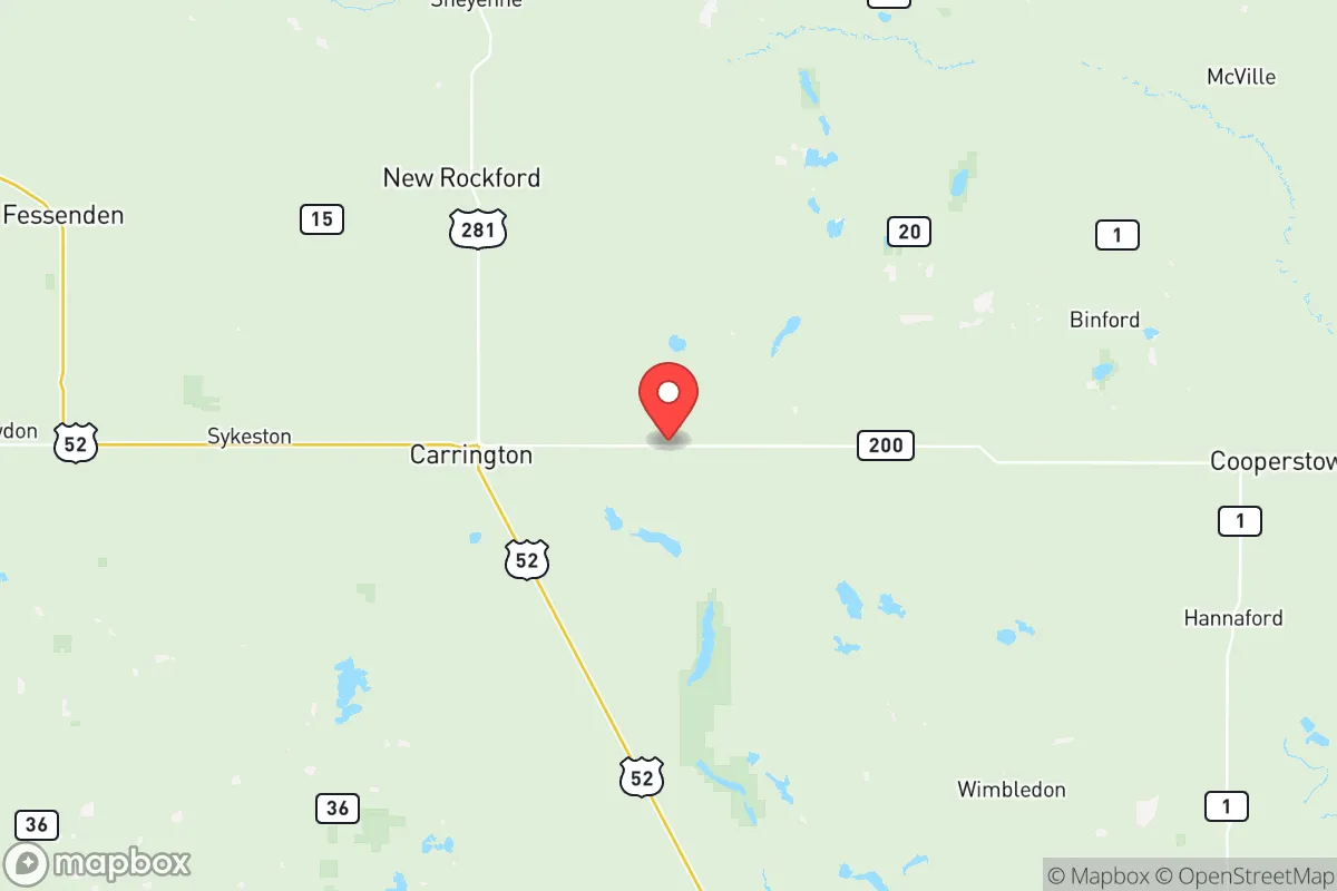
Foster County, North Dakota, offers a strategic relocation option for those prioritizing resilience, self-sufficiency, and distance from major metropolitan vulnerabilities. Located in the east-central part of the state, the county's seat and largest town, Carrington, serves as the primary population and service hub, while smaller communities like Glenfield and Barlow provide even deeper rural isolation. The area's low population density, agricultural economic base, and position well outside the fallout zones of major strategic targets make it a compelling choice for individuals and families who value preparedness without the alarmist overtones of more heavily fortified retreat locations.
Geographic position and natural advantages for long-term security
Foster County sits in a region defined by the flat, fertile plains of the James River Valley, a landscape that offers both agricultural bounty and clear sightlines. The county's location roughly 90 miles from the Fargo-Moorhead metro area and over 100 miles from the Minot Air Force Base area places it outside the likely primary blast and fallout zones of major strategic targets. The James River itself runs through the county, providing a surface water source that, while not a major river, is a reliable hydrological feature for irrigation and potential emergency supply. The local topography lacks significant elevation changes, which means no natural barriers to wind or movement, but also means no chokepoints that could be easily cut off. The region's cold continental climate, with harsh winters and short growing seasons, acts as a natural filter against casual migration, ensuring that only those truly committed to self-sufficiency will consider the area. The county's position in the Drift Prairie ecoregion means deep, fertile soils that have supported wheat, corn, and soybean production for generations, a foundational advantage for any long-term food security plan.
Risks, exposures, and proximity to fallout-relevant landmarks
The primary risk for Foster County is not direct attack but rather the potential for fallout drift from more strategically significant locations. Minot Air Force Base, home to nuclear-capable B-52 bombers and Minuteman III missile silos, lies approximately 110 miles to the northwest. Prevailing westerly winds could carry fallout from a strike on Minot across parts of central North Dakota, though Foster County's distance and the dispersion patterns of airborne particulates reduce the immediate lethal threat. The Grand Forks Air Force Base, another strategic asset, sits roughly 100 miles to the north-northeast. Neither location places Foster County in the high-risk "hot zone" of immediate fallout, but the county is within the broader regional risk envelope. The Spiritwood Energy Park, located near Jamestown about 40 miles west, includes a coal-fired power plant and an ethanol facility, representing a secondary industrial target that could produce localized contamination or infrastructure disruption. Natural risks are comparatively low: tornadoes occur but are less frequent than in the Plains states to the south, and the region's flat terrain means no landslide or flood risks of significant concern, though spring snowmelt can cause localized flooding along the James River. The county's distance from the Bakken oil fields in western North Dakota means it avoids the industrial accident risks and population pressures associated with that energy boom.
Practical resilience for a relocator: food, water, energy, and defensibility
Foster County's practical resilience is anchored in its agricultural economy and low population density. The county's 3,000 residents spread across roughly 650 square miles means a density of fewer than 5 people per square mile, offering exceptional privacy and defensible space. Carrington serves as a regional agricultural processing center, with grain elevators, a soybean processing plant, and the Dakota Growers Pasta Company facility, which provides local food processing capacity that could be leveraged in a disruption scenario. The Carrington Research Extension Center, part of North Dakota State University, conducts agricultural research that could be a knowledge asset for serious homesteaders. Water availability is moderate: the James River provides surface water, and the underlying Dakota Aquifer offers groundwater potential, though well depths in the region typically range from 100 to 300 feet. Energy infrastructure includes natural gas distribution in Carrington and rural electric cooperatives serving the broader county, but the area is not near any major pipeline hubs or refineries, which reduces both risk and convenience. The county's road network is sparse, with U.S. Highway 281 and North Dakota Highway 9 as the primary arteries, meaning any major evacuation or supply movement would be funneled through a limited number of routes. Defensibility is inherently high due to low population density and the ability to monitor approach routes across open terrain, but the lack of natural cover means any defensive posture would rely on distance and visibility rather than concealment.
The overall strategic picture for Foster County is one of moderate resilience with specific trade-offs. The area offers genuine advantages for those seeking to avoid the vulnerabilities of urban centers and strategic targets: low population density, agricultural self-sufficiency potential, and distance from primary fallout zones. The trade-offs include a harsh climate that limits growing seasons and requires significant energy investment for winter survival, limited medical infrastructure (the nearest hospital with comprehensive services is in Jamestown), and a location that, while not a primary target, sits within the broader fallout risk envelope of two major Air Force bases. For a relocator who values practical preparedness over ideological prepping, Foster County represents a grounded option: not a bunker, but a working agricultural community where self-sufficiency is a cultural norm rather than a survivalist affectation. The county's resilience is not in its fortifications but in its economic base, low population, and distance from the concentrations of people and infrastructure that would be primary targets in any major conflict.

* Values derived from national, state, county, city and local statistics and may differ in a specific area. Last updated: 2026-06-20T01:46:42.000Z
Narrative content on this page is AI-generated and may contain mistakes. Verify any details that matter before acting on them.
ReloMaps may earn a commission from affiliate links at no extra cost to you.

