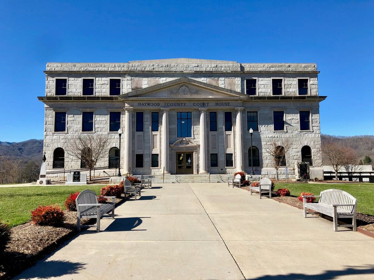
Photo: Wikipedia
Strategic Assessment of Haywood County
Workable tactical position. Some exposure to population density or targets, but generally defensible in a crisis.
What does the Strategic Assessment tell us?
Our Strategic Assessment grades tactical survivability of an area. Major population centers, military targets, fallout zones, natural disasters, and border exposure all drive risk — lower exposure means a more defensible position in a crisis.
This is heavily inspired by Joel Skousen's Strategic Relocation book. Highly recommended you checkout the book ($)What does this tell us?
Our Strategic Assessment grades tactical survivability of an area. Major population centers, military targets, fallout zones, natural disasters, and border exposure all drive risk — lower exposure means a more defensible position in a crisis.
This is heavily inspired by Joel Skousen's Strategic Relocation book. Highly recommended you checkout the book ($)Strategic Pillars

Key Distances
Strategic Assessment Analysis
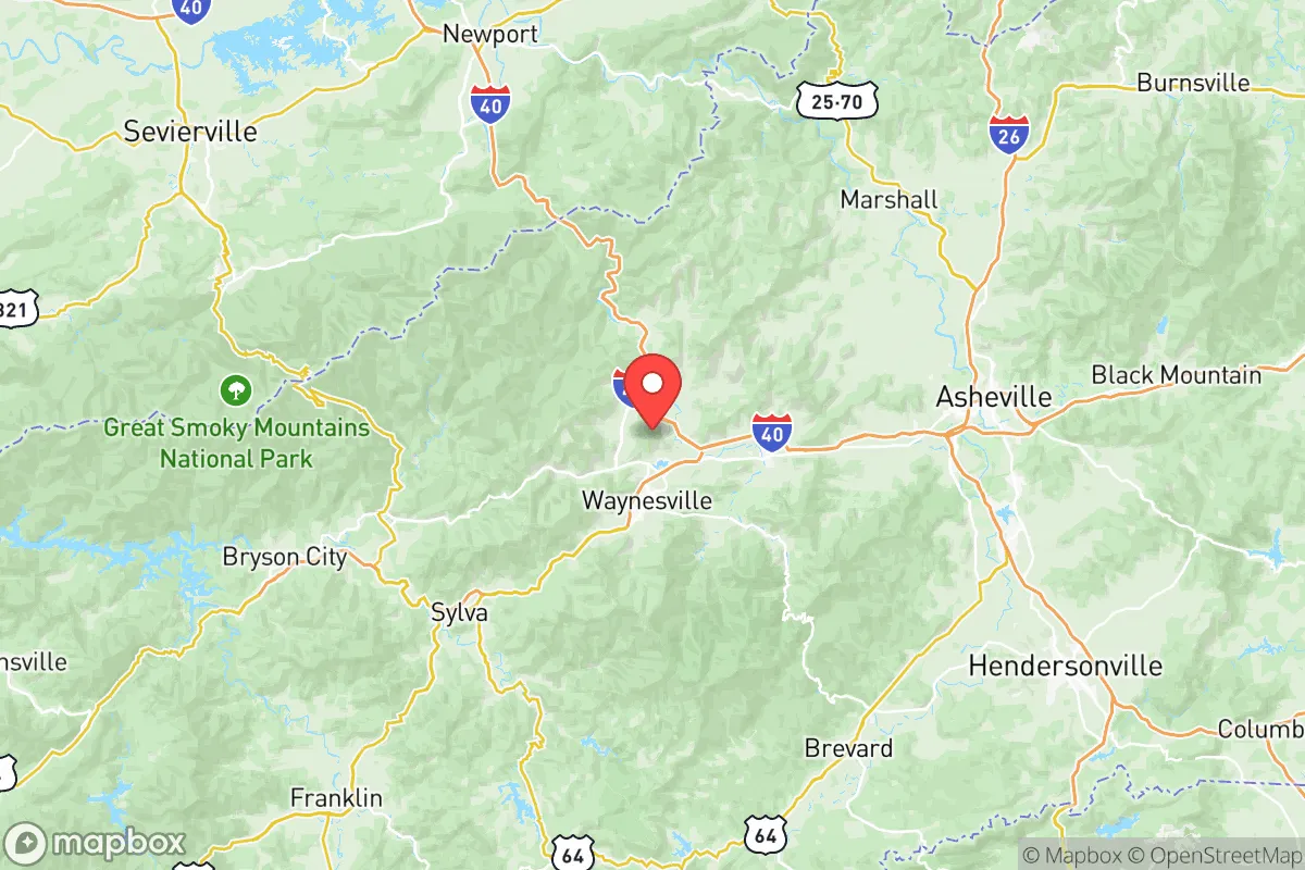
Haywood County, North Carolina, offers a strategic blend of mountain isolation and practical accessibility that makes it a serious contender for relocation-minded individuals and families. Anchored by the county seat of Waynesville and the town of Maggie Valley, the area sits in a natural bowl between the Great Smoky Mountains National Park and the Pisgah National Forest, providing a defensible position that is roughly 30 miles from the nearest interstate corridor. For those weighing disaster preparedness against the need for employment and supply access, Haywood County presents a compelling middle ground—remote enough to avoid the chaos of urban evacuation zones, yet connected enough to sustain daily life.
Geographic position and natural defensive advantages
Haywood County's topography is its primary strategic asset. The county is bisected by the Pigeon River and surrounded by ridgelines that rise to over 6,000 feet, with Cold Mountain and Max Patch serving as prominent landmarks. This terrain creates natural chokepoints on the few roads entering the county—primarily I-40 through the Pigeon River Gorge and US-276 from the south—which can be monitored and, if necessary, controlled more easily than the sprawling flatlands of the Piedmont. The elevation ranges from roughly 2,000 feet in the valley floors to over 6,000 feet at the highest peaks, offering multiple microclimates and a significant advantage in terms of natural water supply; the county receives an average of 50-60 inches of rainfall annually, feeding numerous creeks and springs that are less susceptible to drought than lower-elevation water sources.
Compared to the broader region, Haywood County sits far from the major metropolitan targets that would concern a preparedness-minded relocator. It is approximately 160 miles from Charlotte, 130 miles from Knoxville, and 200 miles from Atlanta—distances that place it outside the immediate blast and fallout zones of any major urban or military target. The nearest significant military installation is the Army's Camp Lejeune, over 300 miles to the east, and the Oak Ridge National Laboratory complex in Tennessee is roughly 90 miles to the northwest, which is a consideration but not a proximity that would place Haywood County in a primary risk corridor. The county's position on the eastern edge of the Smokies means prevailing westerly winds would carry any fallout from a Tennessee Valley event away from the county's populated areas, a detail that matters for long-term planning.
Risk exposure and proximity to fallout-relevant landmarks
While Haywood County's isolation is a strength, it is not without exposure. The most significant man-made risk comes from the I-40 corridor itself, which carries hazardous materials daily through the Pigeon River Gorge; a derailment or tanker incident on this route could disrupt the county's primary supply line and potentially contaminate the Pigeon River, which is the county's main watershed. Additionally, the county sits within the Tennessee Valley Authority's electrical grid, meaning a grid-down event in the broader region would affect Haywood County just as it would any other area, though the mountainous terrain makes power line repair slower and more challenging than in flat terrain.
Natural risks are more pronounced than man-made ones. The county is in a moderate seismic zone—the nearby Eastern Tennessee Seismic Zone produces small tremors regularly, and a larger event could trigger landslides on the steep slopes that define the county's geography. Flooding is a recurring concern in the low-lying areas of Waynesville and Canton, particularly along Richland Creek and the Pigeon River; Hurricane Fred in 2021 caused significant flooding in these areas, and the remnants of hurricanes routinely dump heavy rain on the mountains. Winter storms are a more predictable challenge, with the higher elevations receiving 20-40 inches of snow annually and ice storms occasionally taking down power lines for days at a time. The county's wildfire risk is moderate, though the 2016 Chimney Tops fire in neighboring Sevier County, Tennessee, demonstrated how quickly a mountain fire can spread in dry conditions.
Practical resilience for a relocator: food, water, energy, and defensibility
For a relocator focused on self-sufficiency, Haywood County offers several practical advantages. Water is the county's strongest asset: the mountainous terrain and high rainfall mean that most properties with a well have reliable access to groundwater, and the county's numerous springs—including the well-known mineral springs in the Hot Springs area just north of the county line—provide backup sources. The county's agricultural sector, while not large, is active; the farmers markets in Waynesville and the surrounding valley floors support small-scale vegetable and livestock production, and the mild mountain growing season (roughly 150-180 days) allows for meaningful home food production. The county's food supply chain is less dependent on just-in-time delivery than urban areas, with multiple local farms and a strong canning and preservation culture among long-time residents.
Energy resilience is more challenging. The county is served primarily by Duke Energy, and the mountainous terrain makes solar power less efficient than in flatter, sunnier regions—the county averages only about 4.5 peak sun hours per day. However, the abundance of hardwood forest means that wood heat is a practical and widely used supplement; most rural properties have access to firewood, and the county's many streams offer micro-hydro potential for those with the right topography. Propane is the most common backup fuel for generators, and the county has several propane suppliers in Waynesville and Canton that maintain local storage. Defensibility is a mixed picture: the terrain offers natural chokepoints and observation points, but the county's population of roughly 62,000 is spread across a wide area, meaning that a truly remote homestead could be hours from help in a crisis. The county's law enforcement presence is thin in the backcountry, which is a consideration for those who value privacy but also a factor for those who want a quick response in an emergency.
The overall strategic picture for Haywood County is one of balanced resilience. It lacks the extreme remoteness of the western mountain counties like Swain or Graham, but it also has better infrastructure and supply access than those areas. The presence of two hospitals—Haywood Regional Medical Center in Clyde and the smaller facility in Waynesville—plus a well-established emergency services network, provides a medical safety net that more isolated counties cannot match. The county's location on the eastern edge of the Smokies means it is less exposed to the tourist-driven volatility of Gatlinburg and Pigeon Forge, yet it still benefits from the economic stability that tourism brings to the region. For a relocator who wants mountain defensibility, reliable water, and a community that understands self-sufficiency without being entirely off-grid, Haywood County represents a pragmatic choice—not the most extreme option, but one that balances preparedness with livability in a way that few other mountain counties can offer.

* Values derived from national, state, county, city and local statistics and may differ in a specific area. Last updated: 2026-10-27T22:13:33.000Z
Narrative content on this page is AI-generated and may contain mistakes. Verify any details that matter before acting on them.
ReloMaps may earn a commission from affiliate links at no extra cost to you.

