
Photo: Wikipedia
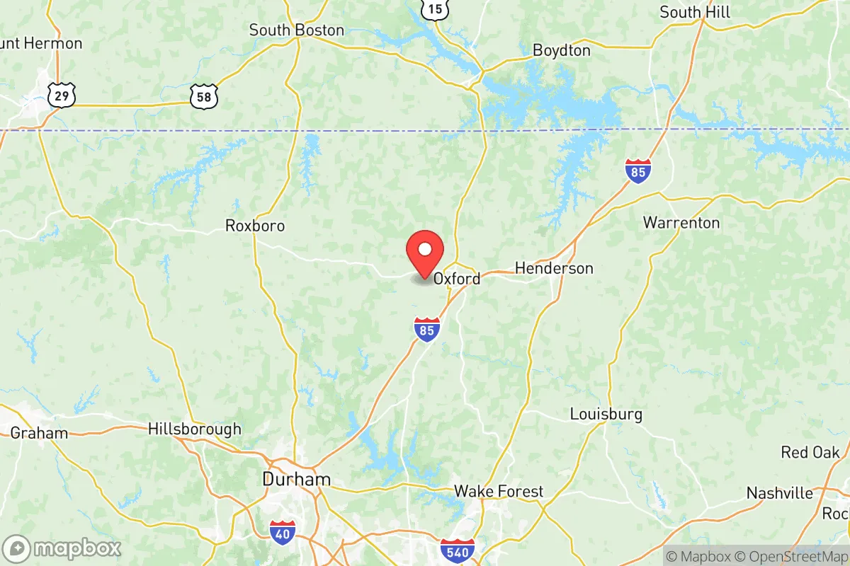
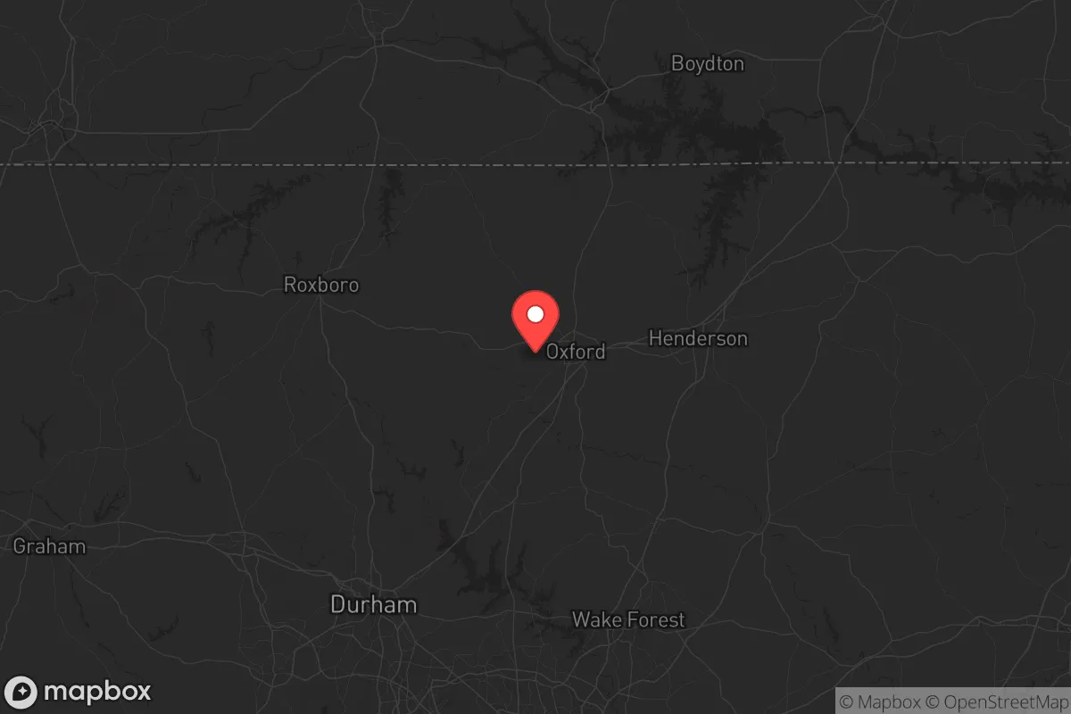
Strategic Assessment of Granville County
Workable tactical position. Some exposure to population density or targets, but generally defensible in a crisis.
What does the Strategic Assessment tell us?
Our Strategic Assessment grades tactical survivability of an area. Major population centers, military targets, fallout zones, natural disasters, and border exposure all drive risk — lower exposure means a more defensible position in a crisis.
This is heavily inspired by Joel Skousen's Strategic Relocation book. Highly recommended you checkout the book ($)What does this tell us?
Our Strategic Assessment grades tactical survivability of an area. Major population centers, military targets, fallout zones, natural disasters, and border exposure all drive risk — lower exposure means a more defensible position in a crisis.
This is heavily inspired by Joel Skousen's Strategic Relocation book. Highly recommended you checkout the book ($)Strategic Pillars

Key Distances
Strategic Assessment Analysis
Granville County, North Carolina, offers a strategic blend of rural self-sufficiency and proximity to critical infrastructure that appeals to relocation-minded individuals and families prioritizing resilience. Located just north of the Research Triangle—Raleigh, Durham, and Chapel Hill—the county provides a buffer from urban density while maintaining access to emergency services, supply chains, and medical hubs. Its position along Interstate 85 and near the Virginia border makes it a viable fallback zone for those seeking to balance isolation with connectivity, though its proximity to major population centers and military installations introduces specific risk considerations for disaster-preparedness planners.
Geographic position and natural advantages for long-term resilience
Granville County sits in the Piedmont region of North Carolina, a landscape of rolling hills, hardwood forests, and numerous rivers and creeks that offer natural defensibility and resource access. The county's terrain is not prone to the coastal hurricane storm surge that threatens eastern North Carolina, nor is it in the flood-prone flatlands of the Coastal Plain. The major waterway is the Tar River, which flows through the county seat of Oxford and provides a reliable surface water source, though it is not navigable for large vessels, reducing industrial traffic risk. The county's elevation averages around 500 feet, which mitigates flood risk from most storm events while still allowing for well-drilling and groundwater access. The presence of the Falls Lake reservoir, located just south in Durham County, serves as a regional water supply buffer, though Granville residents primarily rely on private wells and municipal systems in towns like Creedmoor and Butner. The area's natural cover—mixed pine and hardwood forests—offers concealment and timber resources for fuel or construction, a practical advantage for those planning extended self-sufficiency.
Risk exposures and proximity to fallout-relevant landmarks
While Granville County avoids the direct hurricane landfall risks of the coast, it is not immune to natural hazards. The region experiences occasional tornadoes, with an average of 2-3 touch-downs per year, typically EF-1 or EF-2 strength, and severe thunderstorms can bring damaging winds and hail. Winter ice storms are a recurring threat, capable of downing power lines for days, as seen in the 2002 and 2014 events that left parts of the county without electricity for up to a week. The more significant risk for a resilience-focused relocator is man-made: Granville County lies within 50 miles of Fort Liberty (formerly Fort Bragg), the largest U.S. Army base by population, and within 30 miles of Raleigh-Durham International Airport, a major civilian and military airlift hub. These installations are potential targets in a conflict scenario, and the county's position along I-85—a key logistics corridor connecting the Southeast to the Northeast—could make it a secondary target or a chokepoint for evacuation routes. Additionally, the Shearon Harris Nuclear Plant in neighboring Wake County is approximately 40 miles southeast, within the 50-mile emergency planning zone, though the plant's safety record is strong. For those prioritizing fallout avoidance, the county's proximity to these assets is a net negative, though the rural nature of most of Granville means that direct blast effects are unlikely outside of a ground-level detonation in Oxford or Creedmoor.
Practical resilience for a relocator: food, water, energy, and defensibility
Granville County's agricultural base is a strong point for food security. The county has over 800 farms, with major crops including tobacco, soybeans, corn, and hay, plus a growing number of small-scale livestock operations and community-supported agriculture (CSA) programs. The Oxford Farmers Market operates year-round, and local food co-ops in Stem and Butner provide direct access to produce and meat. For water, the majority of rural properties rely on private wells, with average depths of 150-300 feet yielding good-quality groundwater; the county's water table is generally stable, though drought conditions in 2007-2008 did cause some shallow wells to run dry. Municipal water in Oxford and Creedmoor comes from the Tar River and Falls Lake, respectively, and is treated at local plants with backup generators. Energy resilience is a mixed picture: Duke Energy provides grid power, and outages are common during storms, but the county's rural character means many homes already have backup generators or propane tanks. Solar potential is moderate—the region averages 4.5 peak sun hours per day—and off-grid setups are feasible on larger parcels (5+ acres are common in the northern part of the county). Defensibility is aided by the terrain: the rolling hills and forested areas provide natural cover and limited sightlines, while the county's low population density (about 60,000 residents across 532 square miles) means fewer people to compete with for resources in a crisis. However, the county's road network is sparse outside of the I-85 corridor, with many rural roads being narrow and unpaved, which can hinder both escape and resupply but also slows potential threats.
Overall, Granville County presents a balanced strategic picture for the resilience-minded relocator. Its strengths lie in its agricultural self-sufficiency, reliable groundwater, and moderate climate that avoids the worst of coastal and mountain hazards. The county's location near the Research Triangle provides access to world-class medical care (Duke University Hospital and UNC Hospitals are within 45 minutes) and supply chains, but this same proximity introduces risks from military and industrial targets that cannot be ignored. For a family or individual willing to invest in backup power, water storage, and a defensible property layout—and who accepts the trade-off of being within 50 miles of high-value targets—Granville County offers a viable middle ground between complete rural isolation and urban vulnerability. The key is to choose a location north of Oxford or east of Creedmoor, away from the I-85 corridor and closer to the Virginia border, to maximize buffer distance from the most likely fallout zones.

* Values derived from national, state, county, city and local statistics and may differ in a specific area. Last updated: 2026-09-08T07:06:10.000Z
Narrative content on this page is AI-generated and may contain mistakes. Verify any details that matter before acting on them.
ReloMaps may earn a commission from affiliate links at no extra cost to you.

