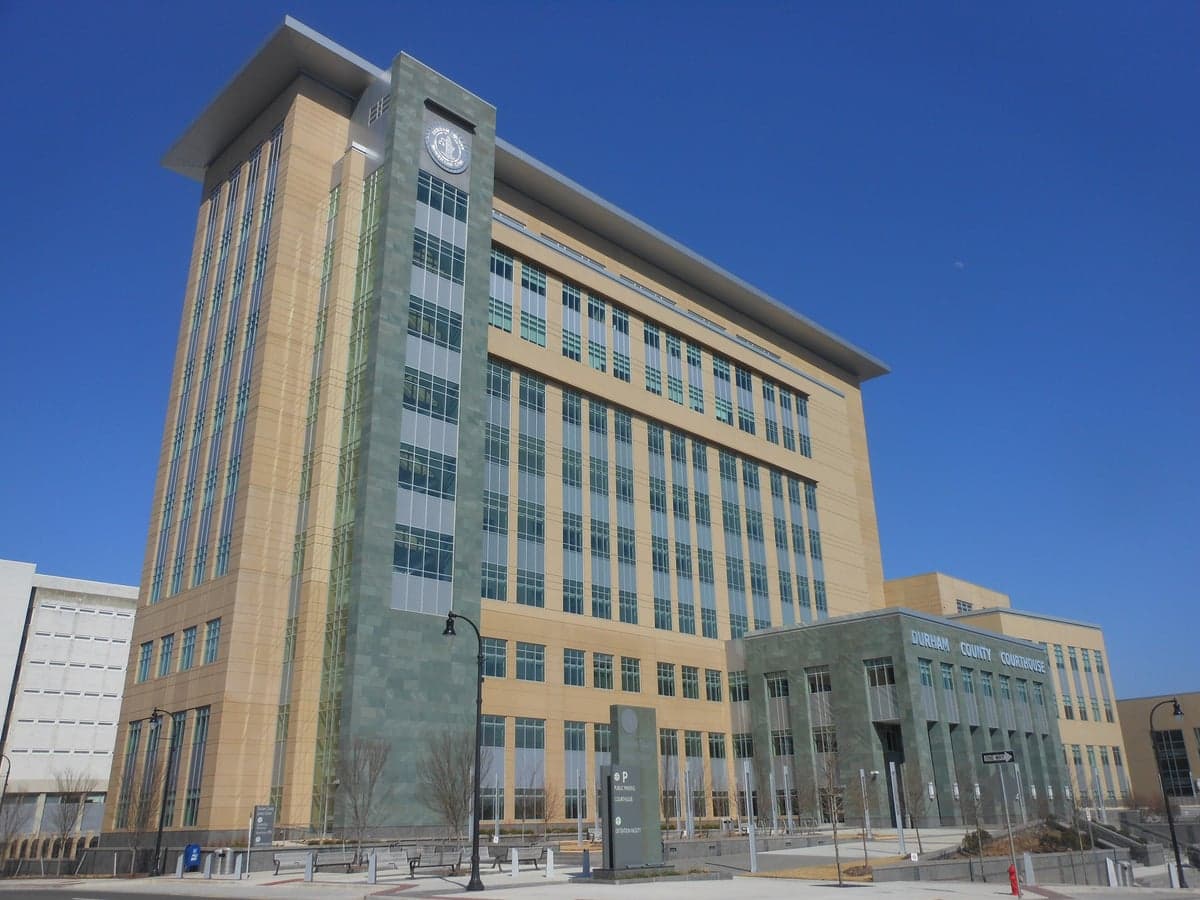
Photo: Wikipedia
Strategic Assessment of Durham County
Multiple tactical vulnerabilities. Population density, target proximity, or disaster risk are likely compounding. A retreat property and exit planning is required.
What does the Strategic Assessment tell us?
Our Strategic Assessment grades tactical survivability of an area. Major population centers, military targets, fallout zones, natural disasters, and border exposure all drive risk — lower exposure means a more defensible position in a crisis.
This is heavily inspired by Joel Skousen's Strategic Relocation book. Highly recommended you checkout the book ($)What does this tell us?
Our Strategic Assessment grades tactical survivability of an area. Major population centers, military targets, fallout zones, natural disasters, and border exposure all drive risk — lower exposure means a more defensible position in a crisis.
This is heavily inspired by Joel Skousen's Strategic Relocation book. Highly recommended you checkout the book ($)Strategic Pillars

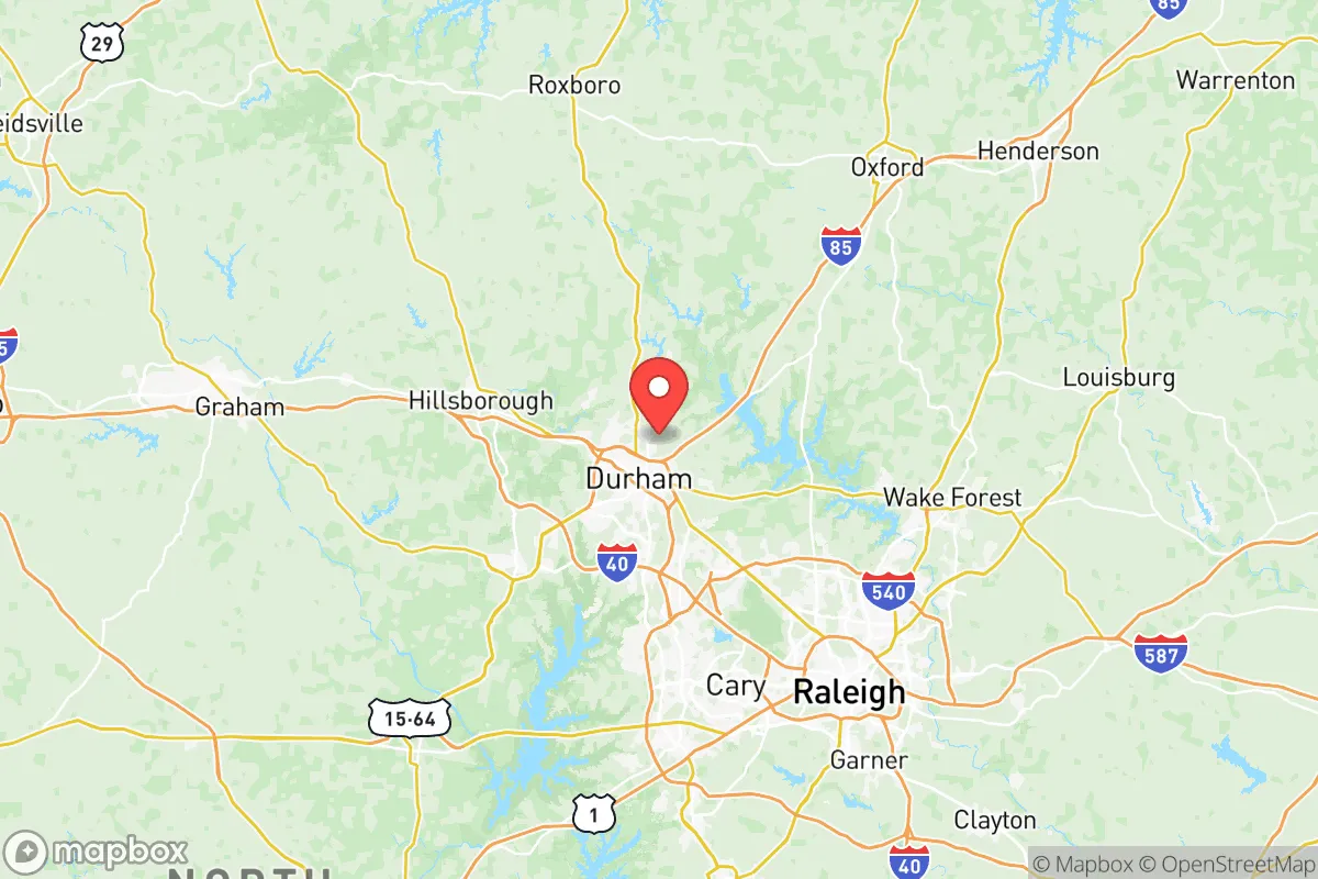
Key Distances
Strategic Assessment Analysis
Durham County, North Carolina, presents a mixed strategic picture for the relocation-minded reader focused on resilience and self-sufficiency. Its position in the Piedmont region offers meaningful geographic advantages over coastal or major industrial zones, but its proximity to Research Triangle Park (RTP) and the Raleigh-Durham metropolitan area introduces significant vulnerabilities that a conservative-leaning, preparedness-oriented individual must weigh carefully. The county's overall resilience profile is moderate, with strong local food and water resources offset by high population density and exposure to regional infrastructure risks.
Geographic position and natural advantages for long-term stability
Durham County sits in the heart of the North Carolina Piedmont, roughly 150 miles from the Atlantic coast and 200 miles from the Appalachian Mountains. This inland location provides a natural buffer against hurricane storm surge, which is a major threat for coastal counties like Dare or New Hanover. The county's elevation ranges from about 300 to 600 feet above sea level, with the city of Durham itself built on rolling hills that offer good drainage and defensible terrain. The area is not prone to earthquakes, tornadoes are less frequent and less intense than in the Plains states, and the climate is temperate with four distinct seasons. The Eno River and the Neuse River both flow through the county, providing surface water sources that are more reliable than in arid western states. The surrounding landscape includes significant forest cover, particularly in the Duke Forest and Eno River State Park areas, which offer both natural resources and potential retreat space. For a relocator seeking a balance between access to civilization and natural security, Durham County's geography is a net positive, especially when compared to the flat, hurricane-prone coastal plain or the more isolated mountain regions.
Risks, exposures, and proximity to fallout-relevant landmarks
The most significant risk for Durham County is its location within the Raleigh-Durham-Cary metropolitan statistical area, which has a population exceeding 2 million people. This density creates a target profile for both natural disasters and man-made events. The county is home to Research Triangle Park, a major hub for biotechnology, pharmaceuticals, and defense-related research, including facilities operated by the U.S. Environmental Protection Agency and the National Institute of Environmental Health Sciences. While not a military base, RTP's concentration of high-value research and development makes it a potential secondary target in a conflict scenario. The county also contains Durham Station, a major Amtrak and bus hub that connects to the Northeast Corridor, and is within 30 miles of Raleigh-Durham International Airport (RDU), a major air cargo and passenger hub. These transportation nodes increase the area's exposure to supply chain disruptions and evacuation bottlenecks. There are no nuclear power plants within Durham County itself, but the Shearon Harris Nuclear Power Plant is located about 30 miles south in Wake County, within the 50-mile emergency planning zone. A major incident there could affect Durham County's air and water. Additionally, the county's proximity to Interstate 85 and Interstate 40, which carry hazardous materials through the region, introduces a constant low-level risk of chemical spills or transportation accidents. For a relocator concerned with fallout and man-made risks, Durham County's position near these landmarks is a clear negative, though not as severe as living directly adjacent to a refinery or military base.
Practical resilience for a relocator: food, water, energy, and defensibility
Durham County offers several practical advantages for a relocator focused on self-sufficiency, but also notable weaknesses. Water resources are strong: the county draws its municipal supply from the Eno River and Lake Michie, with the Brown's Water Treatment Plant and the Williams Water Treatment Plant providing redundancy. For a private well owner, the Piedmont's groundwater is generally accessible and of good quality, though deeper wells may be needed in some areas. Food production potential is moderate. The county has a growing local food movement, with the Durham Farmers' Market and numerous community gardens, but the majority of agricultural land is in the surrounding counties of Orange, Granville, and Person. A relocator would need to secure land outside the urban core for serious food production. The soil is clay-heavy in many areas, requiring amendment for productive gardening. Energy infrastructure is a vulnerability. The county is served by Duke Energy, and the grid is aging and increasingly stressed by growing demand. Power outages during summer thunderstorms or winter ice storms are common, and the area's reliance on a centralized grid makes it susceptible to cascading failures. Solar potential is good, with the region receiving about 4.5 peak sun hours per day, but homeowners' association restrictions in some subdivisions can limit installation. Defensibility is mixed. The urban areas of Durham city are dense and difficult to secure, but the rural western and northern parts of the county, particularly around the Eno River State Park and Falls Lake, offer more isolated properties with natural barriers. The county's network of secondary roads provides multiple evacuation routes, though major highways like I-85 and I-40 can become impassable during a mass evacuation event. For a relocator, the key is to choose a property in the less densely populated areas, ideally with a well, solar capability, and good access to secondary roads.
The overall strategic picture for Durham County is one of calculated trade-offs. It offers a genuine geographic buffer against coastal and industrial threats, with solid water resources and a temperate climate that supports year-round food production. However, its position within a major metropolitan area, proximity to RTP and RDU, and vulnerability to grid failures and transportation corridor risks mean it is not a high-security retreat. For a relocator who values access to medical care, employment, and community while maintaining a reasonable level of preparedness, Durham County can work, but only with deliberate property selection and investment in off-grid capabilities. It is a better choice than a coastal city like Wilmington or a refinery-adjacent area like Houston, but it is not a substitute for a more remote location in the mountains or a rural county with lower population density. The prudent relocator should treat Durham County as a base for building resilience, not as a finished solution.

* Values derived from national, state, county, city and local statistics and may differ in a specific area. Last updated: 2026-06-15T22:53:58.000Z
Narrative content on this page is AI-generated and may contain mistakes. Verify any details that matter before acting on them.
ReloMaps may earn a commission from affiliate links at no extra cost to you.

