
Photo: Wikipedia
Strategic Assessment of Craven County
Meaningful friction. Expect exposure to either population pressure, blast zones, or natural disaster risk. Consider buying a retreat property.
What does the Strategic Assessment tell us?
Our Strategic Assessment grades tactical survivability of an area. Major population centers, military targets, fallout zones, natural disasters, and border exposure all drive risk — lower exposure means a more defensible position in a crisis.
This is heavily inspired by Joel Skousen's Strategic Relocation book. Highly recommended you checkout the book ($)What does this tell us?
Our Strategic Assessment grades tactical survivability of an area. Major population centers, military targets, fallout zones, natural disasters, and border exposure all drive risk — lower exposure means a more defensible position in a crisis.
This is heavily inspired by Joel Skousen's Strategic Relocation book. Highly recommended you checkout the book ($)Strategic Pillars

Key Distances
Strategic Assessment Analysis
Craven County, North Carolina, offers a compelling mix of strategic depth and practical resilience for those prioritizing disaster readiness and self-sufficiency, largely due to its position along the Neuse and Trent Rivers and its distance from major metropolitan blast zones. The county seat, New Bern, sits roughly 35 miles from the Atlantic coast, placing it inland enough to avoid the worst of a direct hurricane storm surge while still benefiting from coastal infrastructure. For a relocator thinking seriously about long-term stability, Craven County’s combination of military presence, agricultural capacity, and moderate population density creates a buffer against the chaos that would follow a major disruption of the Eastern Seaboard’s urban spine.
Geographic position and natural advantages for long-term stability
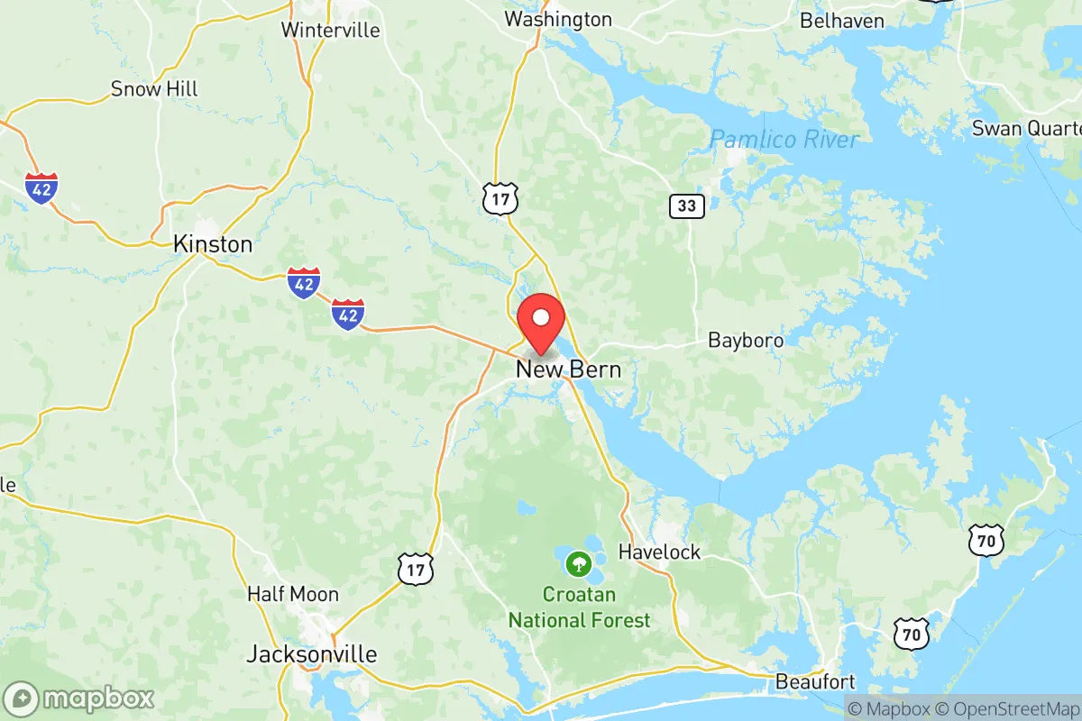
Craven County’s geography is defined by the confluence of the Neuse and Trent Rivers at New Bern, providing both a natural water source and a navigable route to the Pamlico Sound. The county’s terrain is predominantly flat, coastal plain, with elevations rarely exceeding 50 feet, which limits defensible high ground but also means the land is highly arable. The surrounding Croatan National Forest to the south and the vast pocosin wetlands of the region act as natural buffers, slowing any overland movement and limiting population density in the immediate hinterland. New Bern itself is roughly 100 miles southeast of Raleigh, placing it outside the likely fallout radius of a major strike on the state capital, while the county’s eastern edge, including towns like Havelock and Vanceboro, sits even further from high-value targets. The proximity to Marine Corps Base Camp Lejeune in neighboring Onslow County and Marine Corps Air Station Cherry Point in Havelock is a double-edged sword: these bases are potential targets, but they also ensure a robust emergency response infrastructure and a population accustomed to operational security and logistics.
Risks, exposures, and proximity to fallout-relevant landmarks
The most significant risk for Craven County is its exposure to Atlantic hurricanes and the associated storm surge, particularly along the Neuse River. Hurricane Florence in 2018 caused catastrophic flooding in New Bern, with the Neuse rising over 10 feet in some areas, demonstrating that even inland locations are not immune to waterborne destruction. Beyond weather, the county contains several landmarks that could become liabilities in a national emergency. Marine Corps Air Station Cherry Point in Havelock is a primary East Coast aviation hub for the Marine Corps, making it a high-priority target in a conventional conflict. The nearby Port of Morehead City, just across the county line in Carteret County, is a major bulk cargo terminal handling phosphate, petroleum, and aggregate, which could draw secondary effects. Craven County is also within 50 miles of the Brunswick Nuclear Plant in Southport, a potential fallout source in the event of a catastrophic failure or attack. For a relocator, the key takeaway is that while the county avoids the direct blast zones of cities like Washington, D.C., or Charlotte, it sits within a corridor of military and industrial infrastructure that could see secondary disruptions.
Practical resilience for a relocator: food, water, energy, and defensibility
Craven County’s practical resilience is anchored in its agricultural capacity and water resources. The county has over 400 farms, producing tobacco, soybeans, corn, and livestock, which means local food supply chains are robust even if national distribution falters. The Neuse and Trent Rivers provide abundant freshwater, though treatment infrastructure is centralized in New Bern and Havelock, so a relocator should plan for private well installation or rainwater catchment if self-sufficiency is the goal. Energy infrastructure is mixed: Duke Energy provides grid power, but the county has limited distributed renewable generation, so a backup solar or generator setup is advisable. Defensibility is moderate—the flat terrain and river crossings create natural chokepoints, but the county’s road network (US-70, US-17, and NC-43) offers multiple egress routes toward the interior. The population density is roughly 130 people per square mile, low enough to avoid the resource competition of urban areas but high enough that rural properties in areas like Vanceboro or Dover offer genuine isolation. For a family or individual, the practical play is to secure land along the Neuse’s upper reaches, away from the floodplain, and establish independent water and power before any crisis.
Overall, Craven County presents a balanced strategic picture for the disaster-conscious relocator: it avoids the highest-risk urban and industrial zones while offering real agricultural and water advantages, but it is not a fortress. The presence of Cherry Point and the proximity to the Brunswick Nuclear Plant mean that a major conflict or cascading infrastructure failure could still reach the county, but the likelihood of direct physical destruction is far lower than in Raleigh, Charlotte, or the Hampton Roads area. For someone willing to invest in flood mitigation, independent power, and a well, Craven County provides a livable, defensible base with access to coastal resources and interior escape routes. The key is to treat it as a resilient hub rather than a bunker—capable of riding out regional disruptions, but requiring active preparation to handle the specific risks of eastern North Carolina.

* Values derived from national, state, county, city and local statistics and may differ in a specific area. Last updated: 2026-07-02T17:18:04.000Z
Narrative content on this page is AI-generated and may contain mistakes. Verify any details that matter before acting on them.
ReloMaps may earn a commission from affiliate links at no extra cost to you.

